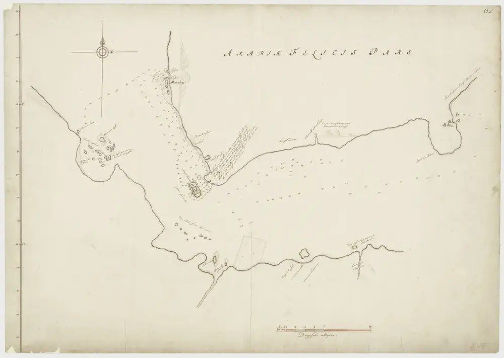
Kaart van een deel van de Rode Zee
1700
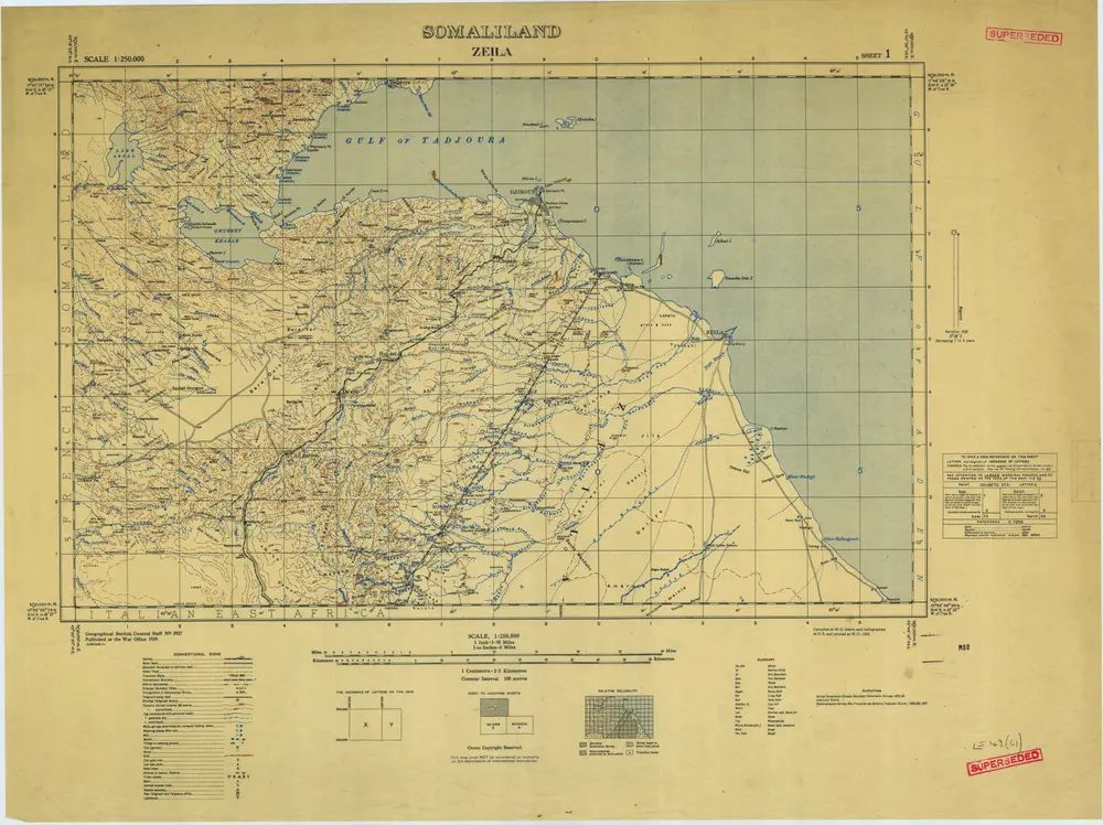
Somaliland 1:250 000, Zeila
1939
Great Britain. War Office. General Staff. Geographical Section.
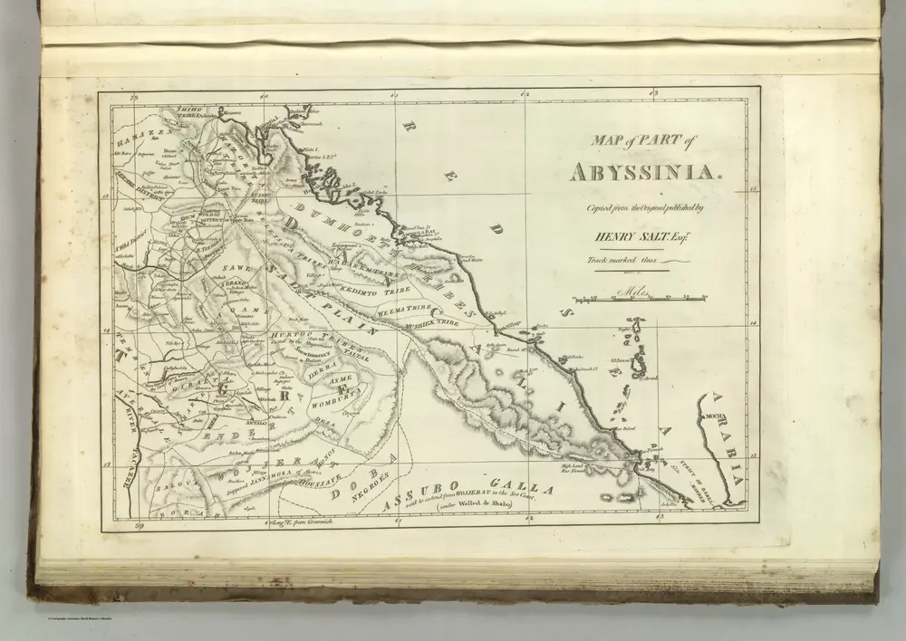
Map of Abyssinia.
1824
Melish, John
1:1m
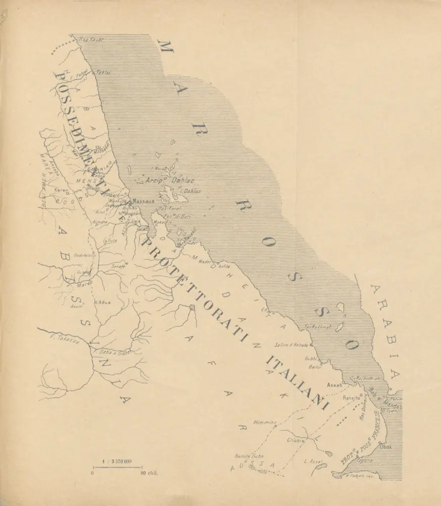
Possedimenti e protettorati Europei in Africa, 1889. Raccolta di notizie ... sulle regioni costiere africane Corredato di ... disegni
1889

Carte d'Abyssinie et des contrées adjacentes dressée partie d'après des observations faites sur les lieux par l'auteur, partie d'après les informations prises dans le pays en 1809 et 1810
1814
par Henry Salt
1:5m
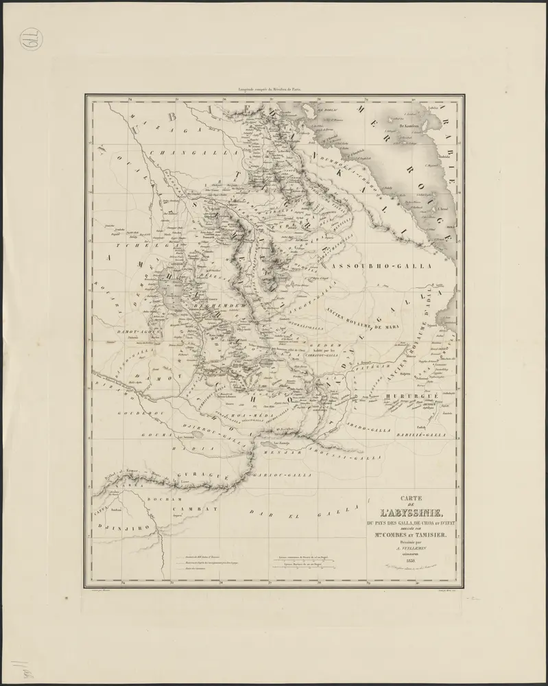
Carte de l'Abyssinie, du pays des Galla, de Choa et d'Ifat
1838
dressée par Mrs. Combes et Tamisier
1:3m
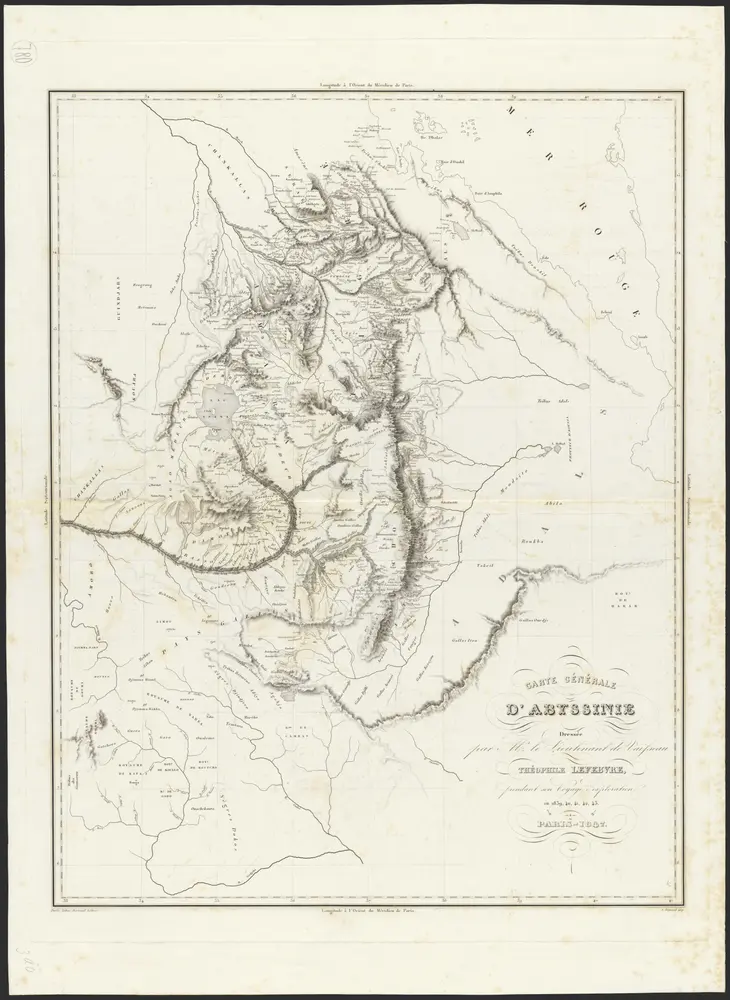
Carte générale d'Abyssinie
1847
dressée par M. le lieutenant de vaisseau Théophile Lefebvre pendant son voyage d'exploration en 1839, 40, 41, 42, 43
1:2m
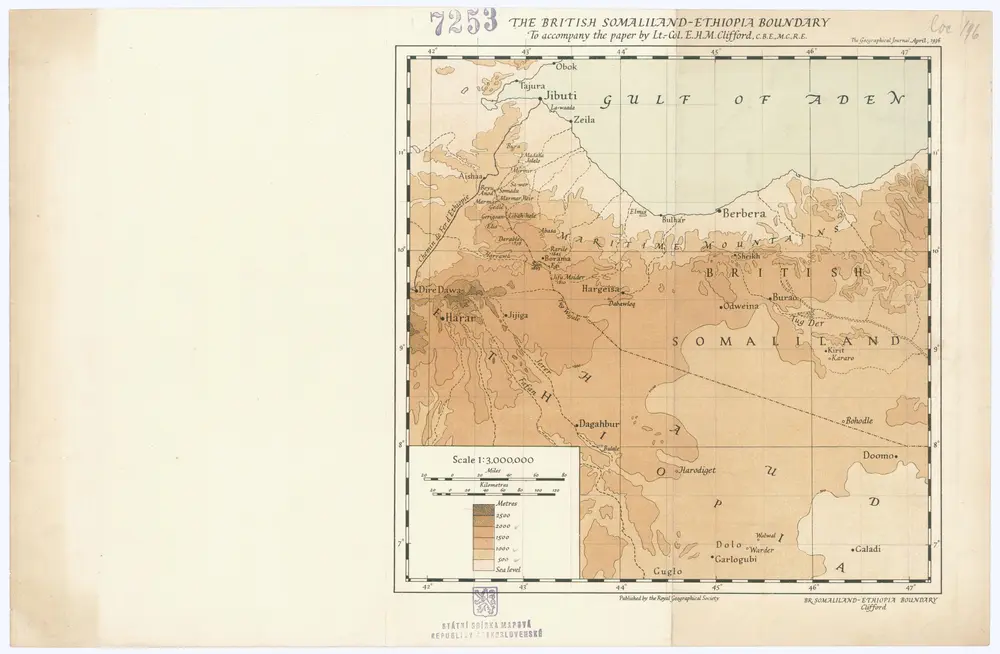
The British Somaliland - Ethiopia boundary
1936
Royal geographical society
1:3m
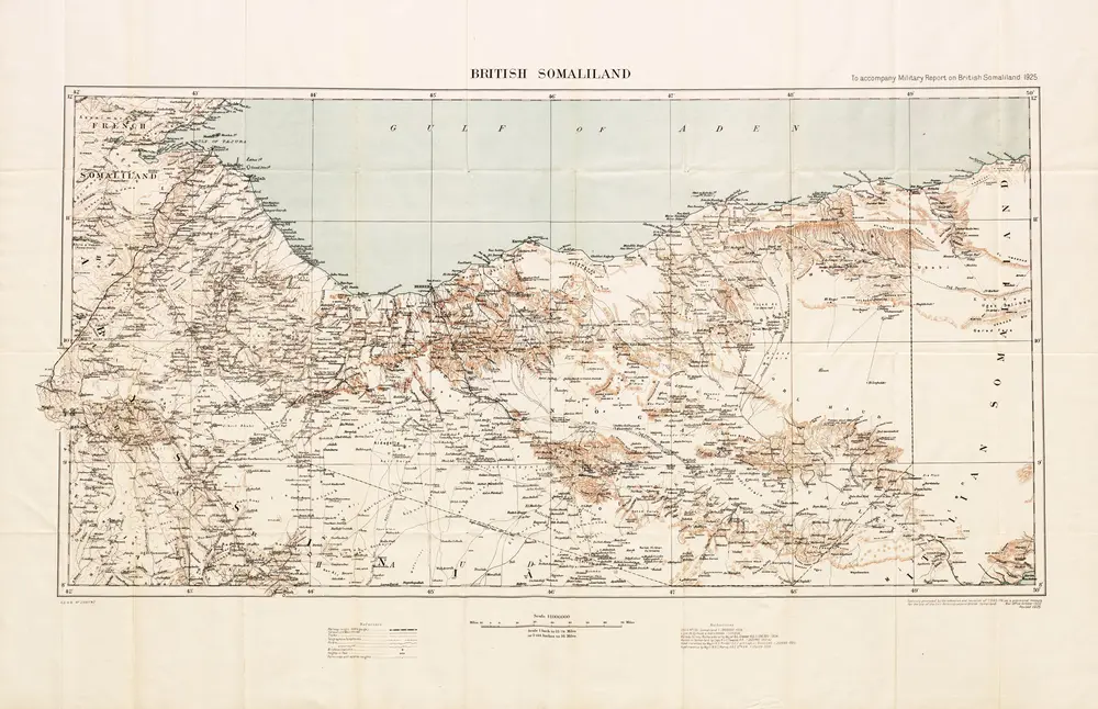
British Somaliland, GSGS 2991 (1922)
1922
Great Britain. General Staff. Geographical Section.
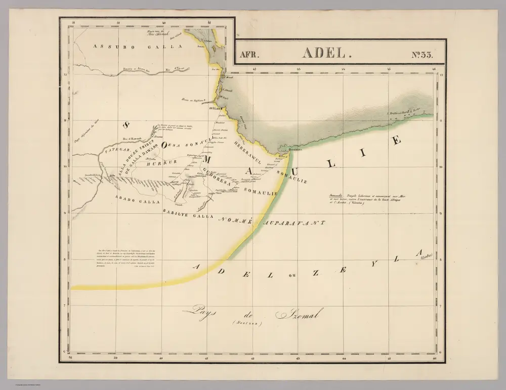
Adel. Afrique 33.
1827
Vandermaelen, Philippe, 1795-1869
1:2m
タジュラ州の古地図
歴史的な地図でタジュラ州の過去を発見する
タジュラ州の古地図
歴史的な地図でタジュラ州の過去を発見する
を探している Google Maps APIの代替?