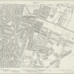
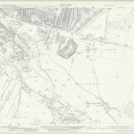
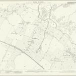
Kent XIX.8 (includes: Gillingham) - 25 Inch Map
1932
Ordnance Survey
1:3k
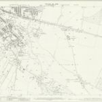
Kent XIX.8 (includes: Gillingham) - 25 Inch Map
1907
Ordnance Survey
1:3k
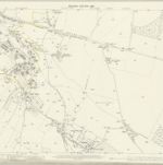
Kent XIX.8 (includes: Gillingham) - 25 Inch Map
1896
Ordnance Survey
1:3k
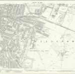
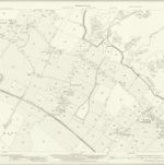
Kent XIX.12 (includes: Chatham; Gillingham) - 25 Inch Map
1939
Ordnance Survey
1:3k
Kent XIX.12 (includes: Chatham; Gillingham) - 25 Inch Map
1932
Ordnance Survey
1:3k
Kent XIX.12 (includes: Chatham; Gillingham) - 25 Inch Map
1907
Ordnance Survey
1:3k
Kent XIX.12 (includes: Chatham; Gillingham) - 25 Inch Map
1896
Ordnance Survey
1:3k

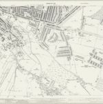
Rainham (Kent)
1797
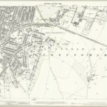
Kent XX.5 (includes: Gillingham) - 25 Inch Map
1932
Ordnance Survey
1:3k
Kent XX.5 (includes: Gillingham) - 25 Inch Map
1906
Ordnance Survey
1:3k
ジリンガムの古地図
歴史的な地図でジリンガムの過去を発見する
ジリンガムの古地図
歴史的な地図でジリンガムの過去を発見する
を探している Google Maps APIの代替?