Skatalogowana mapa
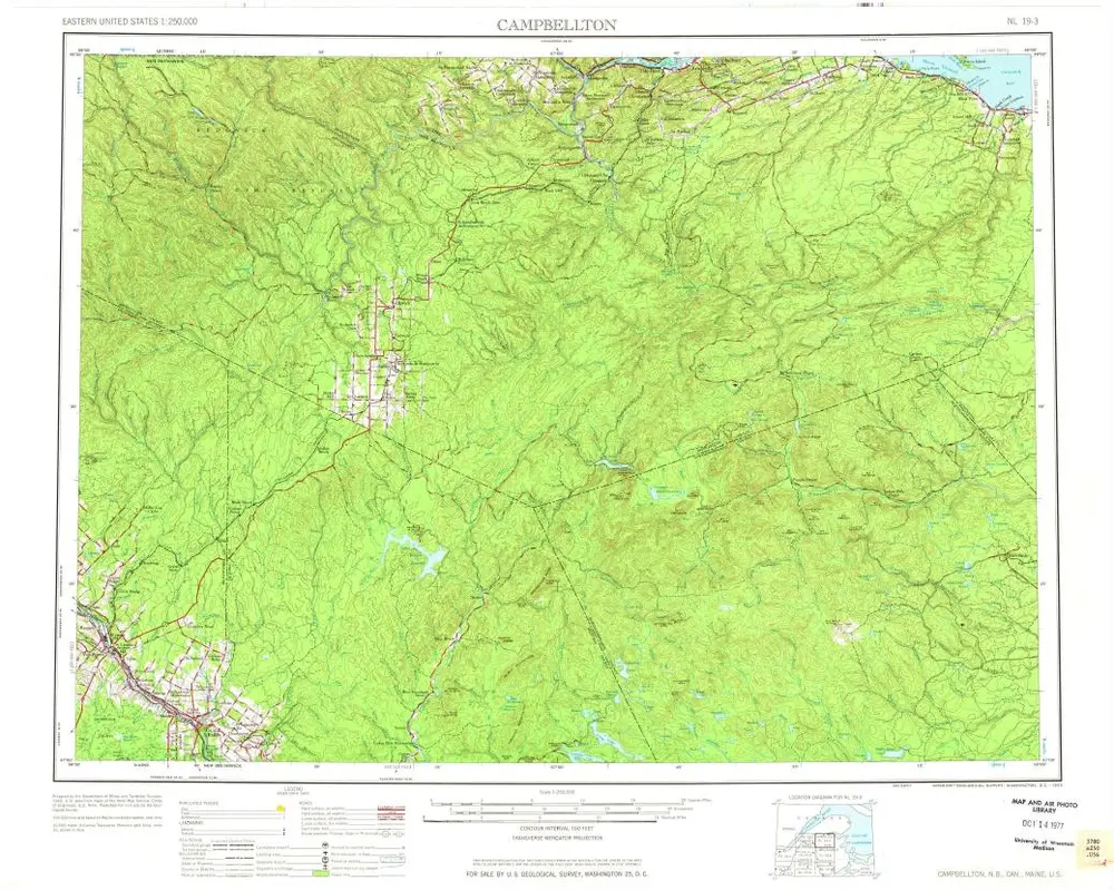
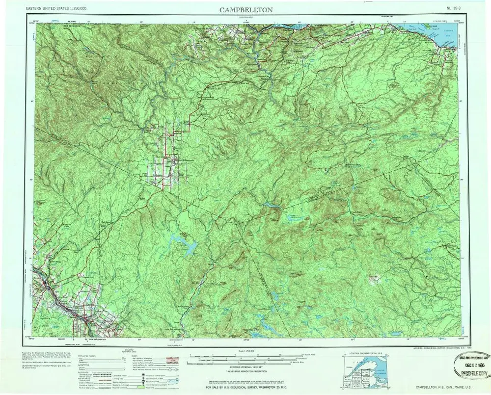
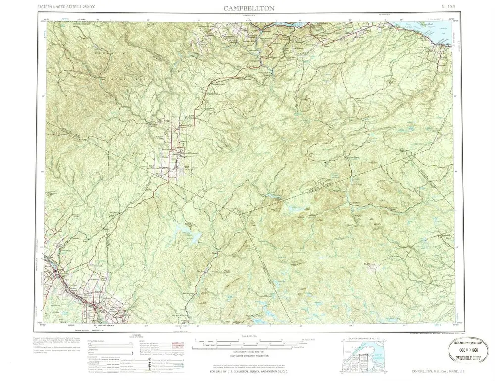
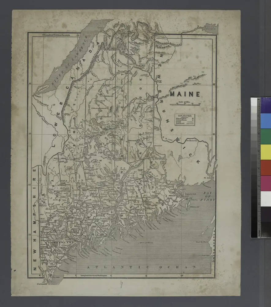
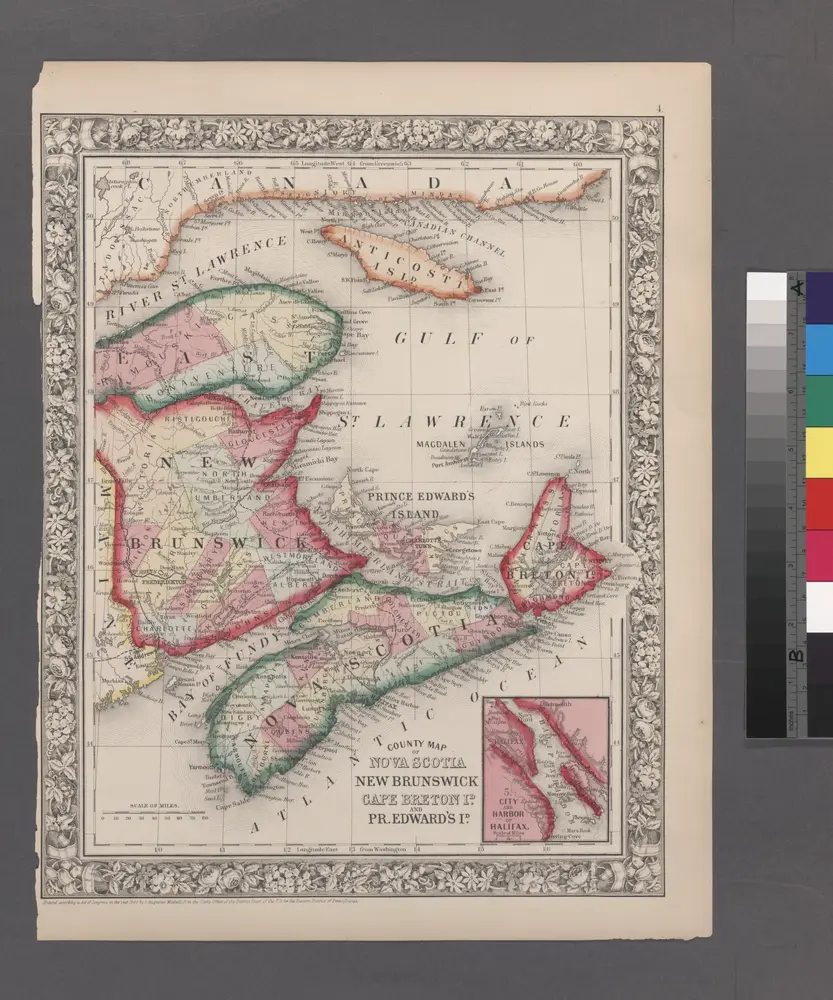
County map of Nova Scotia, New Brunswick, Cape Breton, and Prince Edward's Islands; City and harbor of Halifax [inset].

Instytucja:New York Public Library
Pełny tytuł:County map of Nova Scotia, New Brunswick, Cape Breton, and Prince Edward's Islands; City and harbor of Halifax [inset].
Rok ilustracji:1860