Progetto
Comunità
Notizie
La mia app
Le mie mappe
Katalogisierte Karte
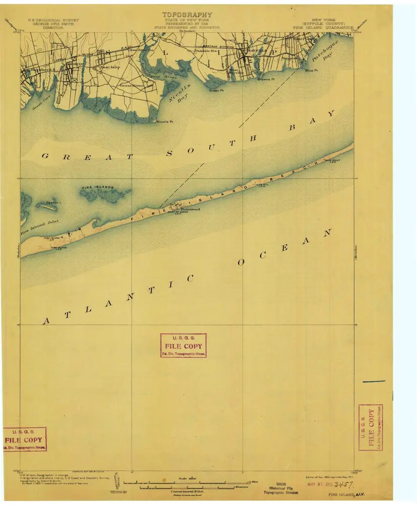
Fire Island
Visualizza sul sito web esterno
Visualizza digitalizzato
Einrichtung:
United States Geological Survey
Vollständiger Titel:
Fire Island
Jahr der Abbildung:
1903
Veröffentlichungsdatum:
1911
Maßstab der Karte:
1:62 500
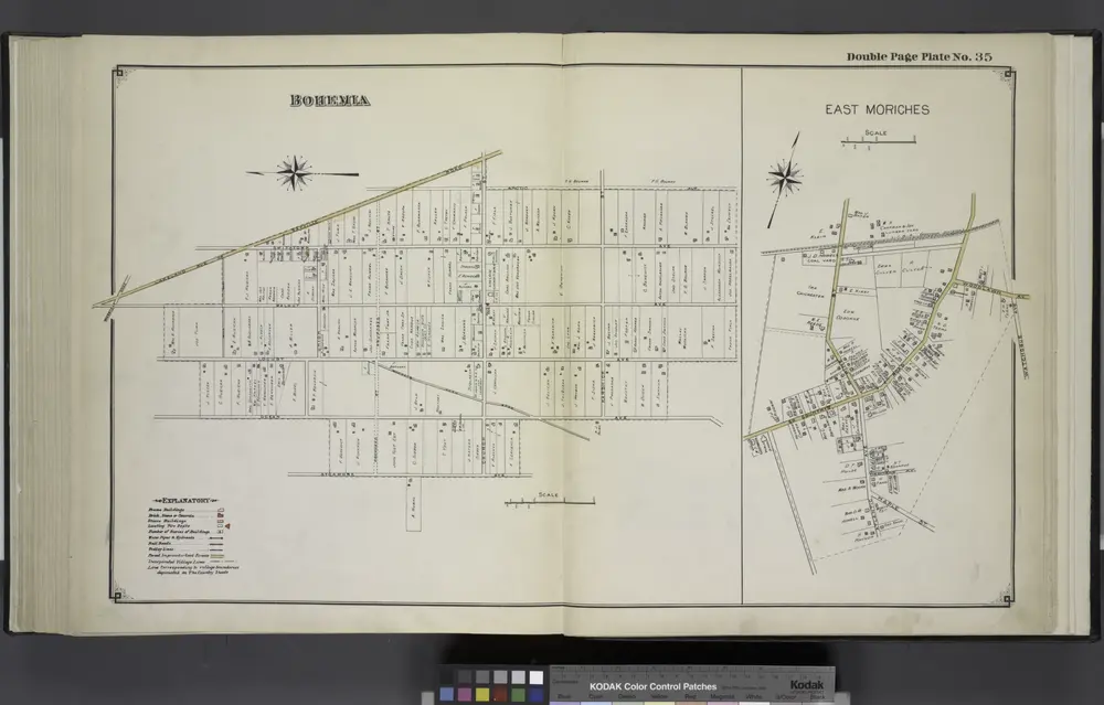
Bohemia; East Moriches
1915
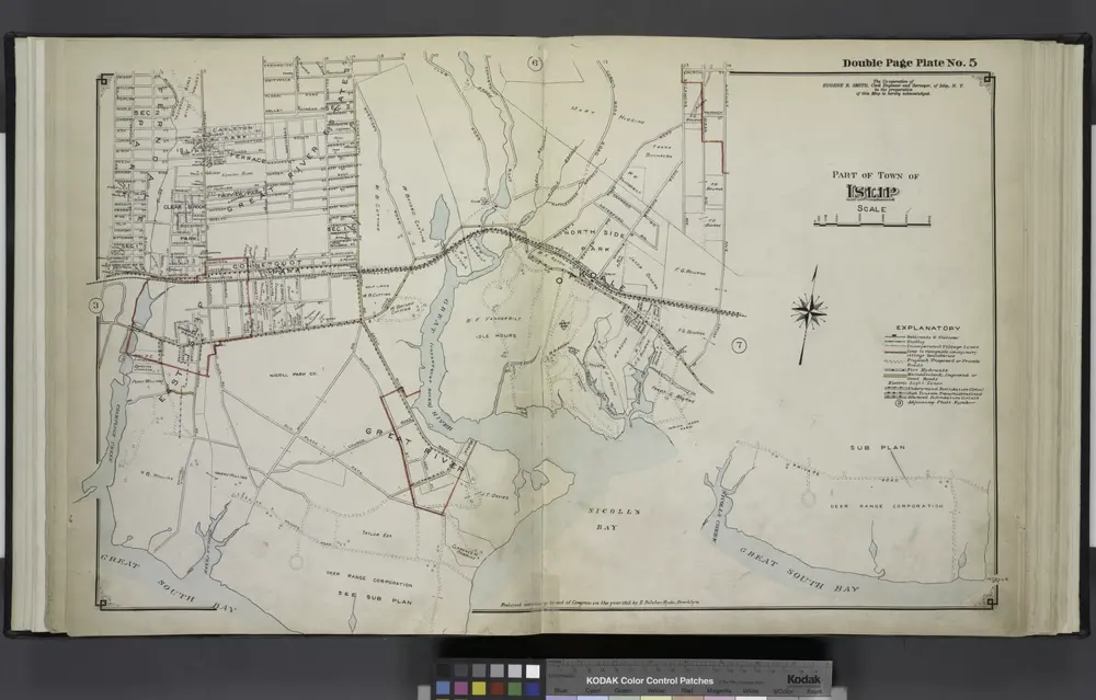
Part of Town of Islip
1915
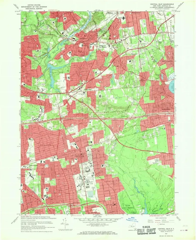
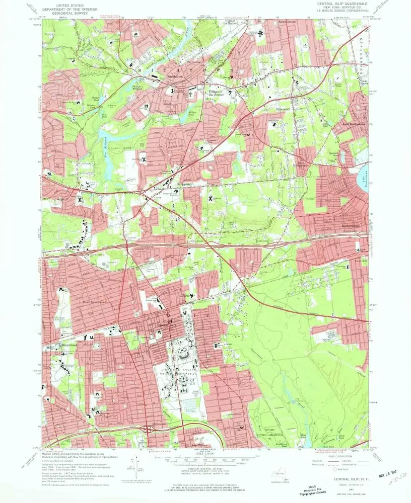
Central Islip
1967
1:24k
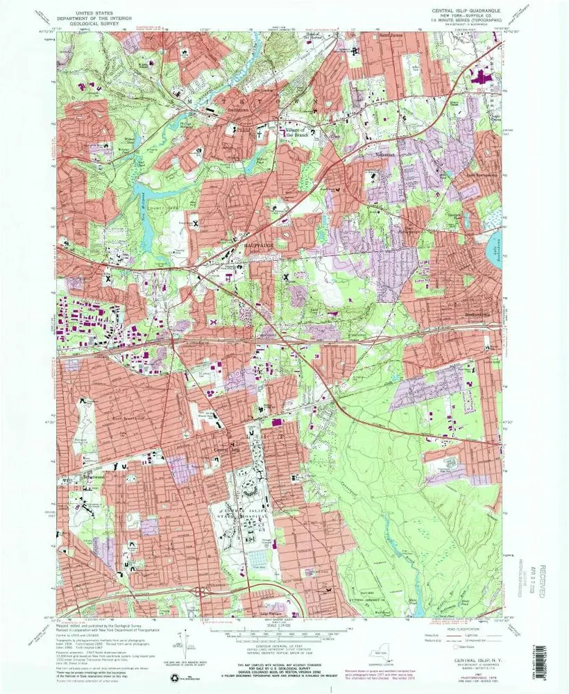
Central Islip
1967
1:24k
Central Islip
1967
1:24k
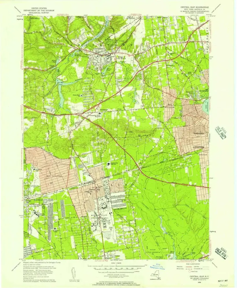
Central Islip
1956
1:24k
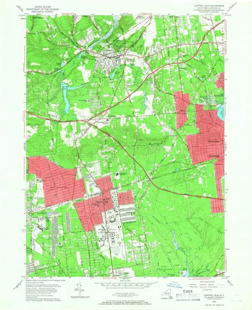
Central Islip
1956
1:24k
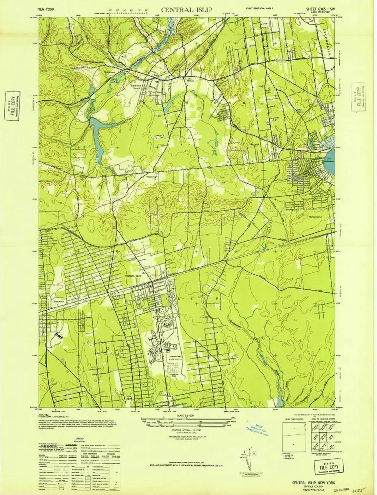
Central Islip
1947
1:24k
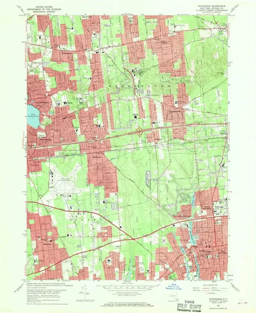
Patchogue
1967
1:24k
Patchogue
1967
1:24k
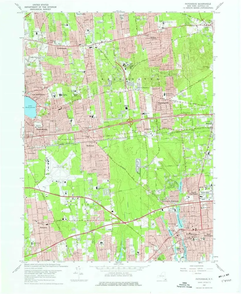
Patchogue
1956
1:24k
Patchogue
1956
1:24k
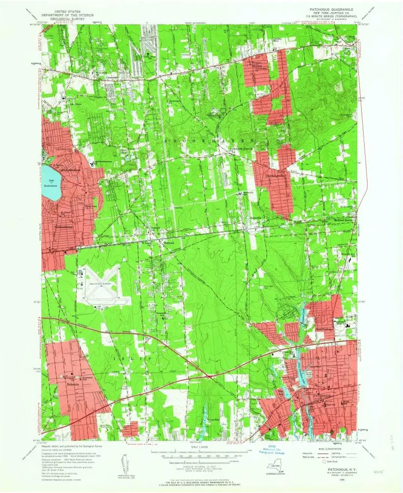
Patchogue
1947
1:24k
Geschichte