Progetto
Comunità
Notizie
La mia app
Le mie mappe
Skatalogowana mapa
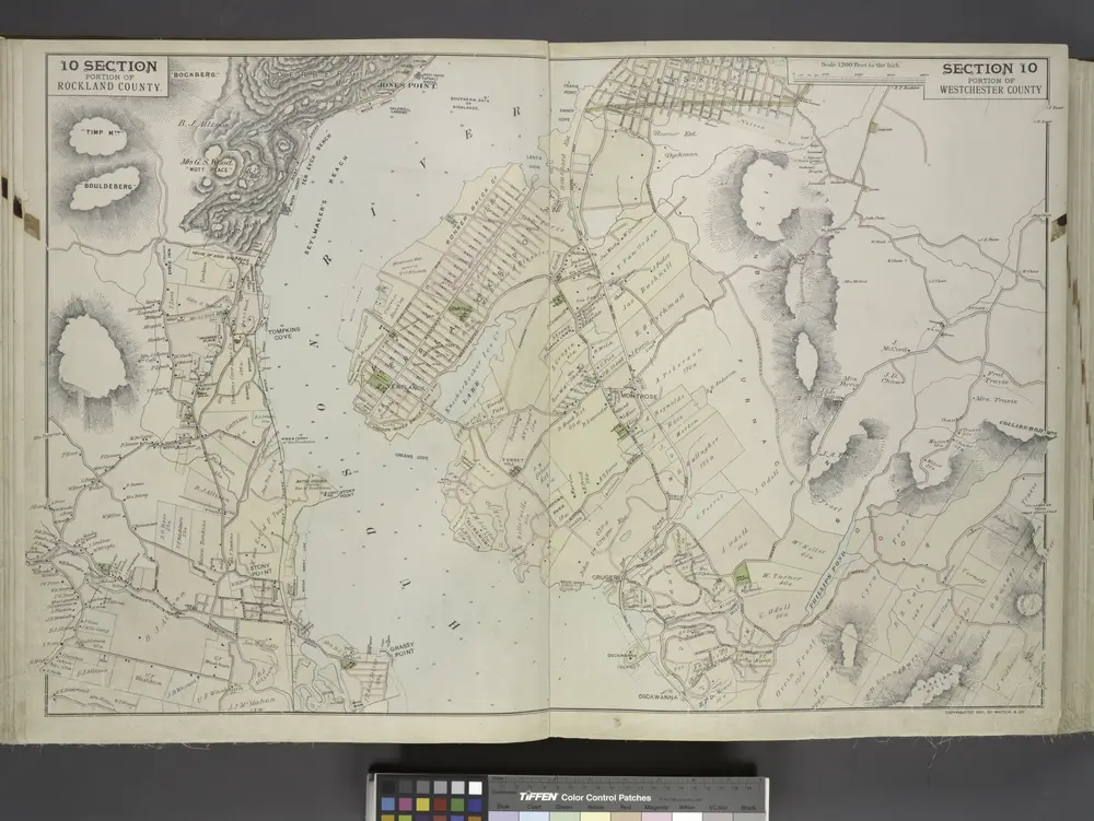
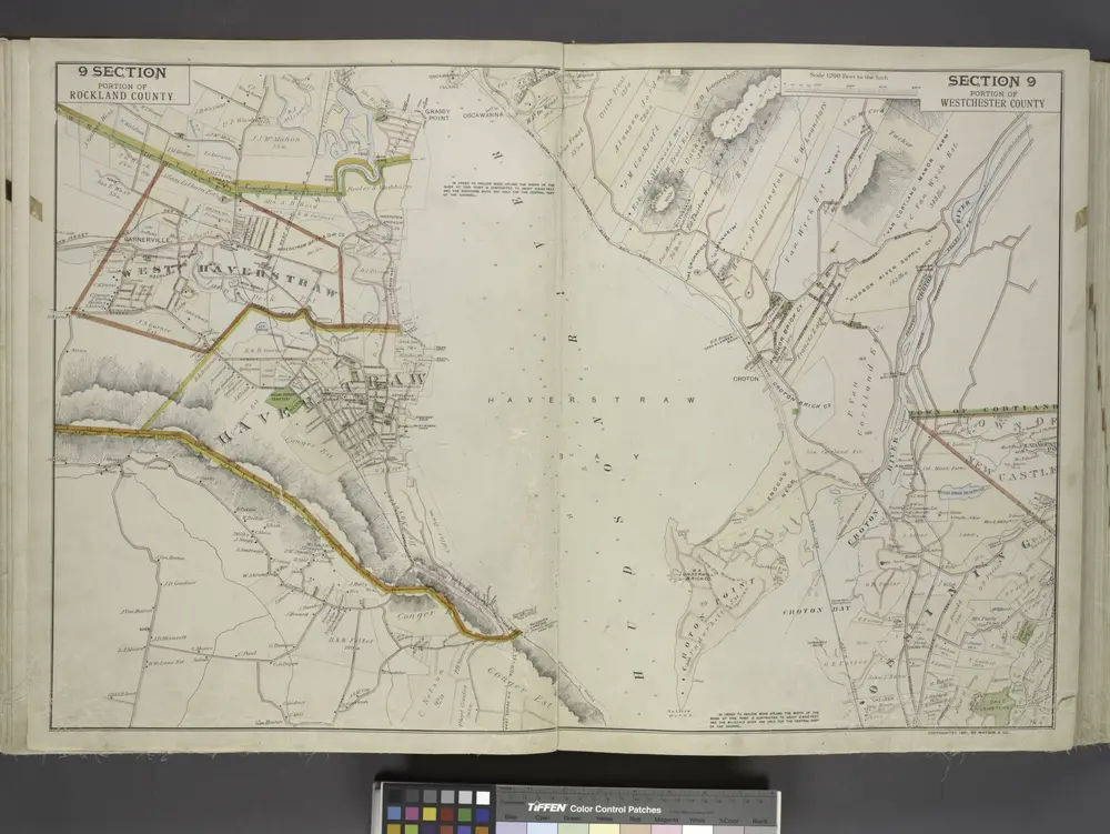
10 Rockland, Westchester counties.
Instytucja:
The David Rumsey Map Collection
Pełny tytuł:
10 Rockland, Westchester counties.
Rok ilustracji:
1891
Data publikacji:
1891
Wydawca:
Watson & Co.
Skala mapy:
1:14 400
Portion of Rockland County. ; Portion of Westchester County.
1891
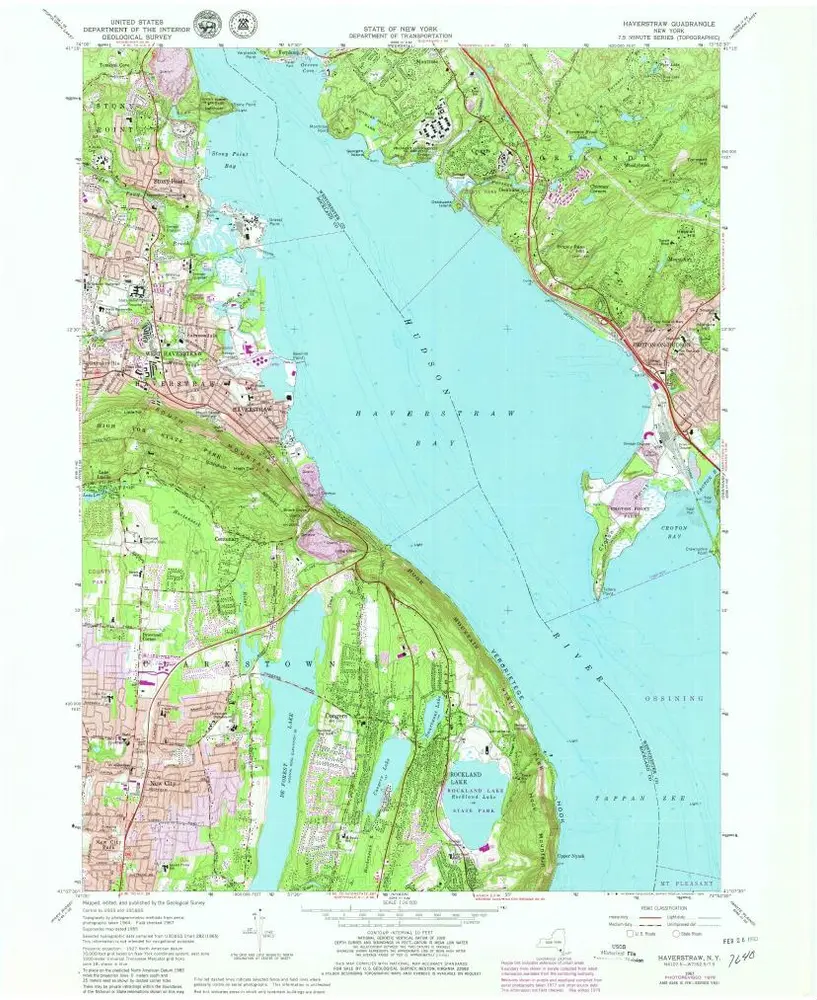
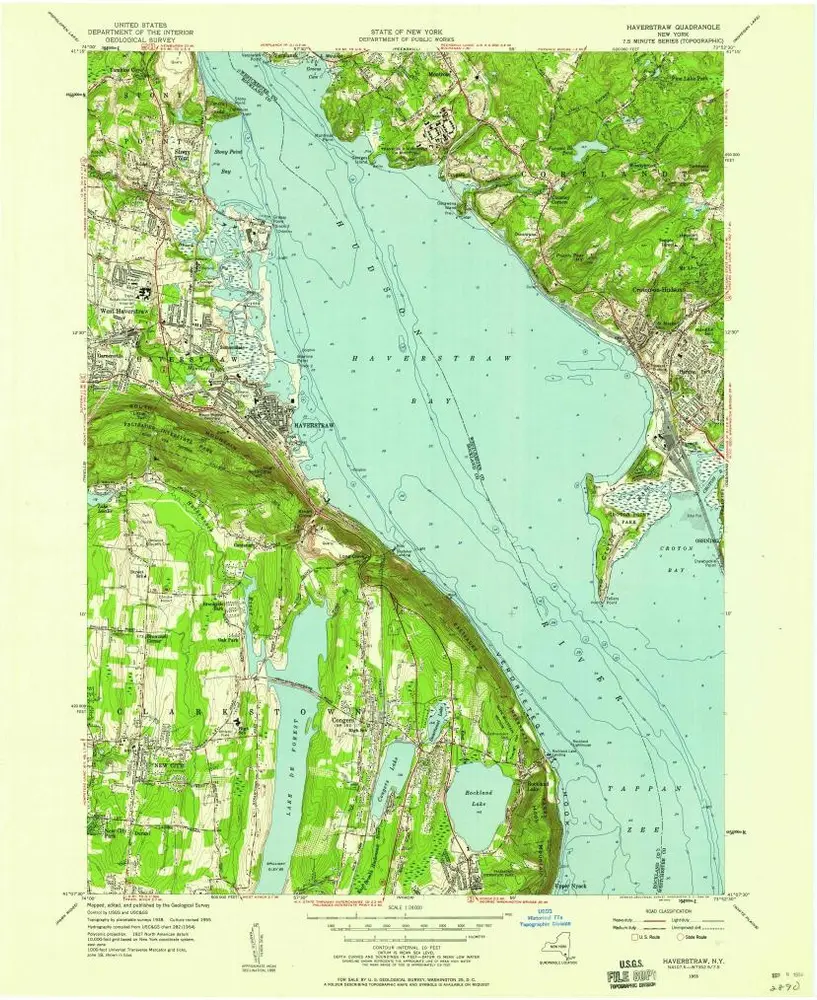
Haverstraw
1979
1:24k
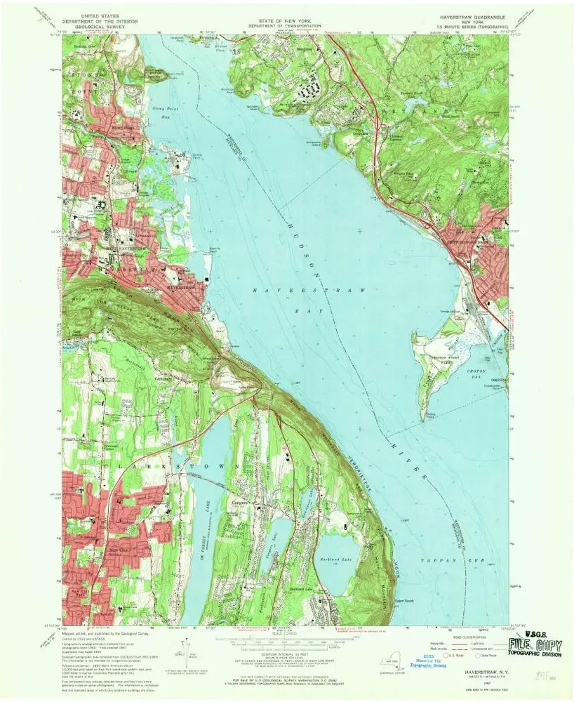
Haverstraw
1967
1:24k
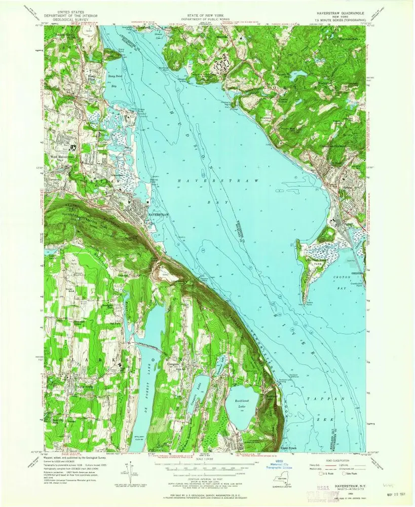
Haverstraw
1955
1:24k
Haverstraw
1955
1:24k
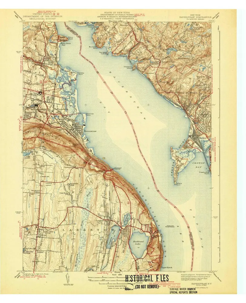
Haverstraw
1943
1:32k
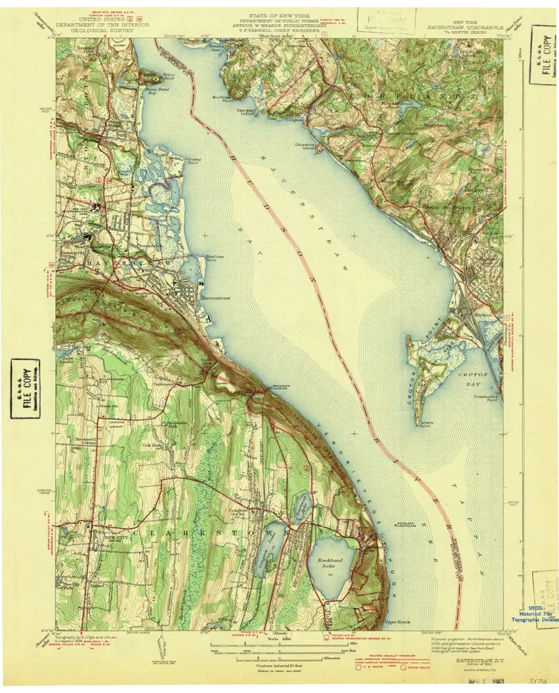
Haverstraw
1943
1:32k
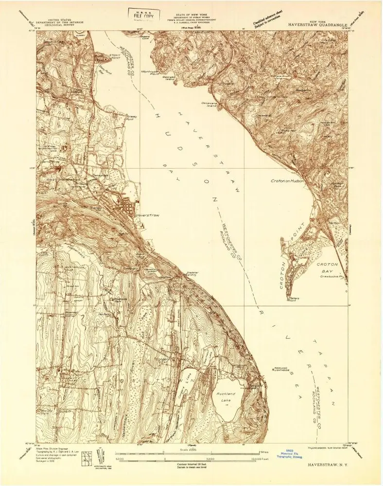
Haverstraw
1938
1:24k
Portion of Rockland County. ; Portion of Westchester County.
1891
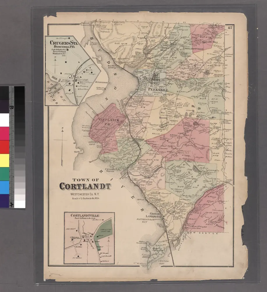
Crugers Sta,. Boscobel P.O.
1872
Historia