Carte cataloguée
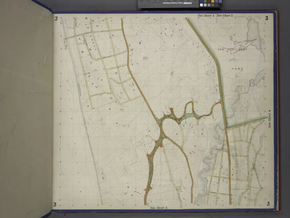
Bronx, Topographical Map Sheet 3; [Map bounded by Bates St., Riverdale Ave., Moshold Ave., Broadway, Vancortlandt Ave., Bailey Ave., Ft. Independence St.; Including Albany Road, Church Kingsbridge Ave., Webbers Lane, Ackerman St., Johnson Ave., Spuyte...

Institution:New York Public Library
Titre complet:Bronx, Topographical Map Sheet 3; [Map bounded by Bates St., Riverdale Ave., Moshold Ave., Broadway, Vancortlandt Ave., Bailey Ave., Ft. Independence St.; Including Albany Road, Church Kingsbridge Ave., Webbers Lane, Ackerman St., Johnson Ave., Spuyte...
Année de l'image:1871
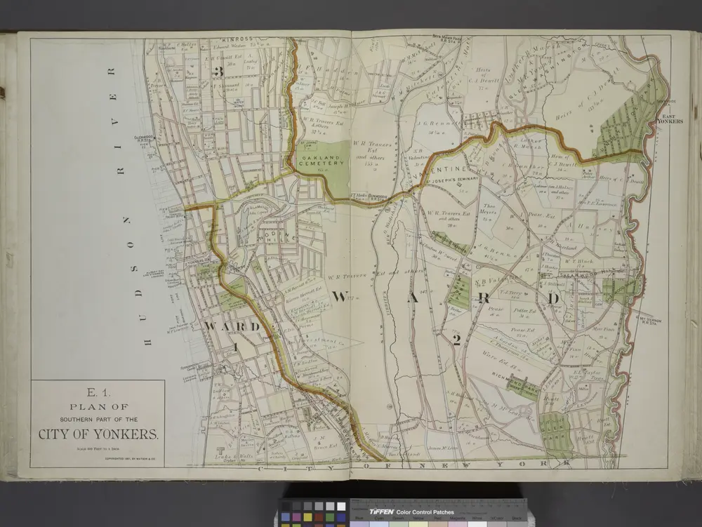
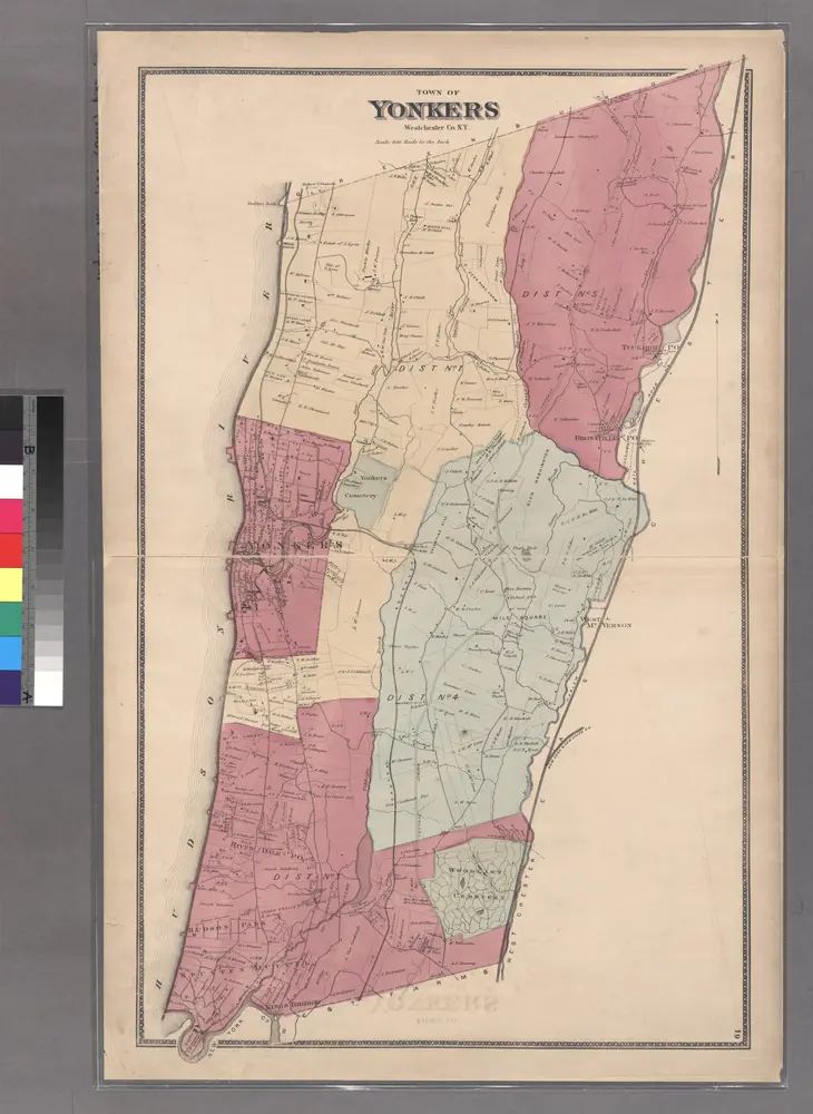
Plan of Southern part of the City of Yonkers.
1891
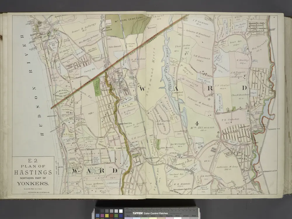
Plan of Hastings Northern part of Yonkers.
1891
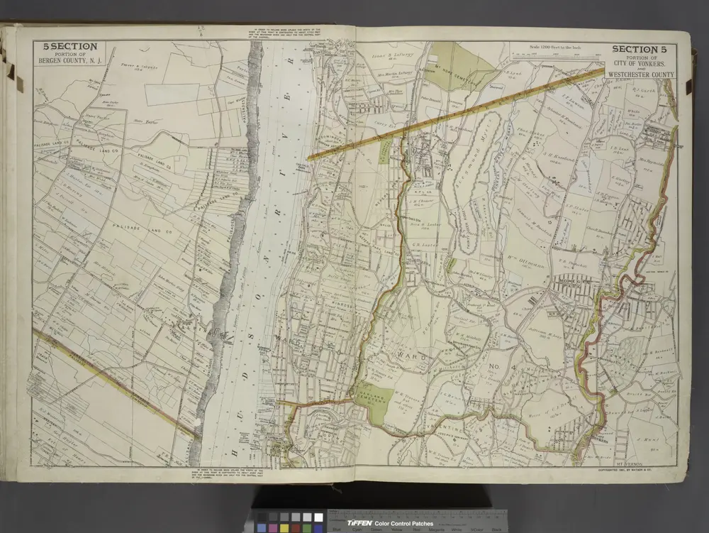
Portion of Bergen County, N.J.; Portion of City of Yonkers. And Westchester County
1891
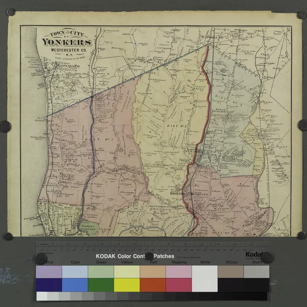
Plates 21 & 22: Town and City of Yonkers, Westchester Co. N.Y. - Town of East Chester, Westchester Co. N.Y.
1872
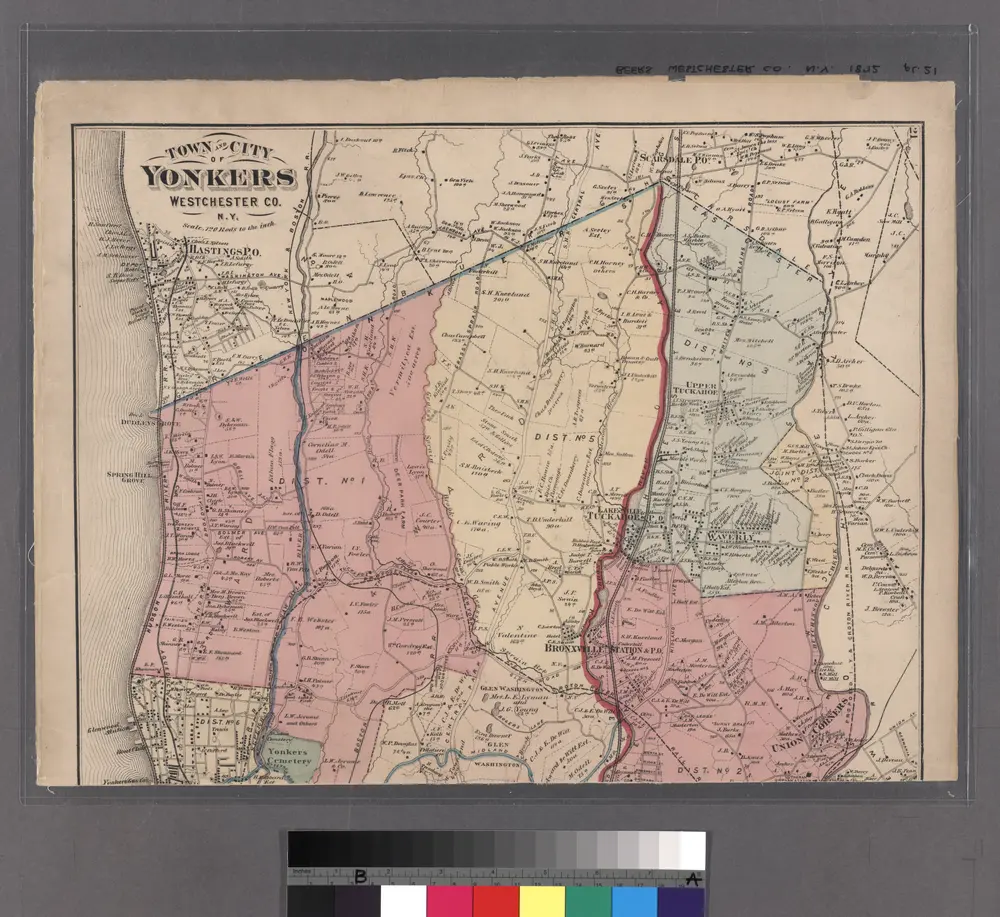
Plates 21 & 22: Town and City of Yonkers, Westchester Co. N.Y. - Town of East Chester, Westchester Co. N.Y.
1872
Large folder - L1
1868

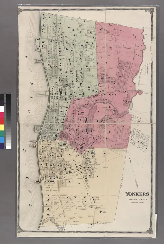
Plate 24: Northern part of Town of Yonkers, adjacent to the River.
1868
Large folder - L1
1868
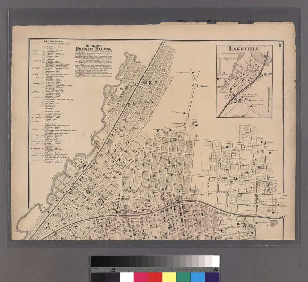
Lakeville - Washingtonville - East Chester.
1872
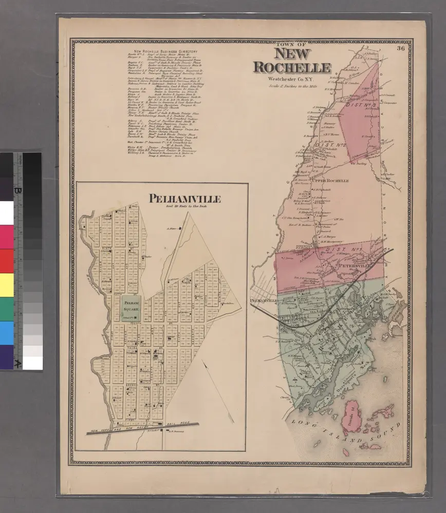
Plate 36: Town of New Rochelle, Westchester Co. N.Y.
1868