Cataloged map
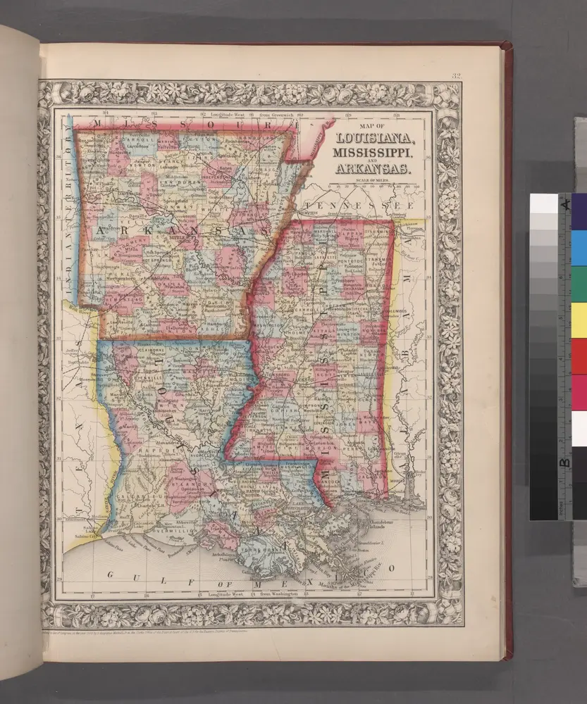
Map of Louisiana, Mississippi, and Arkansas.
Full title:Map of Louisiana, Mississippi, and Arkansas.
Depicted:1860

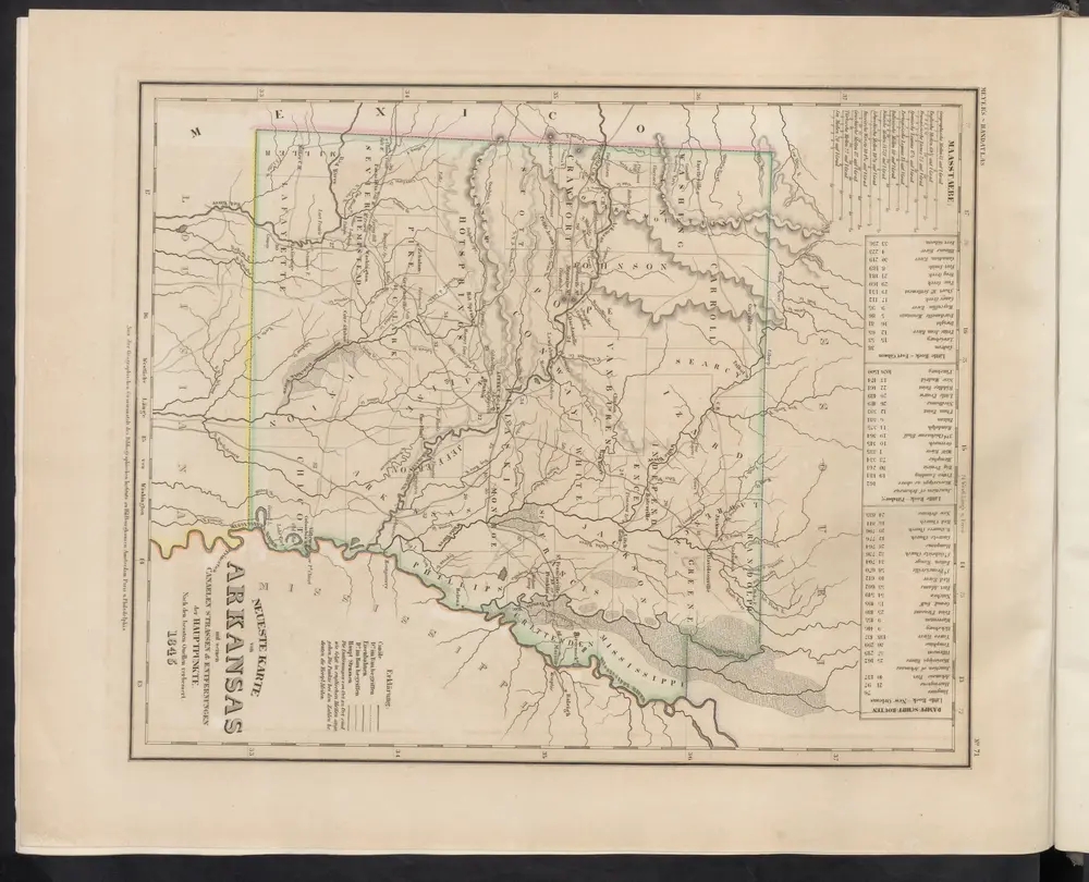
Neueste Karte von Arkansas mit seinen Canaelen Strassen & Entfernungen der Hauptpunkte
1860
Meyer, J.

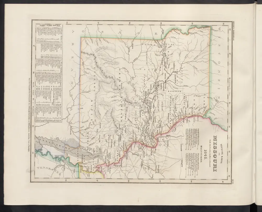
Neueste Karte von Missouri
1860
Meyer, J.
Map of the south western part of the United States
1864
Virtue, Yorston & Co.
1:5m
A New map of the province of Maryland in North America
1780
Hinton, John
1:1m
Helena
1960
1:250k
Helena
1955
1:250k
Helena
1955
1:250k
Helena
1948
1:250k
Little Rock
1964
1:250k
Little Rock
1955
1:250k


