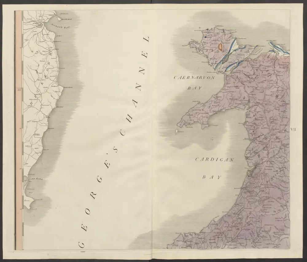
Cataloged map
delineation of the strata of England and Wales, with part of Scotland

Institution:ETH-Bibliothek
Full title:delineation of the strata of England and Wales, with part of Scotland
Depicted:1815
Pubdate:1815
Publisher:Cary
Map scale:1:320 000
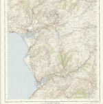
Dolgelley - OS One-Inch Map
1948
Ordnance Survey
1:63k
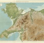
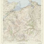
North Wales, Sheet 11 - Bartholomew's "Half Inch to the Mile Maps" of England & Wales
1904
Bartholomew, John George
1:127k
Comitatvs Caernarvoniensis; vernacule Carnarvon-Shire. et Mona insvla vulgo Anglesey
1646
Blaeu
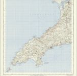
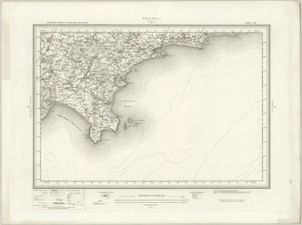
Pwllheli - OS One-Inch Map
1948
Ordnance Survey
1:63k
Snowdon - OS One-Inch Map
1948
Ordnance Survey
1:63k
Montgomeria comitatus et comitatus Mervinia
1646
Blaeu
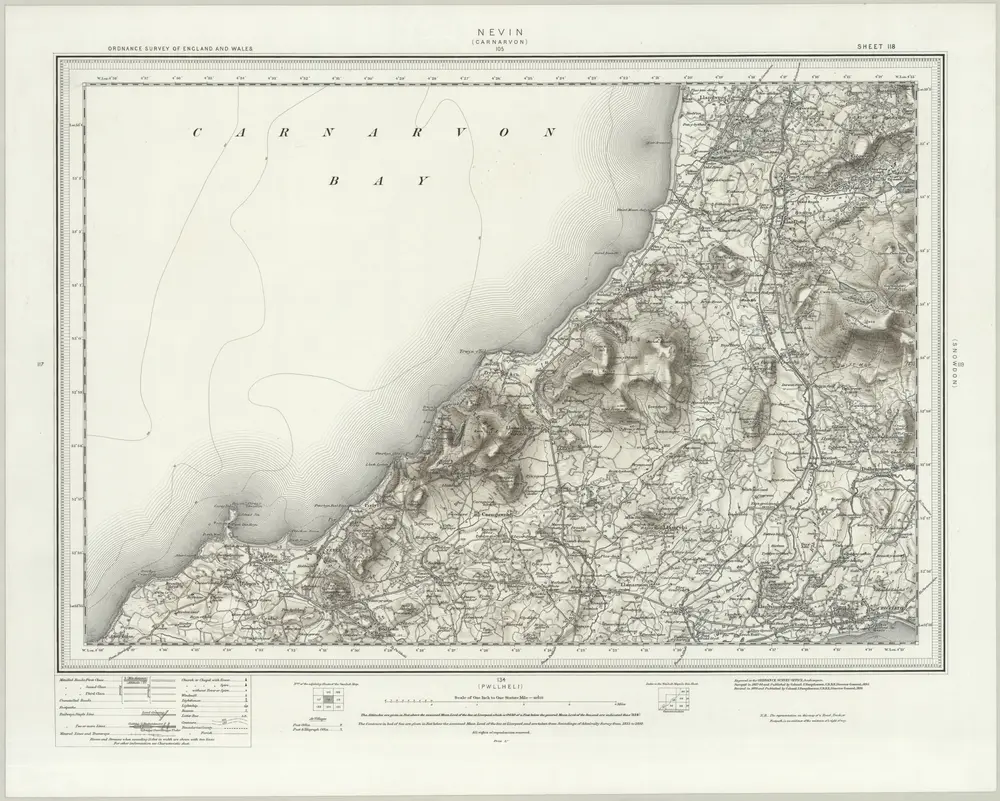
Nevin (Hills) - OS One-Inch Revised New Series
1898
Ordnance Survey
1:63k
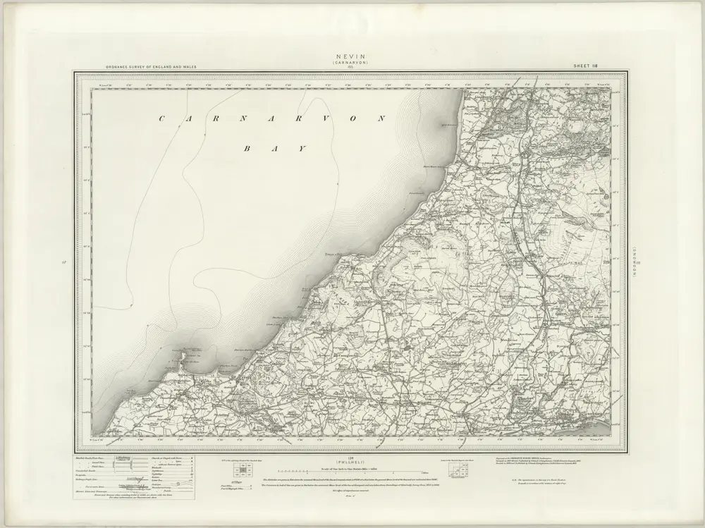
Nevin (Outline) - OS One-Inch Revised New Series
1898
Ordnance Survey
1:63k
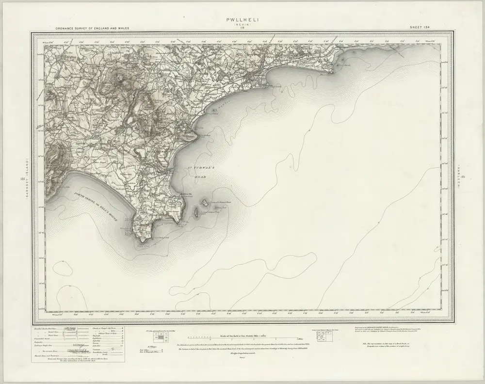
Pwllheli (Hills) - OS One-Inch Revised New Series
1898
Ordnance Survey
1:63k
Pwllheli (Outline) - OS One-Inch Revised New Series
1898
Ordnance Survey
1:63k