Progetto
Comunità
Notizie
La mia app
Le mie mappe
Katalogisierte Karte
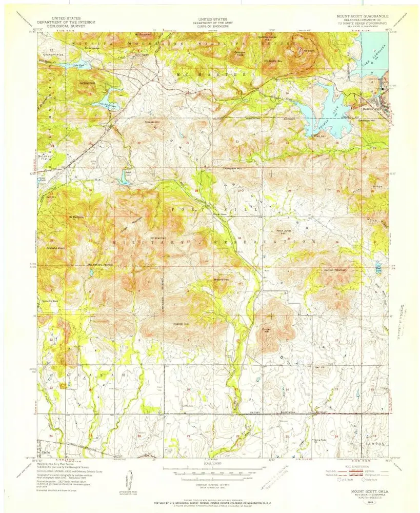
Mount Scott
Visualizza sul sito web esterno
Visualizza digitalizzato
Einrichtung:
United States Geological Survey
Vollständiger Titel:
Mount Scott
Jahr der Abbildung:
1949
Veröffentlichungsdatum:
1952
Maßstab der Karte:
1:24 000
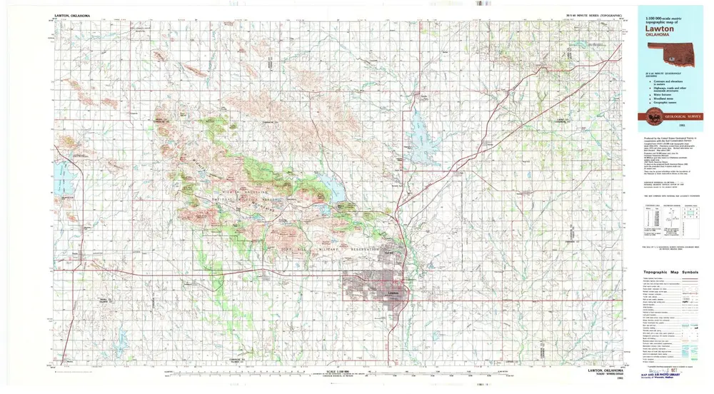
Lawton
1981
1:100k
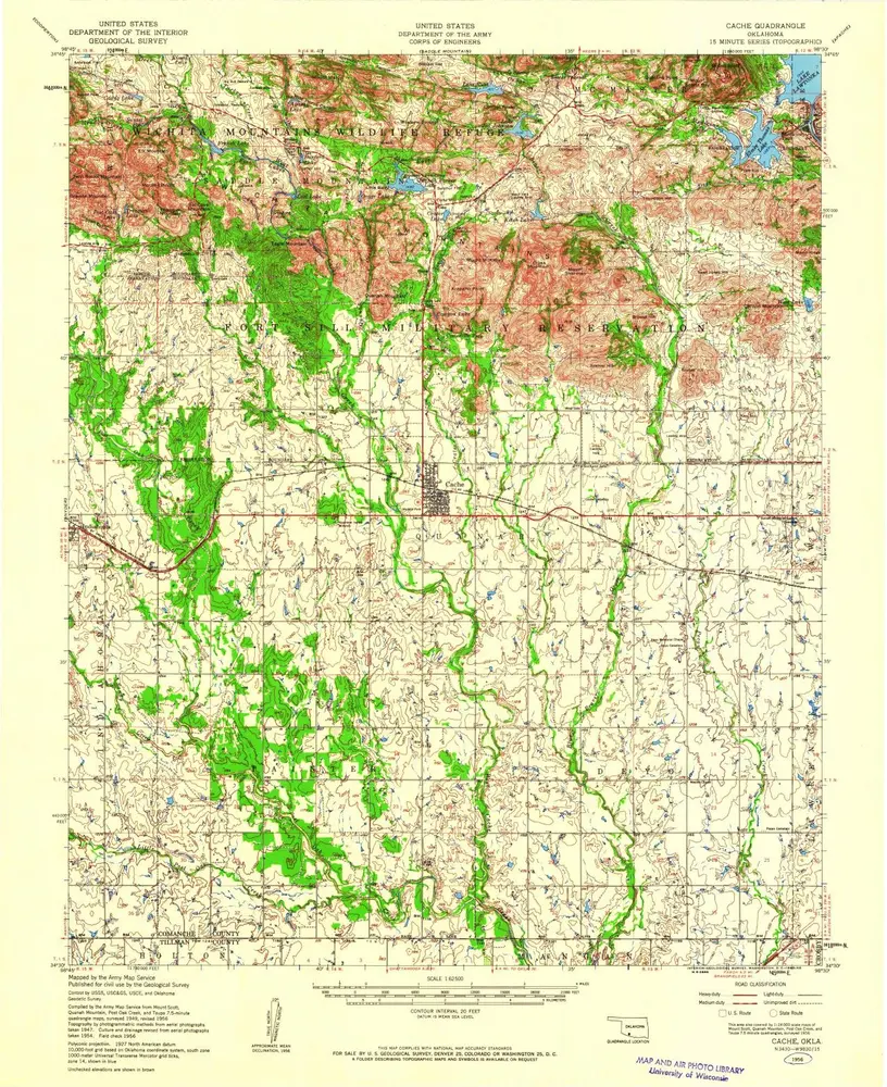
Cache
1956
1:63k
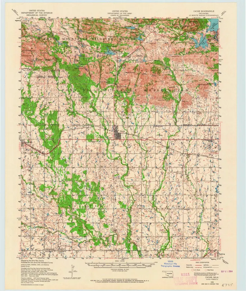
Cache
1956
1:63k
Cache
1956
1:63k
Lawton
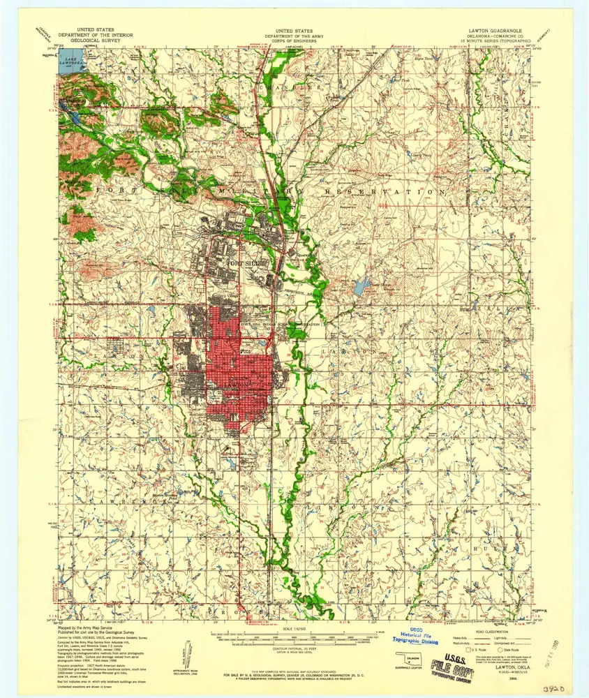
1956
1:63k
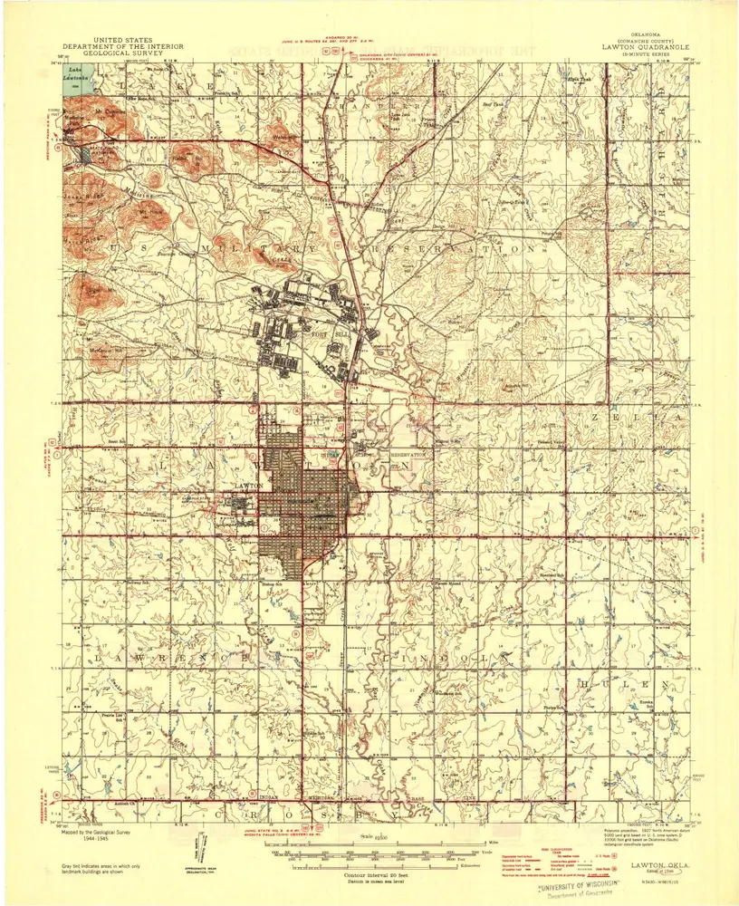
Lawton
1946
1:63k
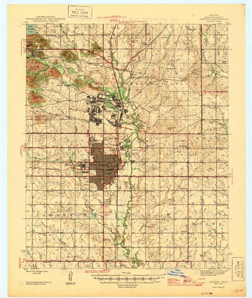
Lawton
1946
1:63k
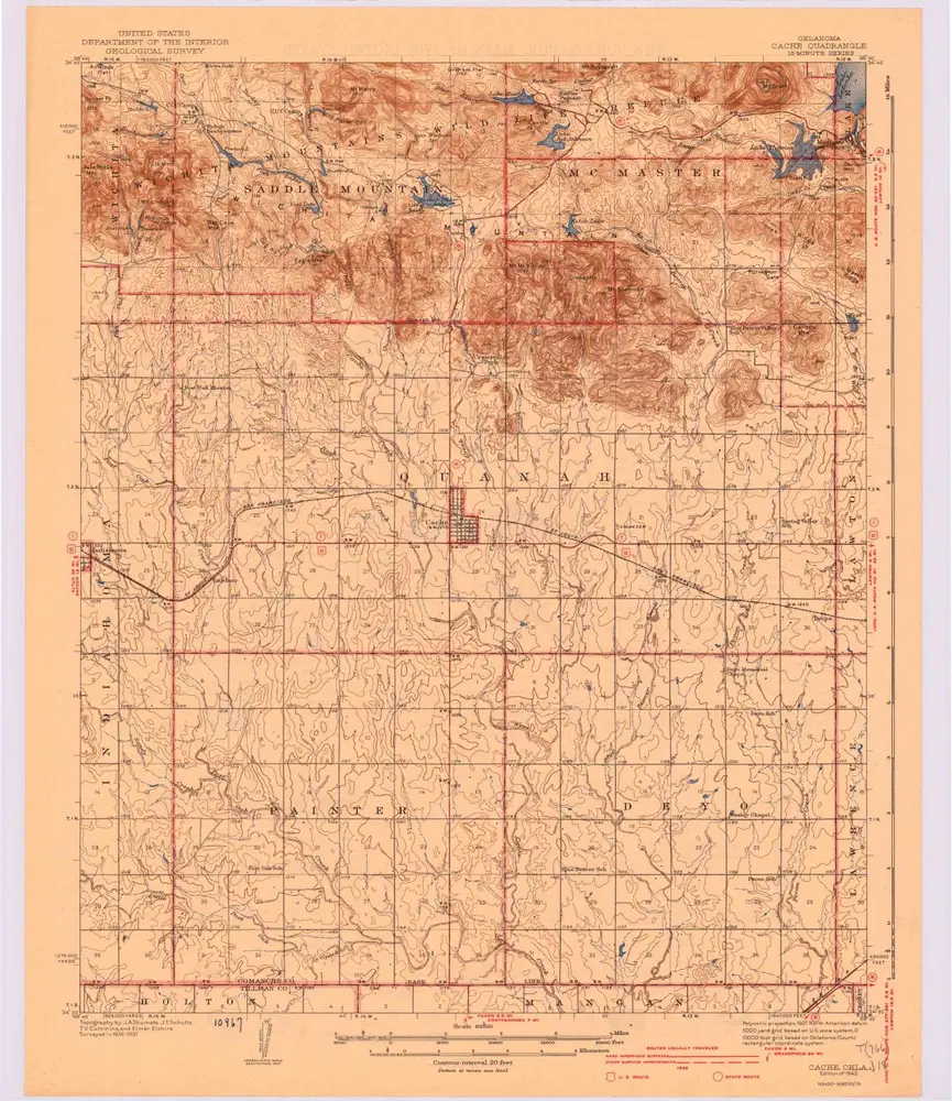
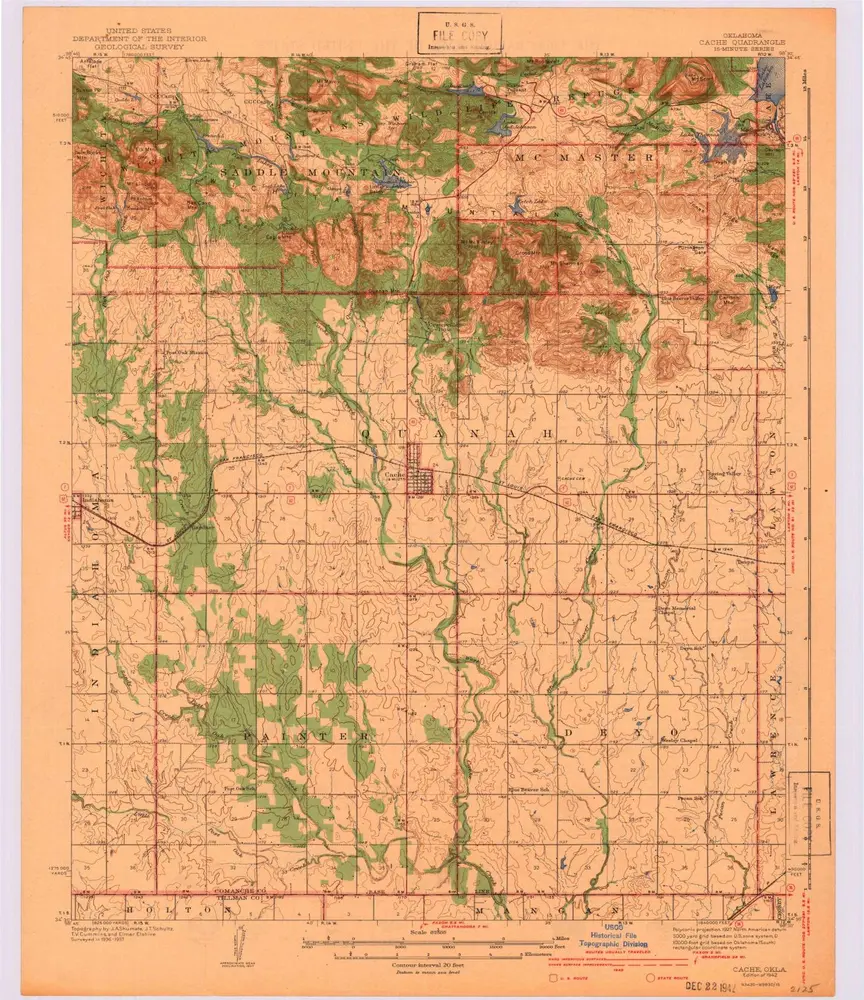
Cache
1942
1:63k
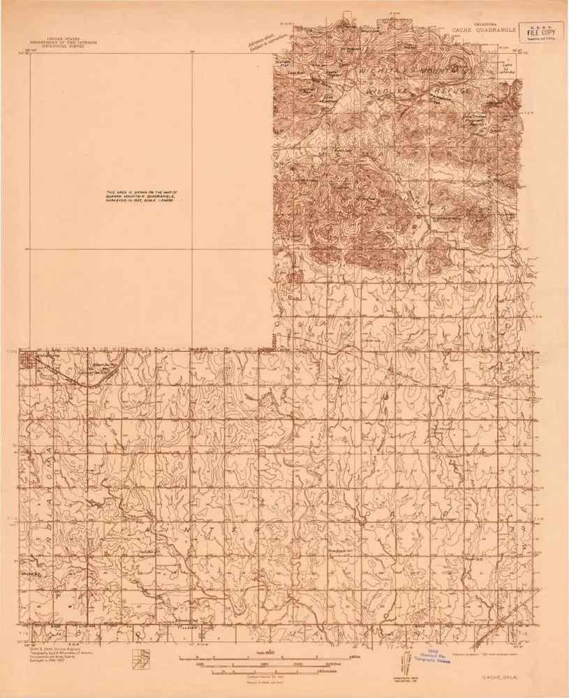
Cache
1942
1:63k
Cache
1937
1:48k
Geschichte