Progetto
Comunità
Notizie
La mia app
Le mie mappe
Katalogisierte Karte
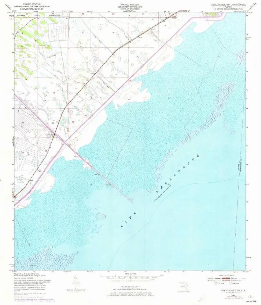
Okeechobee SW
Visualizza sul sito web esterno
Visualizza digitalizzato
Einrichtung:
United States Geological Survey
Vollständiger Titel:
Okeechobee SW
Jahr der Abbildung:
1953
Veröffentlichungsdatum:
1973
Maßstab der Karte:
1:24 000
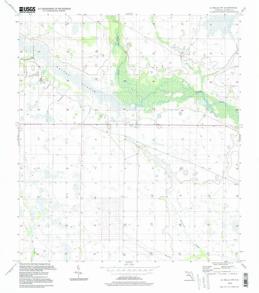
La Belle NW
1994
1:24k
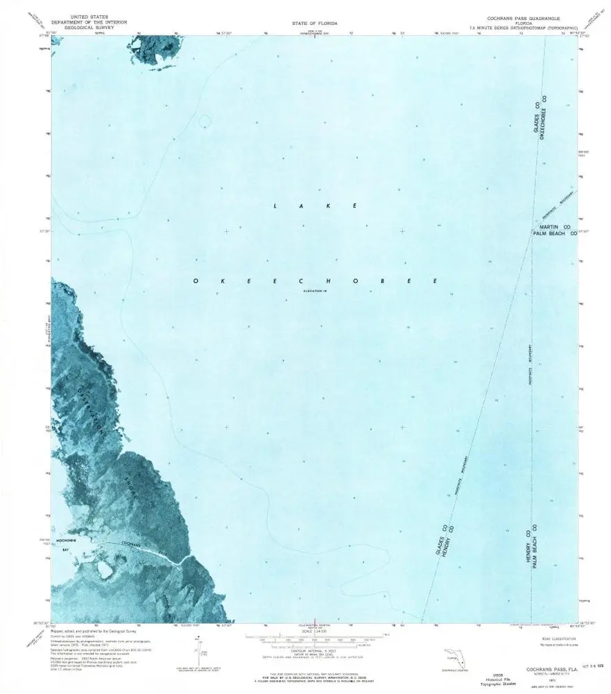
Cochrans Pass
1971
1:24k
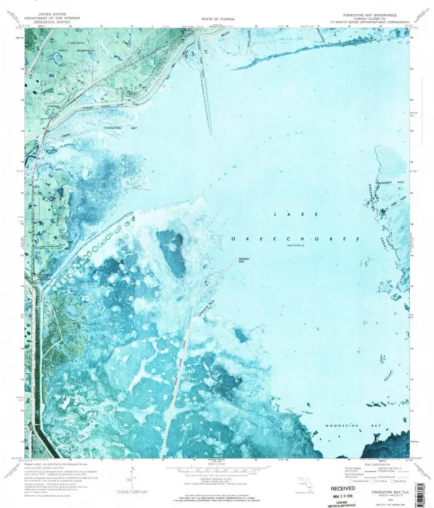
Fisheating Bay
1971
1:24k
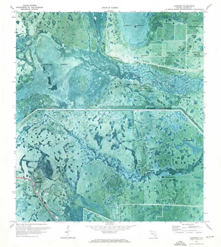
Lakeport
1970
1:24k
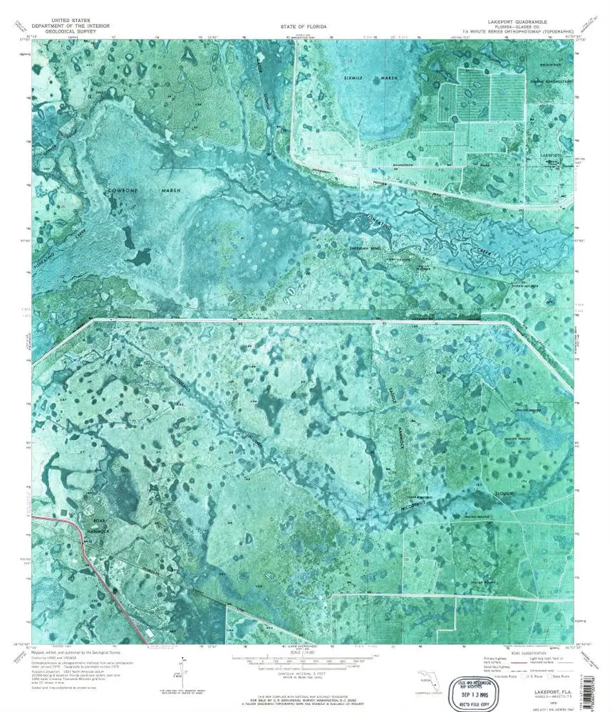
Lakeport
1970
1:24k
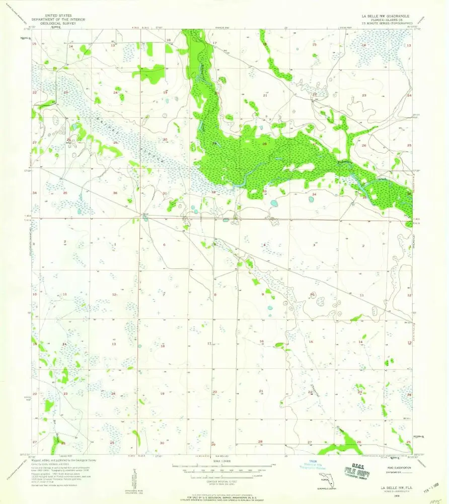
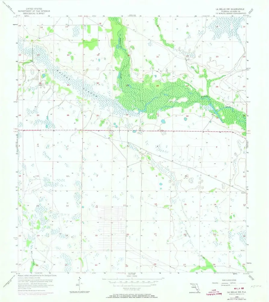
La Belle NW
1958
1:24k
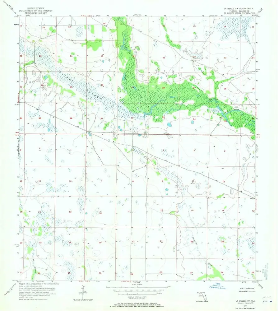
La Belle NW
1958
1:24k
La Belle NW
1958
1:24k
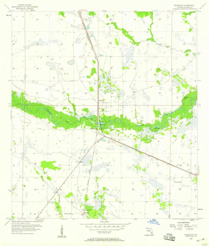
Palmdale
1958
1:24k
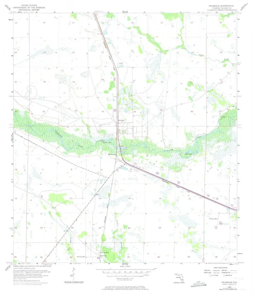
Palmdale
1958
1:24k
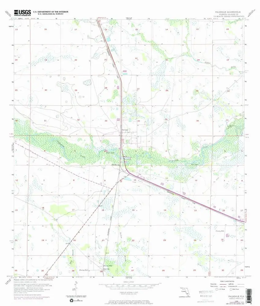
Palmdale
1958
1:24k
Geschichte