Progetto
Comunità
Notizie
La mia app
Le mie mappe
Cataloged map
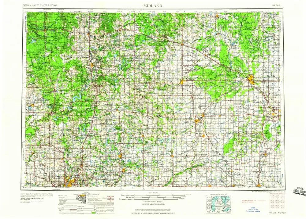
Midland
Visualizza sul sito web esterno
Visualizza digitalizzato
Institution:
United States Geological Survey
Full title:
Midland
Depicted:
1959
Map scale:
1:250 000
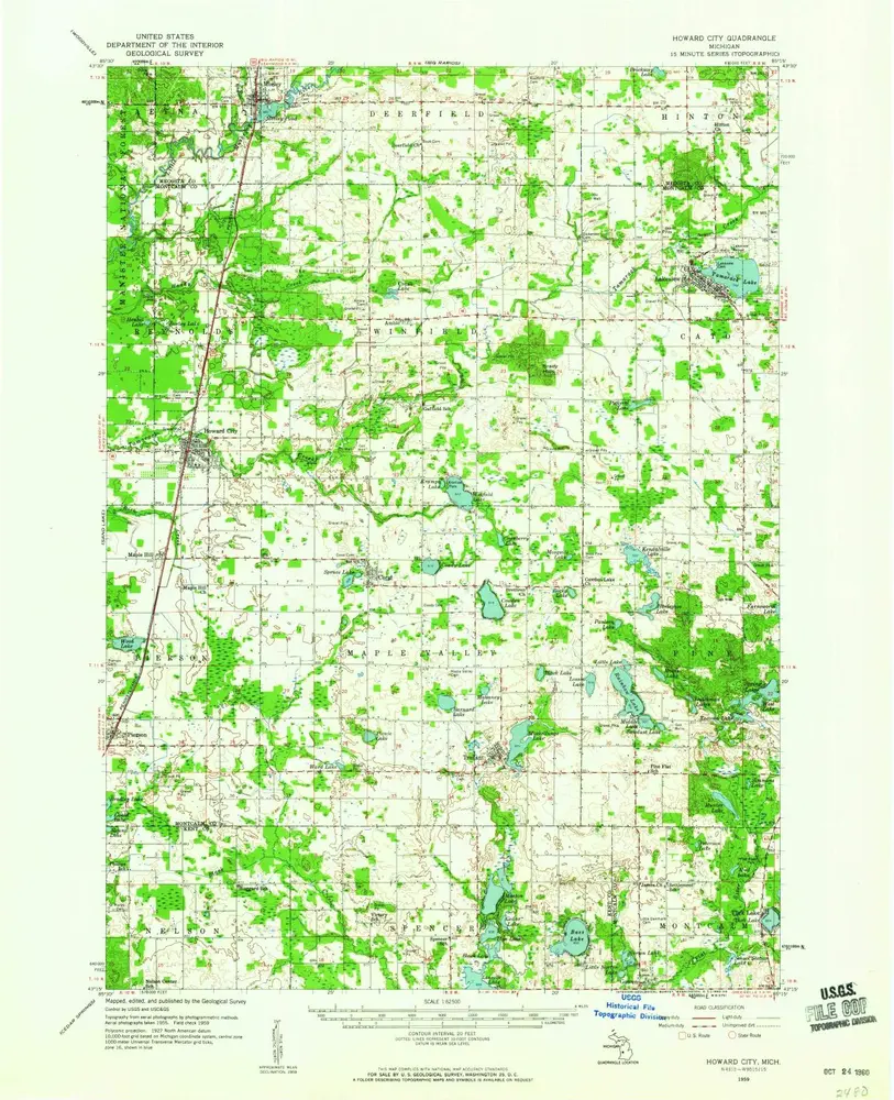
Howard City
1959
1:63k
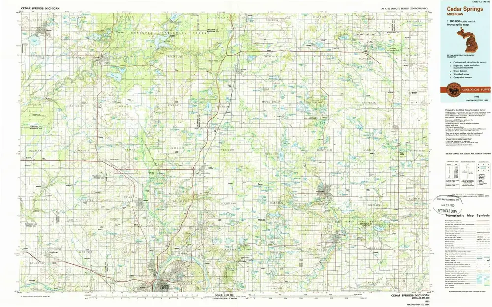
Cedar Springs
1986
1:100k
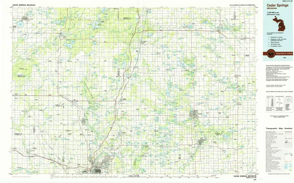
Cedar Springs
1985
1:100k
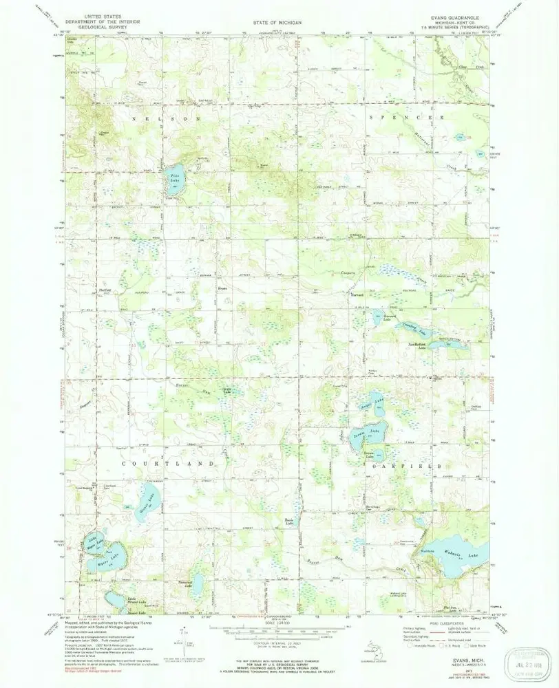
Evans
1972
1:24k
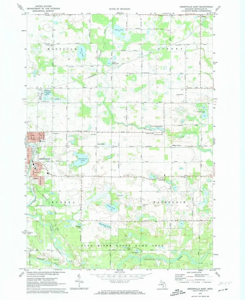
Greenville East
1972
1:24k
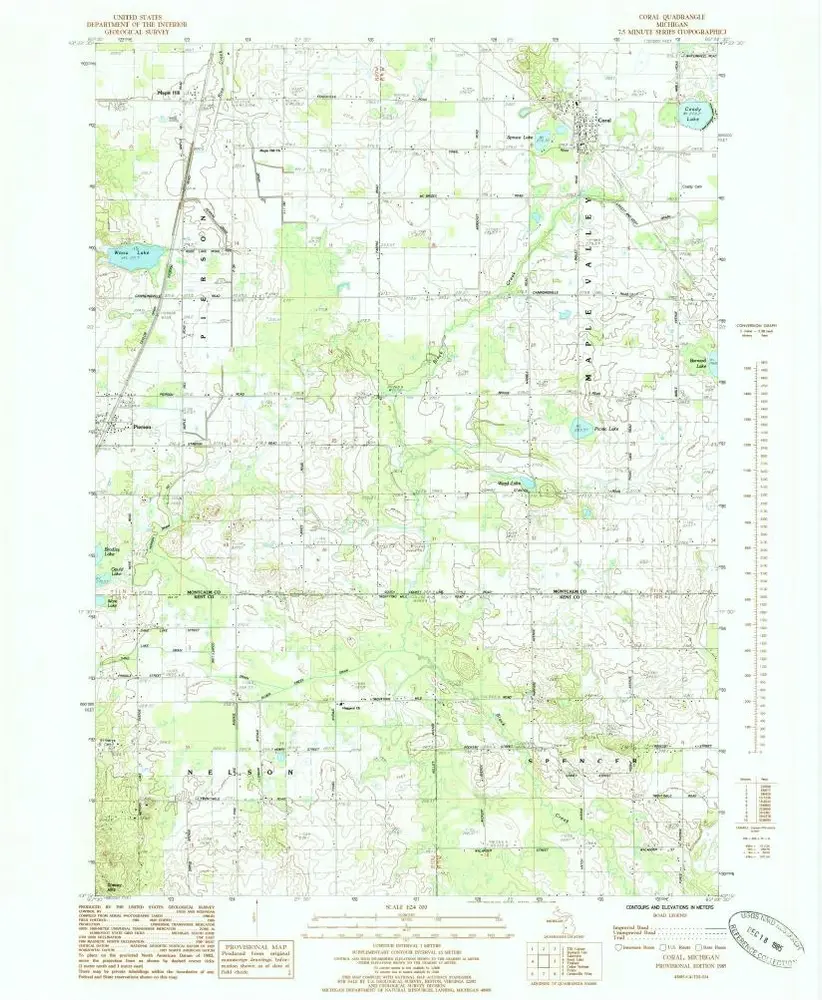
Coral
1985
1:24k
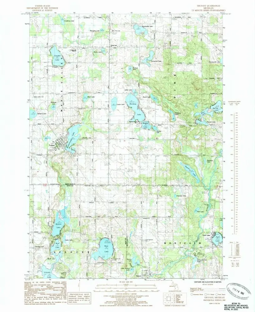
Trufant
1985
1:24k
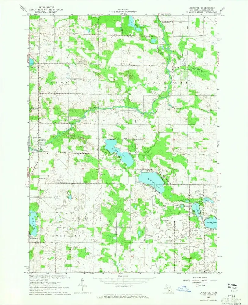
Langston
1964
1:24k
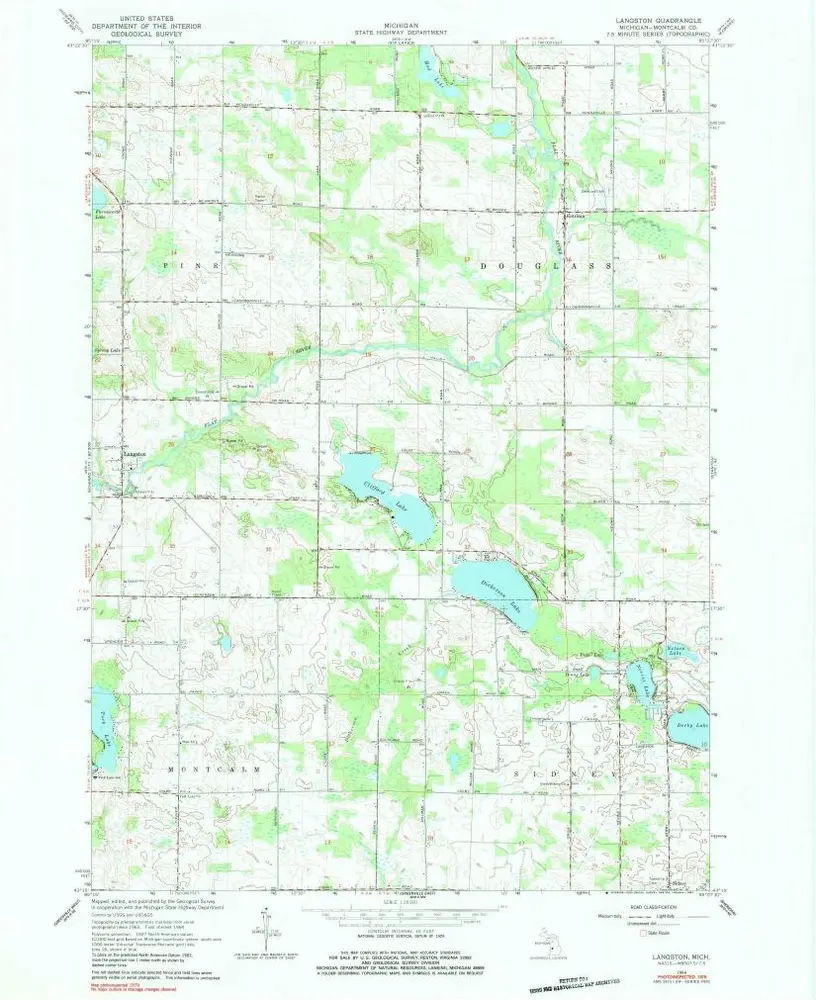
Langston
1964
1:24k
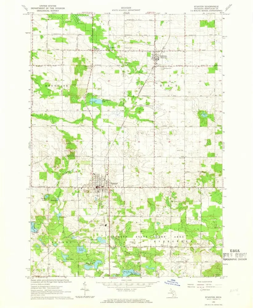
Stanton
1964
1:24k
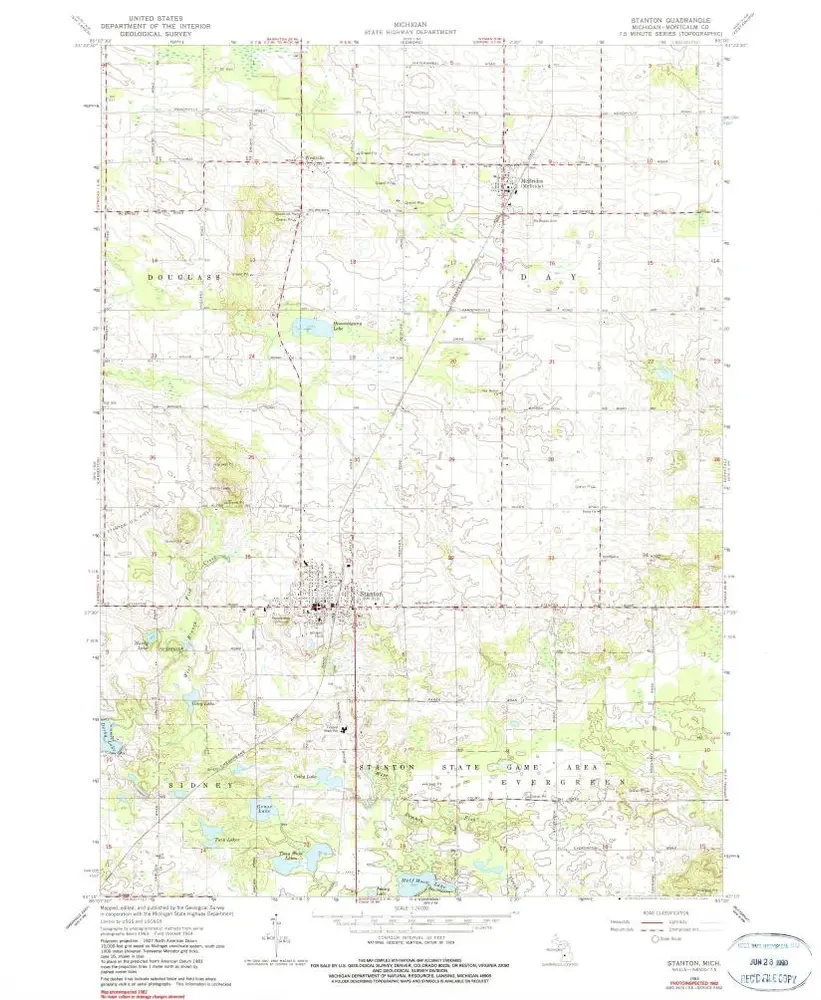
Stanton
1964
1:24k
History