Mappe di Sand, Hungary
 1870|C. Albrecht
 1873|Militärgeographisches Institut1:300 000
 1828|Hermann, O.1:200 000
 1841|Vizer, Stephan1:240 000
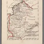 1828|Hermann, O.1:200 000
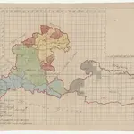 1860
1860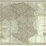 1851|Schulz, R. A.1:390 000
Vecchie mappe di Sand, Hungary
Scoprite il passato di Sand, Hungary sulle mappe storiche
Vecchie mappe di Sand, Hungary
Scoprite il passato di Sand, Hungary sulle mappe storiche
Alla ricerca di un Alternativa all'API di Google Maps?