Progetto
Comunità
Notizie
La mia app
Le mie mappe
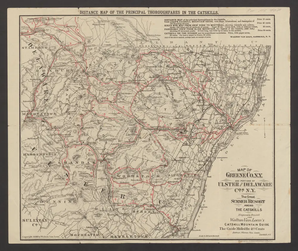
Distance map of the principal thoroughfares in the Catskills : Map of Greene co. N. Y. and portions of Ulster and Delaware cos. N.Y.
1886
Catskill : Walton van Loan Walton van Loan
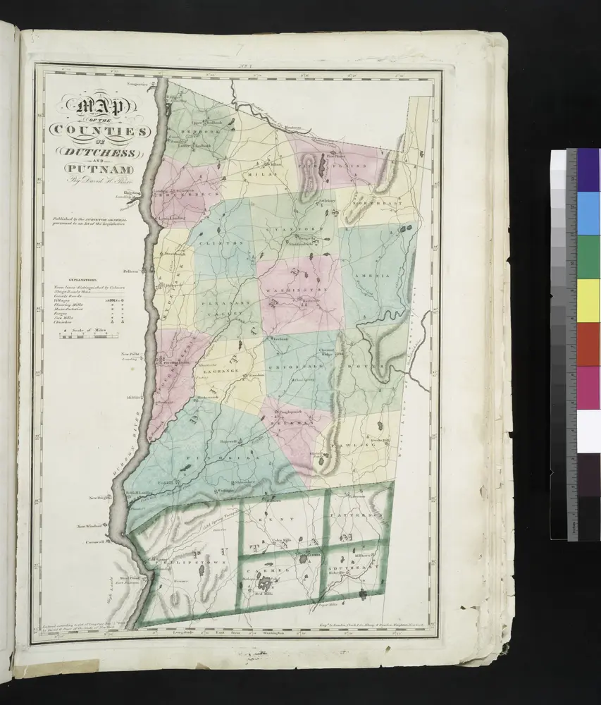
Map of the counties of Dutchess and Putnam / by David H. Burr ; engd. by Rawdon, Clark & Co., Albany, & Rawdon, Wright & Co., New York.
1829
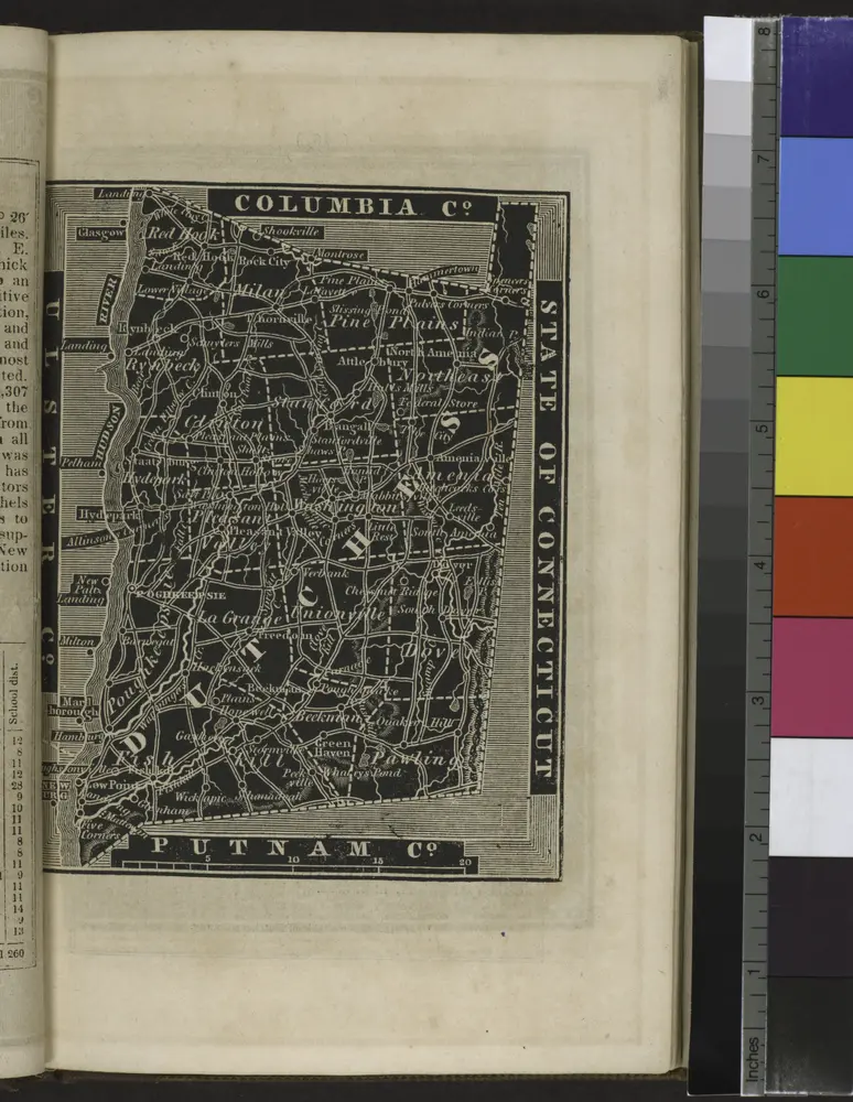
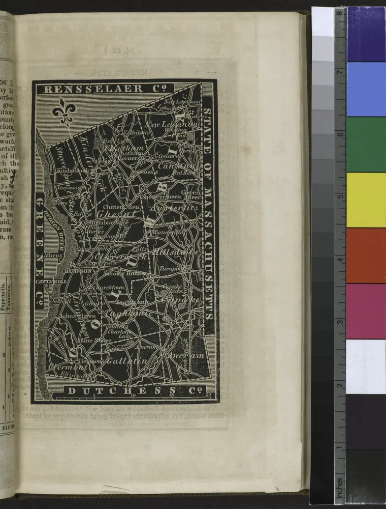
[Dutchess County].
1838
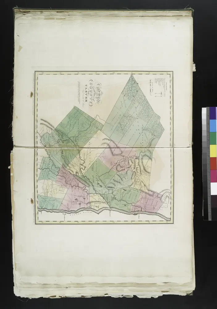
Map of the county of Ulster / by David H. Burr ; engd. by Rawdon, Clark & Co., Albany, & Rawdon, Wright & Co., New York.
1829
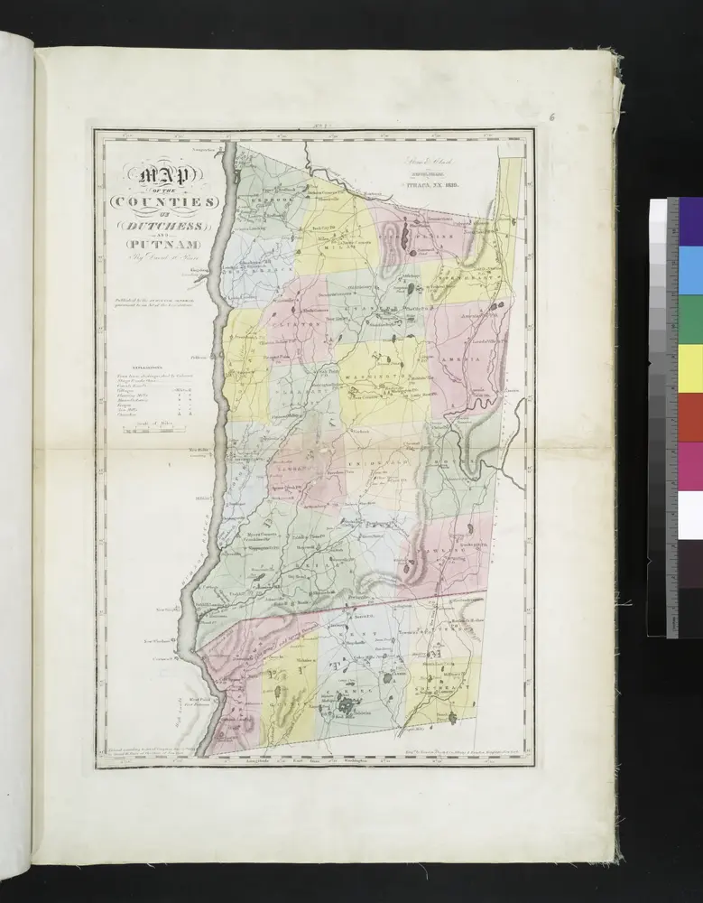
Map of the counties of Dutchess and Putnam / by David H. Burr ; engd. by Rawdon, Clark & Co., Albany, & Rawdon, Wright & Co., New York.
1829
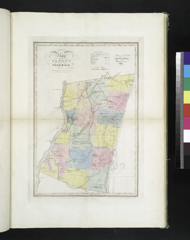
Map of the county of Columbia / by David H. Burr ; engd. by Rawdon, Clark & Co., Albany, & Rawdon, Wright & Co., New York.
1829
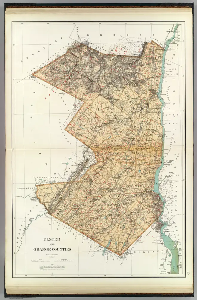
Ulster, Orange counties.
1895
Bien, Joseph Rudolf
1:158k
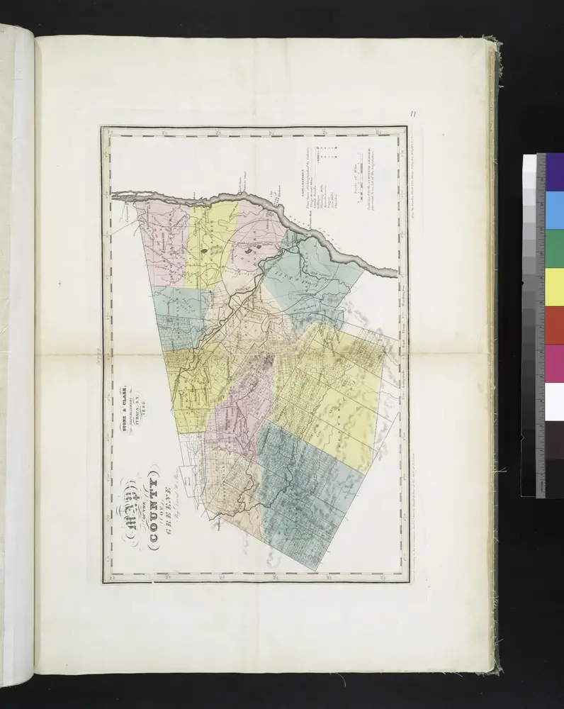
Map of the county of Greene / by David H. Burr ; engd. by Rawdon, Clark & Co., Albany, & Rawdon, Wright & Co., New York.
1829
[Columbia County].
1838
Map of the county of Ulster / by David H. Burr ; engd. by Rawdon, Clark & Co., Albany, & Rawdon, Wright & Co., New York.
1829
Geschiedenis
Vecchie mappe di Rosendale Village
Scoprite il passato di Rosendale Village sulle mappe storiche
Vecchie mappe di Rosendale Village
Scoprite il passato di Rosendale Village sulle mappe storiche
Esplorare le mappe
Scoprire la storia
Regione madre
Contea di Ulster
Luoghi correlati