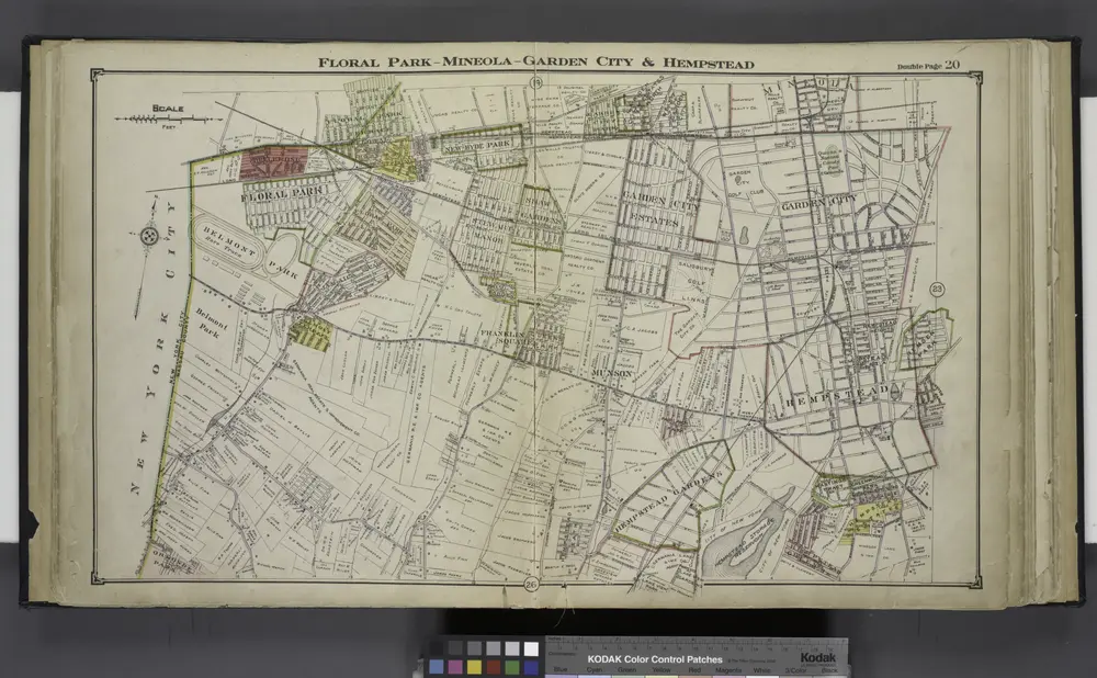

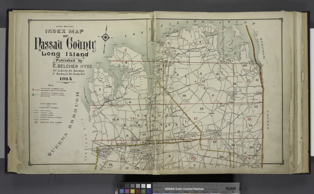
Vecchie mappe di Manhasset Hills, New York
Scoprite il passato di Manhasset Hills, New York sulle mappe storiche
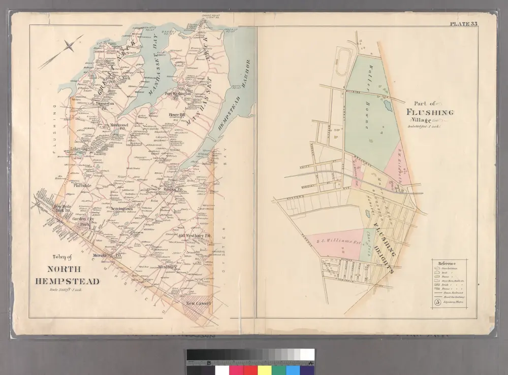
Vecchie mappe di Manhasset Hills, New York
Scoprite il passato di Manhasset Hills, New York sulle mappe storiche
Alla ricerca di un Alternativa all'API di Google Maps?