

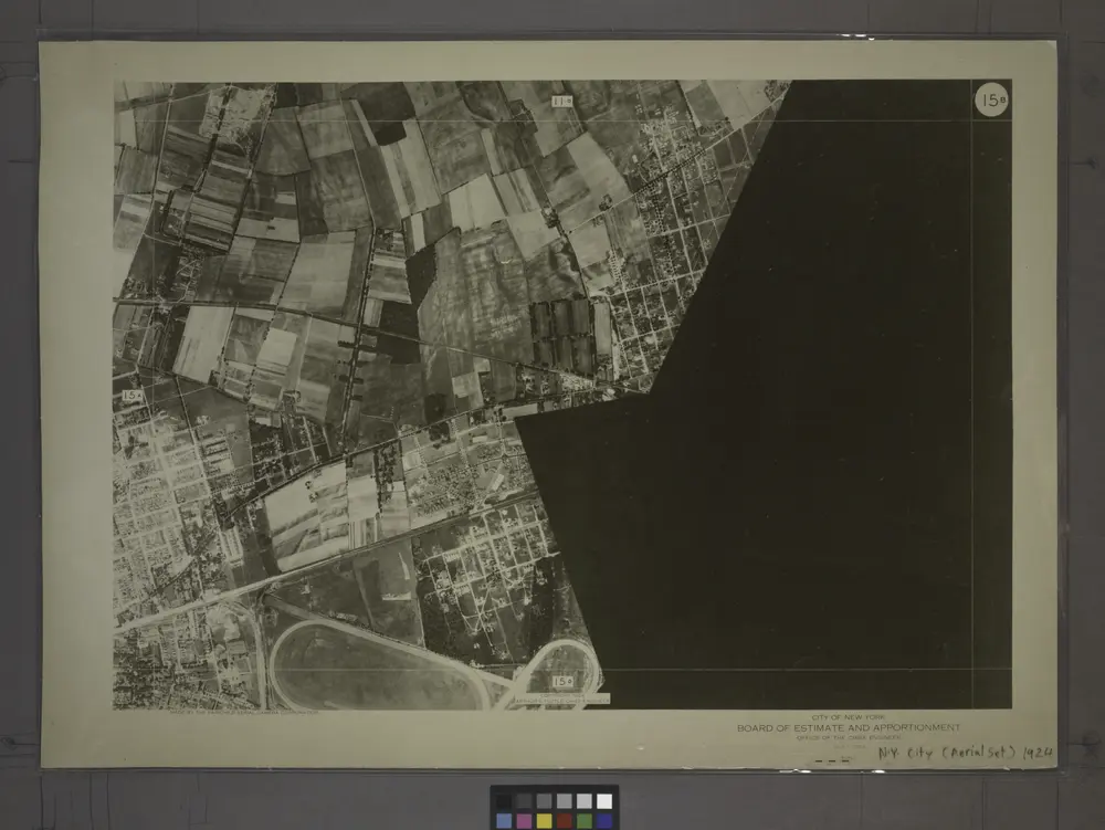
15B - N.Y. City (Aerial Set).
1924
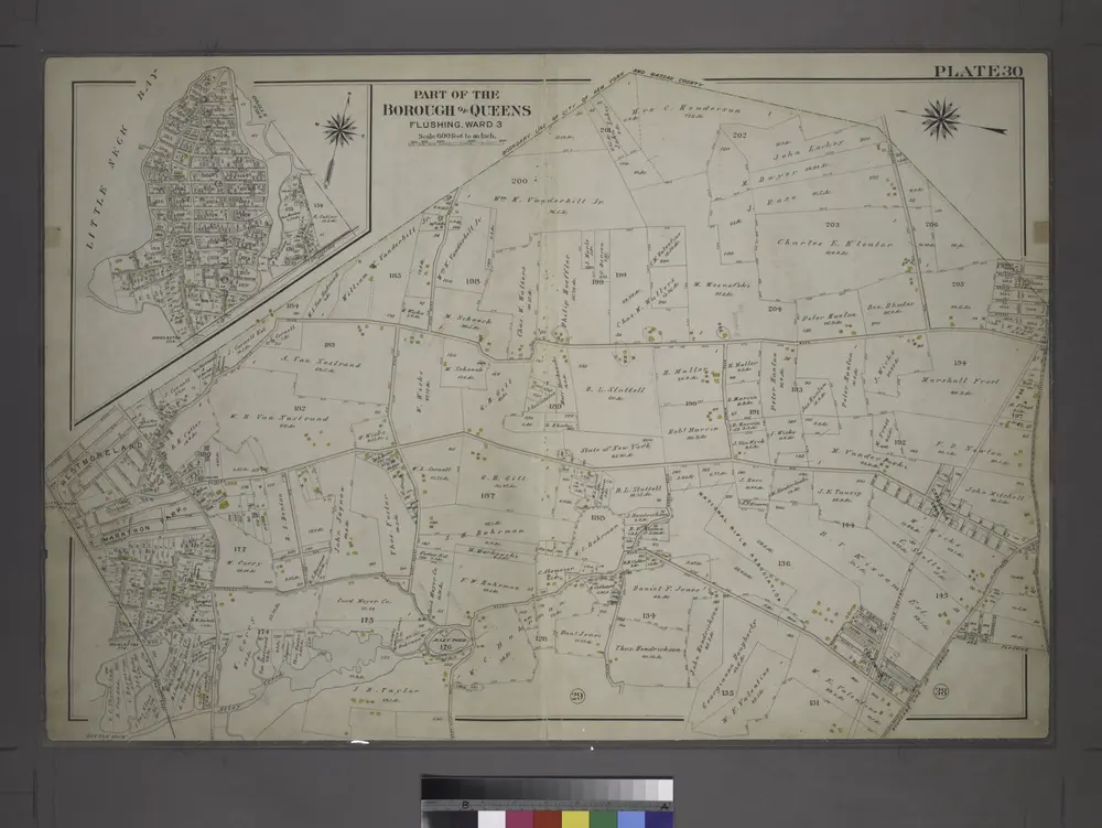
[Plate 30: Bounded by Nassau Road, Broadway, Clinton Avenue, East Alley Road, Little Neck Road, Jericho Turnpike, Rocky Hill Road, Alley Road and Broadway.]
1909
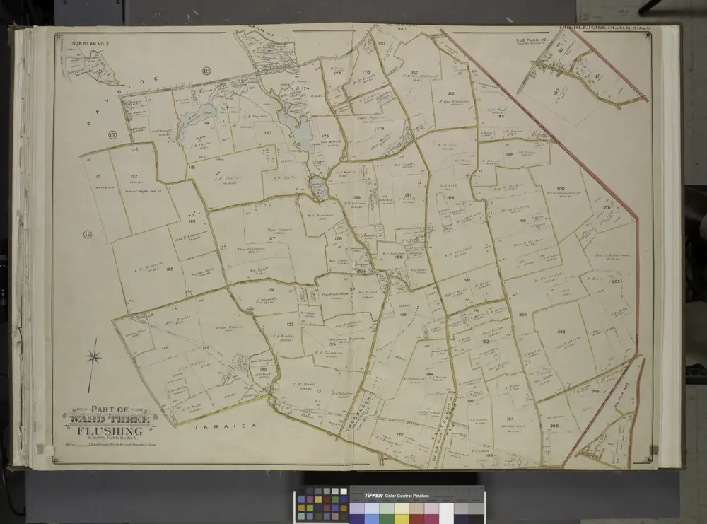
Queens, Vol. 3, Double Page Plate No. 20; Part of ward Three Sub Plan No. 1; [Map bounded by Broadway, Little Neck Road, West end Drive, Lakeville Road]; Part of ward Three Sub Plan No. 2; [Map bounded by Little Neck Bay]; Part of ward Thre
1913
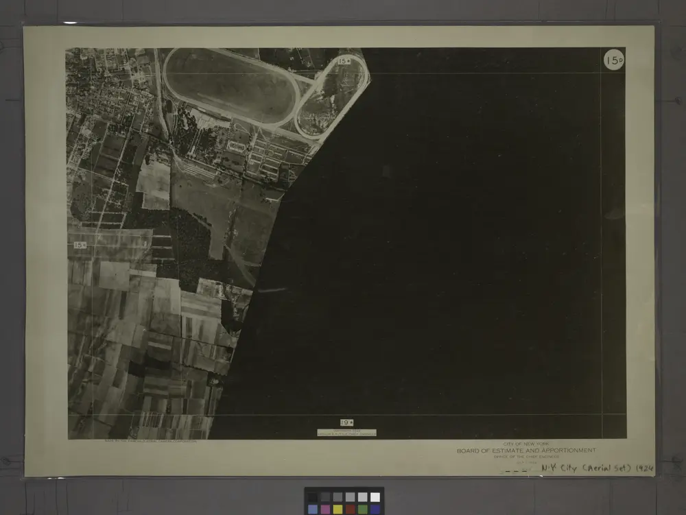
15D - N.Y. City (Aerial Set).
1924
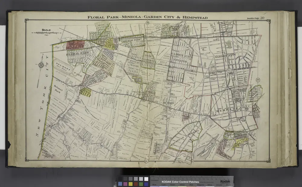
Floral Park - Mineola - Garden City & Hempstead
1914
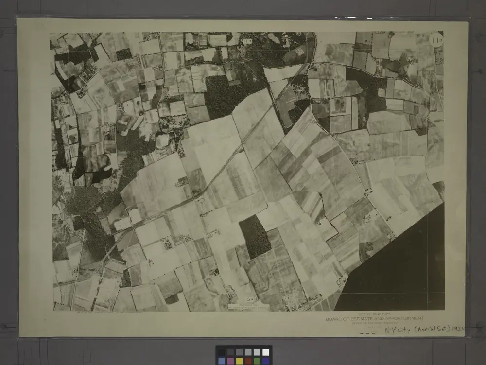
11D - N.Y. City (Aerial Set).
1924
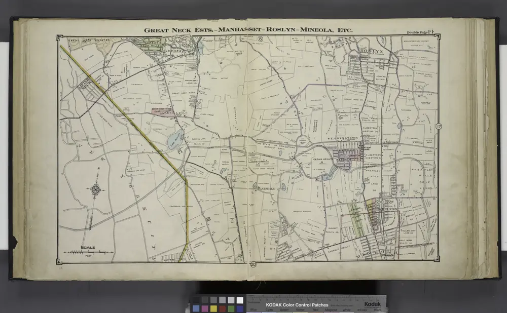
Great Neck Ests. - Manhasset - Roslyn - Mineola, Etc.
1914

Flushing, Queens Co. L.I. - Douglaston, Town of Flushing, Queens Co. - Hinsdale, Town of Flushing, Kings Co.
1873
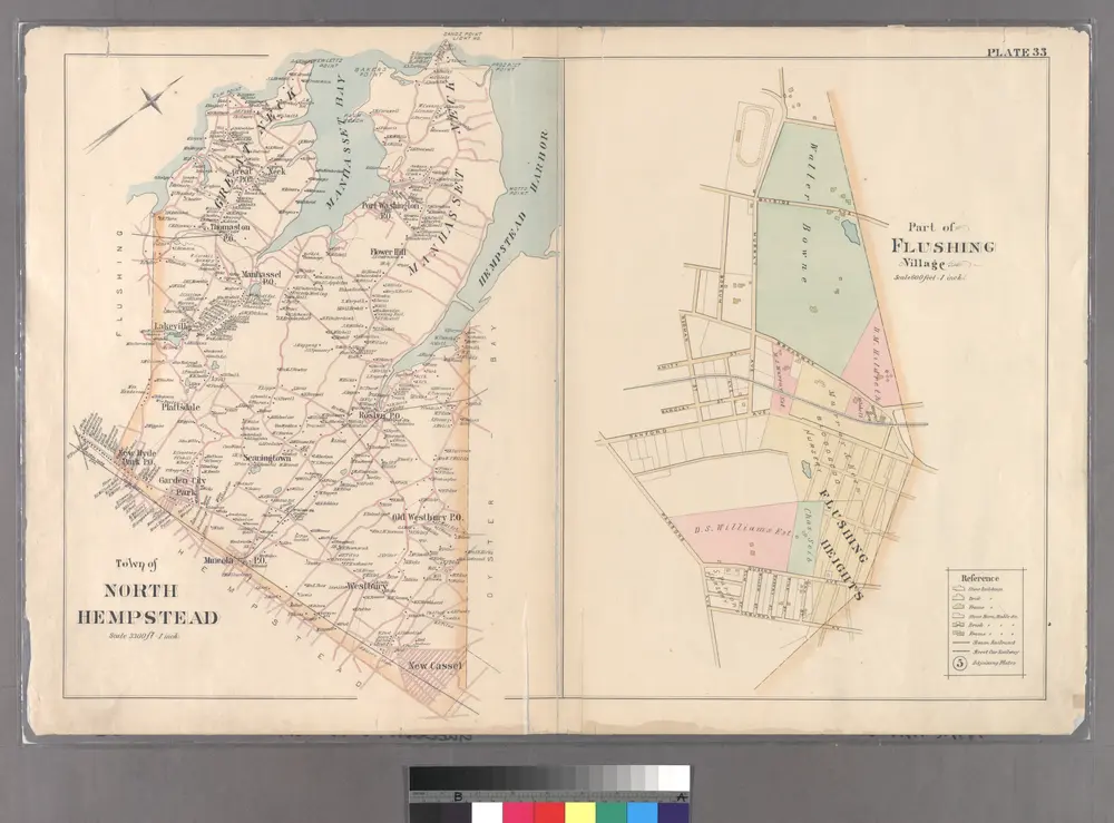
Part of Flushing Village.
1891
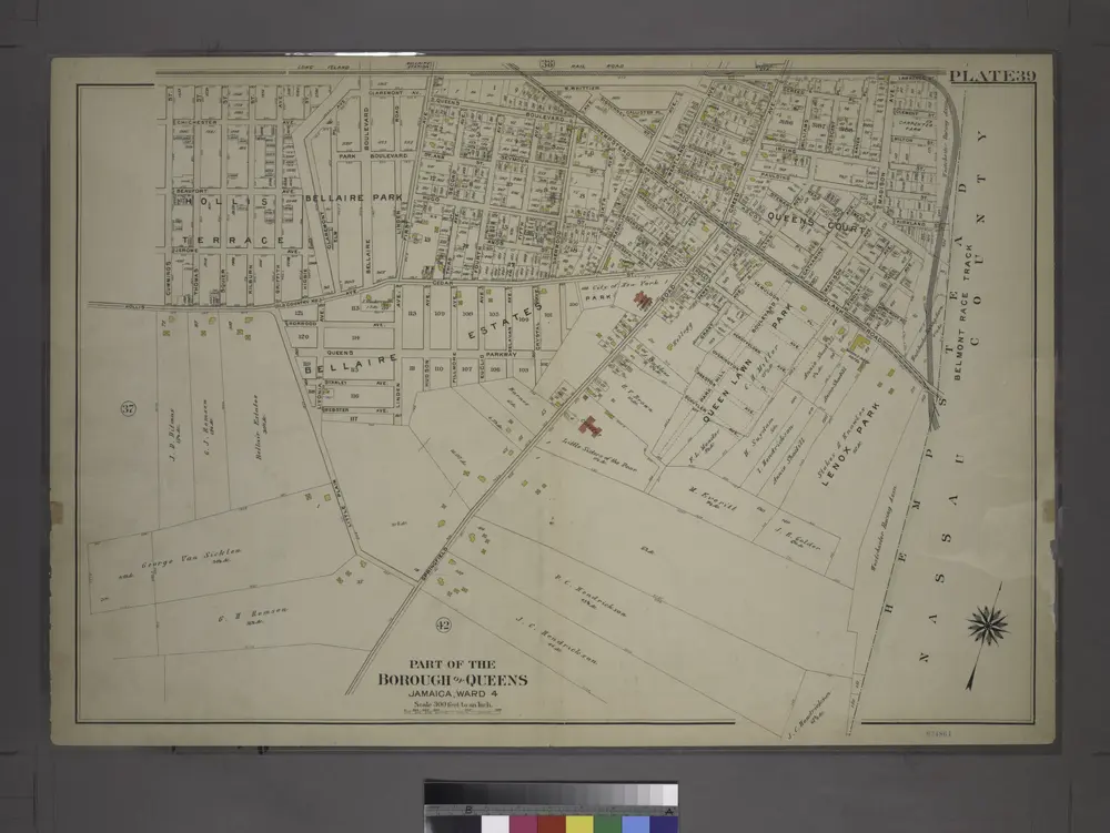
[Plate 39: Bounded by Chichester Ave., Claremont Ave., Queens Blvd., Hempstead and Jamaica Plank Rd., W. Whittier St., Wertland Ave., (Queens Court) Creed Ave., Hempstead and Jamaica Plank Rd., Springfield Rd., Little Plain, Hollis Ave. & Cummings St.]
1909

