

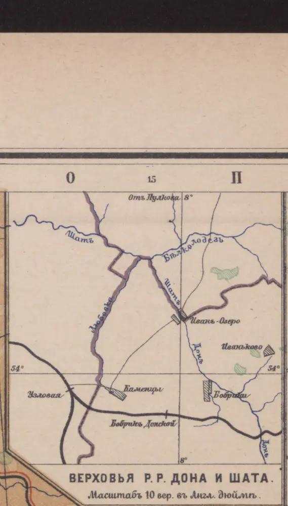
Verchov'ja r.r. Dona i Šata
1902
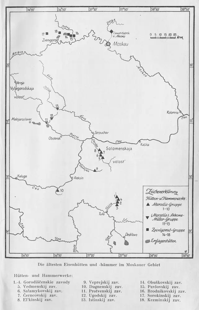
Die ältesten russischen Eisenhütten und -hämmer im Moskauer Gebiet
1957
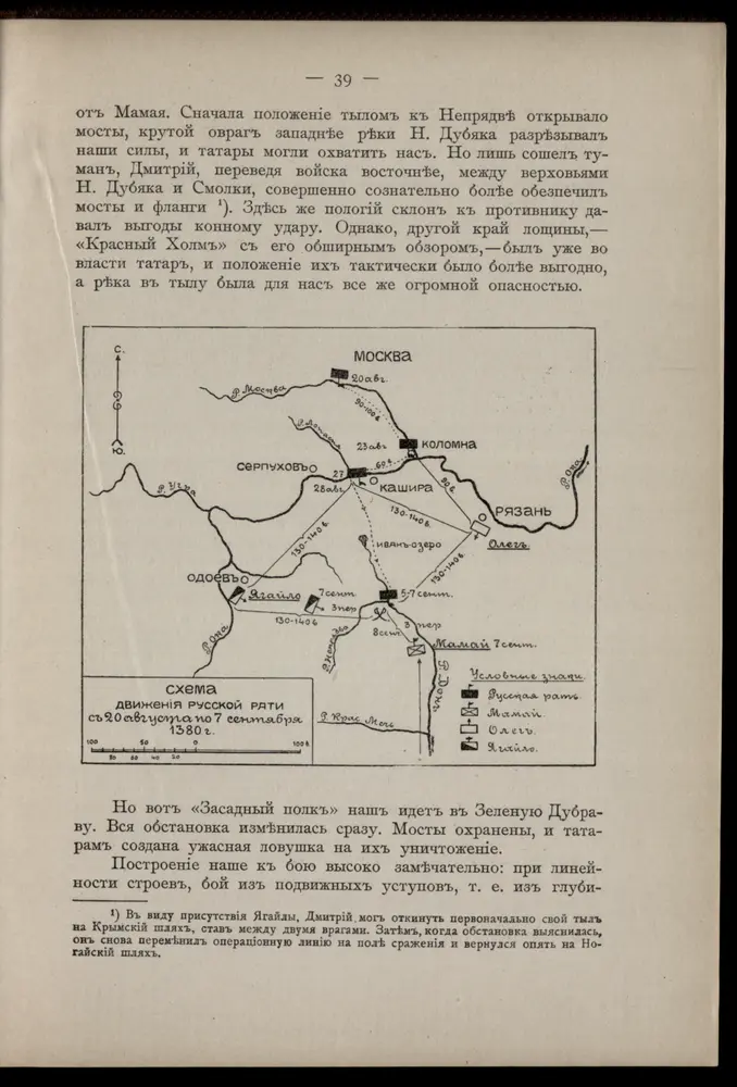
Schema dviženīja russkoj rati s 20 avgusta po 7 sentjabrja 1380 g.
1380
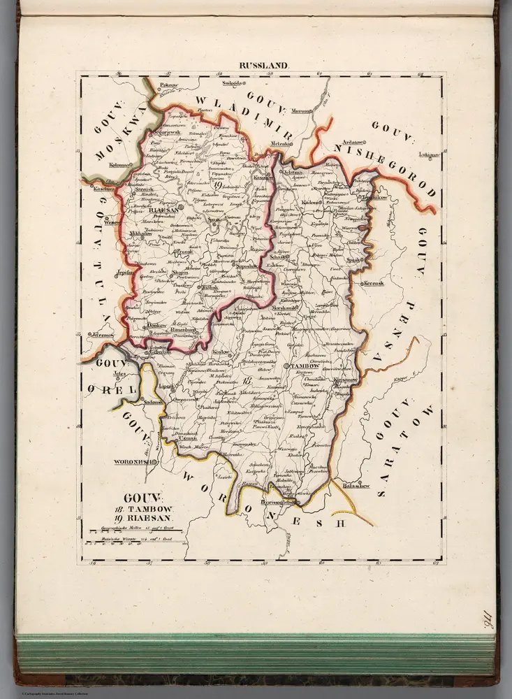
V.3:11-15:XIII. Russland. Gouv: 18. Tambow. 19. Riaesan
1829
Hermann, O.
1:500k
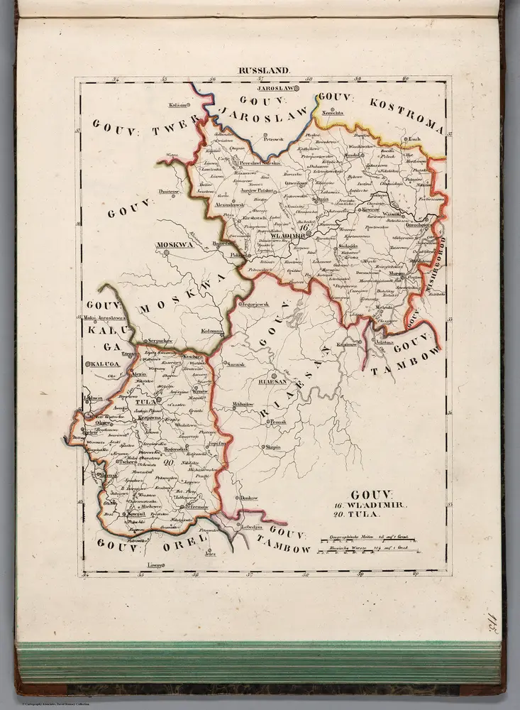
V.3:11-15:XIII. Russland. Gouv: 16.Wlandimir. 20. Tula
1829
Hermann, O.
1:500k
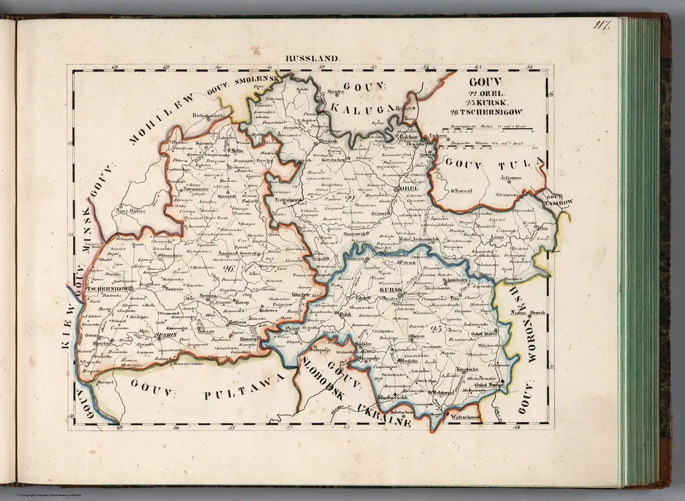
V.3:11-15:XIII. Russland. Gouv: 22. Orel. 23. Kursk. 26. Tschernigow
1829
Hermann, O.
1:500k
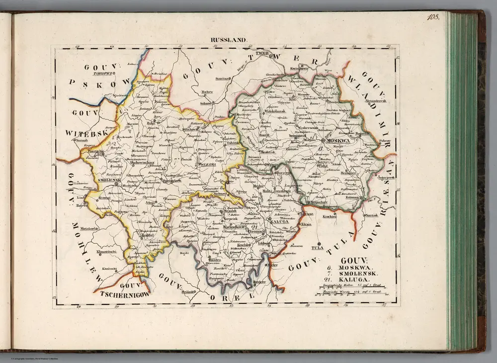
V.3:11-15:XIII. Russland. Gouv: 6. Moskq. 7. Smolensk. 21. Kaluga
1829
Hermann, O.
1:500k
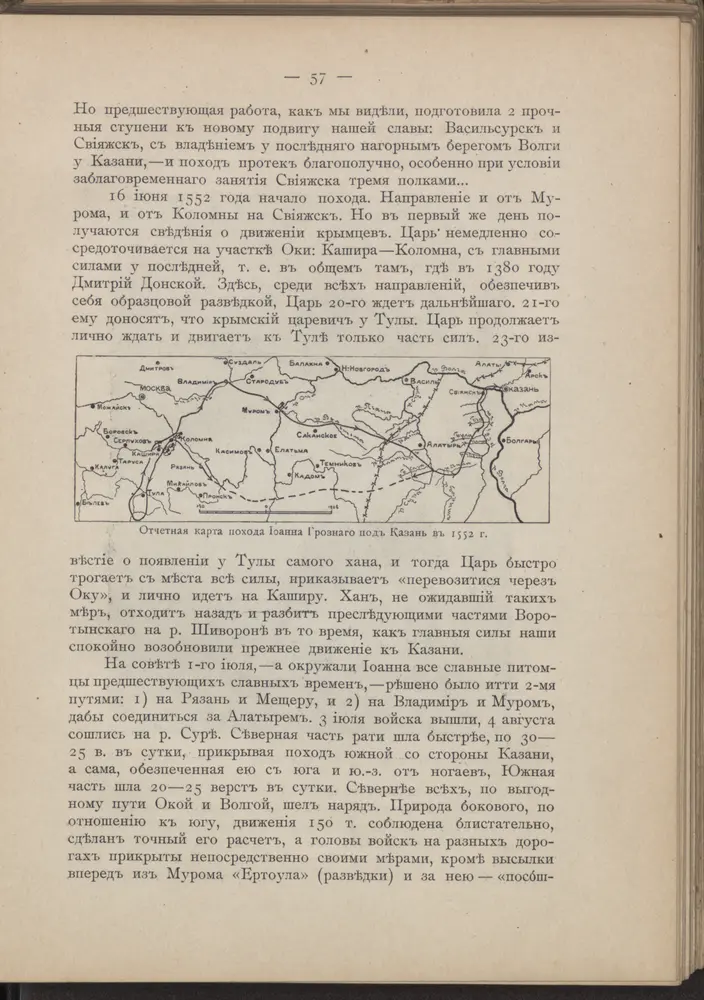
Otčetnaja karta pochoda Īoanna Groznago pod Kazan' v 1552 g.
1552
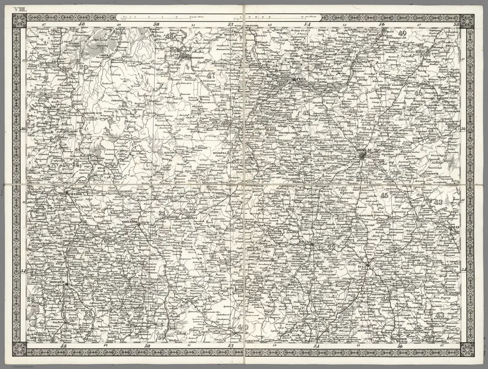
Moskau. VIII
1837
Schubert, Friedrich Theodor
1:1m
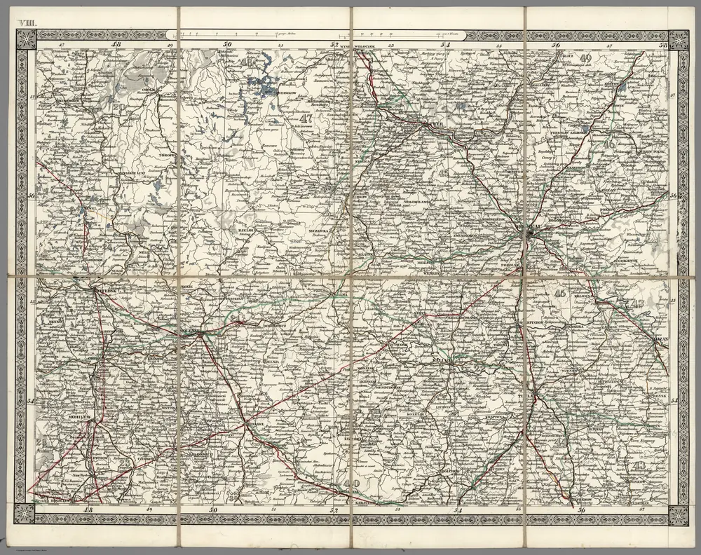
Moskau. VIII
1870
Schubert, Friedrich Theodor
1:1m

