

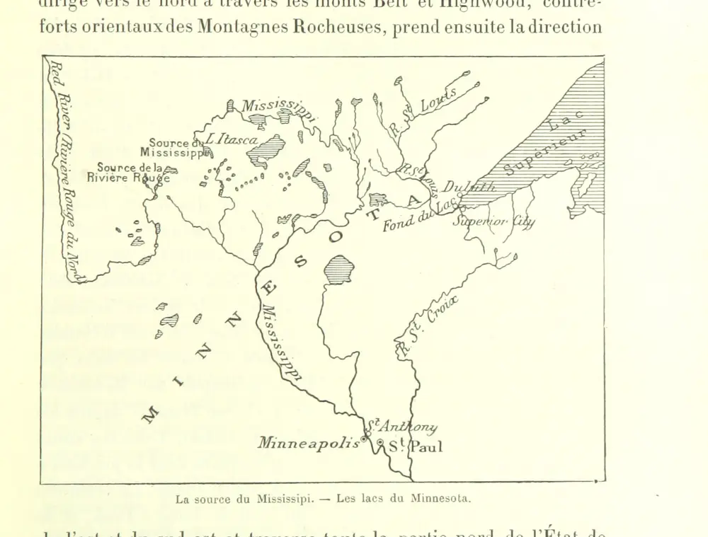
Histoire des États-Unis de l'Amérique du Nord, etc. tom. 1, 2
1892
MOIREAU, Auguste.
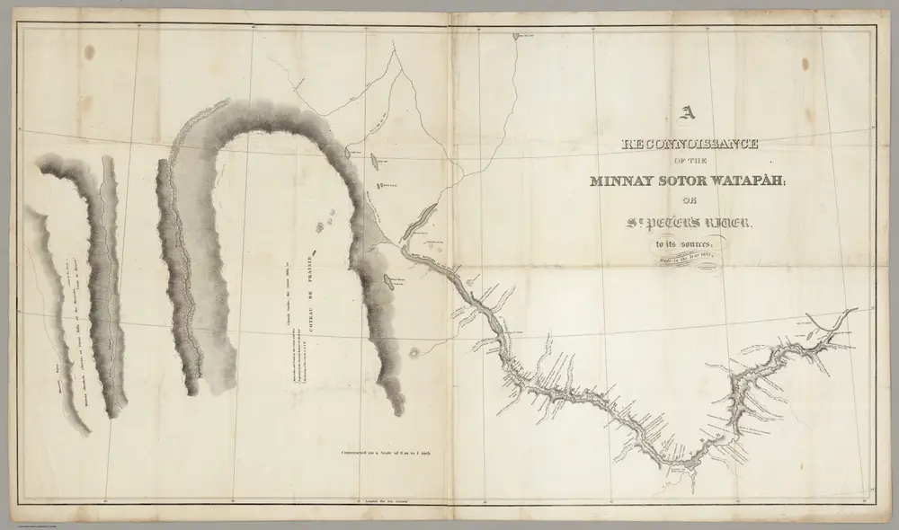
A Reconnoissance Of The Minnay Sotor Watapah = St. Peter's River to its sources
1835
Featherstonhaugh, G.W.
1:507k
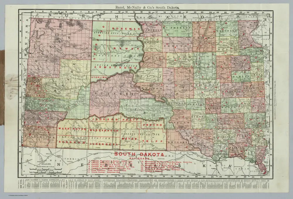
South Dakota
1906
Rand McNally and Company
1:1m
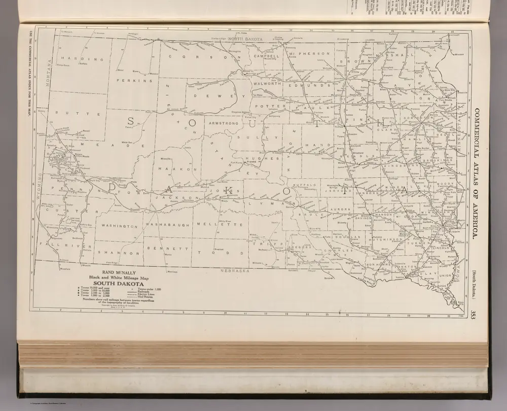
South Dakota.
1924
Rand McNally and Company
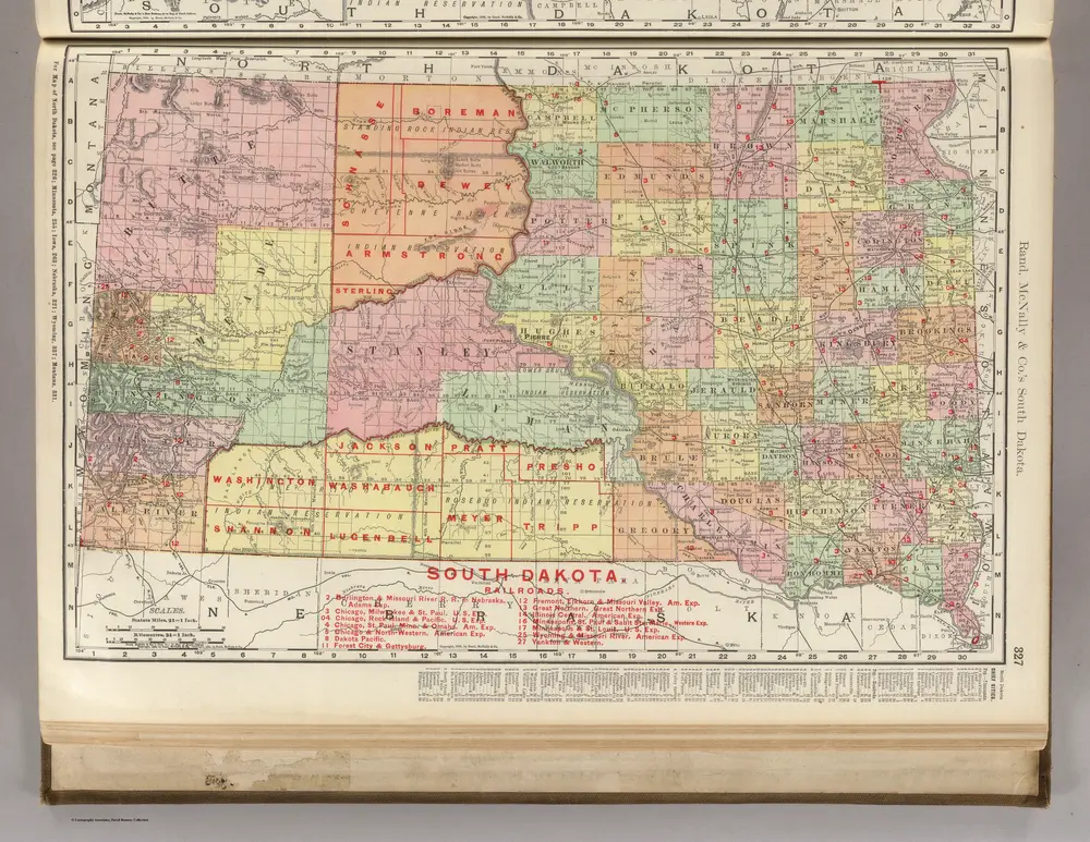
South Dakota.
1903
Rand McNally and Company
1:600k
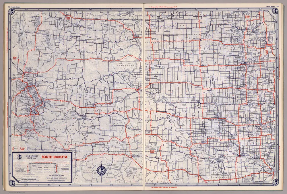
Rand McNally Road map: South Dakota
1939
Rand McNally and Company
1:1m
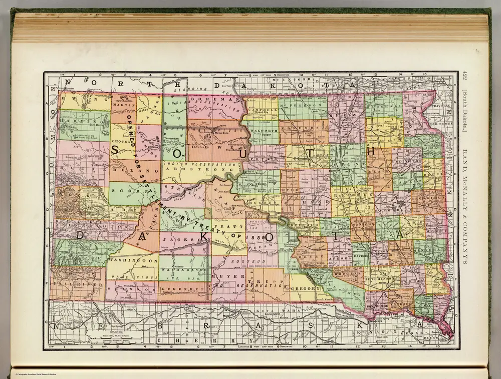
South Dakota.
1897
Rand McNally and Company
1:1m
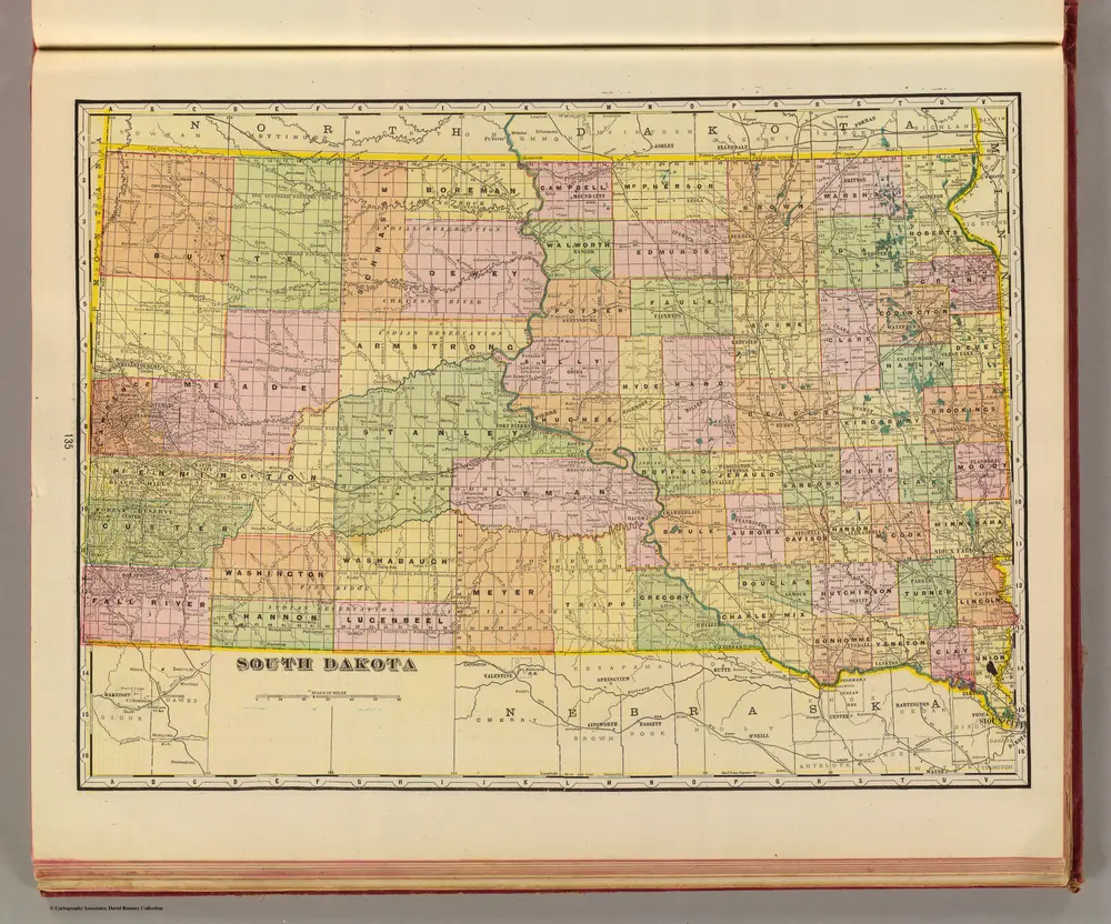
S. Dakota.
1909
Cram, George Franklin
1:2m
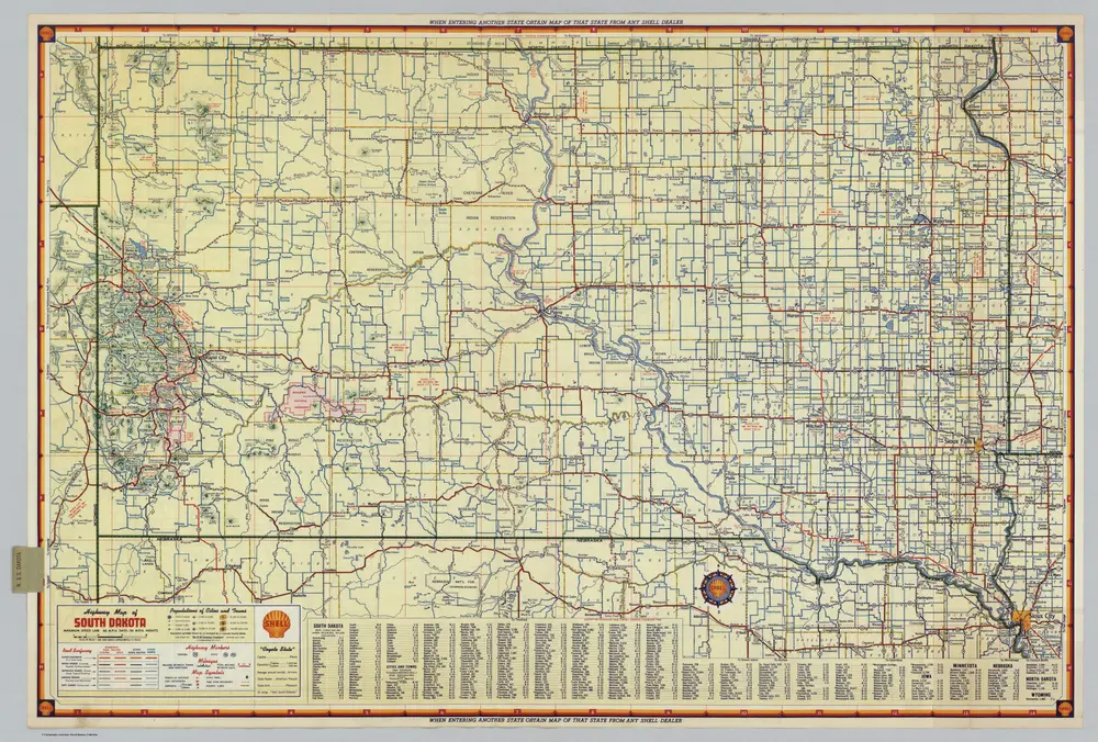
Shell Highway Map of South Dakota.
1949
Shell Oil Company
1:1m
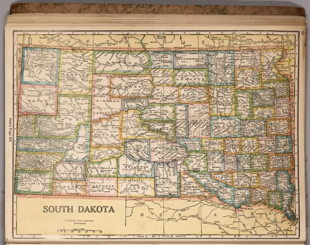
South Dakota
1927
National Map Company
1:2m


Vecchie mappe di Corona (Dakota del Sud)
Scoprite il passato di Corona (Dakota del Sud) sulle mappe storiche
Vecchie mappe di Corona (Dakota del Sud)
Scoprite il passato di Corona (Dakota del Sud) sulle mappe storiche
Alla ricerca di un Alternativa all'API di Google Maps?