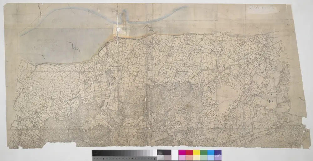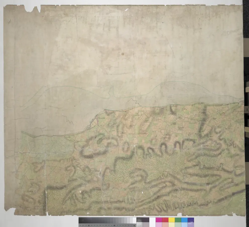


Boughton Street, Kent(002OSD000000015U00372000)
1797

Boughton Street, Kent(002OSD000000015U00371000)
1797

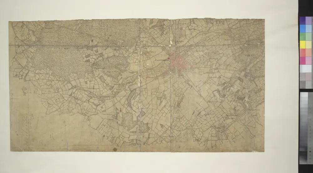
Canterbury, Kent
1799

TR15 - OS 1:25,000 Provisional Series Map
1938
Ordnance Survey
1:25k

TR16 - OS 1:25,000 Provisional Series Map
1938
Ordnance Survey
1:25k

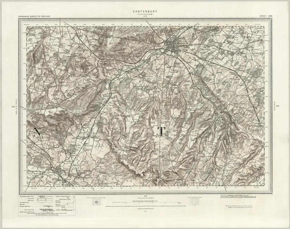
289 Canterbury (Hills)
1895
Ordnance Survey Office
1:63k

Canterbury (Hills) - OS One-Inch Revised New Series
1893
Ordnance Survey
1:63k

Canterbury (Outline) - OS One-Inch Revised New Series
1893
Ordnance Survey
1:63k

Kent XXXV - OS Six-Inch Map
1872
Ordnance Survey
1:11k

Kent XLVI - OS Six-Inch Map
1872
Ordnance Survey
1:11k

