Katalogisierte Karte
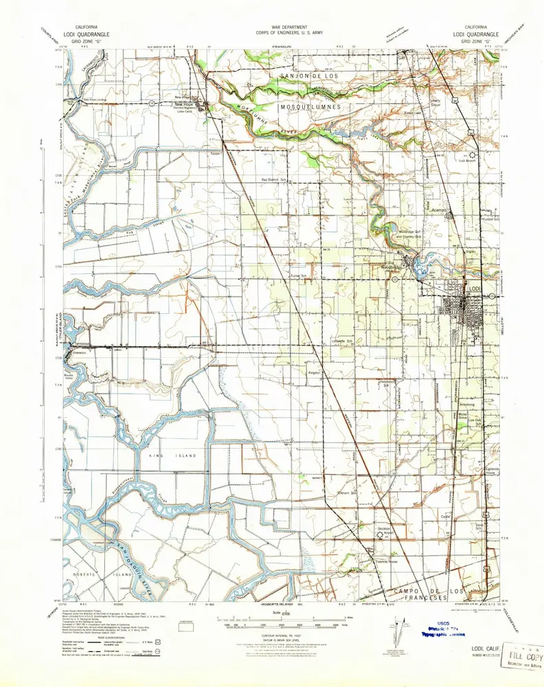
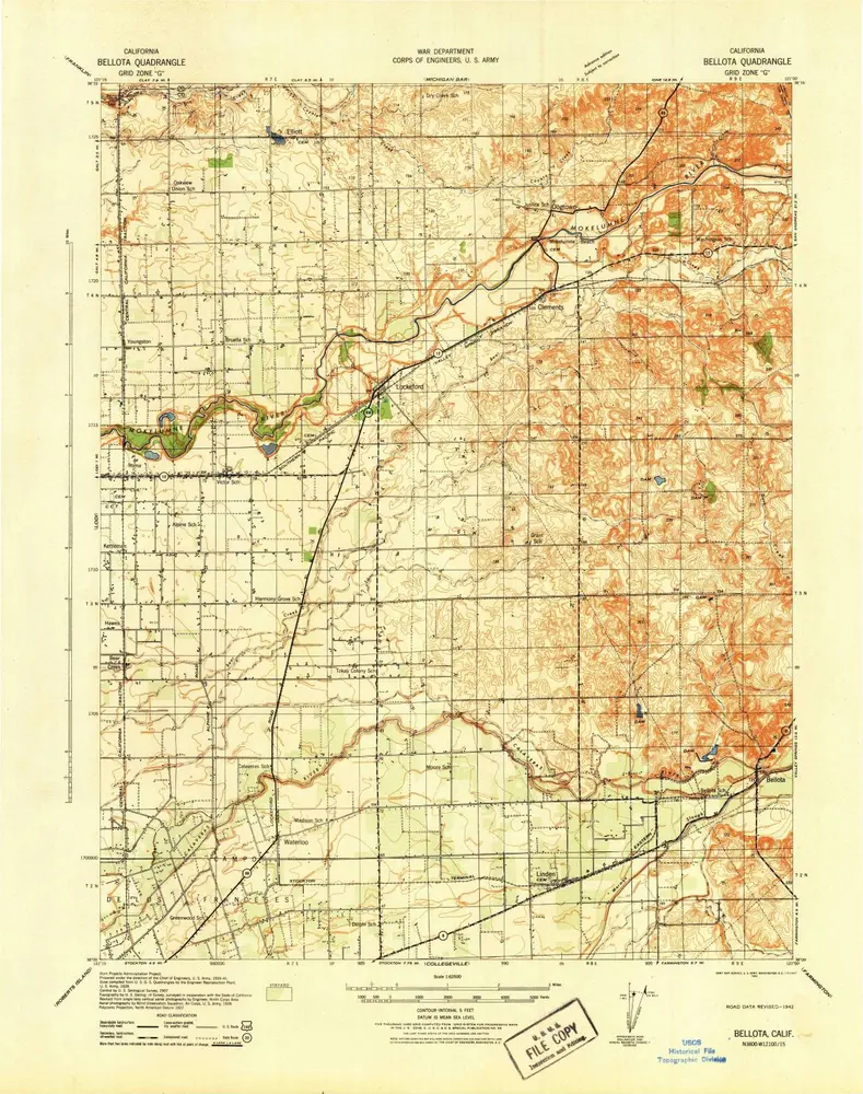
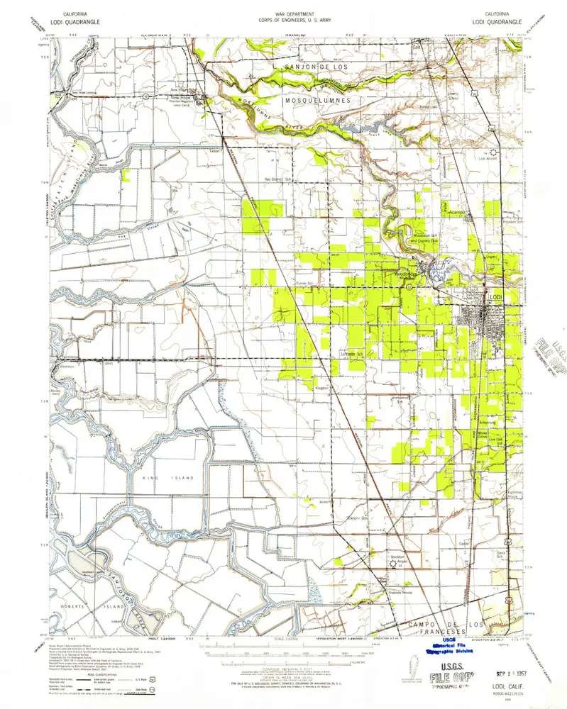
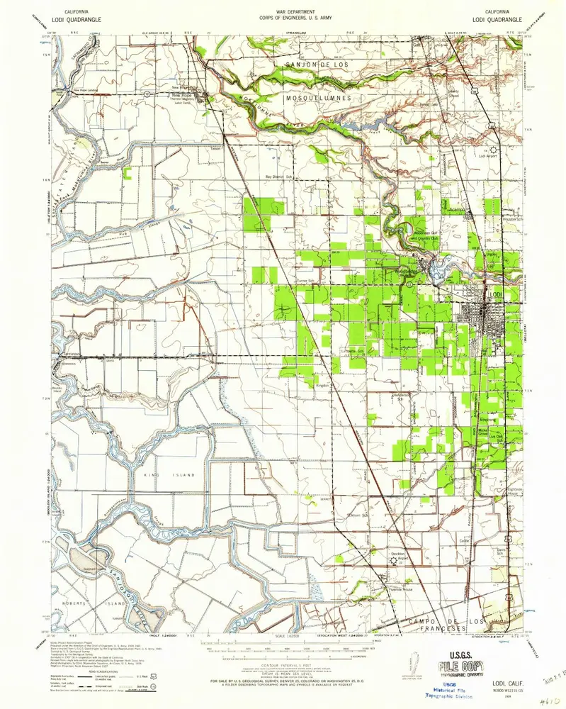
Sheet No. 2, North-central Portion, Irrigation Map of the San Joaquin Valley, California.

Einrichtung:The David Rumsey Map Collection
Vollständiger Titel:Sheet No. 2, North-central Portion, Irrigation Map of the San Joaquin Valley, California.
Jahr der Abbildung:1886
Veröffentlichungsdatum:1886
Herausgeber:California State Engineering Department
Maßstab der Karte:1:190 000