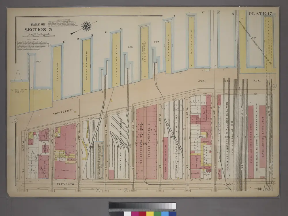
Cataloged map
Plate 17, Part of Section 3: [Bounded by (Hudson River Docks) Thirteenth Avenue, W. 32nd Street, Eleventh Avenue and W. 23rd Street.]
Full title:Plate 17, Part of Section 3: [Bounded by (Hudson River Docks) Thirteenth Avenue, W. 32nd Street, Eleventh Avenue and W. 23rd Street.]
Depicted:1920
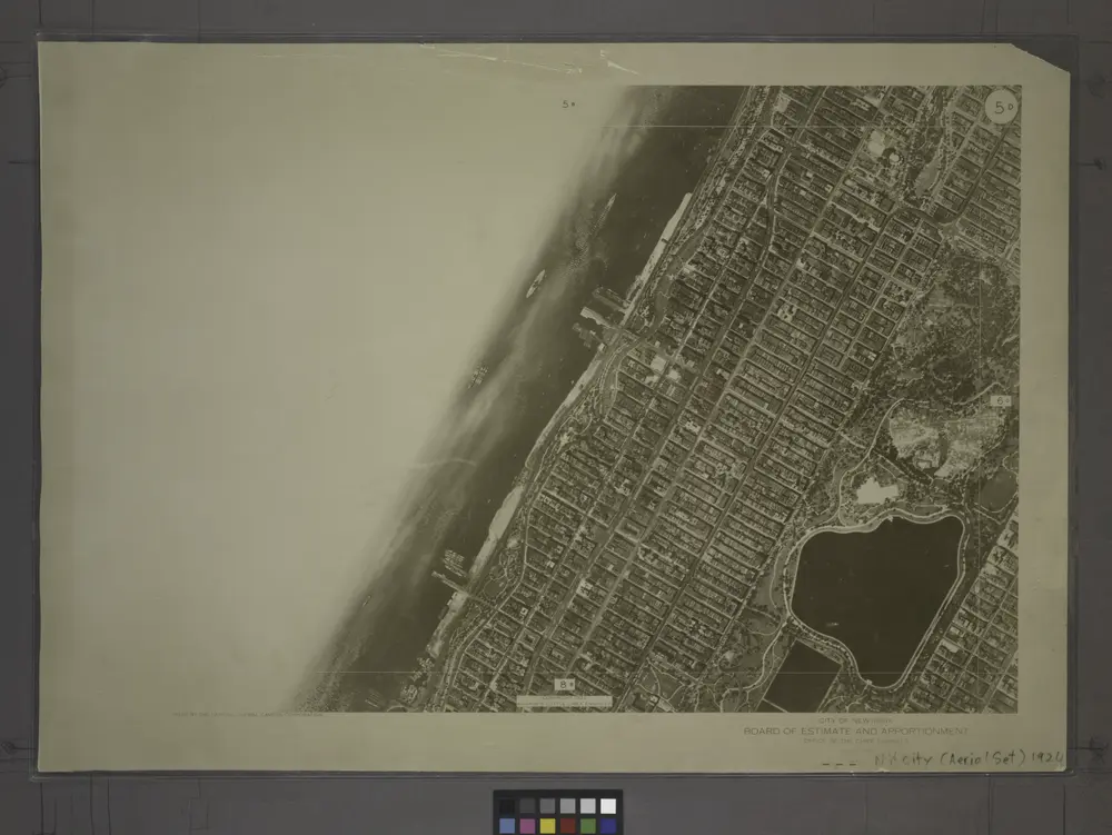
5D - N.Y. City (Aerial Set).
1924
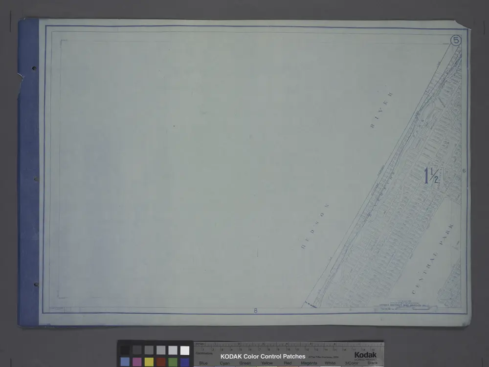
Height District Map Section No. 5; Height district map / City of New York, Board of Estimate and Apportionment.
1916
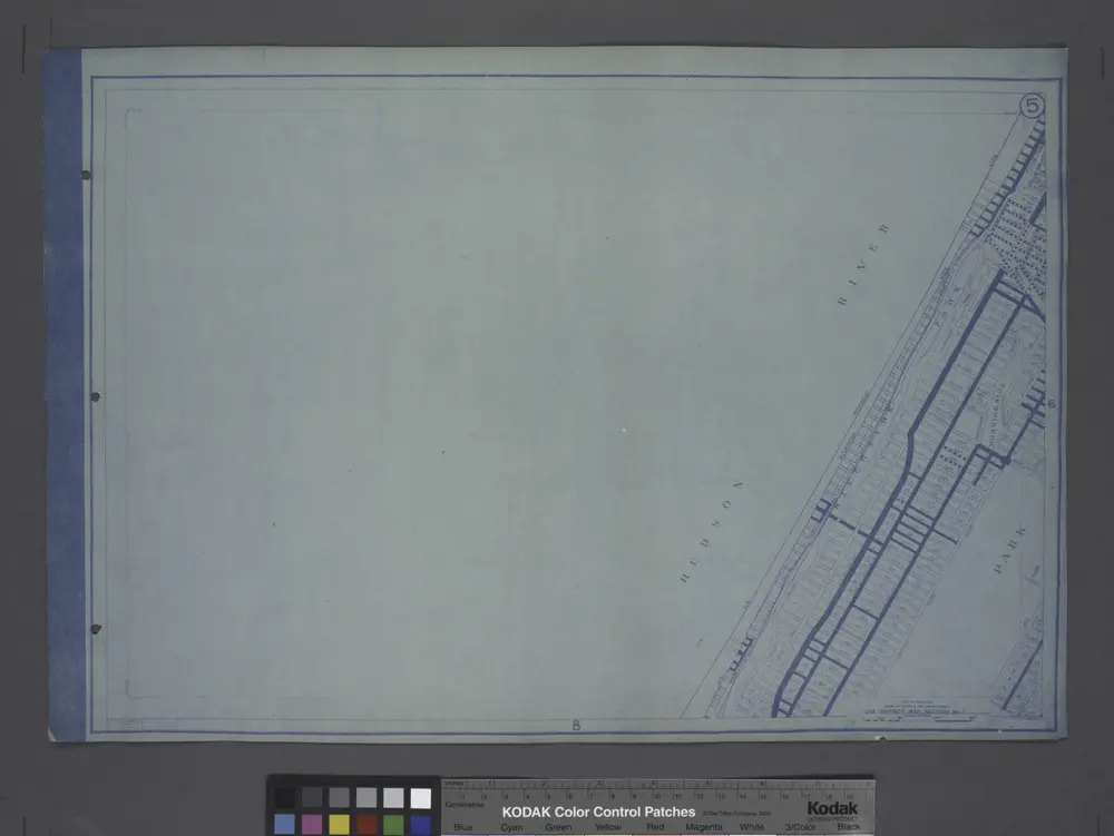
Use District Map Section No. 5
1916
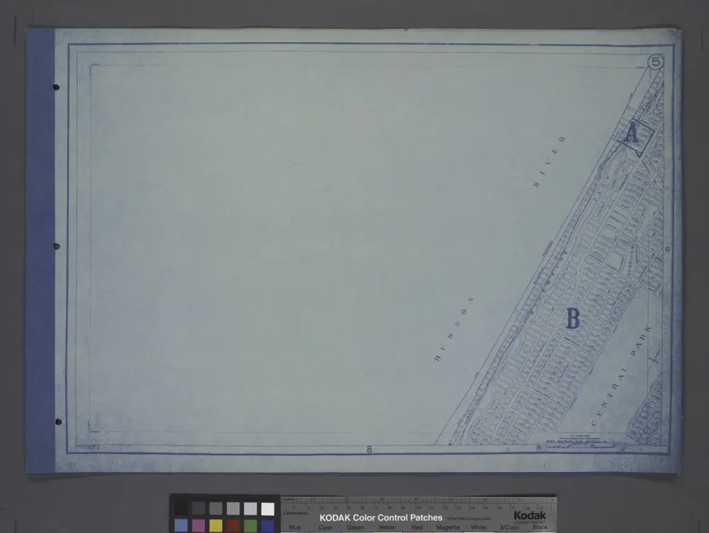
Area District Map Section No. 5
1916
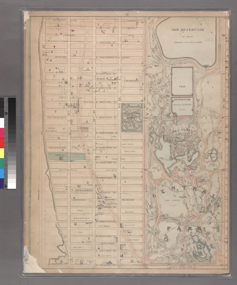
Sheet 13: [Bounded by W. Ninty First Street, (New Reservoir) 5th Avenue, Fifty Ninth Street and 12th Avenue.]
1867
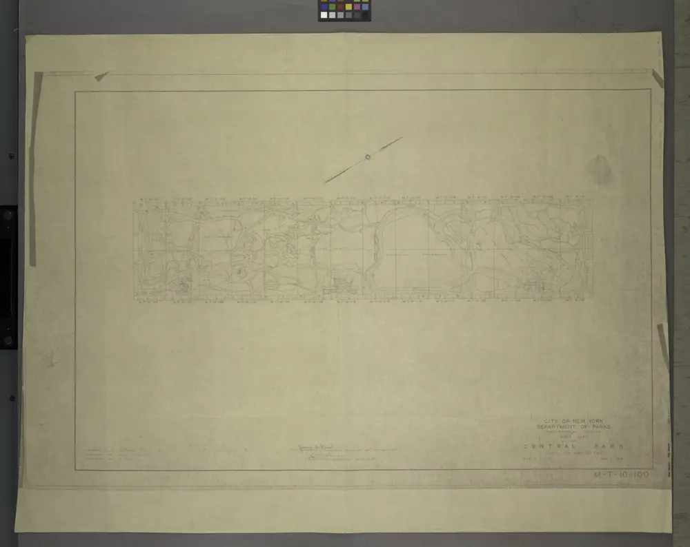
M-T-10-100: Index Map of Central Park, Boro. of Manhattan.
1948
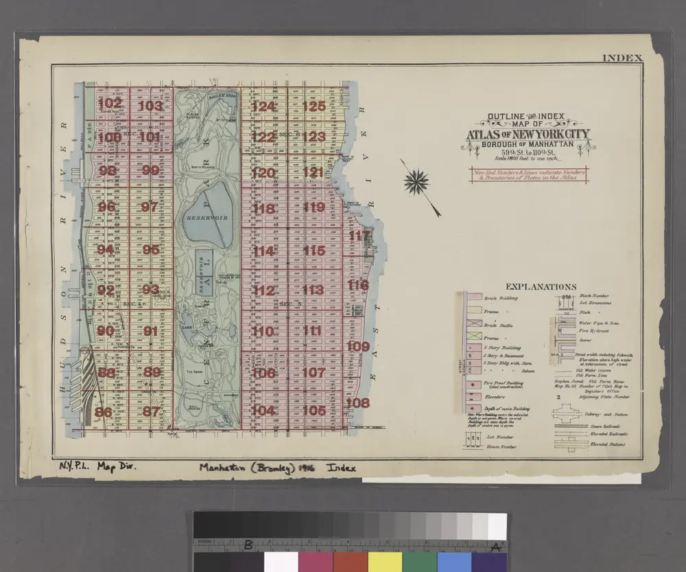
Outline and Index Map of Atlas of New York City.
1916
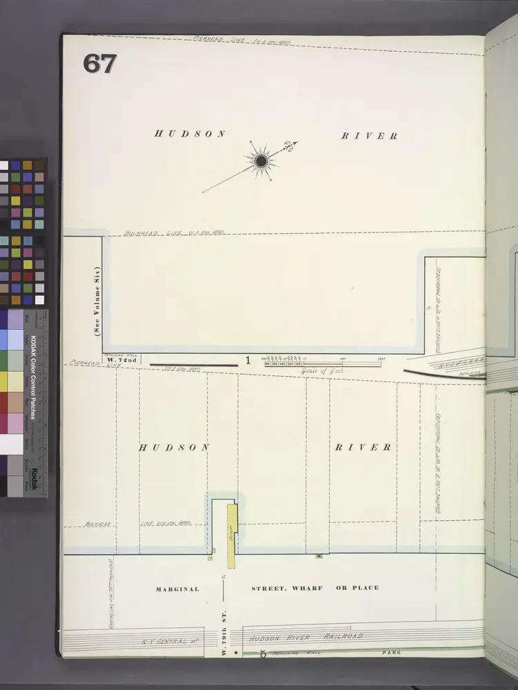
Manhattan, V. 7, Plate No. 67 [Map bounded by Hudson River, Marginal St.]
1902
Front Cover
1916
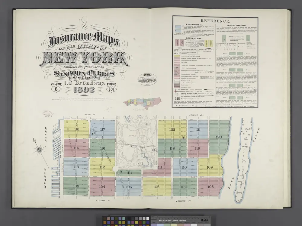
Insurance maps of the City of New York. Surveyed and published by Sanborn-Perris Map Co., Limited. 115 Broadway, 1892. Volume 6. / Key
1892


