Katalogisierte Karte
Oxfordshire II.7 (includes: Avon Dassett; Farnborough; Mollington; Warmington) - 25 Inch Map
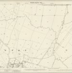

Vollständiger Titel:Oxfordshire II.7 (includes: Avon Dassett; Farnborough; Mollington; Warmington) - 25 Inch Map
Jahr der Abbildung:1899
Datum der Veröffentlichung:1905
Herausgeber:Ordnance Survey
Maßstab der Karte:1:2 500
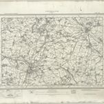
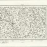
Banbury (Hills) - OS One-Inch Revised New Series
1893
Ordnance Survey
1:63k
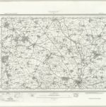
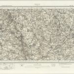
Banbury (Outline) - OS One-Inch Revised New Series
1893
Ordnance Survey
1:63k
n/a
1742
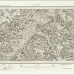
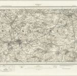
Warwick (Outline) - OS One-Inch Revised New Series
1897
Ordnance Survey
1:63k
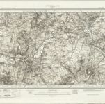
Warwick (Hills) - OS One-Inch Revised New Series
1897
Ordnance Survey
1:63k
The counti of Warwick the shire towne and citie of Coventre described
1676
1:1
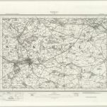
Stratford on Avon (Hills) - OS One-Inch Revised New Series
1897
Ordnance Survey
1:63k
Stratford on Avon (Outline) - OS One-Inch Revised New Series
1897
Ordnance Survey
1:63k
Redditch (Hills) - OS One-Inch Revised New Series
1897
Ordnance Survey
1:63k
Redditch (Outline) - OS One-Inch Revised New Series
1897
Ordnance Survey
1:63k