Katalogisierte Karte
Plate 56: Map bounded by West 22nd Street, East 22nd Street, Fourth Avenue, Union Place, East 17th Street, Broadway, West 18th Street, Sixth Avenue.


Einrichtung:New York Public Library
Vollständiger Titel:Plate 56: Map bounded by West 22nd Street, East 22nd Street, Fourth Avenue, Union Place, East 17th Street, Broadway, West 18th Street, Sixth Avenue.
Jahr der Abbildung:1854
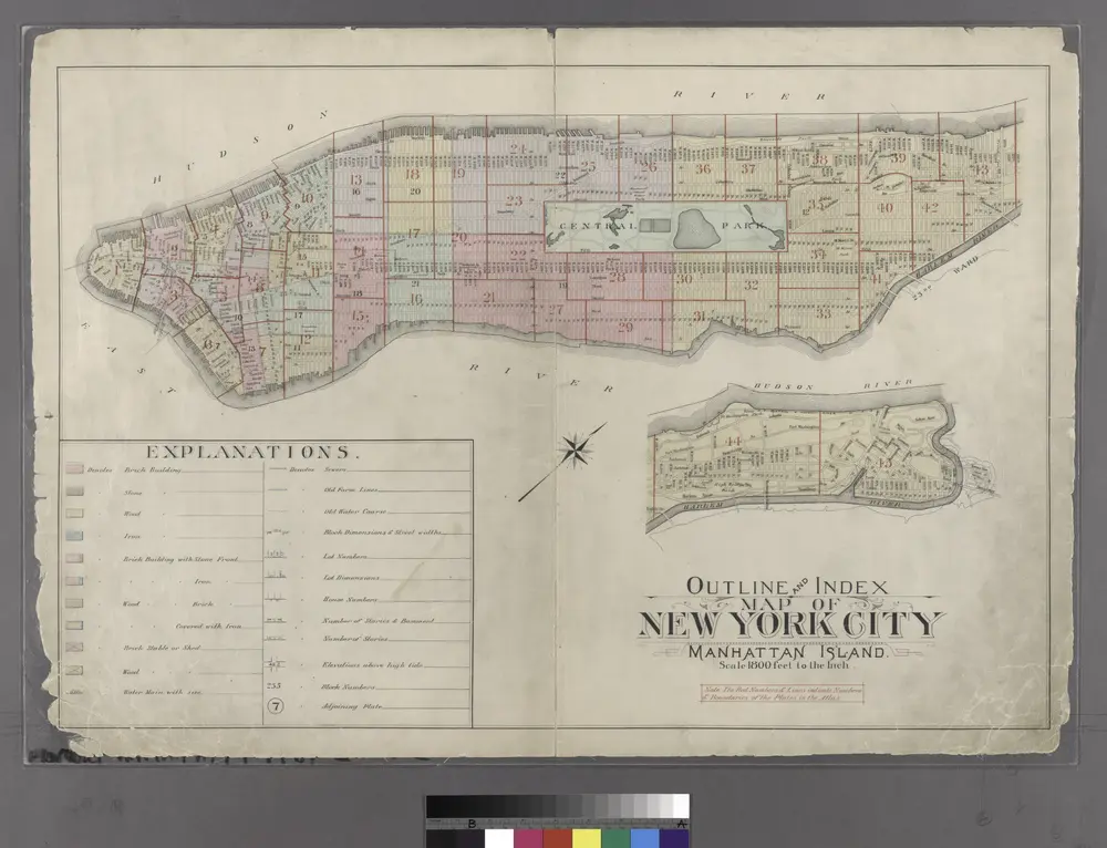
Outline and Index Map of Atlas of New York City : Manhattan Island.
1897
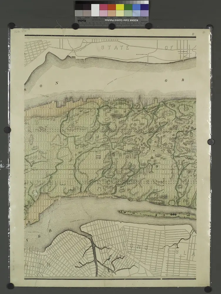
Topographical atlas of the city of New York, including the annexed territory showing original water courses and made land. / prepared under the direction of Egbert L. Viele.
1874
Map of the city of New York : with street directory showing house-numbers, hotels, churches, banks, theatres, ferries, house-car, steam and elevated R.R'ds, &c
1883
Dripps, M. (Matthew)
1:13k

Facsimile of the unpublished British head quarters coloured manuscript map of New York & environs / reproduced from the original drawing in the War Office, London.
1782

Facsimile of the unpublished British head quarters coloured manuscript map of New York & environs / reproduced from the original drawing in the War Office, London.
1782

Topographical map of New York City, County and vicinity: showing old farm lines &c. / based on Randells and other official surveys, drawings and modern surveys by J.F. Harrison & T. Magrane; printed by C. Wadlow.
1854
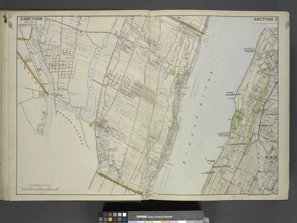
Portion of Bergen County, N.J.
1891
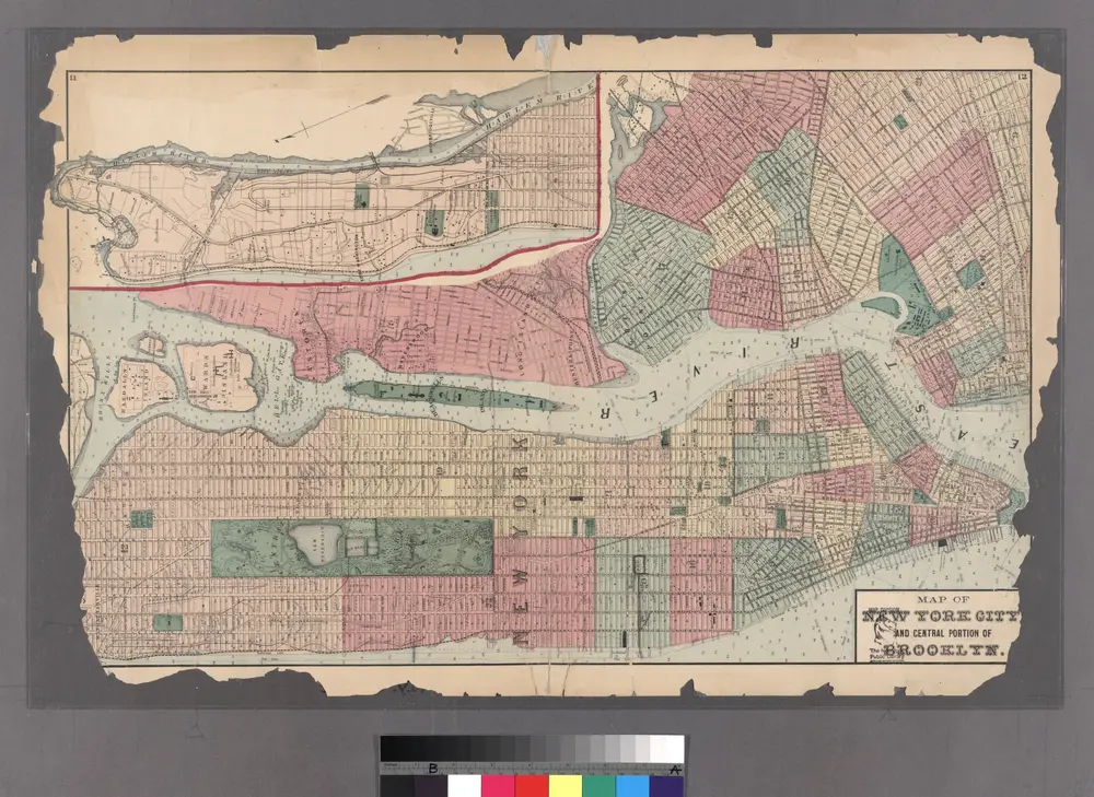
Plates 11 & 12: Map of New York City and central portion of Brooklyn.
1872
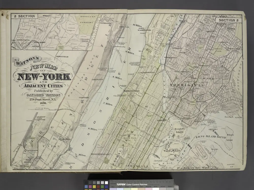
Map of New York and Adjacent Cities
1891
Map of New York City, south of 46th St. : showing new arrangement of docks, piers, and water frontage, also soundings and former high water line
1877
Dripps, M. (Matthew)
1:7k