Cartes de Wakefield, Massachusetts
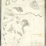 1831|Parker, Edmund1:19 800
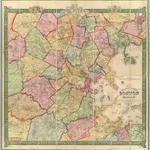 1852|Smith, R. P.1:39 600
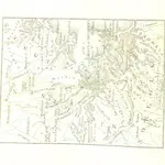 1833|HAYWARD, John American Author
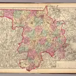 1871|Gray, Ormando Willis; Walling, H. F.1:158 400
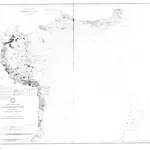 1872|C&GS1:80 000
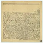 1844|C. Hickling1:158 400
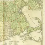 1831|Lincoln & Edmunds
Anciennes cartes de Wakefield, Massachusetts
Découvrez le passé de Wakefield, Massachusetts sur des cartes historiques
Anciennes cartes de Wakefield, Massachusetts
Découvrez le passé de Wakefield, Massachusetts sur des cartes historiques
À la recherche d'un Alternative à l'API Google Maps?