

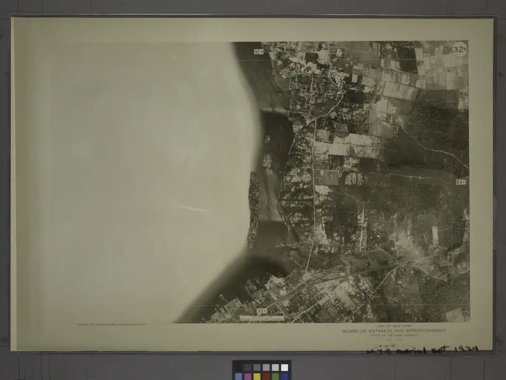
32D - N.Y. City (Aerial Set).
1924
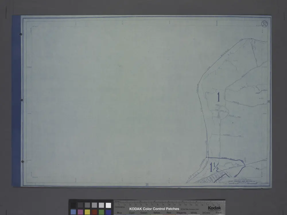
Height District Map Section No. 32
1916
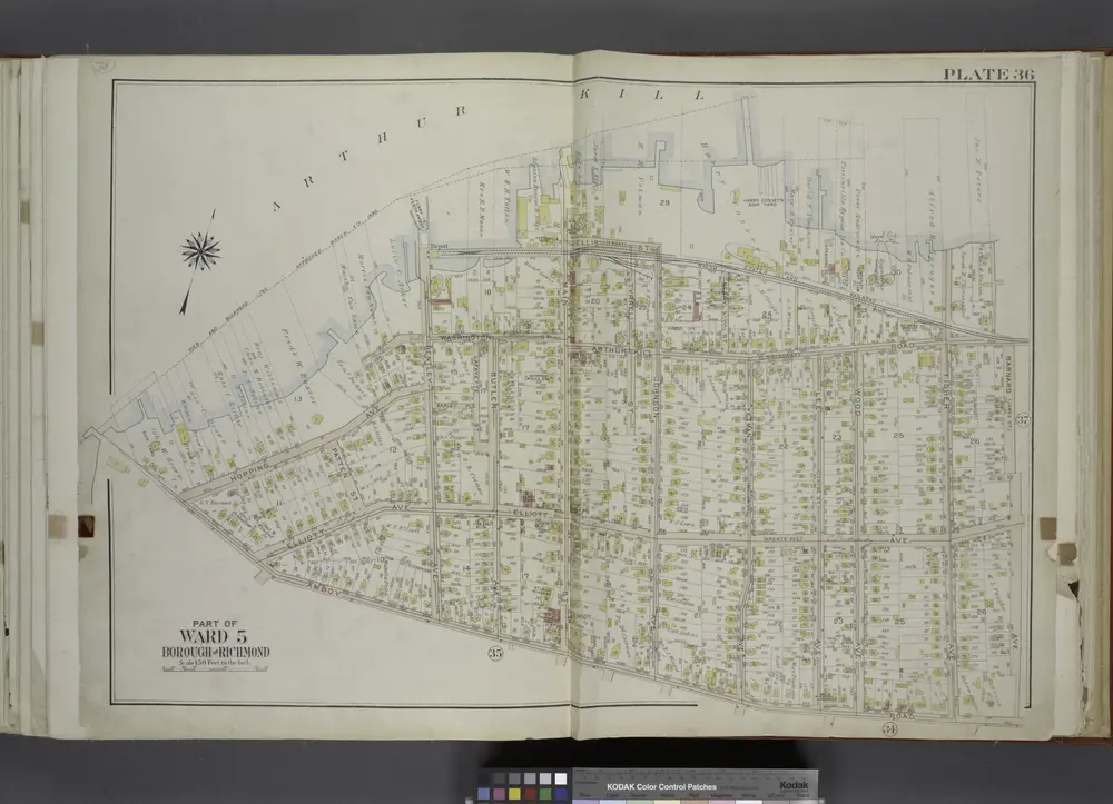
Part of Ward 5. [Map bound by Pierhead And Bulkhead Line, Barnard Ave (James St), Amboy Road]
1917
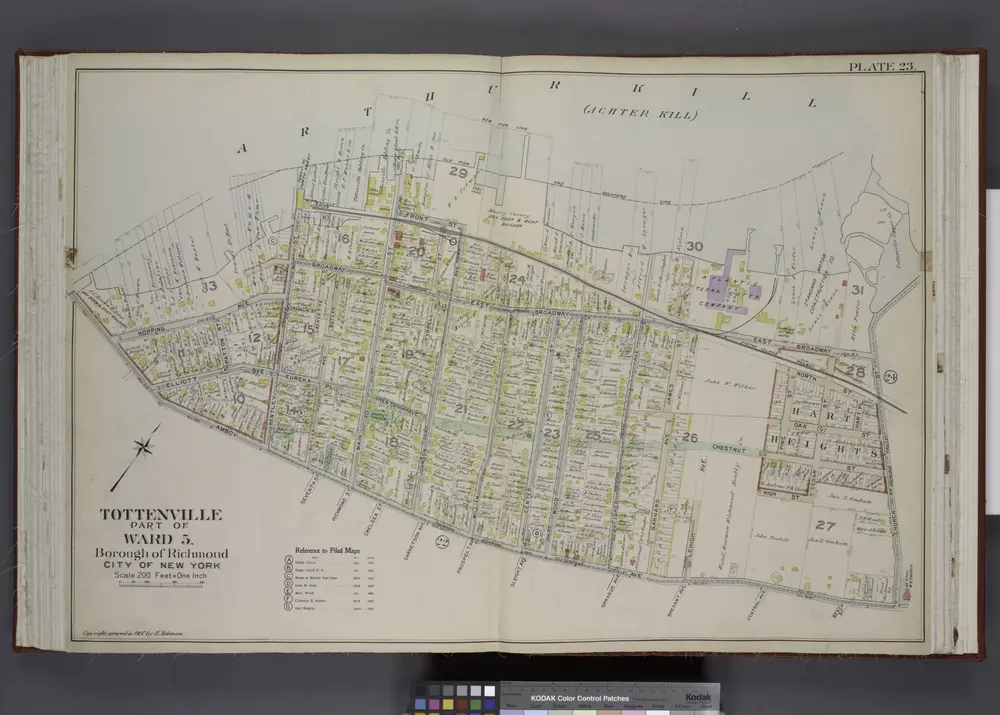
Part of Ward 5. [Map bound by Old Pier & Bulkhead Line, Church St, Amboy Ave]
1907
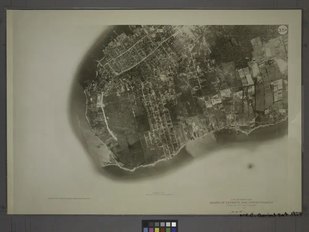
35A - N.Y. City (Aerial Set).
1924
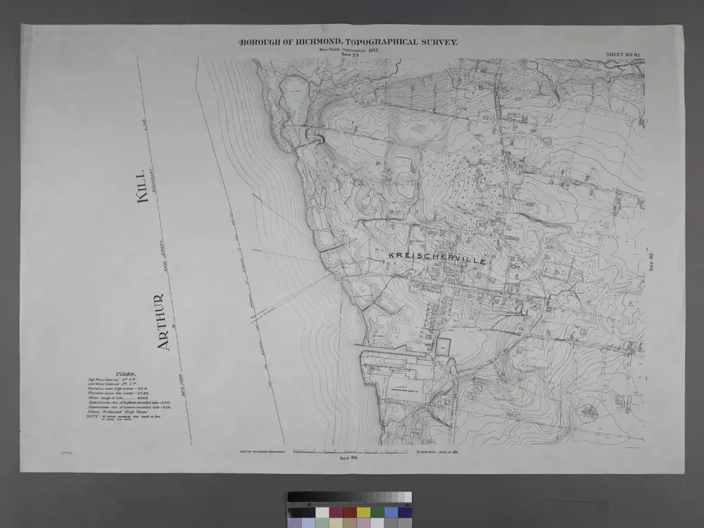
Sheet No. 81. [Includes Sharrotts Road, Kreischerville (Port Mobil).]
1913
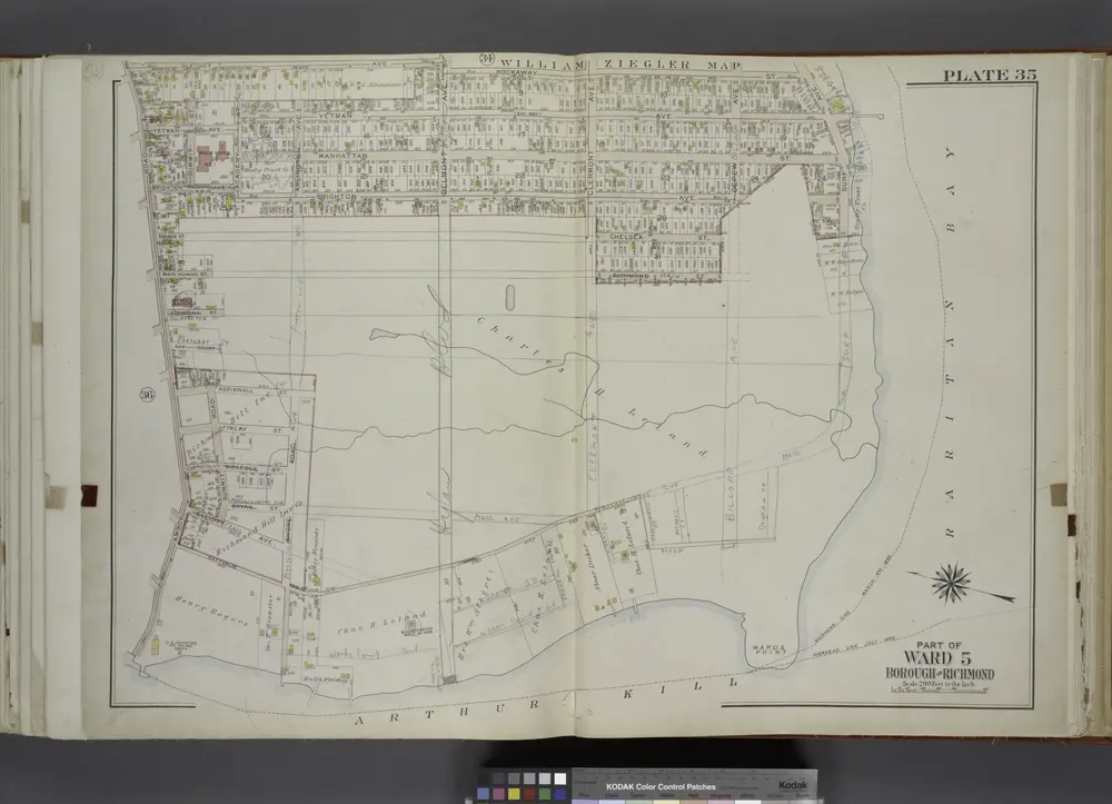
Part of Ward 5. [Map bound by Sleight Ave, Rockaway St, Surf Ave, Bulkhead Line, Amboy Road]
1917
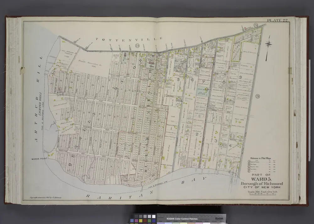
Part of Ward 5. [Map bound by Amboy Road, Beach St, Pier & Bulkhead Line]
1907
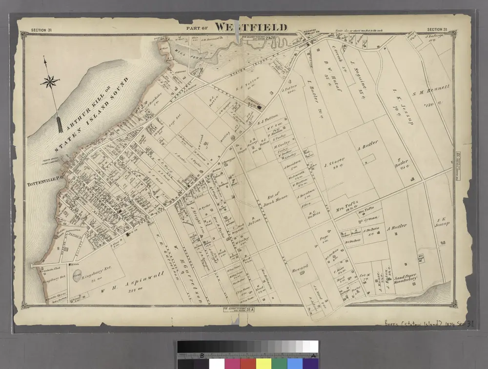
Part of Westfield.
1874
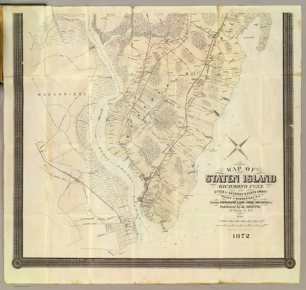
Staten Island South.
1872
Dripps, Matthew
1:253k

