

Small folder - S2
1868
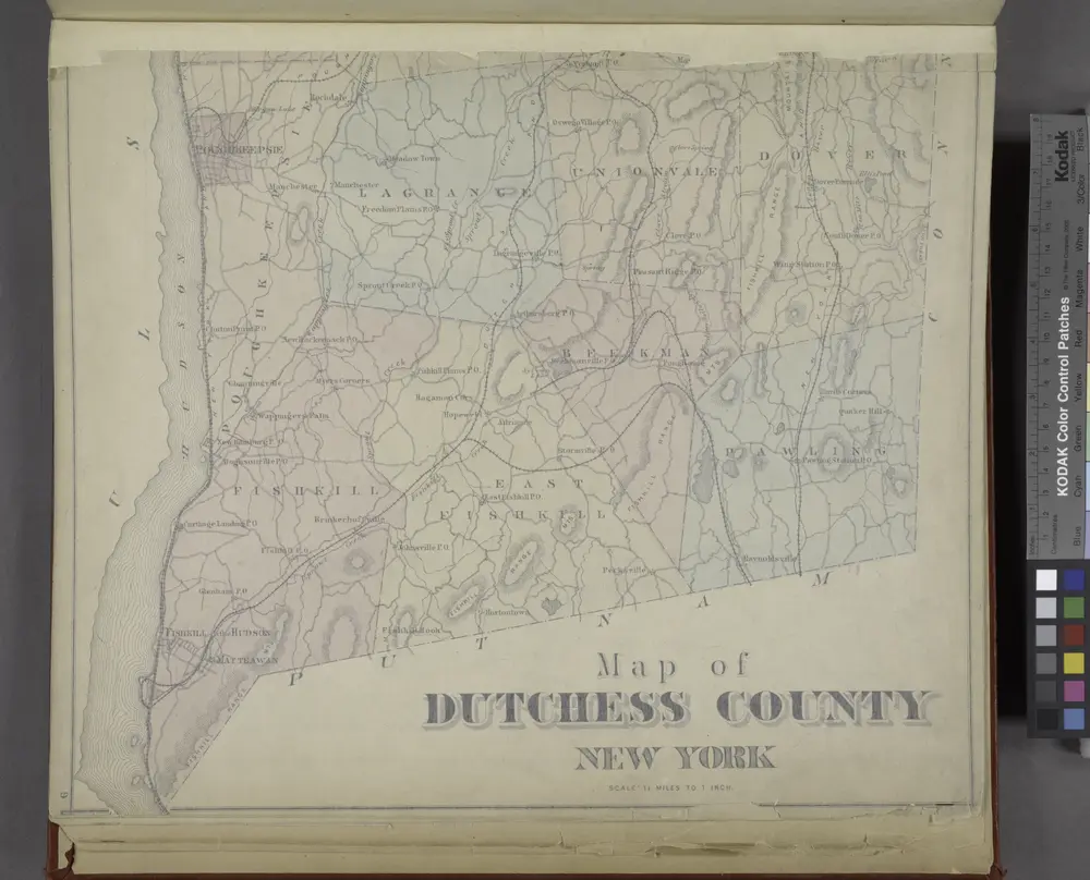
Map of Dutchess County New York
1876
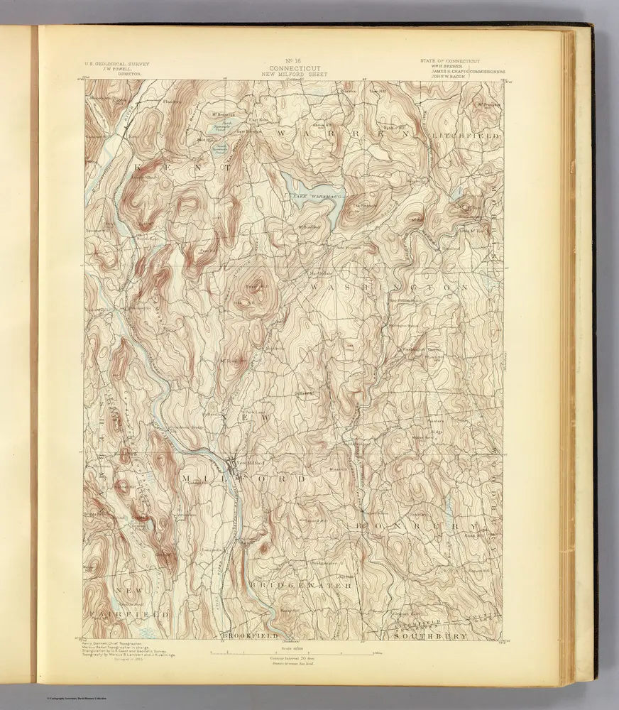
16. New Milford sheet.
1893
Geological Survey (U.S.)
1:63k
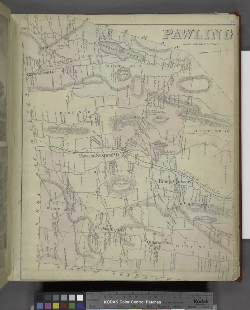
Pawling [Township]
1876
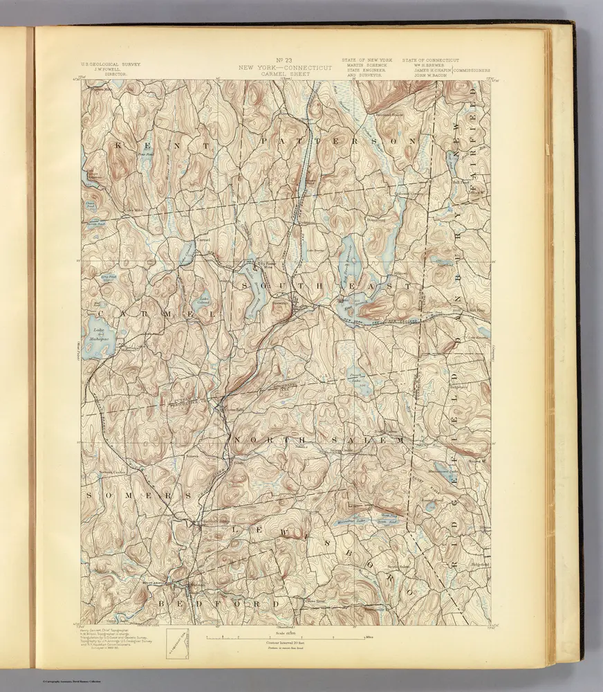
23. Carmel sheet.
1893
Geological Survey (U.S.)
1:63k
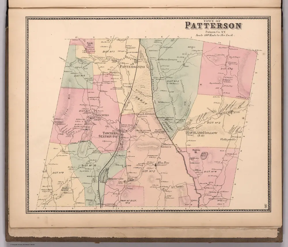
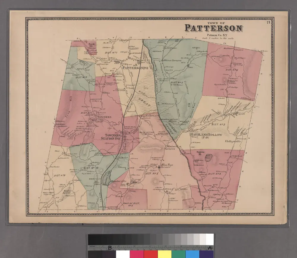
Town of Patterson, Putnam County, New York.
1867
Beers, Frederick W.
1:20k
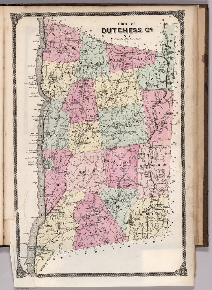
Plan of Dutchess County, New York.
1867
Beers, Frederick W.
1:135k
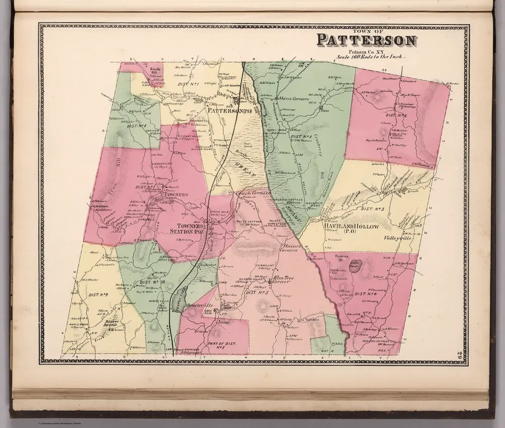
Town of Patterson, Putnam County, New York.
1867
Beers, Frederick W.
1:20k
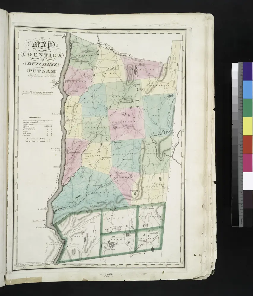
Map of the counties of Dutchess and Putnam / by David H. Burr ; engd. by Rawdon, Clark & Co., Albany, & Rawdon, Wright & Co., New York.
1829
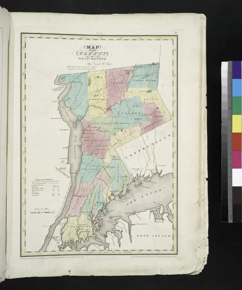
Map of the county of Westchester / by David H. Burr ; engd. by Rawdon, Clark & Co., Albany, & Rawdon, Wright & Co., New York.
1829

