

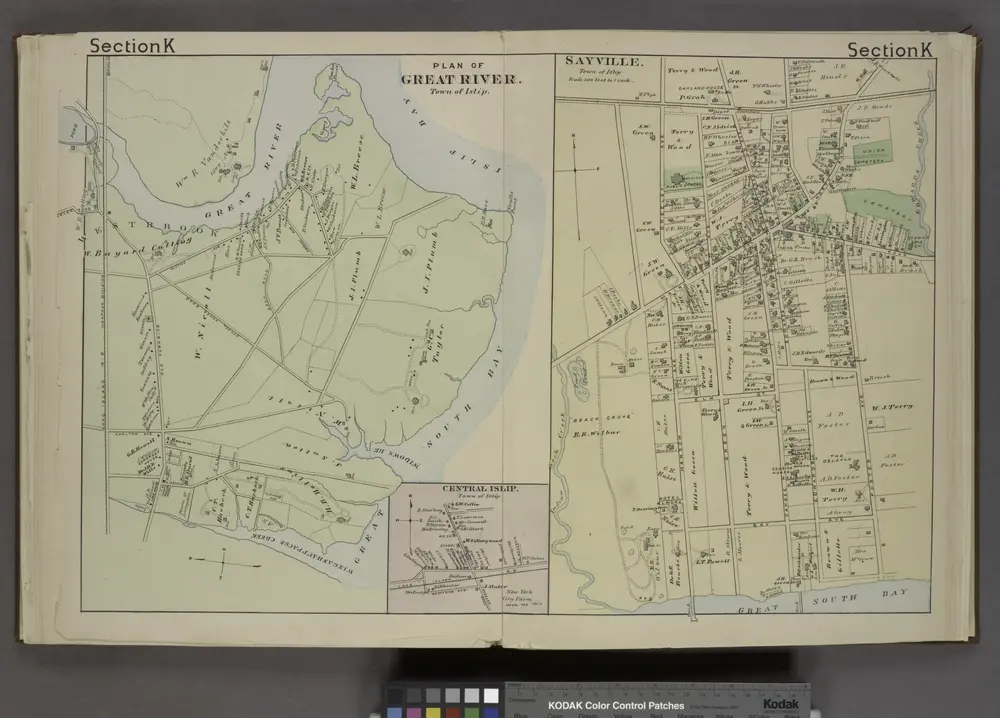
Plan of Great River. [Township]; Central Islip [Village]; Sayville. [Village];
1888
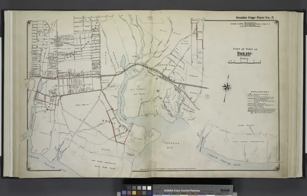
Part of Town of Islip
1915
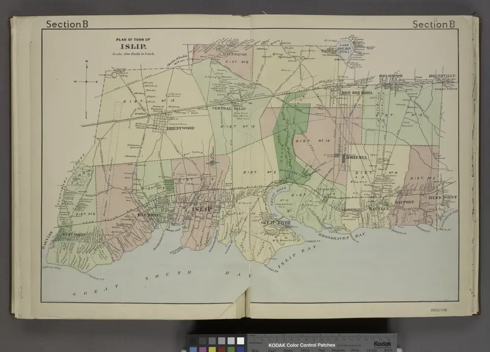
Plan of Town of Islip. [Township]
1888
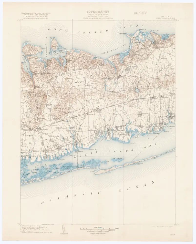
New York
1919
Department of the Interior U. S. Geological Survey
1:125k
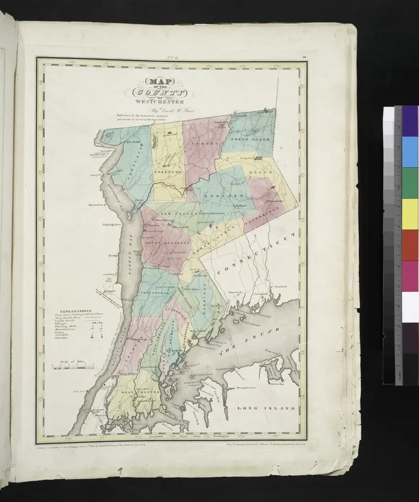
Map of the county of Westchester / by David H. Burr ; engd. by Rawdon, Clark & Co., Albany, & Rawdon, Wright & Co., New York.
1829

Map Exhibiting The ... Lines for the New-York and New-Haven Rail-Road.
1845
Anderson, P.
1:20k
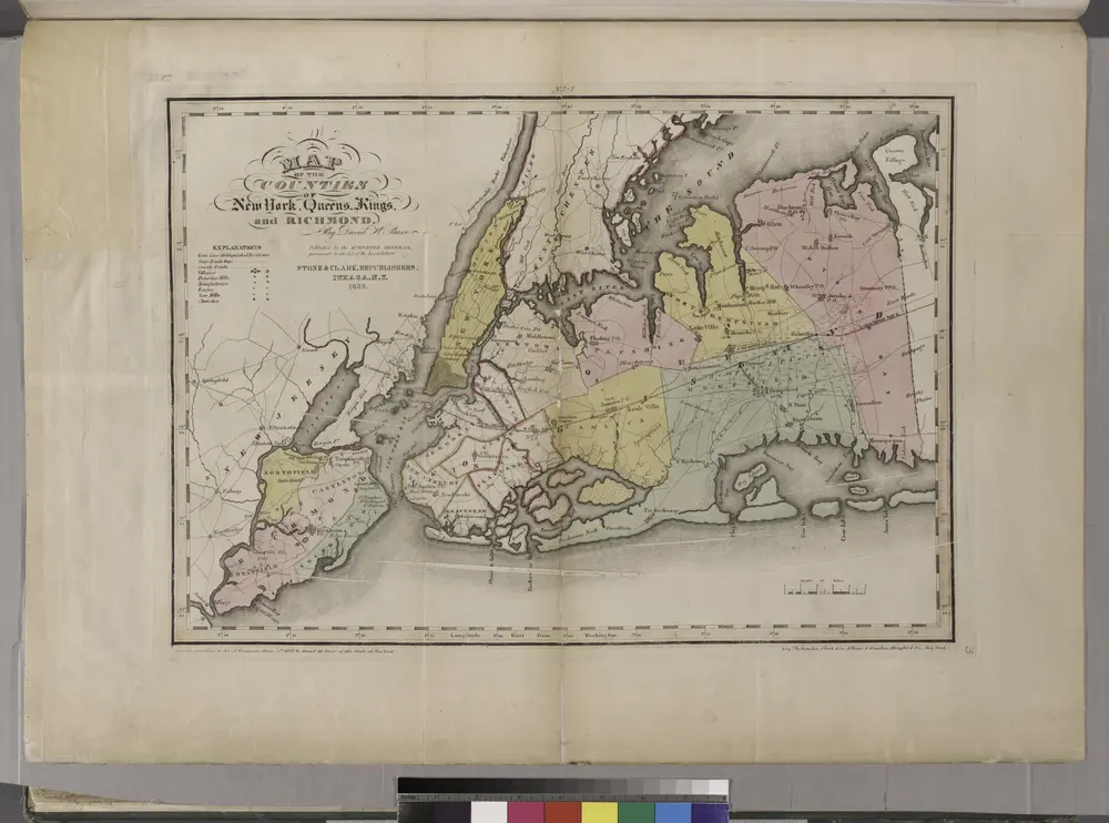
Map of the counties of New York, Queens, Kings, and Richmond.
1829
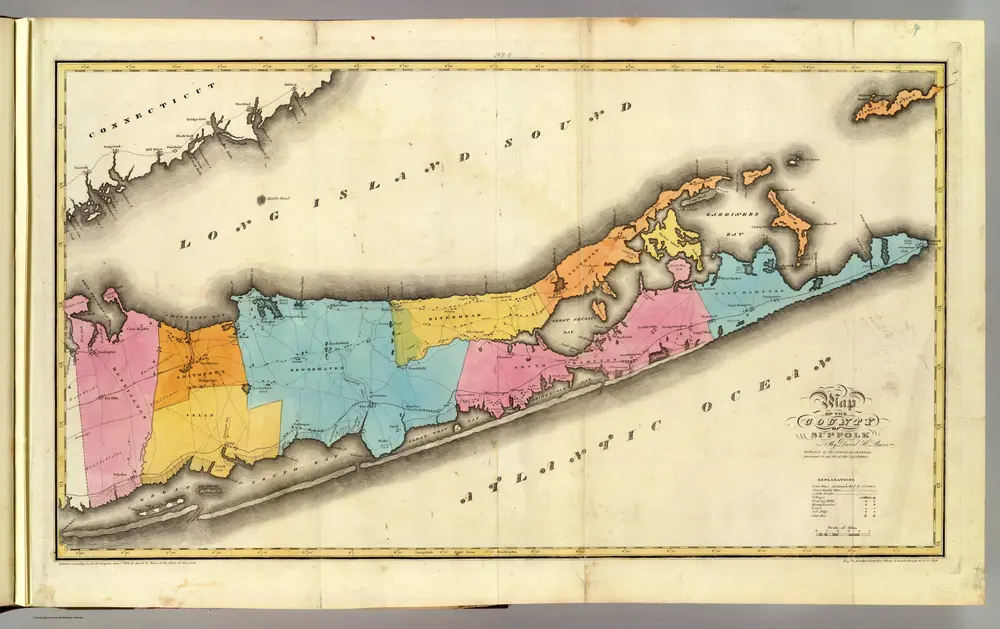
Suffolk County.
1829
Burr, David H., 1803-1875
1:170k
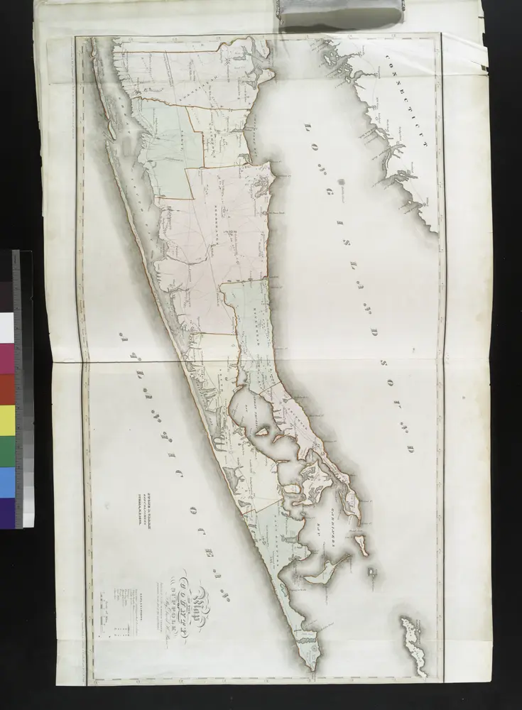
Map of the county of Suffolk / by David H. Burr ; engd. by Rawdon Clark & Co., Albany, & Rawdon, Wright & Co., N. York.
1841
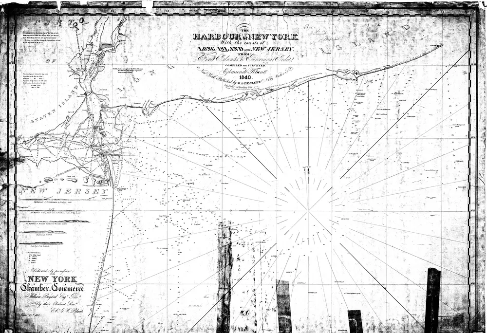
the Harbour of New York With the Coasts of Long Island and New Jersey From Fire Islands to Barnigat Inlet
1840
Blunt

