

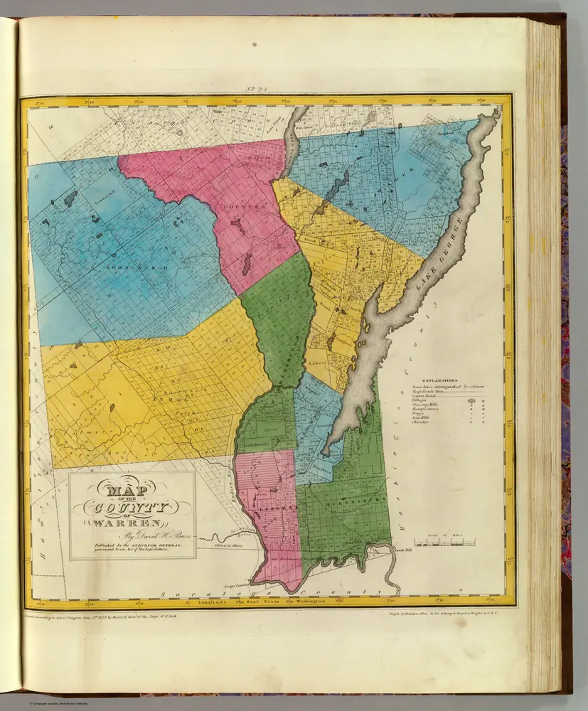
Warren County.
1829
Burr, David H., 1803-1875
1:151k
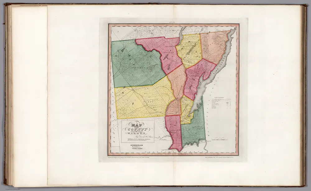
Map of the County Warren (New York).
1840
Burr, David H., 1803-1875
1:167k
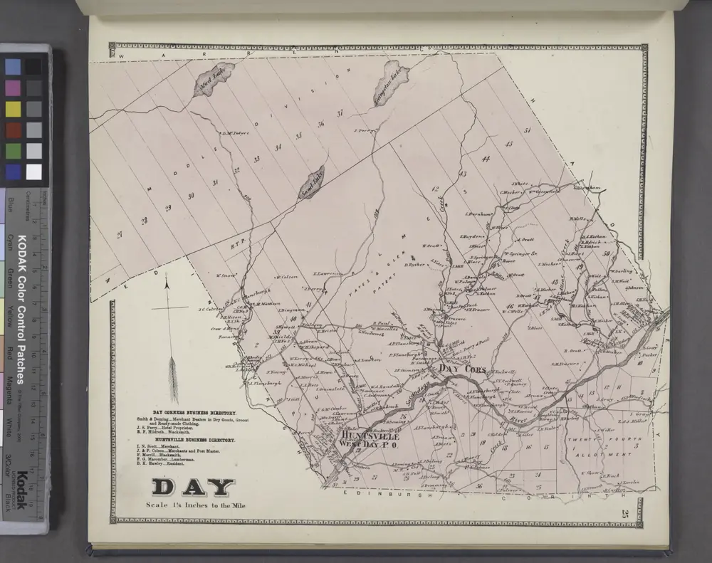
Day Corners Business Directory. ; Huntsville Business Directory. ; Day [Township]
1866
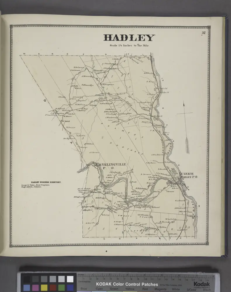
Hadley [Township]; Hadley Business Directory.
1866
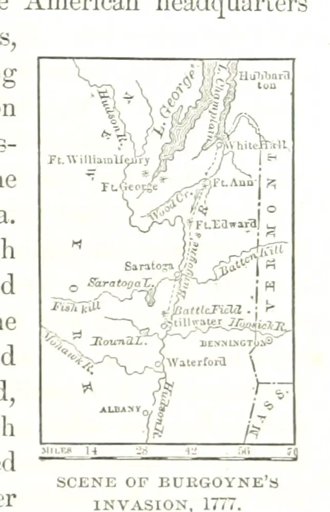
History of the United States, prepared especially for schools. ... Illustrated with charts, maps, etc
1874
RIDPATH, John Clark.
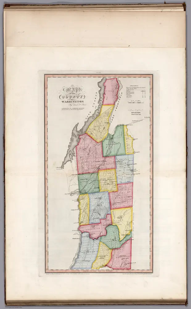
Map of the County of Washington (New York).
1840
Burr, David H., 1803-1875
1:166k
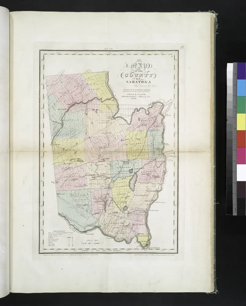
Map of the county of Saratoga / by David H. Burr ; engd. by Rawdon, Clark & Co., Albany, & Rawdon, Wright & Co., N. York.
1829

Map of the county of Saratoga / by David H. Burr ; engd. by Rawdon, Clark & Co., Albany, & Rawdon, Wright & Co., N. York.
1829
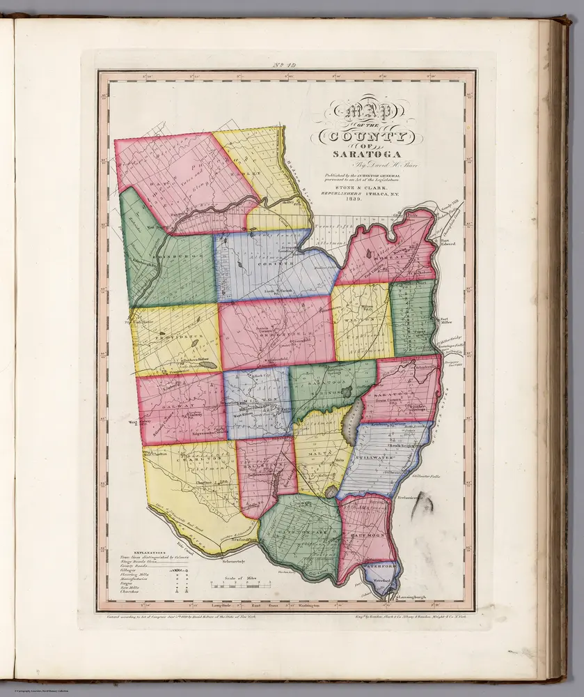
Map of the County of Saratoga (New York).
1840
Burr, David H., 1803-1875
1:167k
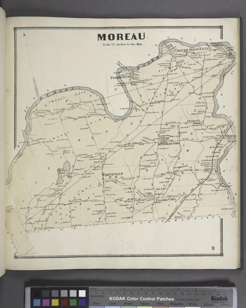
Moreau [Township]
1866

