Cartes de Comté de Wake
 1862|L. Prang & Co.
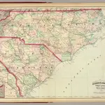
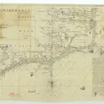 1875|James Wimble1:1 293 460
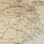
 1863|FISHER, Richard Swainson.
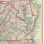 1863|FISHER, Richard Swainson.
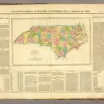 1825|Buchon, J. A. C.; Carey, H. C.; Lea, I.1:1 650 000
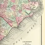
 1874|Asher & Adams1:1 267 200
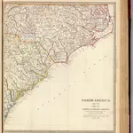 1833|Society for the Diffusion of Useful Knowledge (Great Britain)1:1 770 000
Anciennes cartes de Comté de Wake
Découvrez le passé de Comté de Wake sur des cartes historiques
Anciennes cartes de Comté de Wake
Découvrez le passé de Comté de Wake sur des cartes historiques
À la recherche d'un Alternative à l'API Google Maps?