

Cartes de Comté de Castro
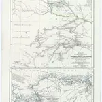 Karte der Quellgebiete der Flüsse Wichita, Brazos, Colorado &c im innern von Nord-Amerika1859|Petermann, Augustc
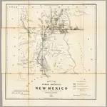 Sketch of Public Surveys in New Mexico 18631863|U.S. General Land Office1:152 000d
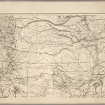 Map of the States of Kansas and Texas and Indian Territory1875|U.S. War Department1:1 530 000d
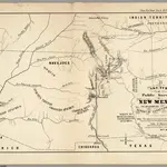 Sketch of Public Surveys in New Mexico 18551855|U.S. General Land Office1:380 160d
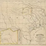 Emigration to Texas. Texas: being a prospectus of the advantages offered to emigrants by the Texan Emigration and Land Company1843b
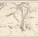 Sketch of Public Surveys in New Mexico 18601860|U.S. General Land Office1:126 720d
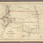 Territory of Kansas And Indian Territory.1857|Rogers, Henry Darwin1:3 453 120d
1600
1650
1700
1750
1800
1850
1900
1950
2000

