Katalogisierte Karte
10 Atlas rural country district north of New York City.

Einrichtung:The David Rumsey Map Collection
Vollständiger Titel:10 Atlas rural country district north of New York City.
Jahr der Abbildung:1908
Veröffentlichungsdatum:1908
Herausgeber:E. Belcher Hyde
Maßstab der Karte:1:18 000
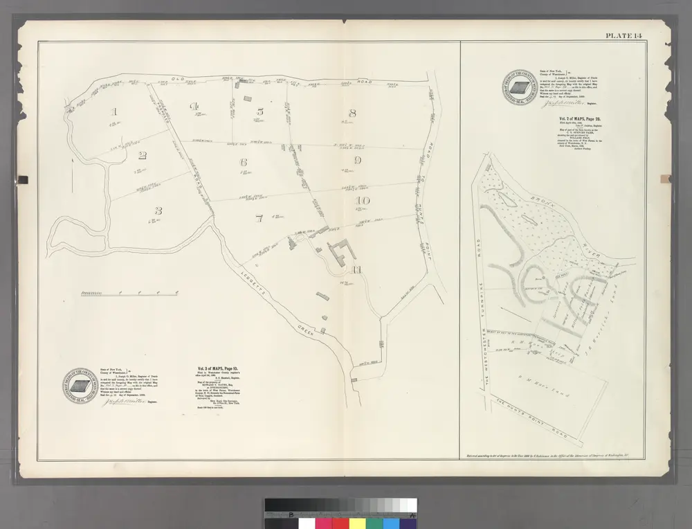
Plate 14: Vol. 3 of Maps, Page 10. [Bounded by Old Road, Road to Hunt's Point and (Homestead Farms of Thos. Leggett) Leggetts Creek.] - Vol 2. of Maps, Page 28. [Bounded by Bronx River, The Hunt's Point Road and The Westchester Turnpike Road.]
1888
Mount Kisco
1998
1:24k
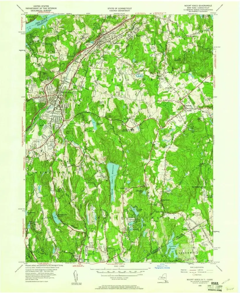
Mount Kisco
1955
1:24k
Mount Kisco
1955
1:24k
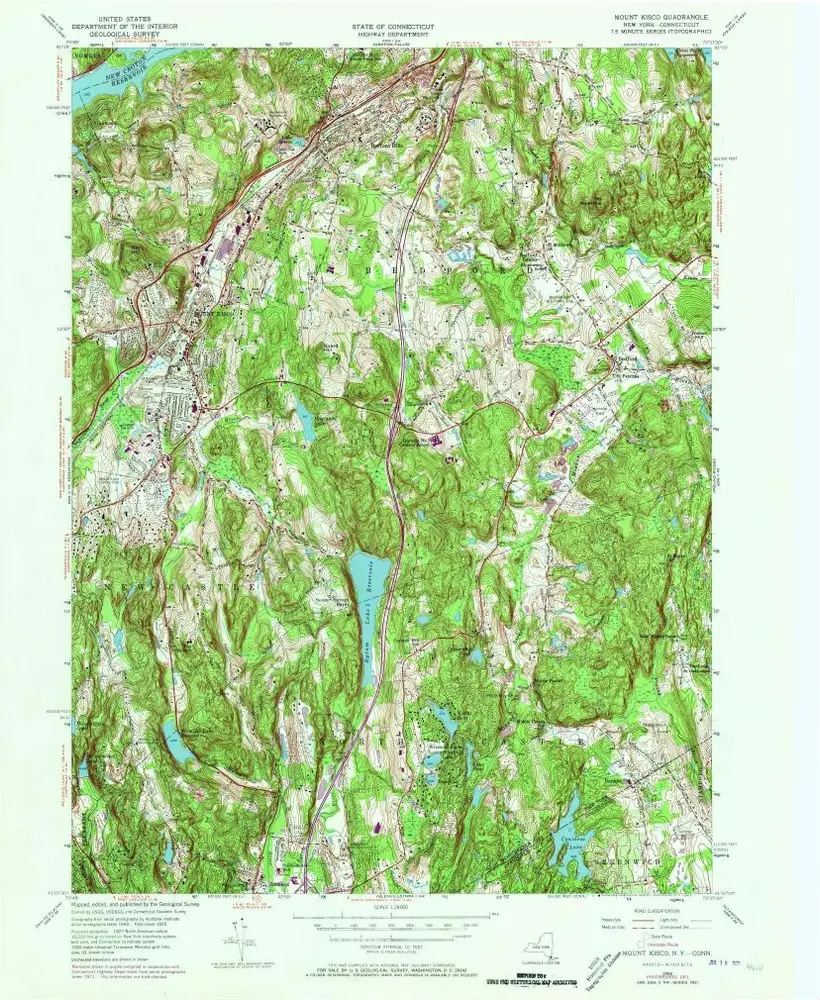
Mount Kisco
1955
1:24k
Mount Kisco
1955
1:24k

Mount Kisco
1955
1:24k
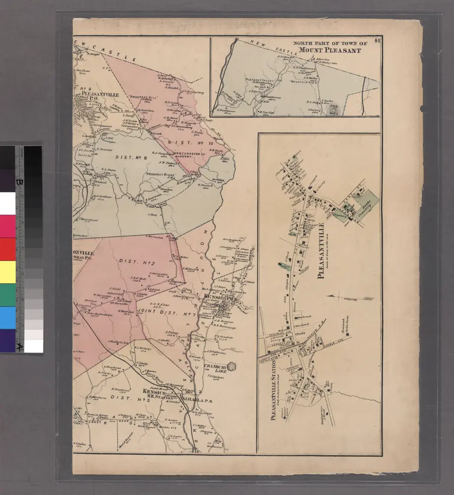
North part of Town of Mount Pleasant - Pleasantville.
1872
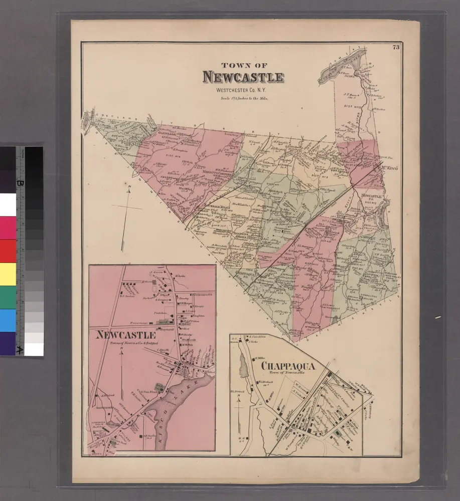
Plate 73: Town of Newcastle, Westchester Co. N.Y.
1872
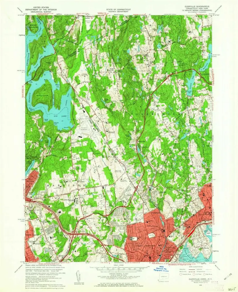
Glenville
1960
1:24k
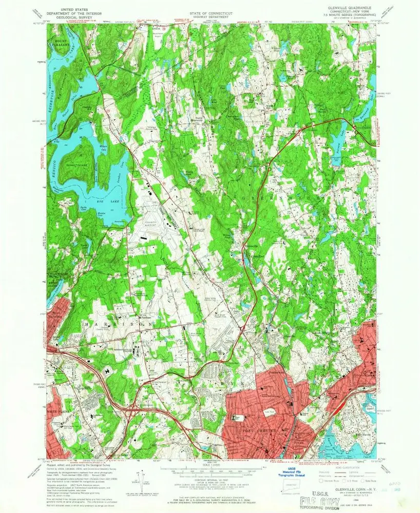
Glenville
1960
1:24k
Glenville
1960
1:24k
Glenville
1960
1:24k
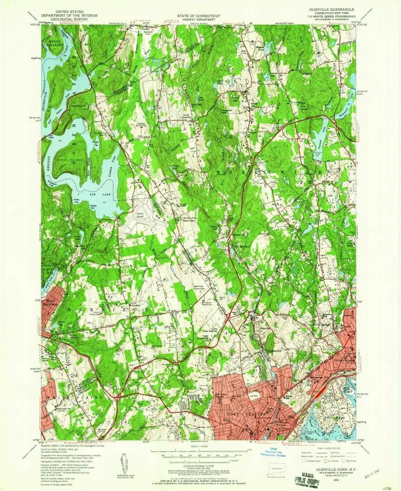
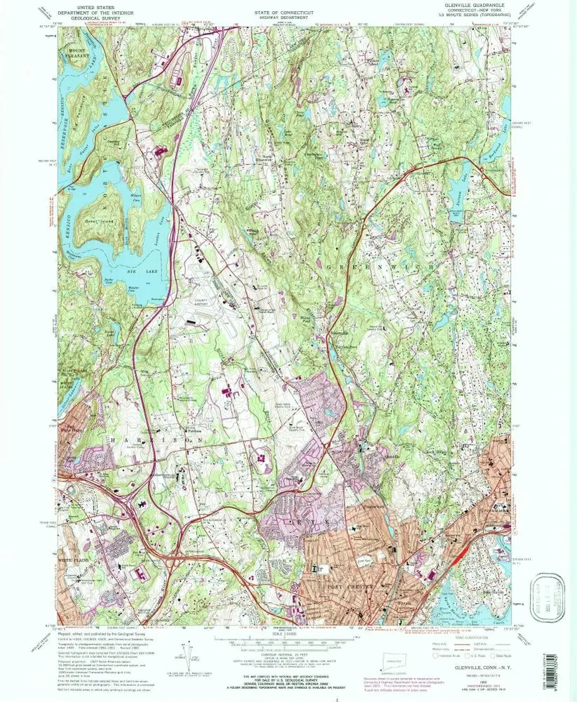
Glenville
1951
1:24k

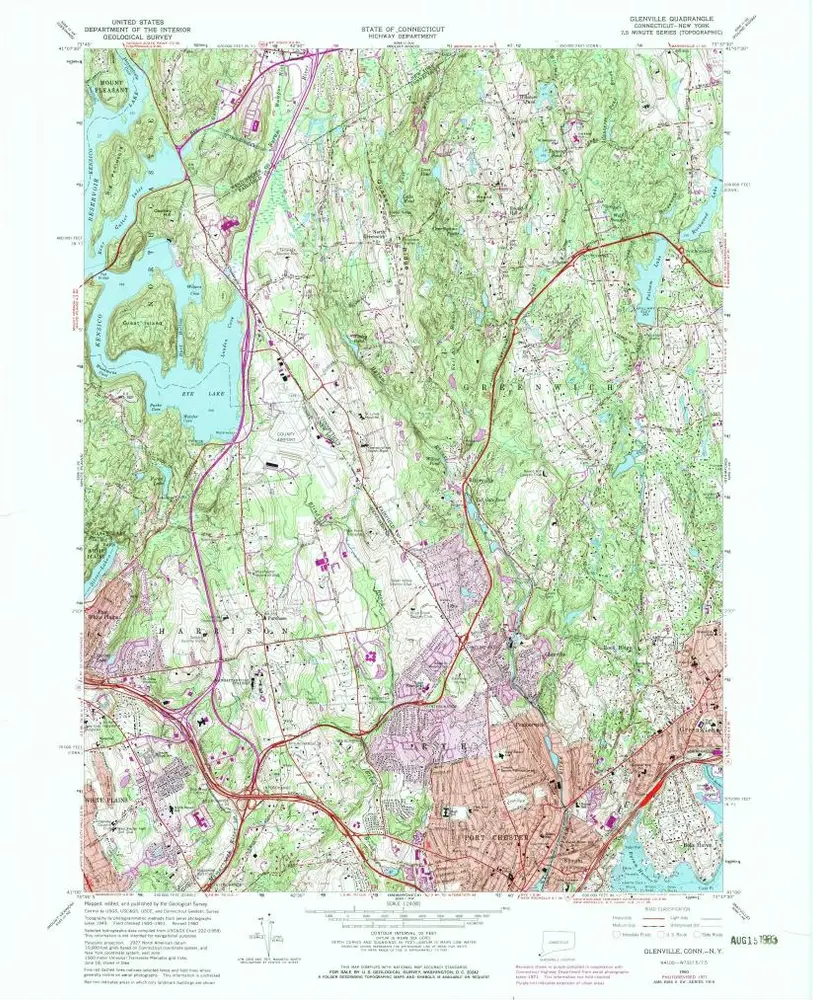
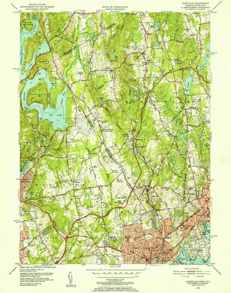
Glenville
1951
1:24k
Glenville
1951
1:32k
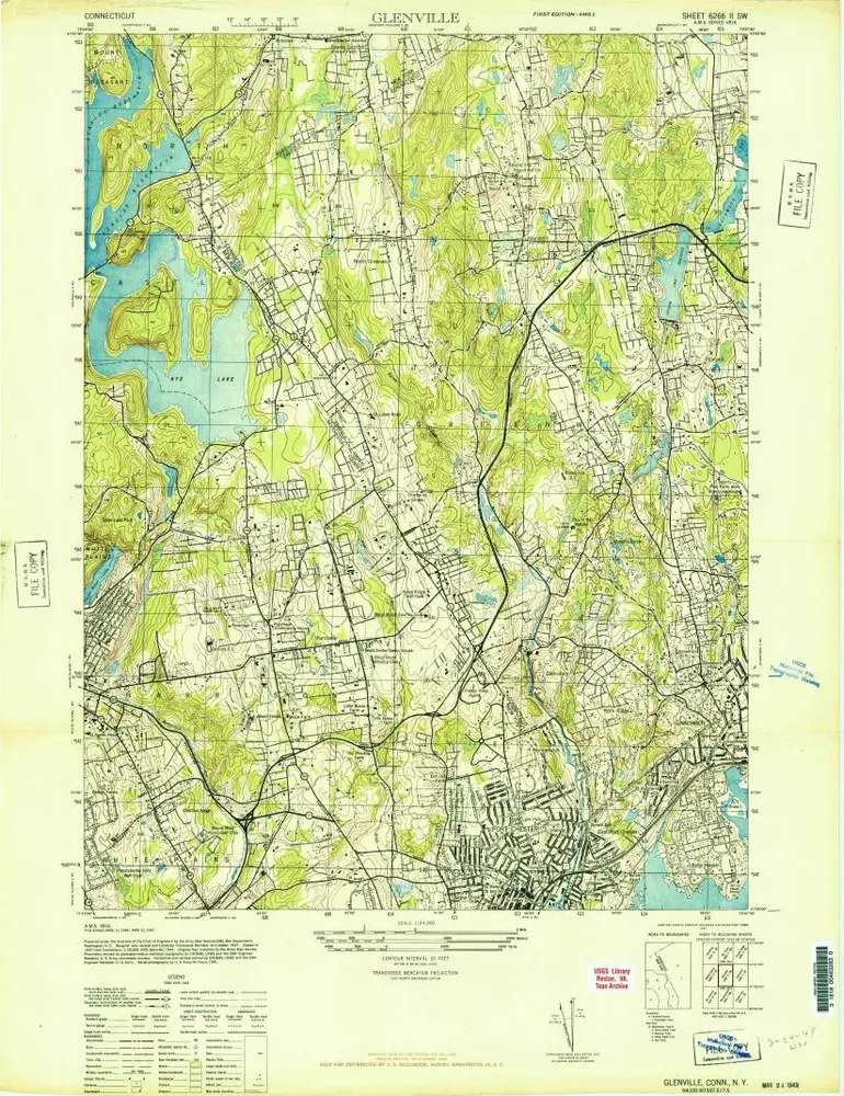
Glenville
1944
1:24k