Skatalogowana mapa
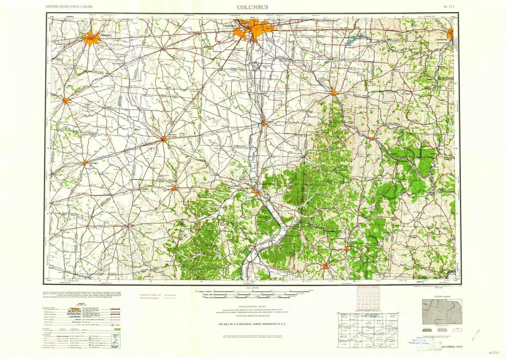
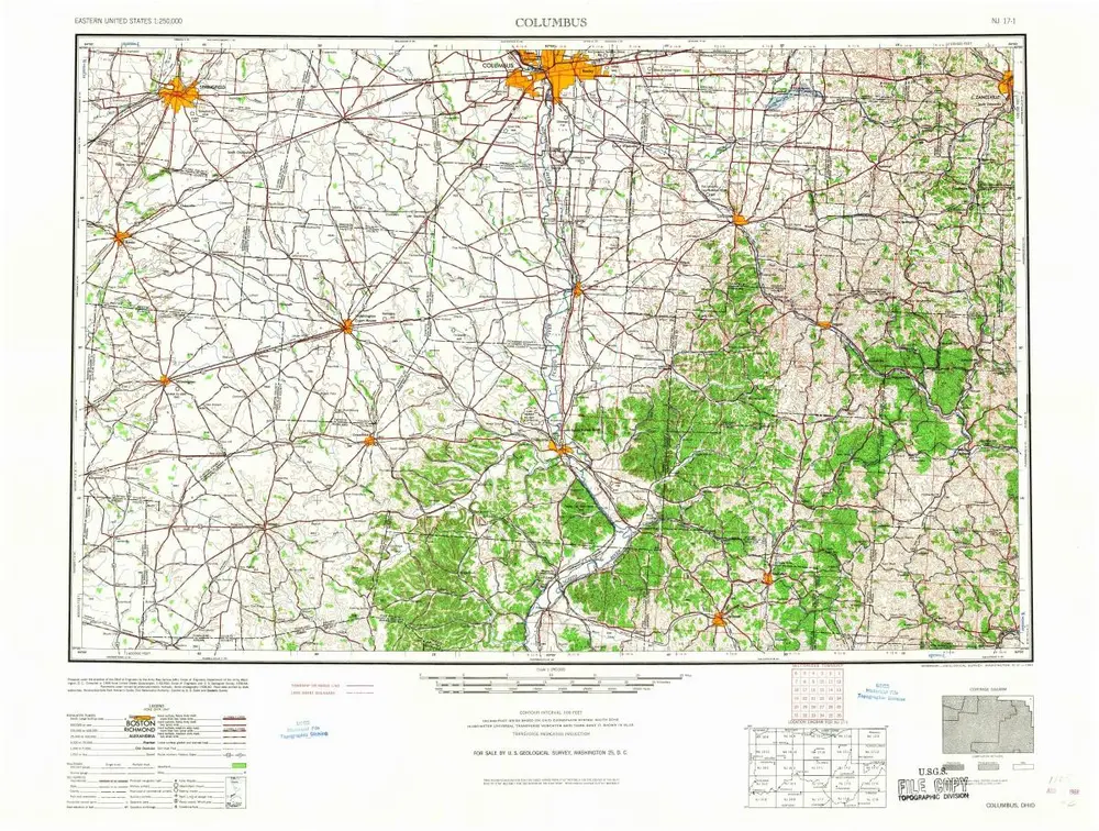
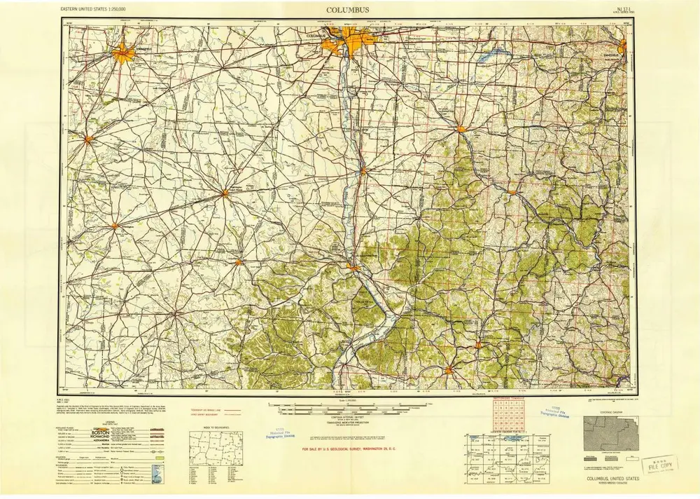
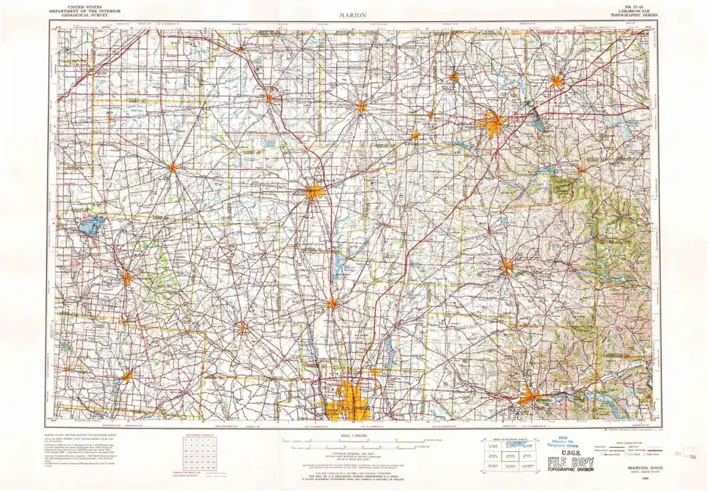
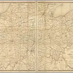
Post route map of the states of Ohio and Indiana with Cinncinnati and environs.
Instytucja:The David Rumsey Map Collection
Pełny tytuł:Post route map of the states of Ohio and Indiana with Cinncinnati and environs.
Rok ilustracji:1884
Data publikacji:1884
Wydawca:Post Office Dept.
Skala mapy:1:506 880