Proyecto
Comunidad
Noticias
Mi aplicación
Mis mapas
Carte cataloguée
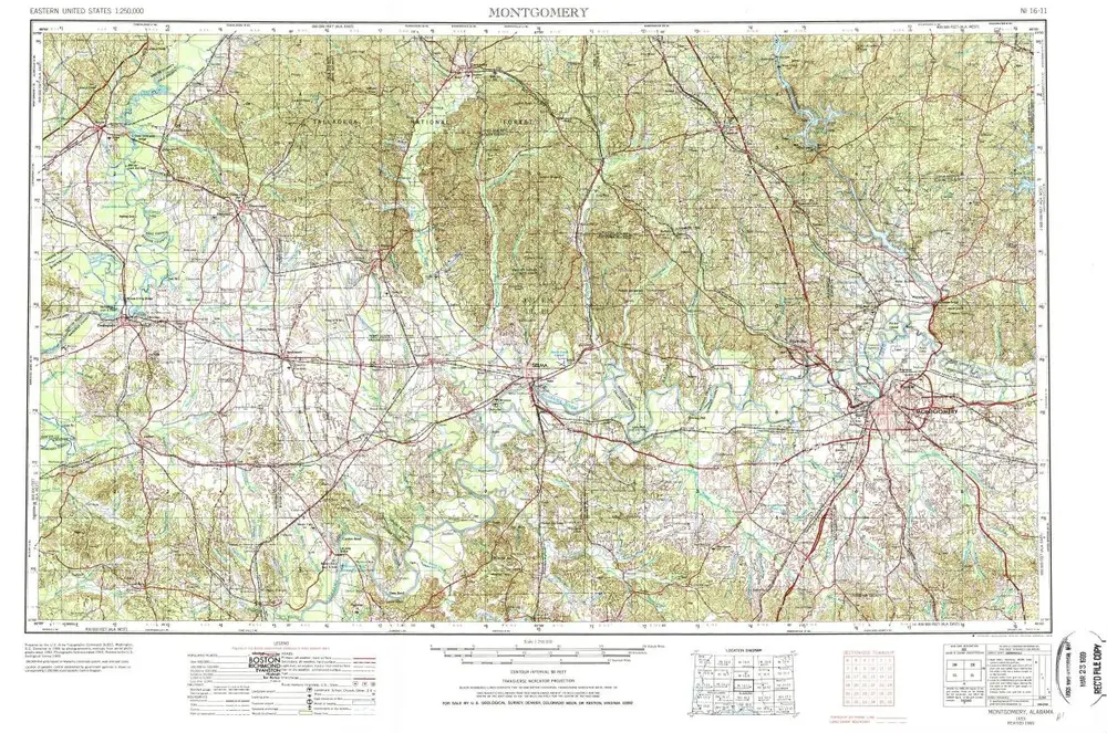
Montgomery
Ver en sitio web externo
Institution:
United States Geological Survey
Titre complet:
Montgomery
Année de l'image:
1953
Date de publication:
1978
Échelle de la carte:
1:250 000
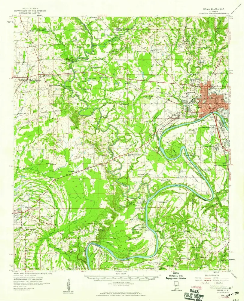
Selma
1958
1:63k
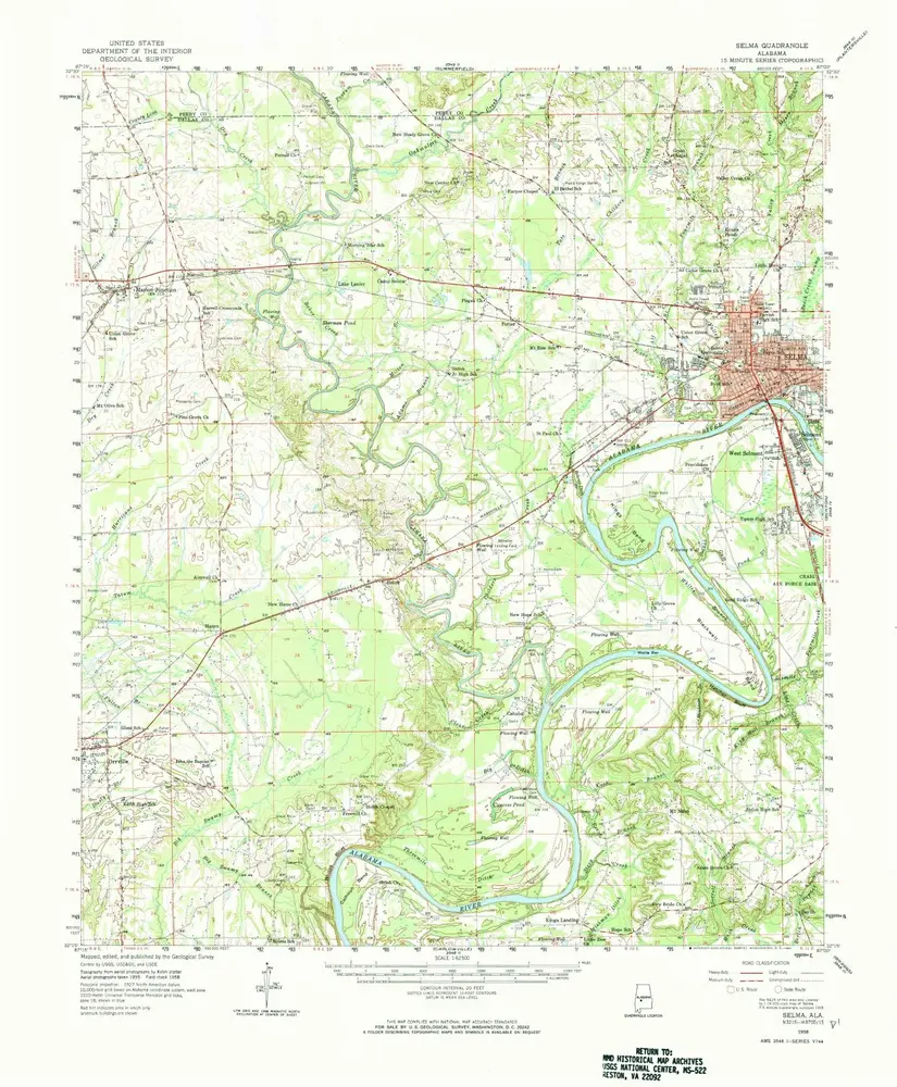
Selma
1958
1:63k
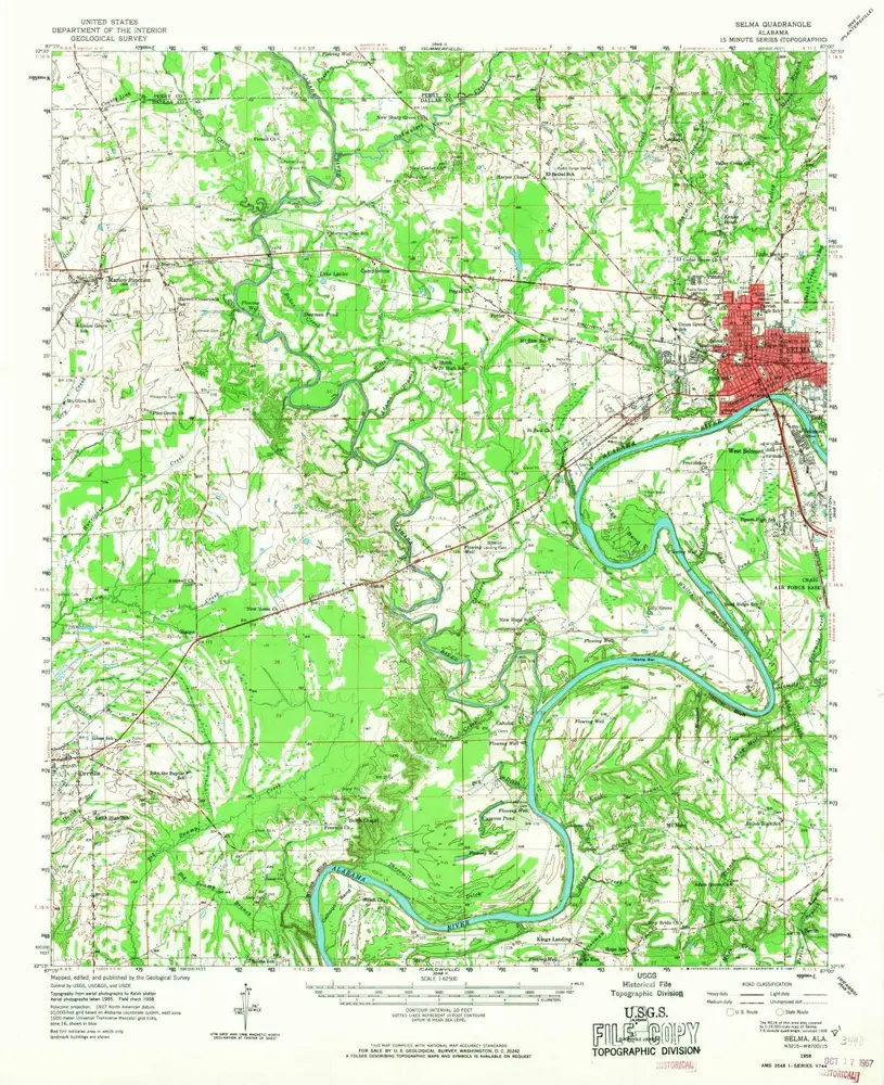
Selma
1958
1:63k
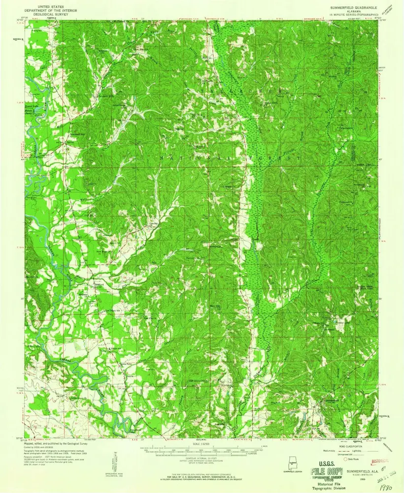
Summerfield
1959
1:63k
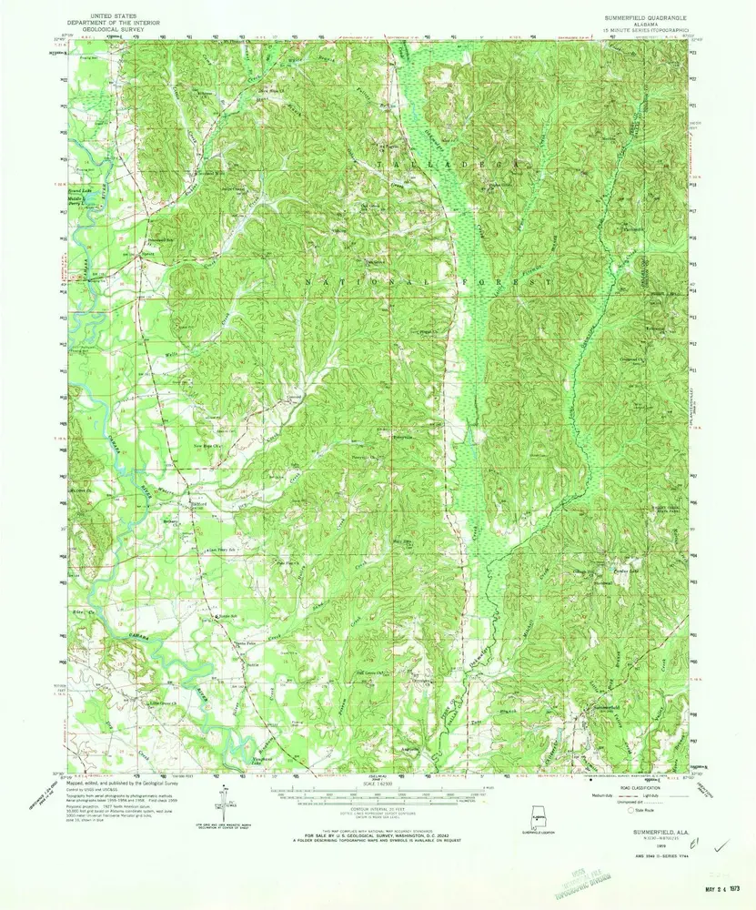
Summerfield
1959
1:63k
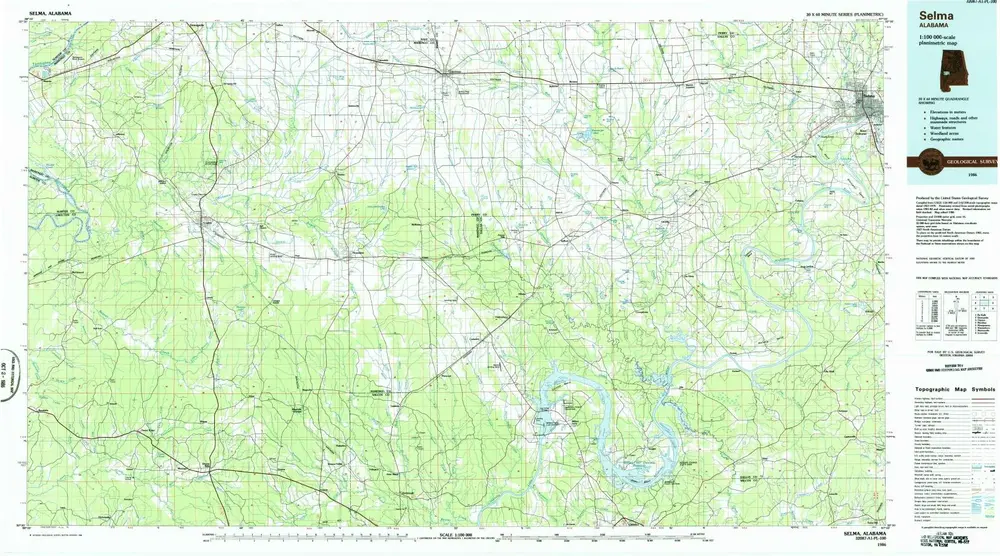
Selma
1986
1:100k
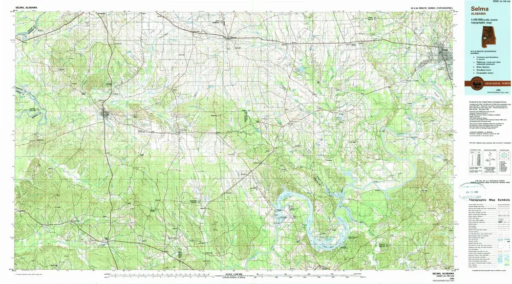
Selma
1986
1:100k
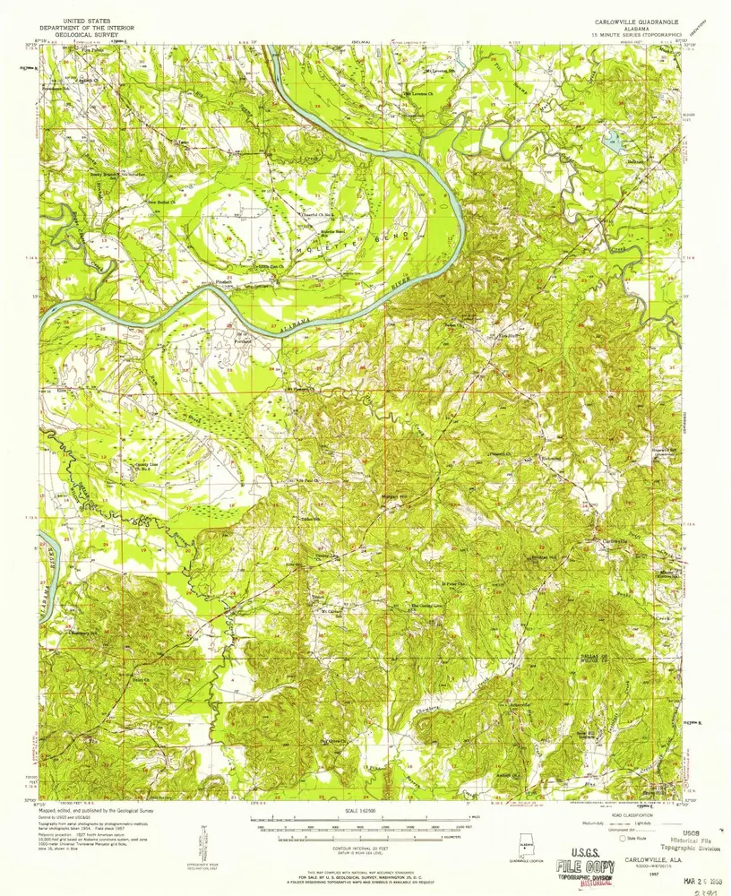
Carlowville
1957
1:63k
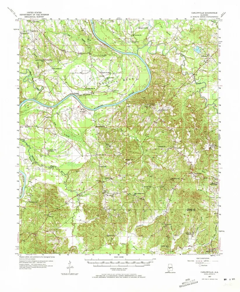
Carlowville
1957
1:63k
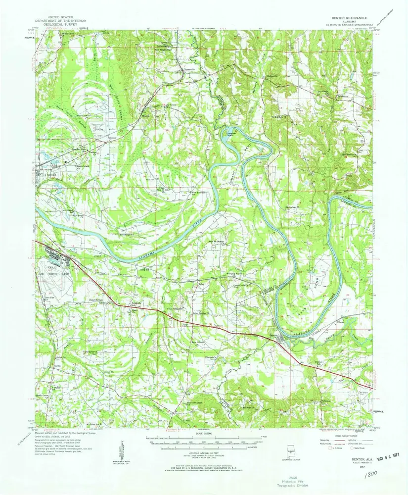
Benton
1957
1:63k
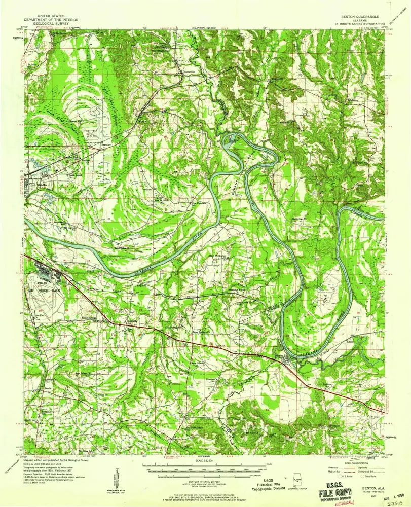
Benton
1957
1:63k
L'histoire