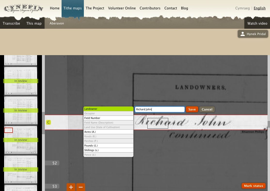
Tithe Maps are interesting source of historical information from 19th century in the United Kingdom.
During our project, we came to a new challenge: Each map was accompanied by a schedule listing each map item by number. Next to it, we needed to create a connection between the map itself and the accompanied listing with further information about the individual parts of the map.

New generation of Georeferencer will be able to handle textual information on the maps and connect the content with another sheets if needed. IIIF technology was used to handle high-resolution scans together with our IIIF viewer. This enabled us to add transcriptions and rotate the maps directly in the web viewer.
The preview of transcription tool is available in the following tutorial:

