

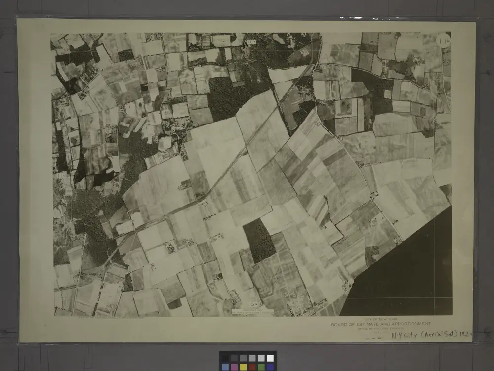
11D - N.Y. City (Aerial Set).
1924
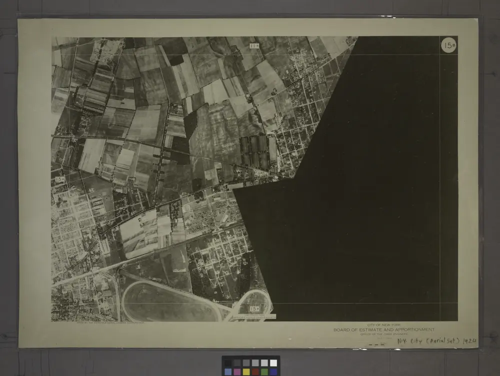
15B - N.Y. City (Aerial Set).
1924
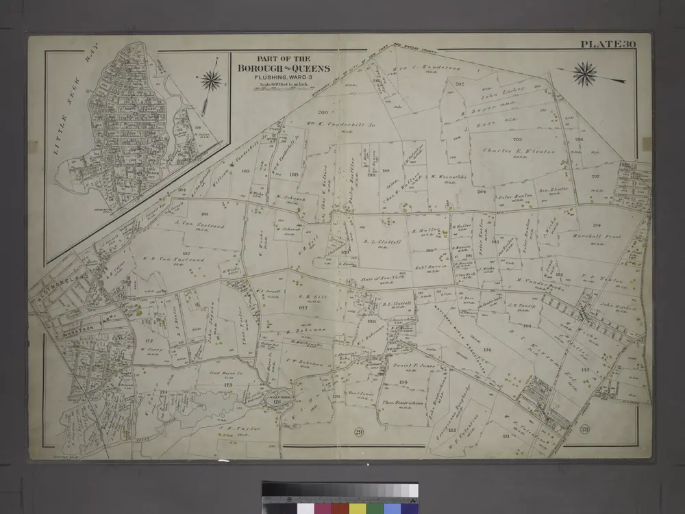
[Plate 30: Bounded by Nassau Road, Broadway, Clinton Avenue, East Alley Road, Little Neck Road, Jericho Turnpike, Rocky Hill Road, Alley Road and Broadway.]
1909
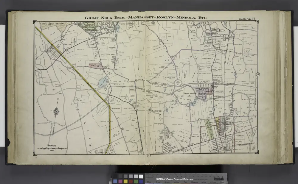
Great Neck Ests. - Manhasset - Roslyn - Mineola, Etc.
1914
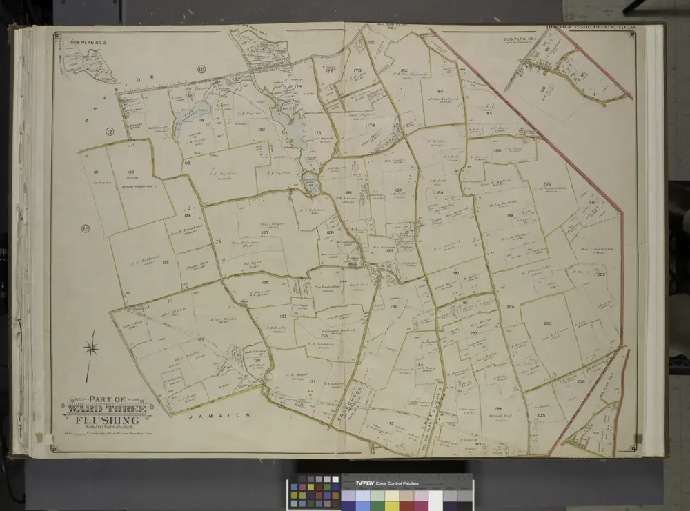
Queens, Vol. 3, Double Page Plate No. 20; Part of ward Three Sub Plan No. 1; [Map bounded by Broadway, Little Neck Road, West end Drive, Lakeville Road]; Part of ward Three Sub Plan No. 2; [Map bounded by Little Neck Bay]; Part of ward Thre
1913
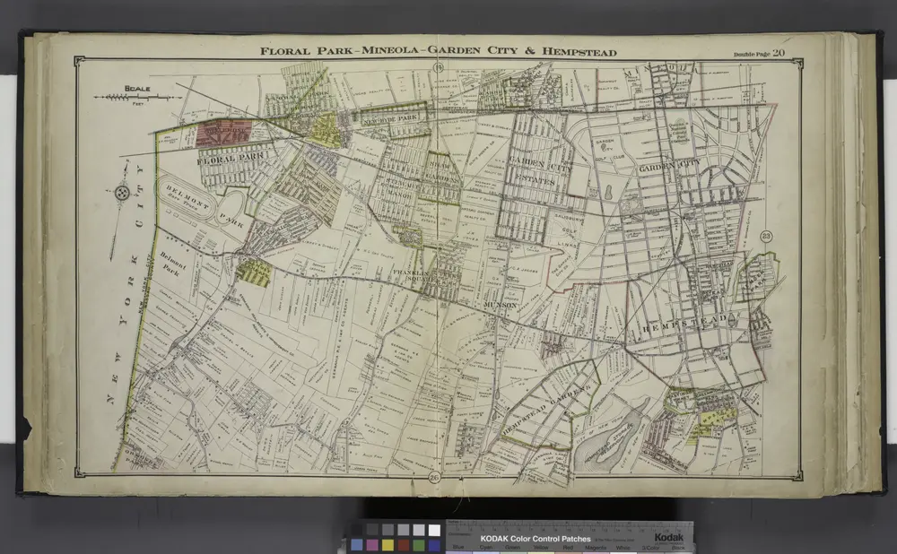
Floral Park - Mineola - Garden City & Hempstead
1914

Flushing, Queens Co. L.I. - Douglaston, Town of Flushing, Queens Co. - Hinsdale, Town of Flushing, Kings Co.
1873
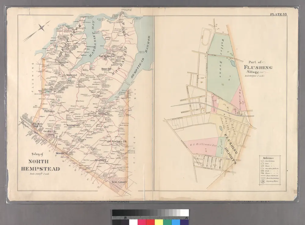
Part of Flushing Village.
1891
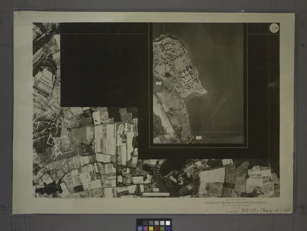
11B - N.Y. City (Aerial Set).
1924
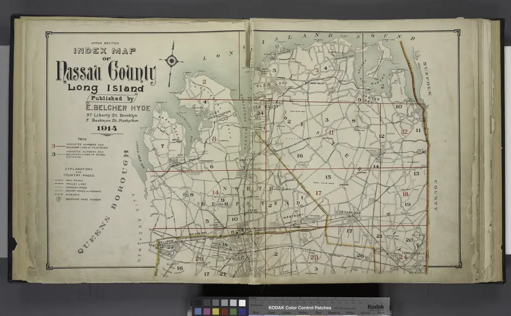
Upper section Index Map of Nassau County Long Island Published by E. Belcher Hype. 97 Liberty St. Brooklyn, 5 Beekman St. Manhattan. 1914.
1914

