

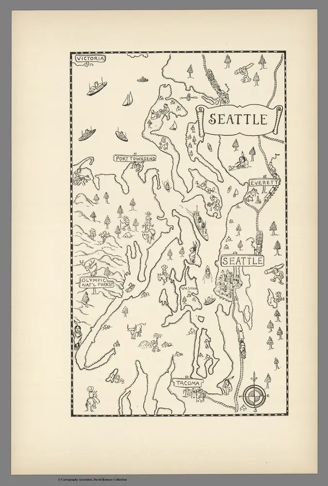
Seattle.
1934
Mora, Jo (1876-1947)
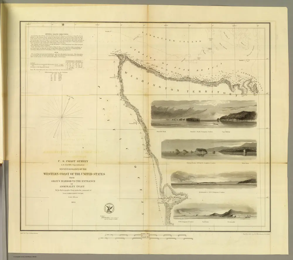
Gray's Harbor-Admiralty Inlet.
1853
Bache, A. D.
1:600k
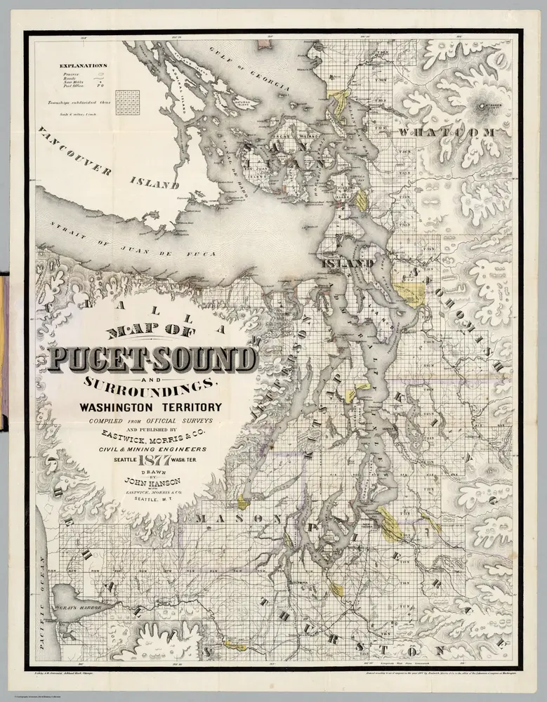
Map Of Puget Sound And Surroundings, Washington Territory.
1877
Hanson, John
1:380k
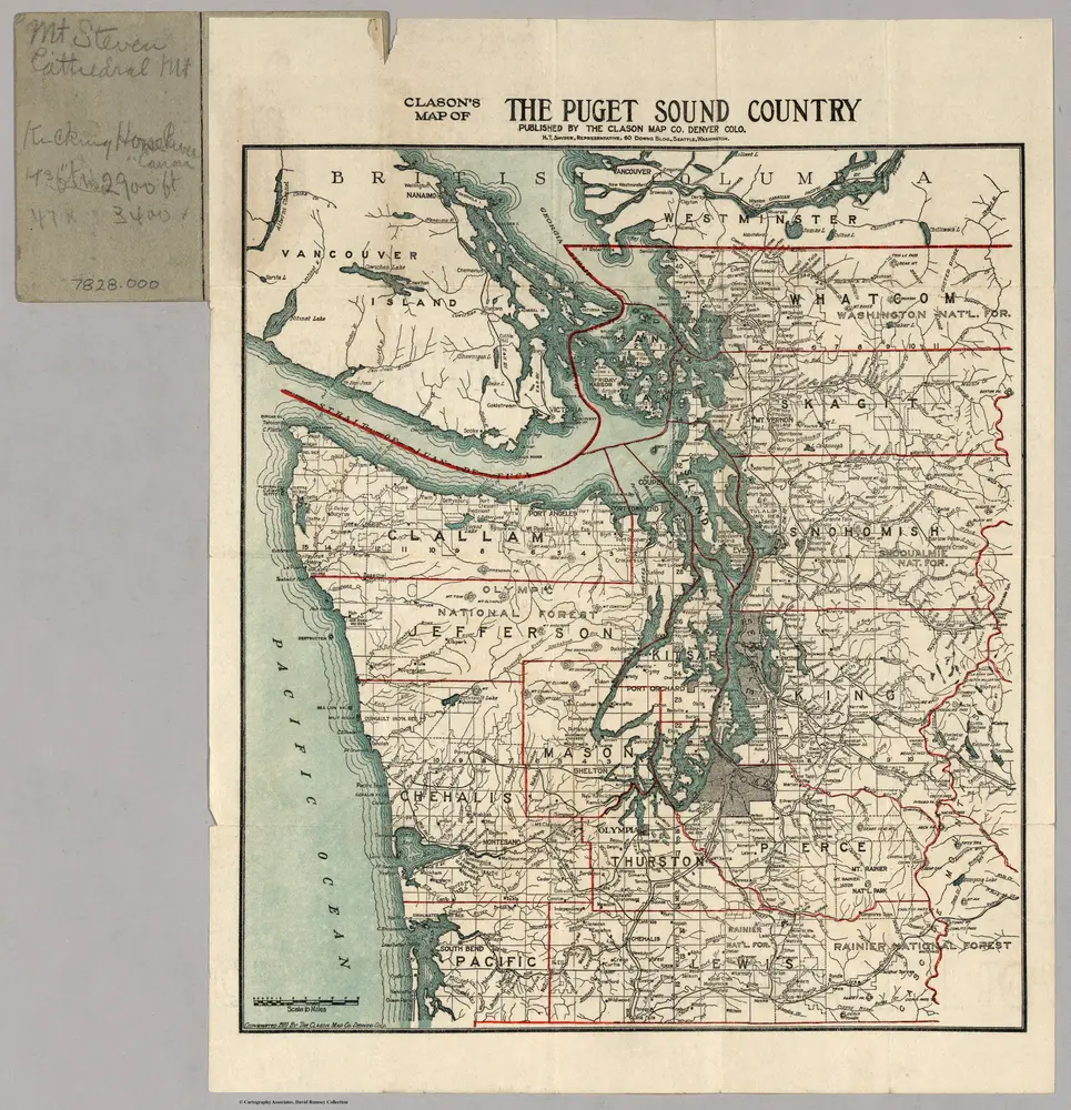
Clason's Map of The Puget Sound Country.
1910
Clason
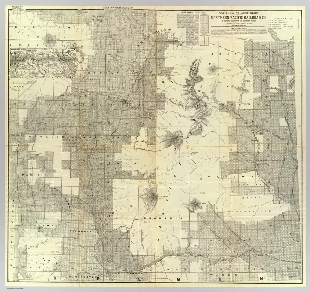
Land grant W. Wash. & N. Oregon.
1888
Northern Pacific Railroad Company
1:380k
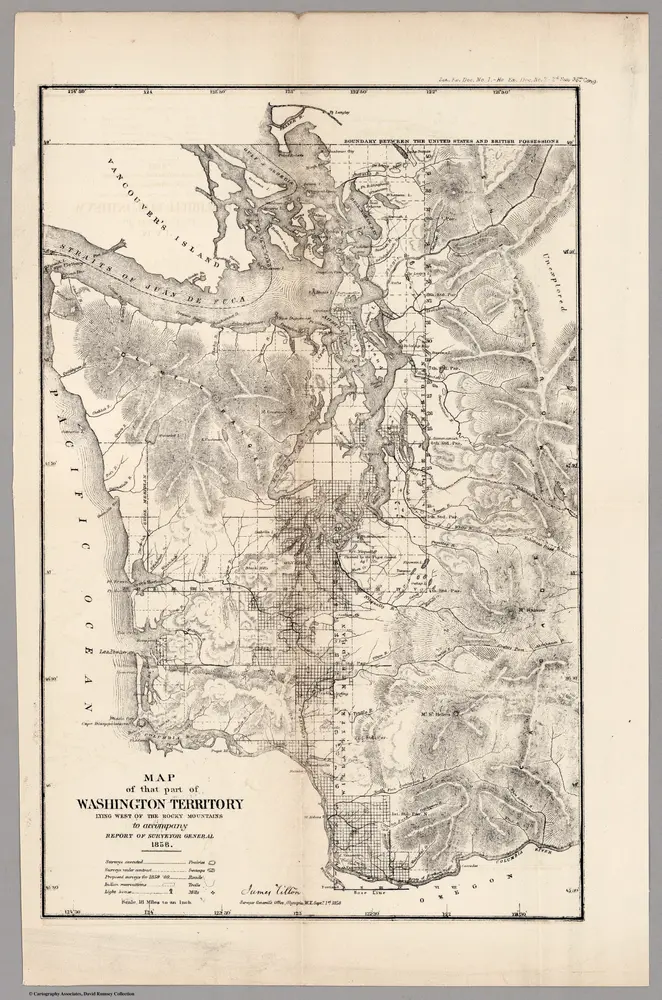
Washington Territory Lying West of the Rocky Mountains,1858
1858
U.S. General Land Office
1:1m
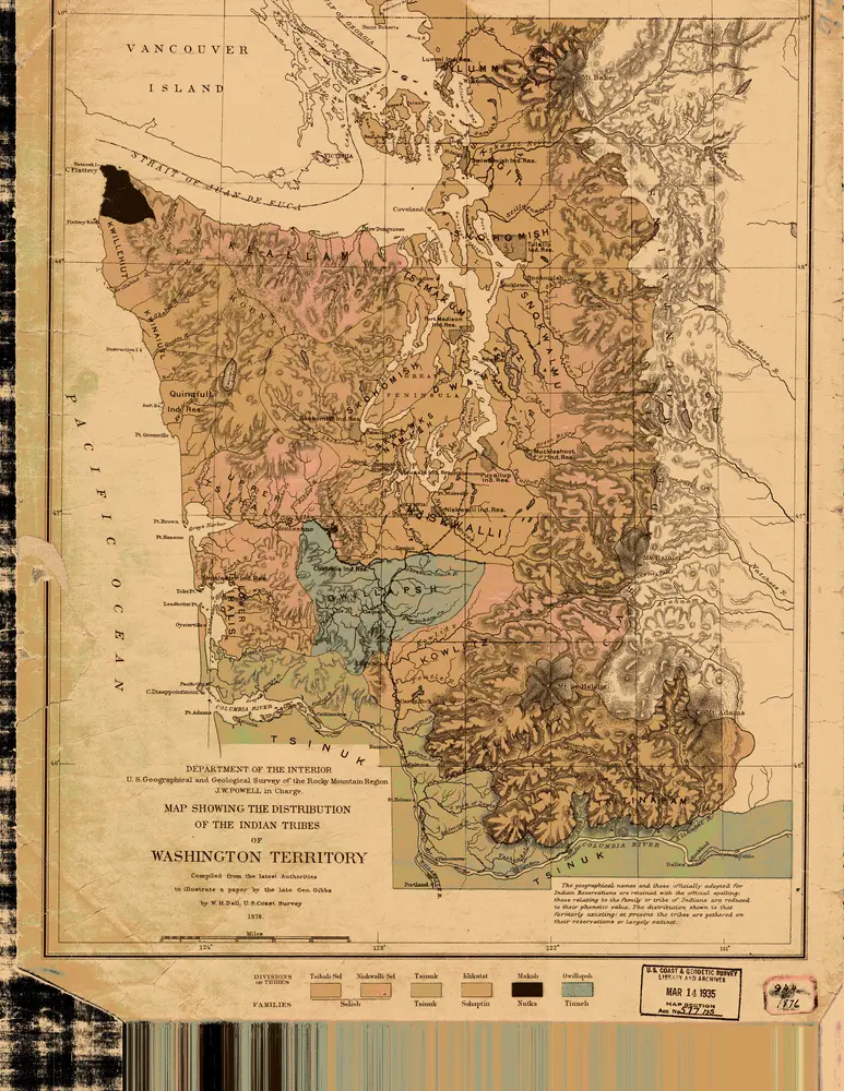
the Distribution of the Indian Tribes of Washington Territory
1876
1:634k
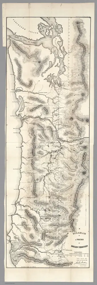
Diagram of a Portion of Oregon Territory, 1852
1852
U.S. General Land Office
1:634k
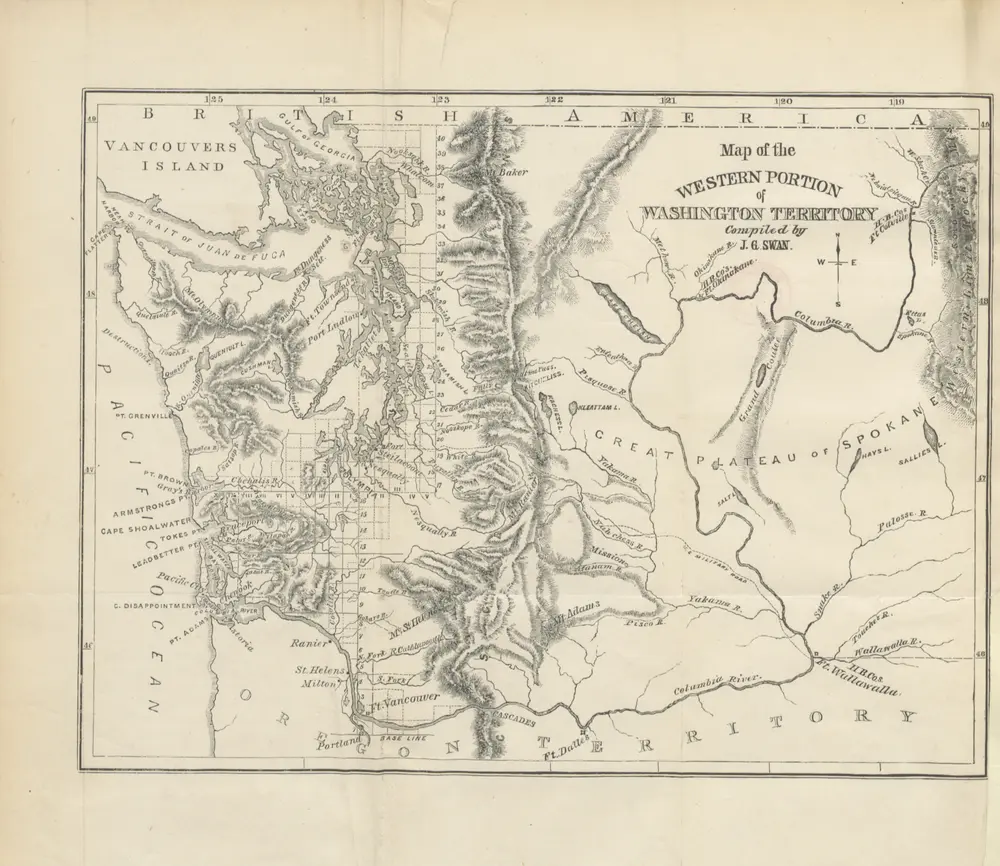
The North-West Coast; or, three years' residence in Washington Territory. ... With ... illustrations
1857
SWAN, James Gilchrist.
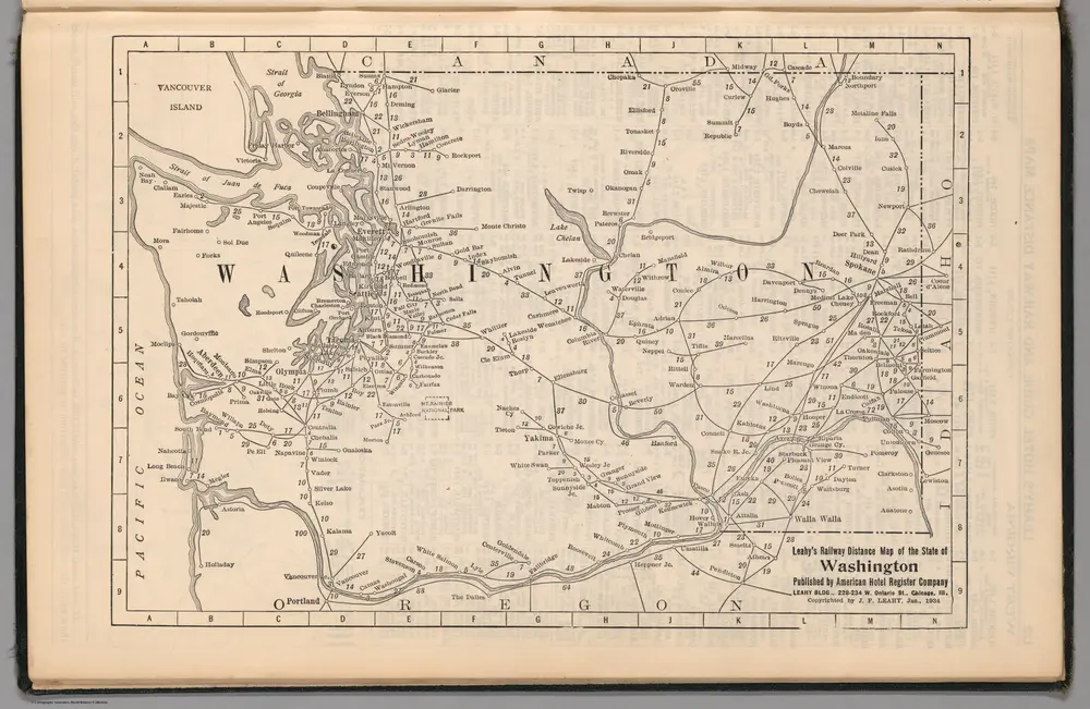
Railway Distance Map of the State of Washington
1934
Leahy, J.F.

