

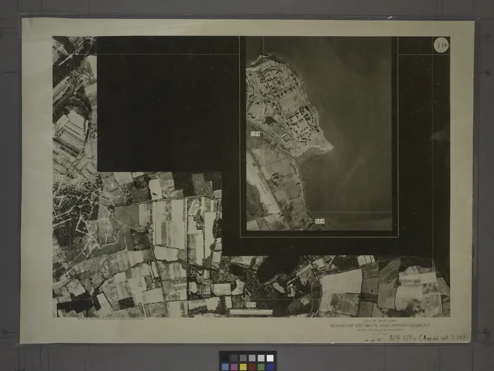
11B - N.Y. City (Aerial Set).
1924
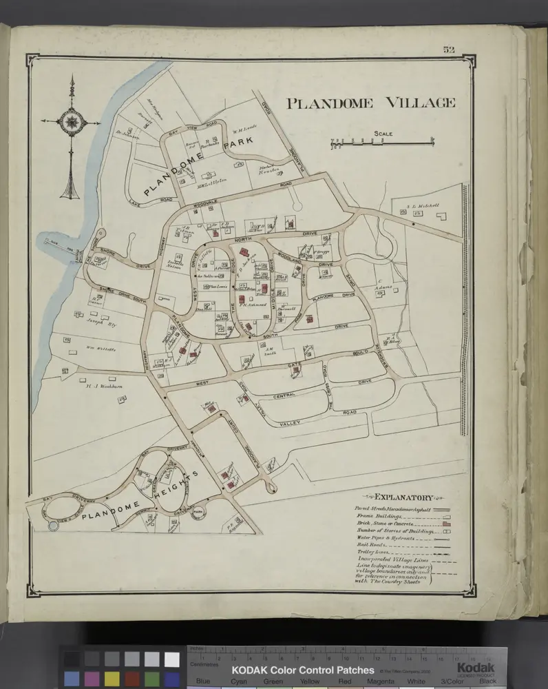
Plandome Village
1914
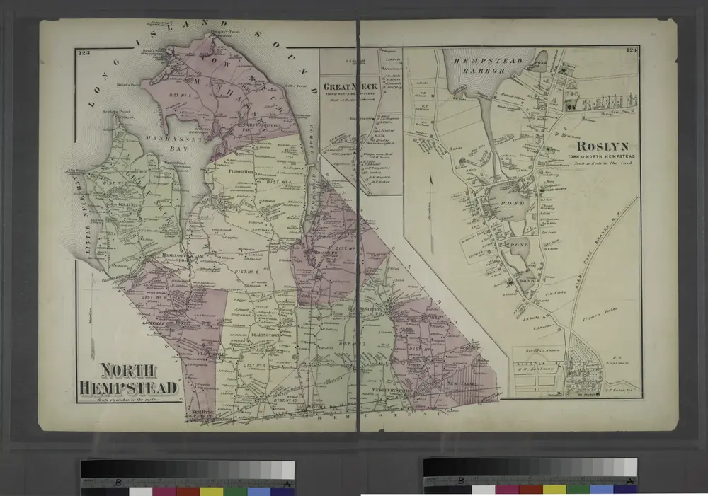
Roslyn, Town of Hempstead.
1873
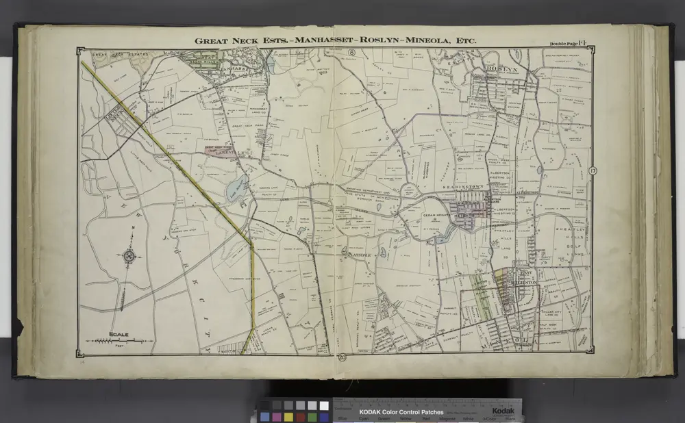
Great Neck Ests. - Manhasset - Roslyn - Mineola, Etc.
1914
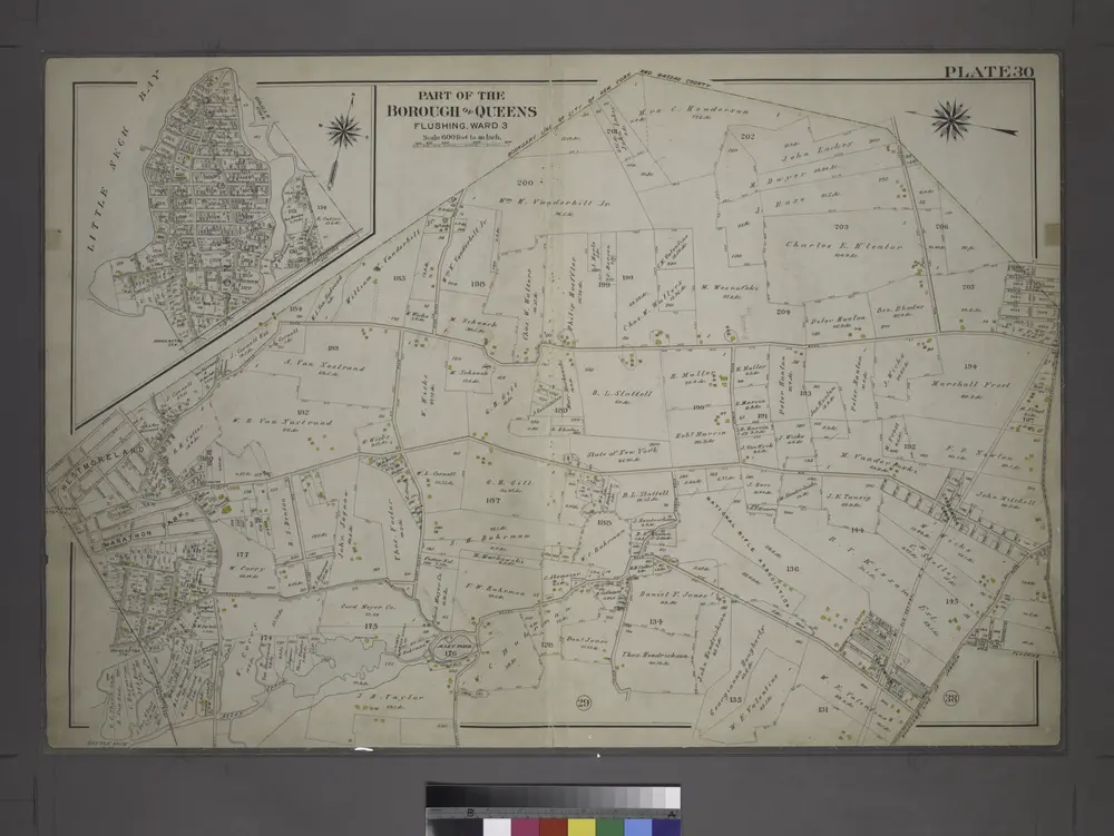
[Plate 30: Bounded by Nassau Road, Broadway, Clinton Avenue, East Alley Road, Little Neck Road, Jericho Turnpike, Rocky Hill Road, Alley Road and Broadway.]
1909

Flushing, Queens Co. L.I. - Douglaston, Town of Flushing, Queens Co. - Hinsdale, Town of Flushing, Kings Co.
1873
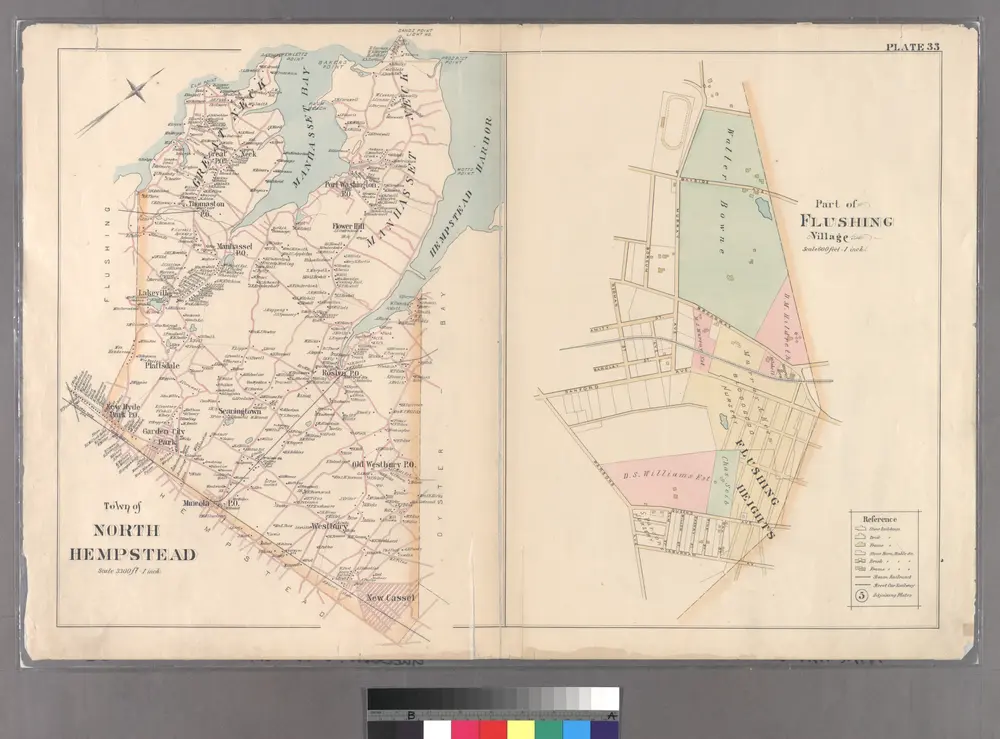
Part of Flushing Village.
1891
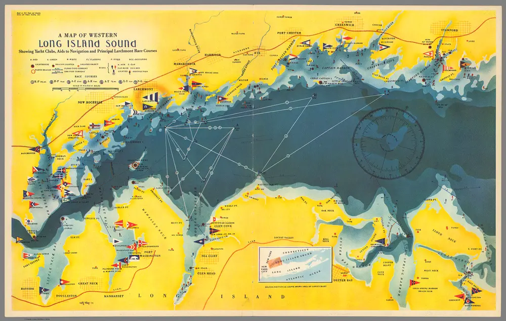
Map of Western Long Island Sound Showing Yacht Clubs, Aids to Navigation etc.
1939
Klep, Rolf
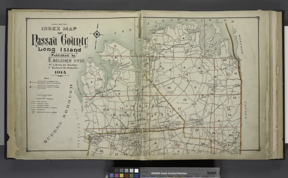
Upper section Index Map of Nassau County Long Island Published by E. Belcher Hype. 97 Liberty St. Brooklyn, 5 Beekman St. Manhattan. 1914.
1914
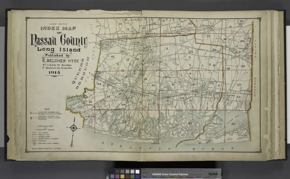
Lower section Index Map of Nassau County Long Island Published by E. Belcher Hype. 97 Liberty St. Brooklyn, 5 Beekman St. Manhattan. 1914.
1914

