

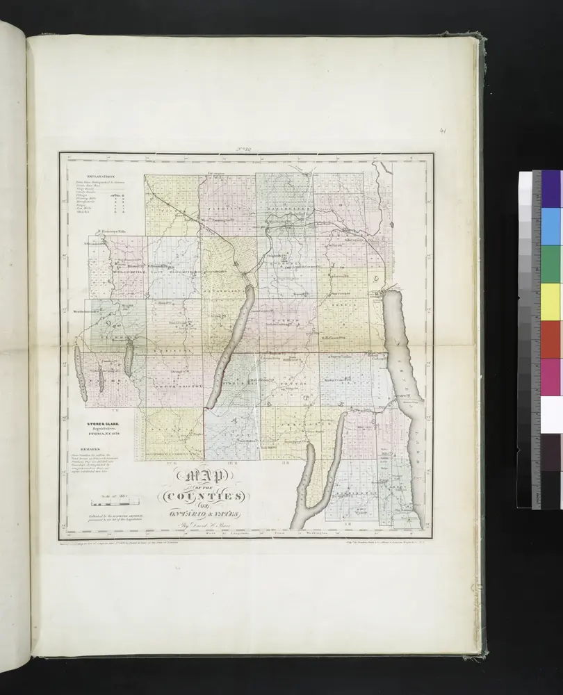
Map of the counties of Ontario & Yates / by David H. Burr ; engd. by Rawdon, Clark & Co., Albany, & Rawdon, Wright & Co., N.Y.
1829
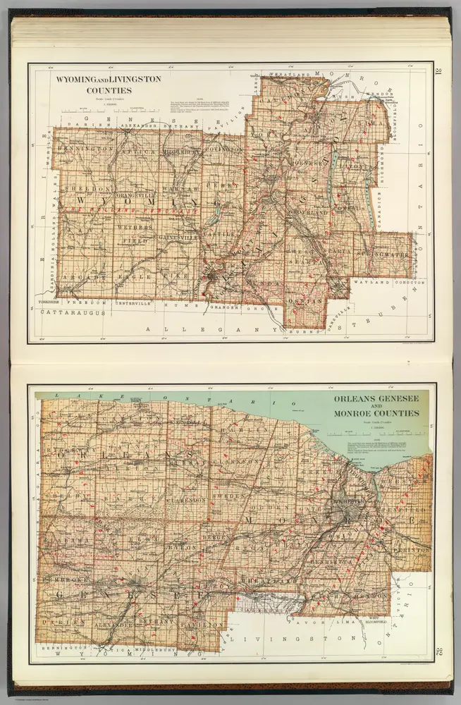
Wyoming, Livingston, Orleans, Genesee, Monroe counties.
1895
Bien, Joseph Rudolf
1:158k
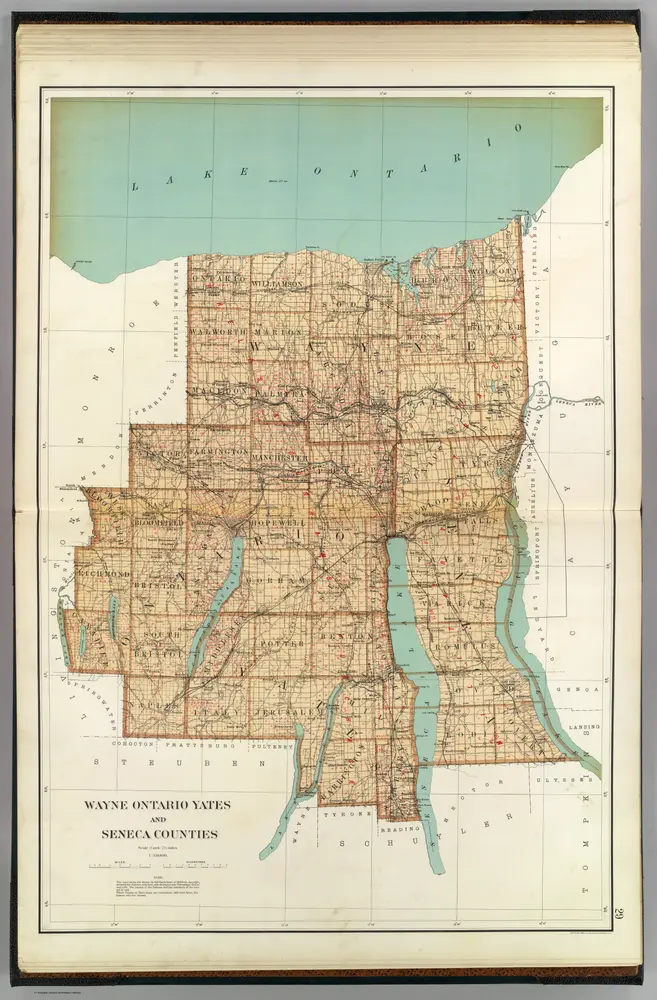
Wayne, Ontario, Yates, Seneca counties.
1895
Bien, Joseph Rudolf
1:158k
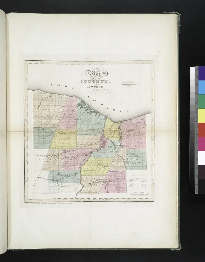
Map of the county of Monroe / by David H. Burr ; engd. by Rawdon, Clark & Co., Albany, & Rawdon, Wright & Co., N.Y.
1829
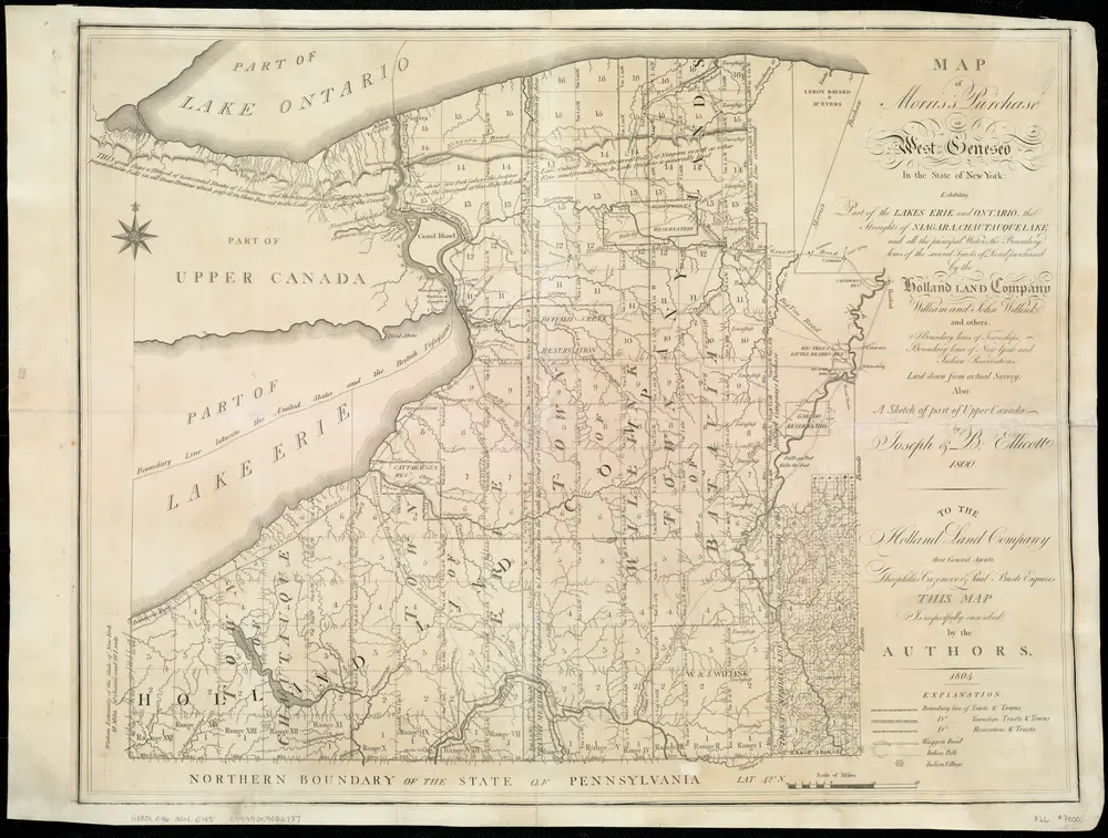
Map of Morris's Purchase or West Geneseo in the state of New York : exhibiting part of the Lakes Erie and Ontario, the Straights of Niagara ...
1804
Ellicott, Joseph
1:336k
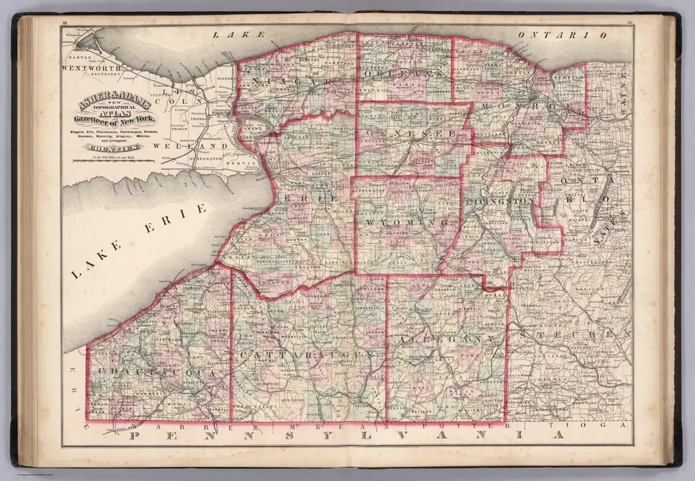
Niagara, Erie, Chautaugua, Cattaraugus, Orleans, Genesee, Wyoming, Allegheny, Monroe, and Livingston Counties, New York.
1870
Asher & Adams
1:400k
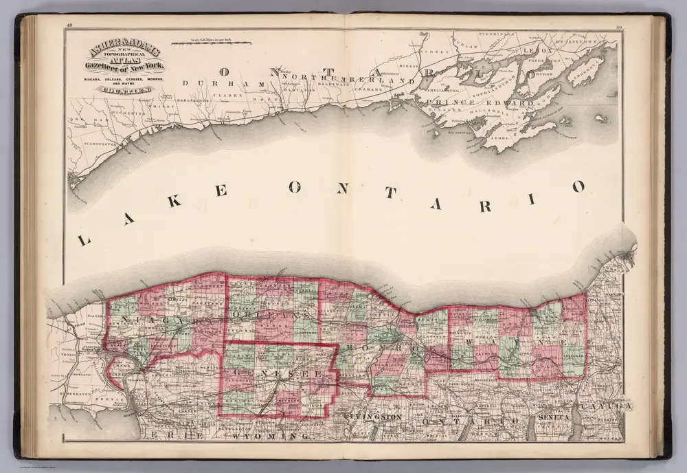
Niagara, Orleans, Genese, Monroe, and Wayne Counties, New York.
1870
Asher & Adams
1:400k
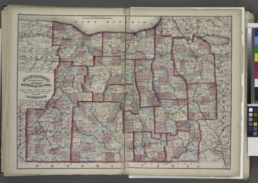
"Monroe, Livingston, Allegany, Wayne, Ontario, Steuben, Yates, Schuyler, Chemung, Seneca, Cayuga, Tompkins, Tioga, Onondaga, and Cortland Counties "
1871
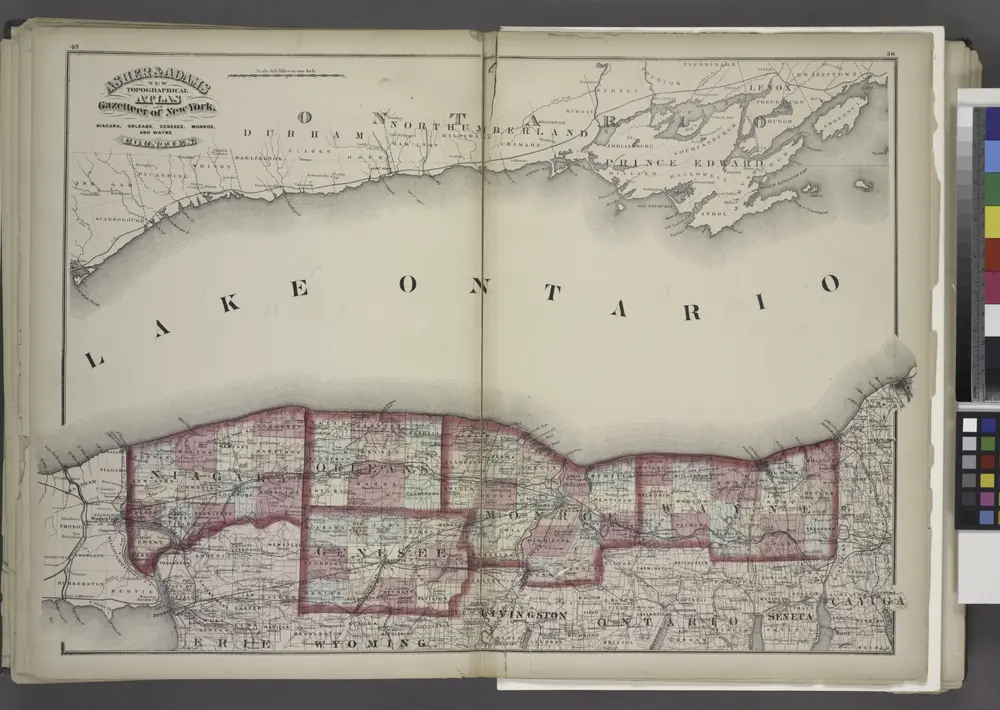
"Niagara, Orleans, Genesee, Monroe, and Wayne counties"
1871

"Niagara, Erie, Chautauqua, Cattaraugus, Orleans, Genesee, Wyoming, Allegany, Monroe, and Livingston Counties"
1871

