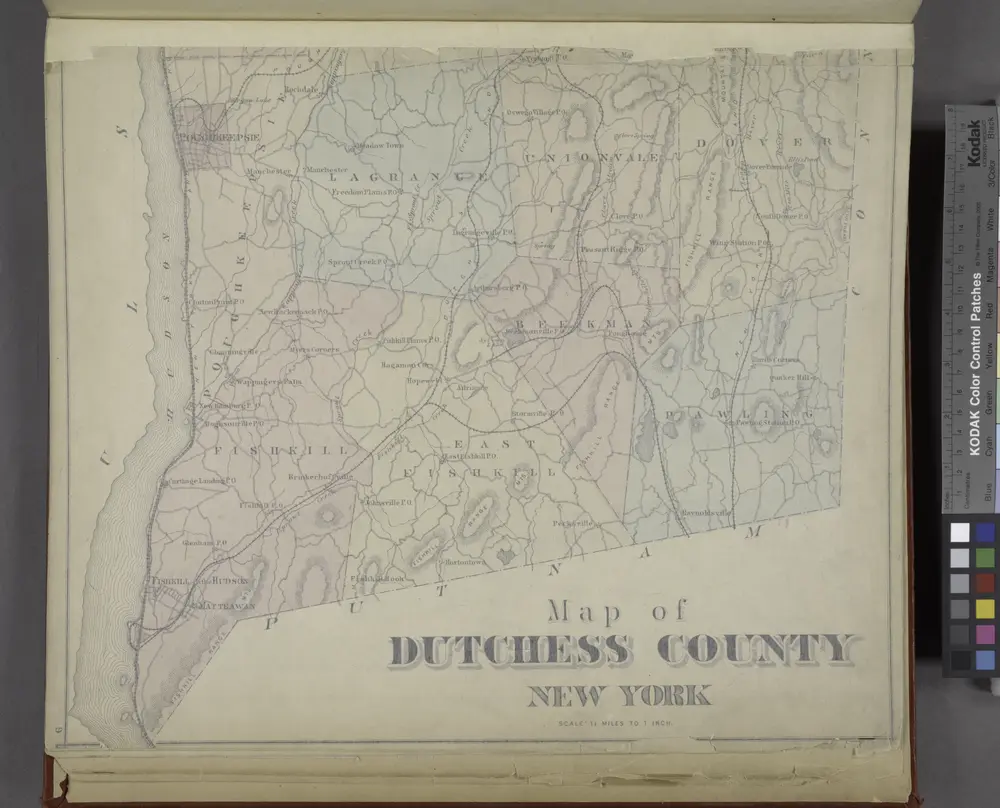
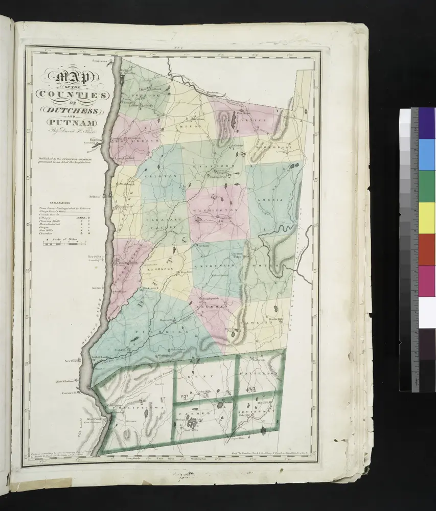
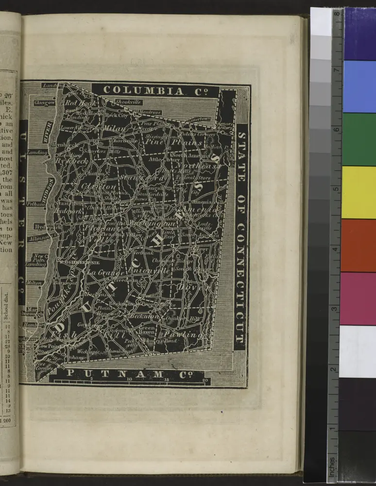

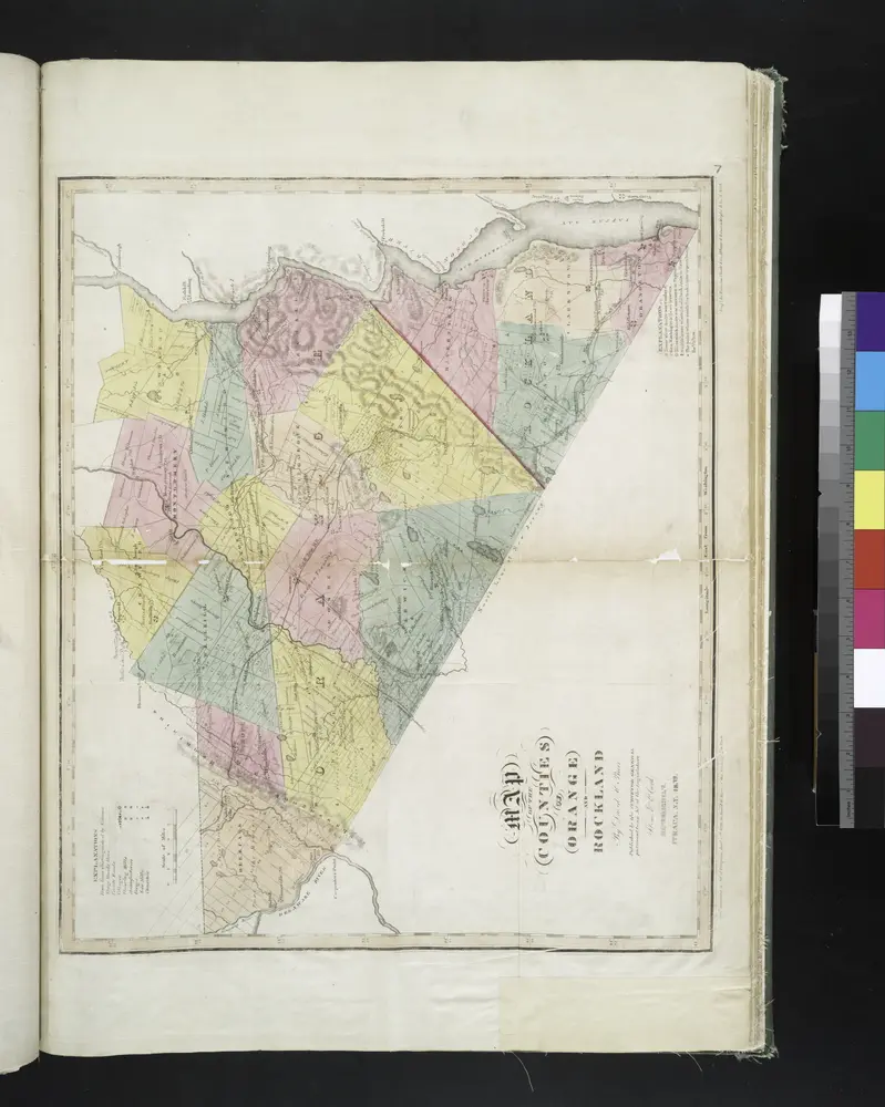
Mapas antiguos de Clintondale, New York
Descubra el pasado de Clintondale, New York en mapas históricos
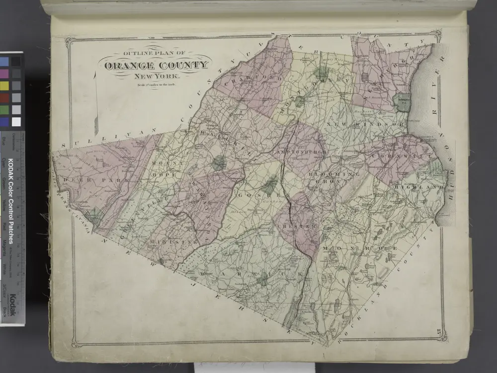
Mapas antiguos de Clintondale, New York
Descubra el pasado de Clintondale, New York en mapas históricos
En busca de un Google Maps API Alternativa?