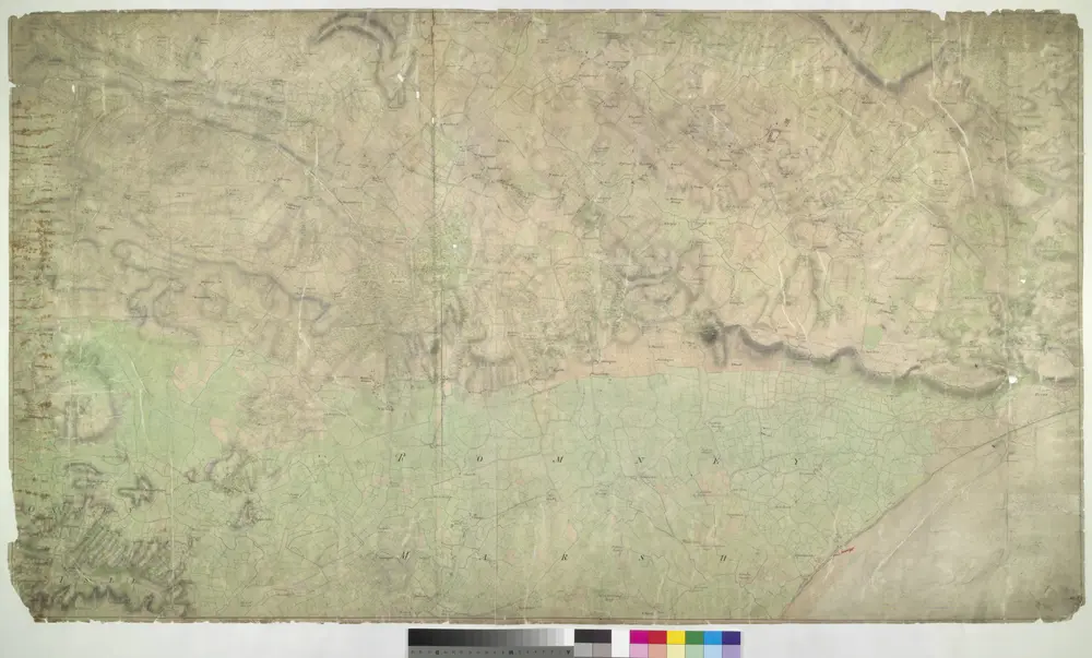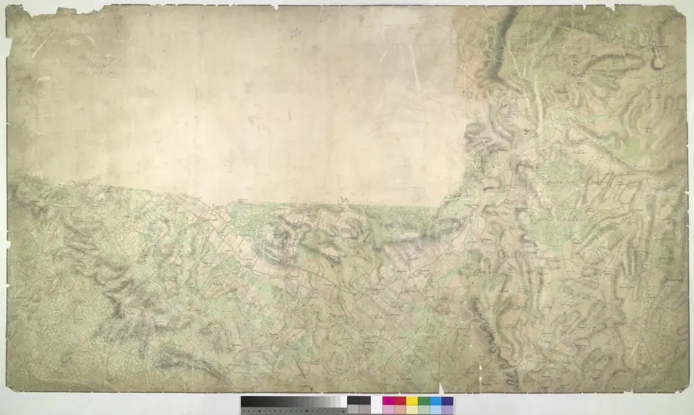


Hythe (Kent)
1797

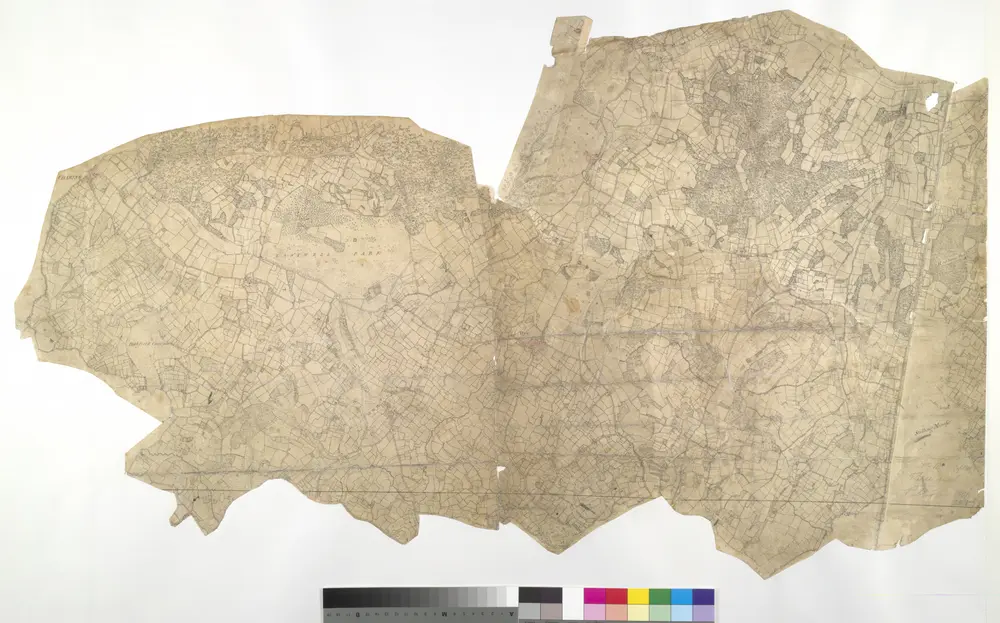
Charing, Kent(002OSD000000017U00375000)
1789

Chilham, Kent 17
1789

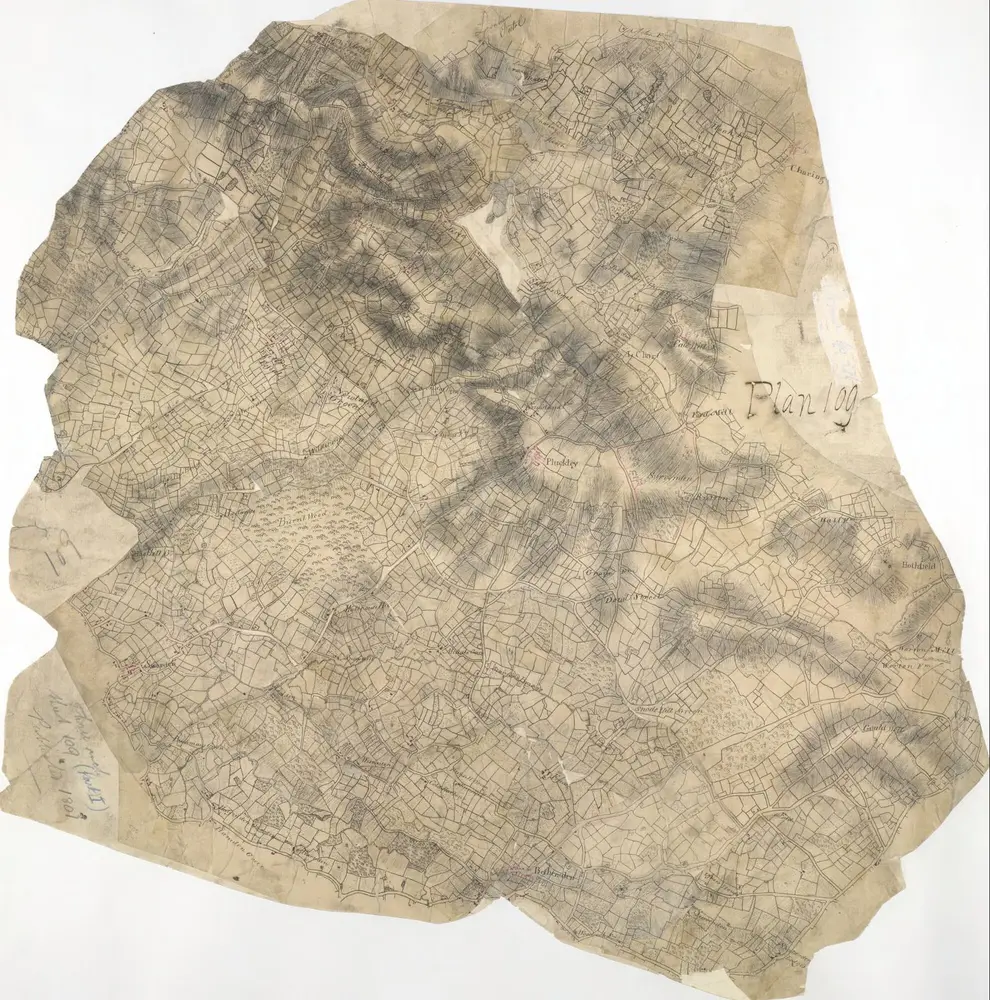
Charing, Kent(002OSD000000017U00376000)
1789

TR04 - OS 1:25,000 Provisional Series Map
1938
Ordnance Survey
1:25k

TR03 - OS 1:25,000 Provisional Series Map
1937
Ordnance Survey
1:25k

TQ94 - OS 1:25,000 Provisional Series Map
1936
Ordnance Survey
1:25k

TQ93 - OS 1:25,000 Provisional Series Map
1936
Ordnance Survey
1:25k

Hastings - OS One-Inch Map
1954
Ordnance Survey
1:63k

Chatham and Maidstone - OS One-Inch Map
1954
Ordnance Survey
1:63k

