خريطة مفهرسة
Plan parcellaire de la commune de Ottignies : avec les mutations

المؤسسة:Royal Library of Belgium
العنوان الكامل:Plan parcellaire de la commune de Ottignies : avec les mutations
مصورة:1840 - 1880
الناشر:Popp, Philippe Christian (1805-1879)
مقياس الخريطة:1:5 000
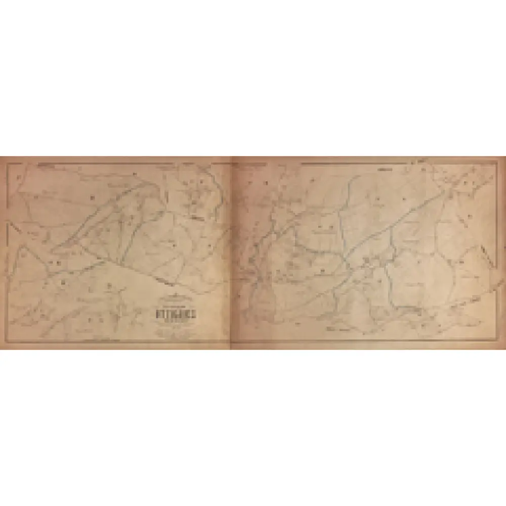
Plan parcellaire de la commune de Rixensart : avec les mutations
1880
Popp, Philippe Christian (1805-1879)
1:5k
Plan parcellaire de la commune de Genval : avec les mutations
1880
Popp, Philippe Christian (1805-1879)
1:5k
Plan parcellaire de la commune de Rosières : avec les mutations
1880
Popp, Philippe Christian (1805-1879)
1:3k
Plan parcellaire de la commune de Limal : avec les mutations
1880
Popp, Philippe Christian (1805-1879)
1:5k
Plan parcellaire de la commune de La Hulpe : avec les mutations
1880
Popp, Philippe Christian (1805-1879)
1:5k
Plan parcellaire de la commune de Over-Yssche : avec les mutations
1880
Popp, Philippe Christian (1805-1879)
1:5k
Plan parcellaire de la commune de Bierges-Lez-Wavre : avec les mutations
1880
Popp, Philippe Christian (1805-1879)
1:5k
Plan parcellaire de la commune de Lasne : avec les mutations
1880
Popp, Philippe Christian (1805-1879)
1:5k

Carte de Belgique au 20.000e / Institut Cartographique Militaire = Kaart van België op een 20.000e
1882
Institut Cartographique Militaire, Brussel
1:20k
Plan parcellaire de la commune de Ohain : avec les mutations
1880
Popp, Philippe Christian (1805-1879)
1:5k