Project
Community
News
My App
My maps
Cataloged map
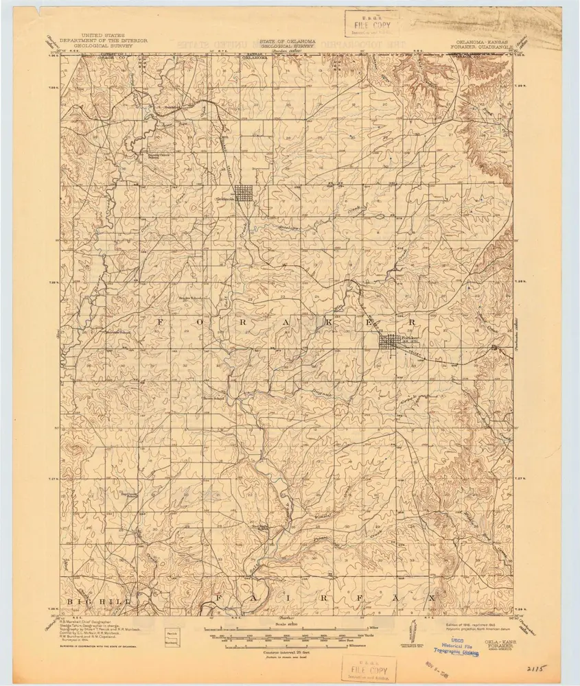
Foraker
View on external website
View digitized
Institution:
United States Geological Survey
Full title:
Foraker
Depicted:
1916
Pubdate:
1945
Map scale:
1:62 500
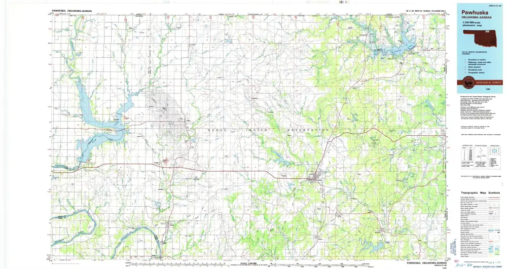
Pawhuska
1985
1:100k
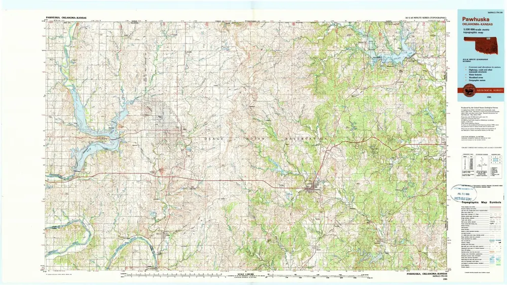
Pawhuska
1985
1:100k
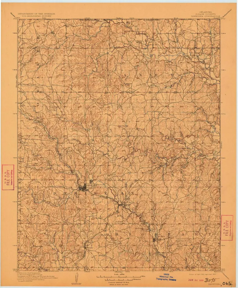
Pawhuska
1910
1:125k
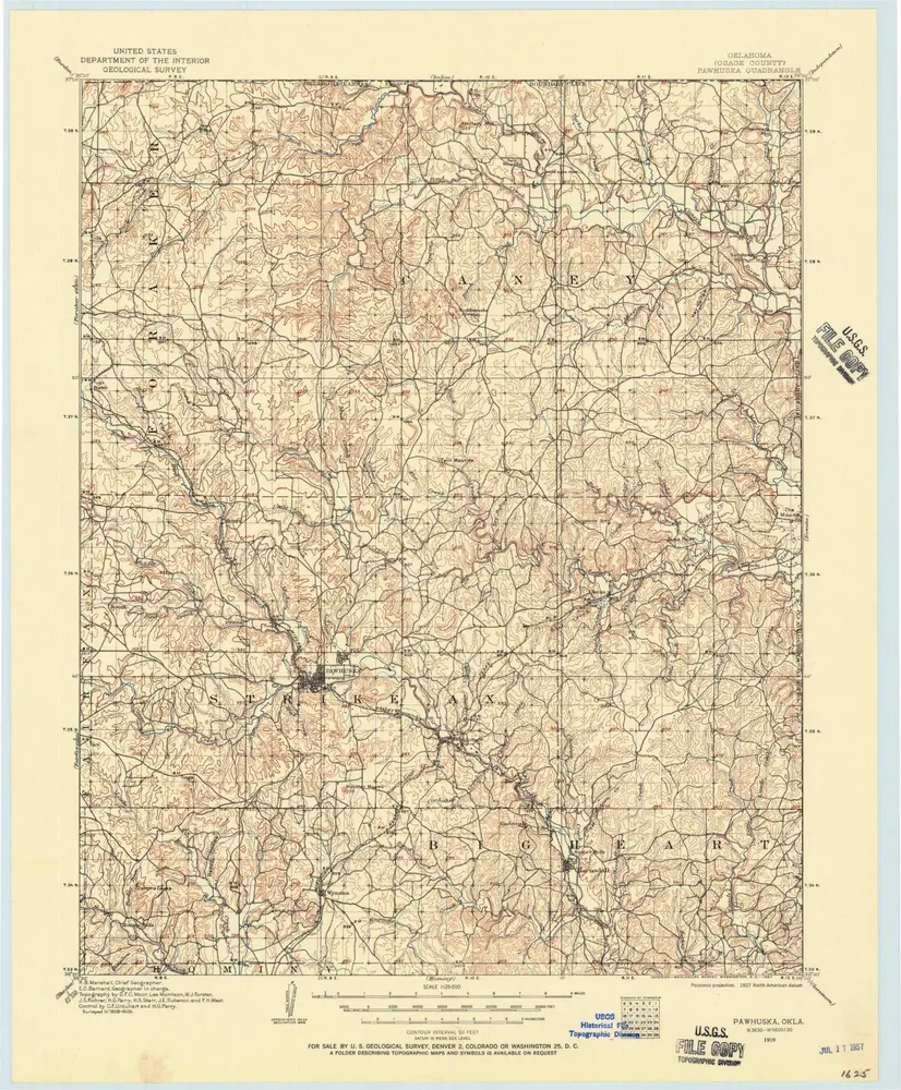
Pawhuska
1910
1:125k
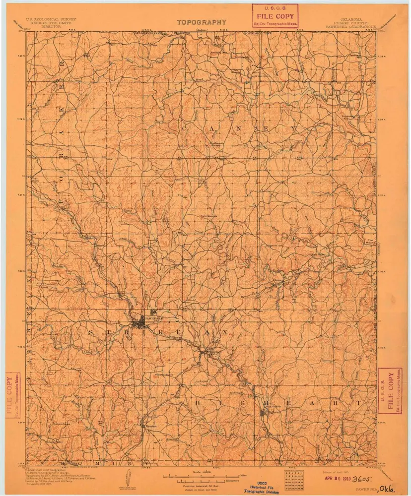
Pawhuska
1909
1:125k
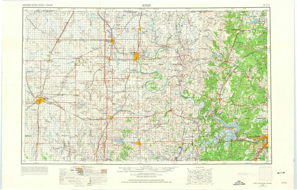
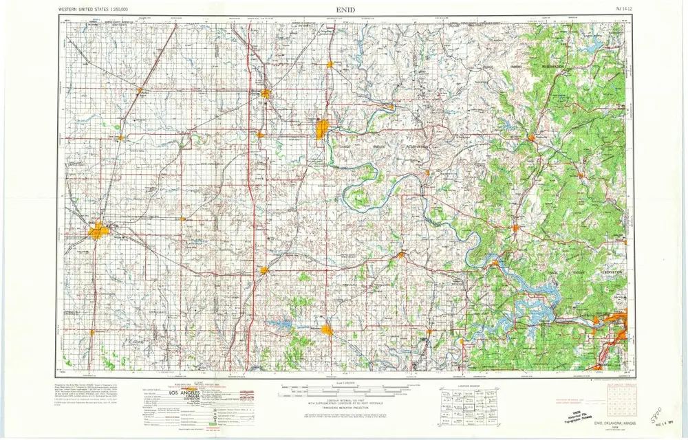
Enid
1958
1:250k
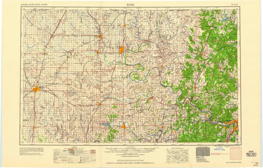
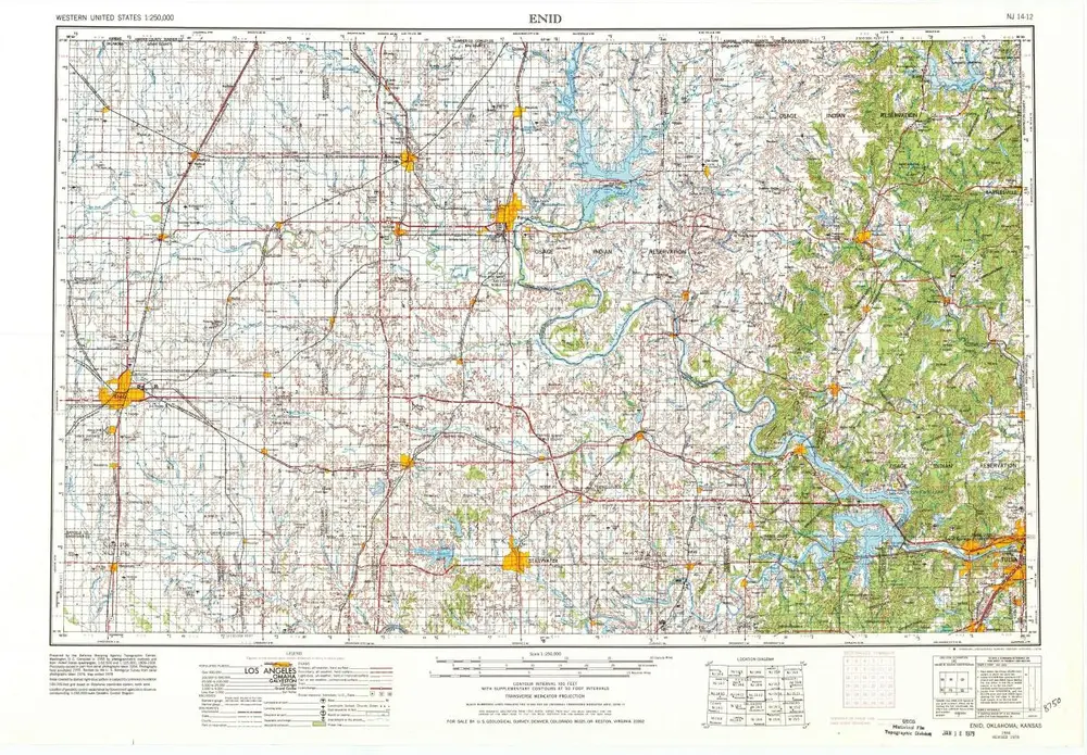
Enid
1955
1:250k
Enid
1955
1:250k
Enid
1955
1:250k
Enid
1955
1:250k
History