Project
Community
News
My App
My maps
编目地图
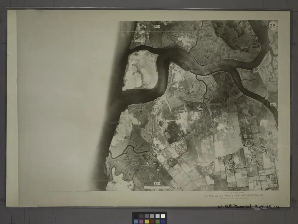
26C - N.Y. City (Aerial Set).
View on external website
View digitized
机构:
New York Public Library
完整标题:
26C - N.Y. City (Aerial Set).
描述:
1924
Catalog
New York Public Library
maps.nypl.org
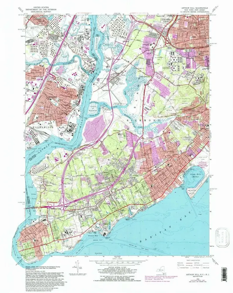
Arthur Kill
1966
1:24k
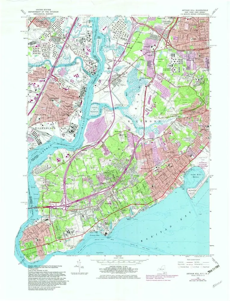
Arthur Kill
1966
1:24k
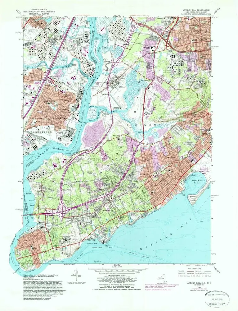
Arthur Kill
1966
1:24k
Arthur Kill
1966
1:24k
Arthur Kill
1955
1:24k
Arthur Kill
1955
1:24k
Arthur Kill
1947
1:24k
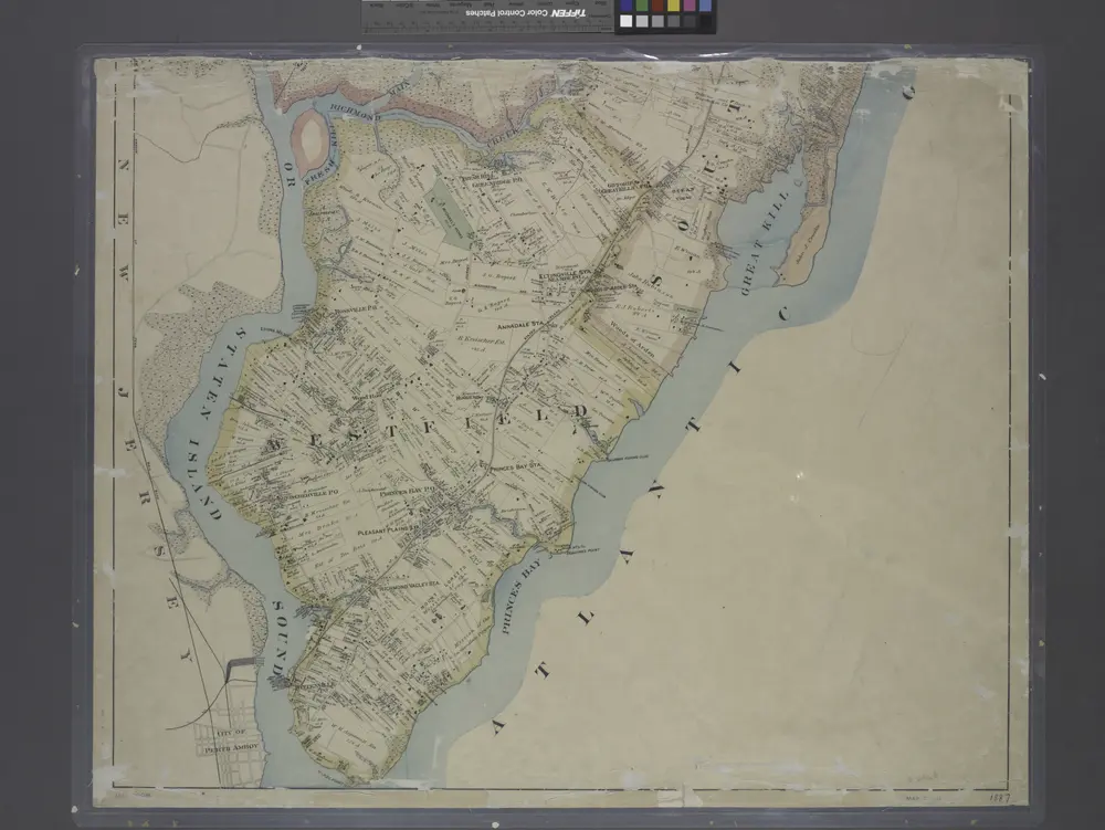
New map of Staten Island
1887
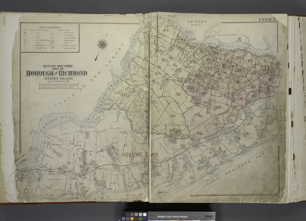
Outline & Index Map of The Borough of Richmond (Staten Island); Explanation; Note.
1917
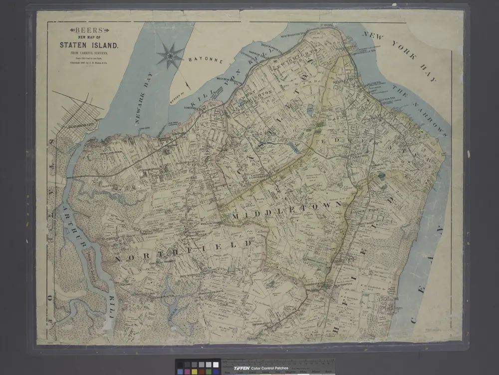
New map of Staten Island
1887
历史