Project
Community
News
My App
My maps
Skatalogowana mapa
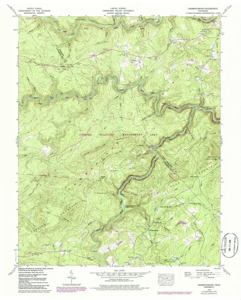
Hebbertsburg
View on external website
View digitized
Instytucja:
United States Geological Survey
Pełny tytuł:
Hebbertsburg
Rok ilustracji:
1943
Data publikacji:
1980
Skala mapy:
1:24 000
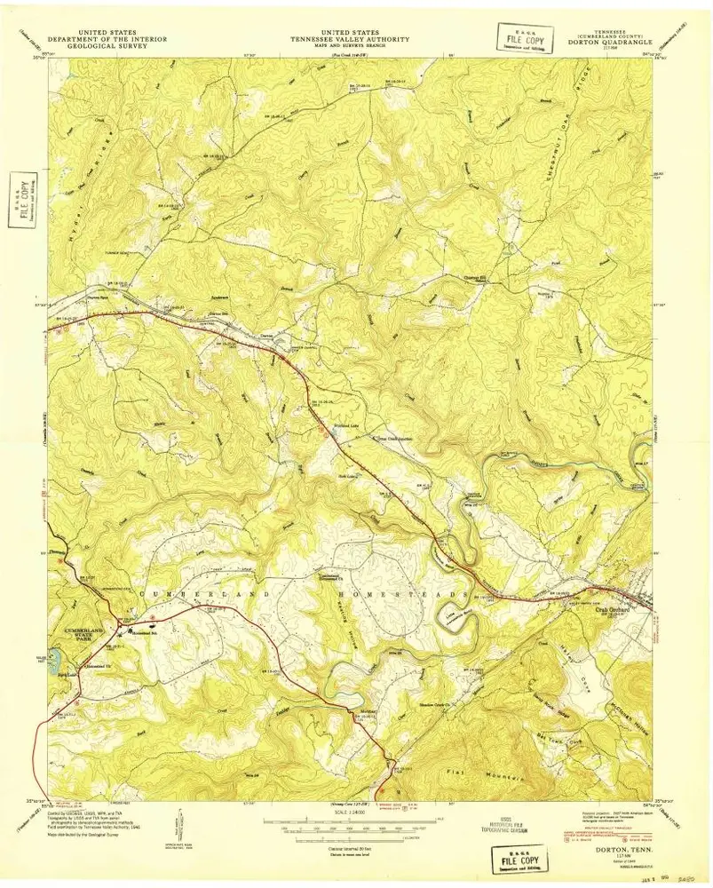
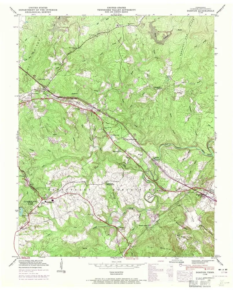
Dorton
1949
1:24k
Dorton
1949
1:24k
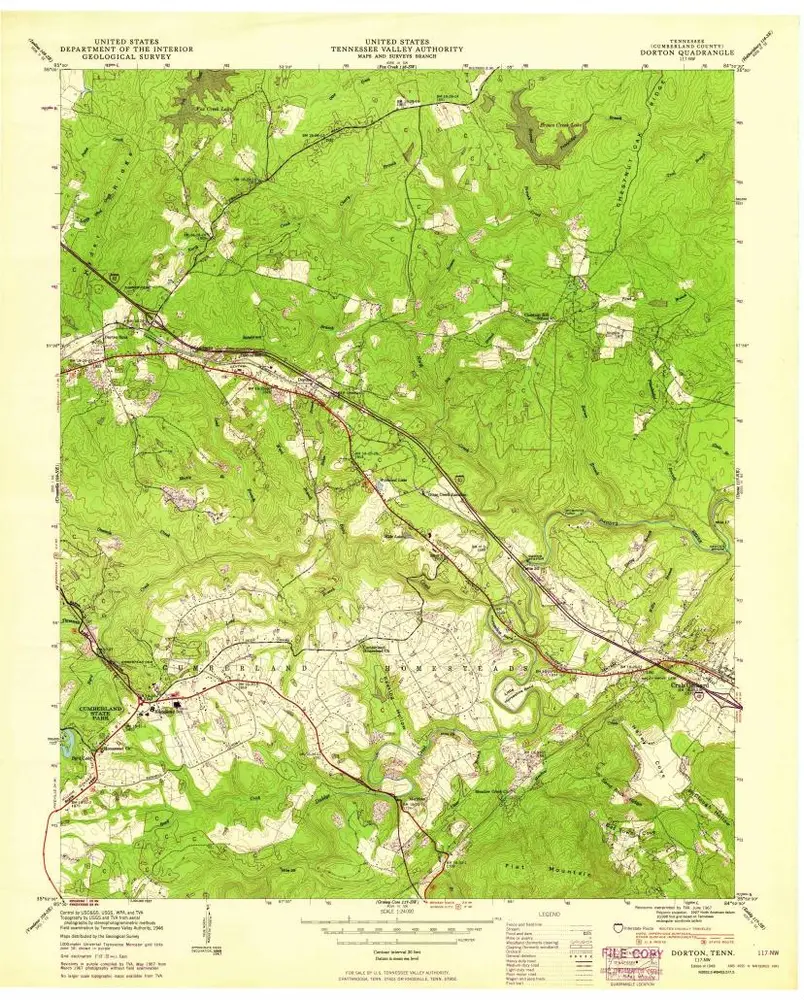
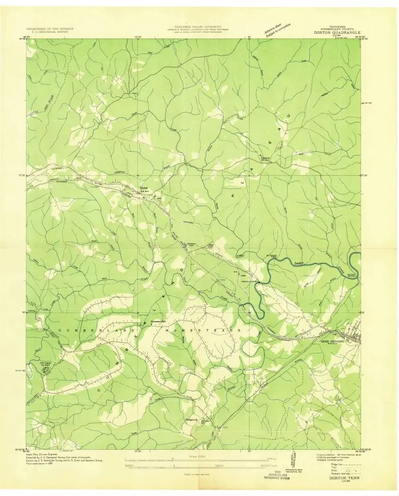
Dorton
1946
1:24k
Dorton
1946
1:24k
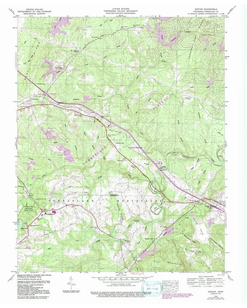
Dorton
1936
1:24k
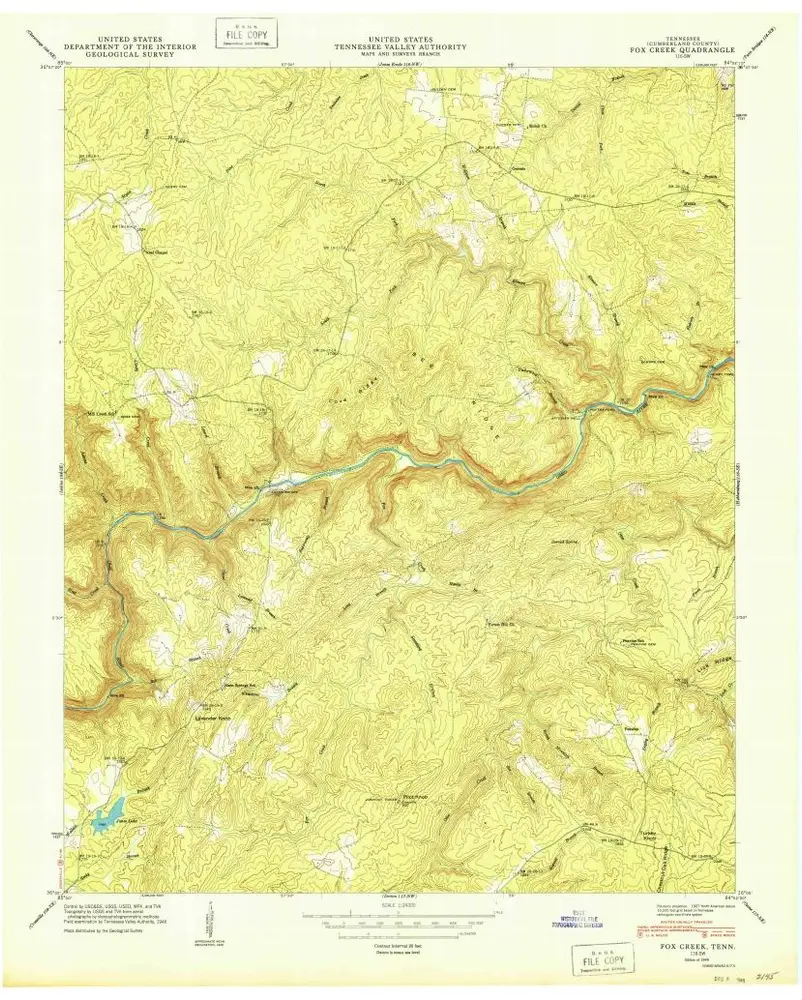
Fox Creek
1949
1:24k
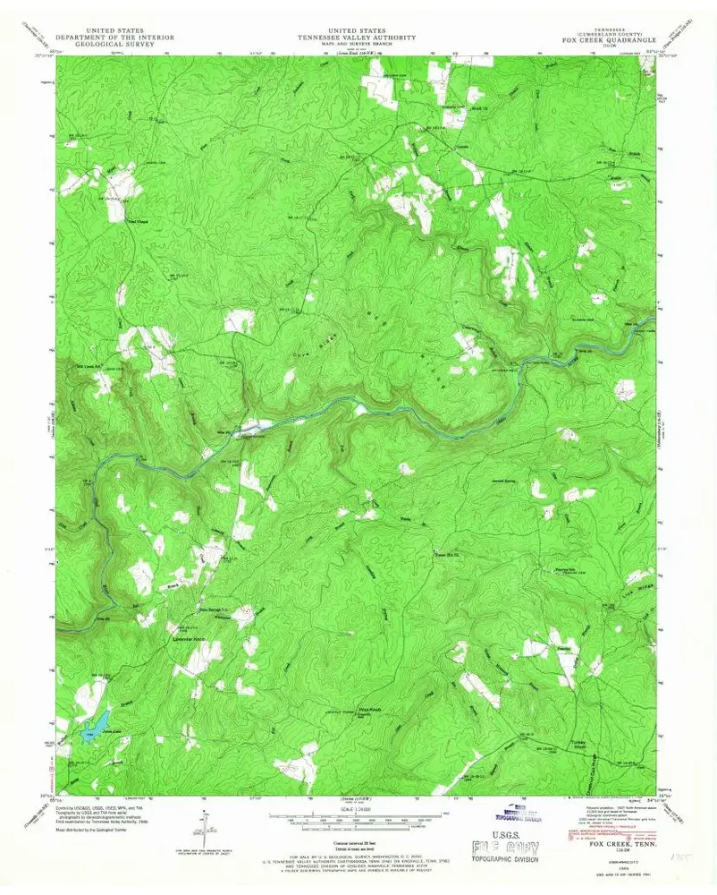
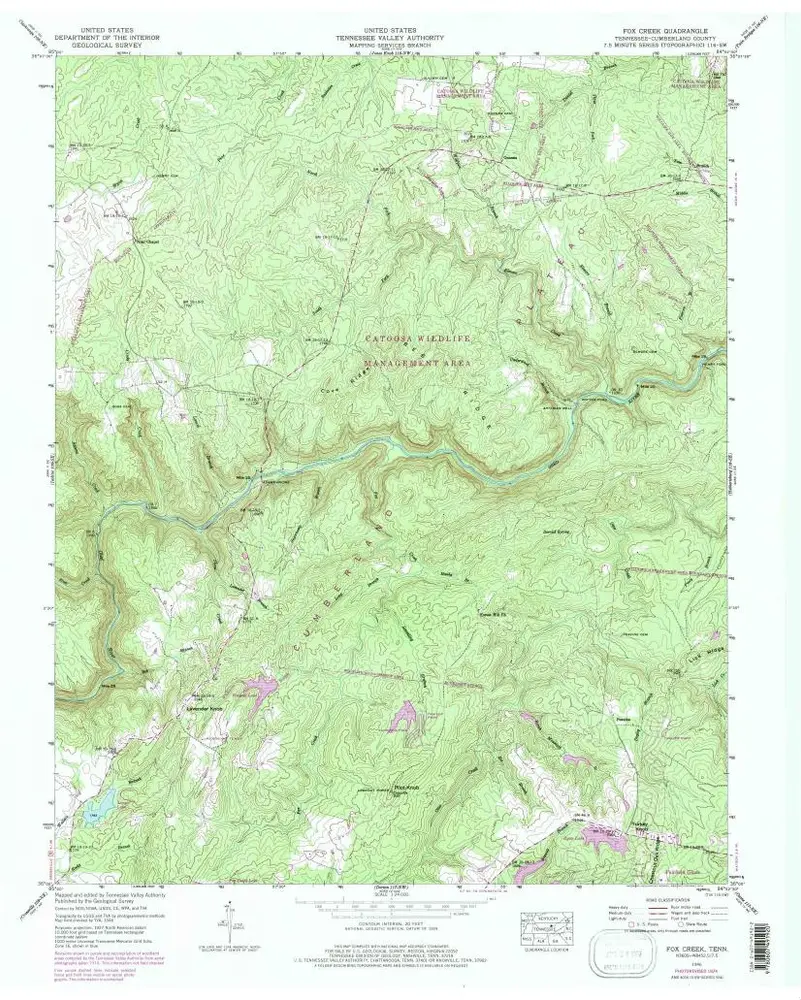
Fox Creek
1946
1:24k
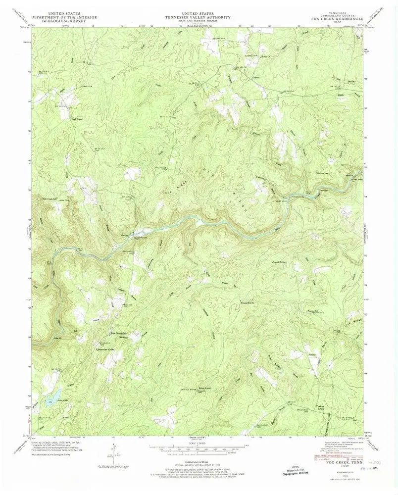
Fox Creek
1946
1:24k
Fox Creek
1946
1:24k
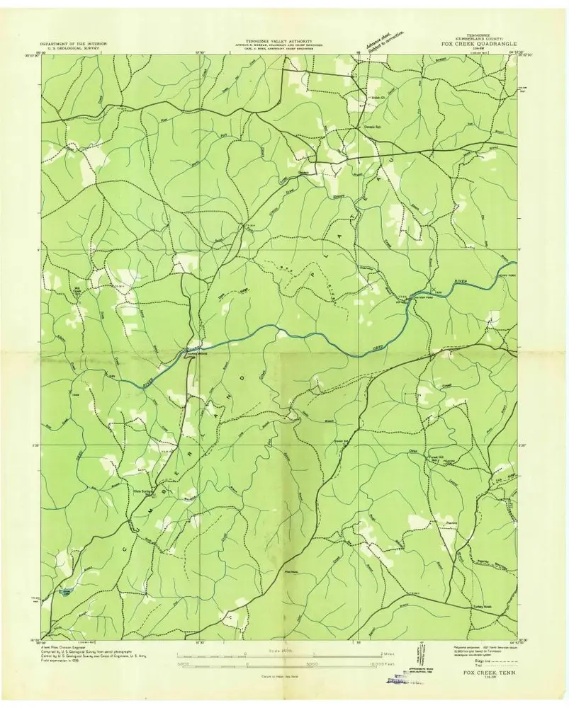
Fox Creek
1936
1:24k
Historia