Project
Community
News
My App
My maps
Carte cataloguée
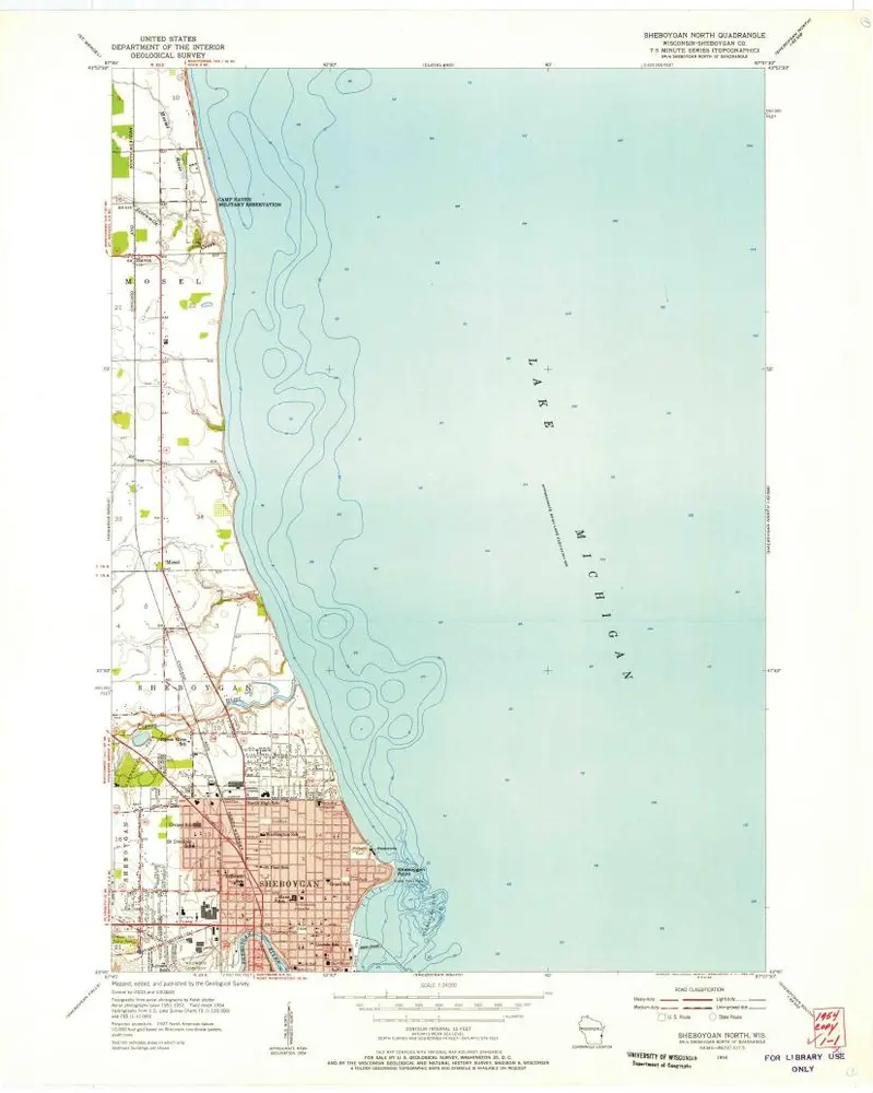
Sheboygan North
View on external website
Institution:
United States Geological Survey
Titre complet:
Sheboygan North
Année de l'image:
1954
Date de publication:
1956
Échelle de la carte:
1:24 000
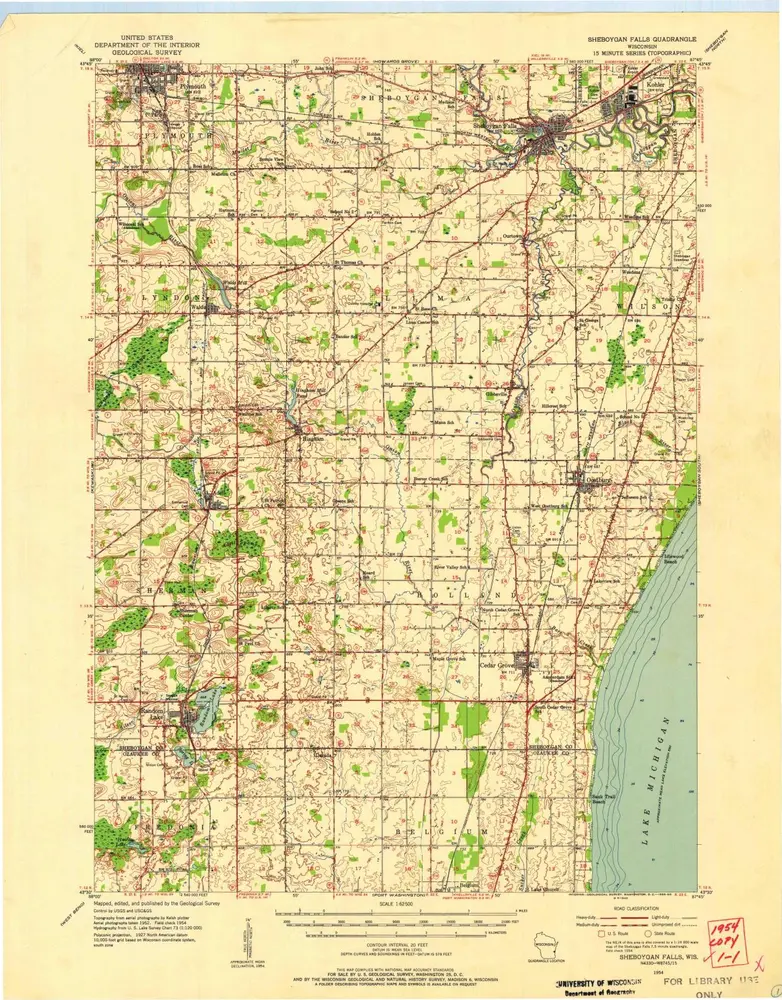
Sheboygan Falls
1954
1:63k
Sheboygan Falls
1954
1:63k
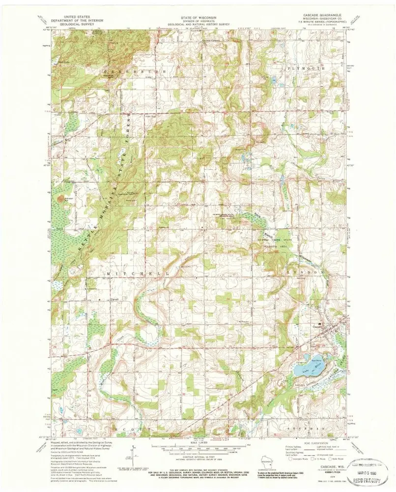
Cascade
1974
1:24k
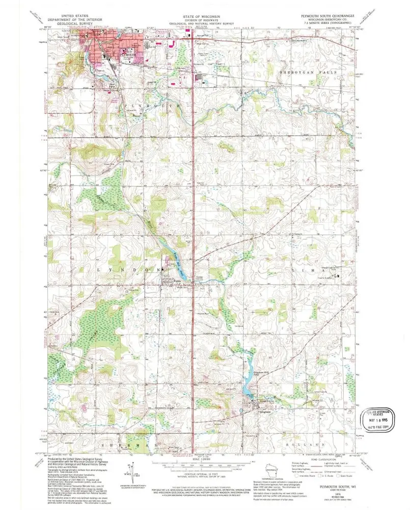
Plymouth South
1974
1:24k
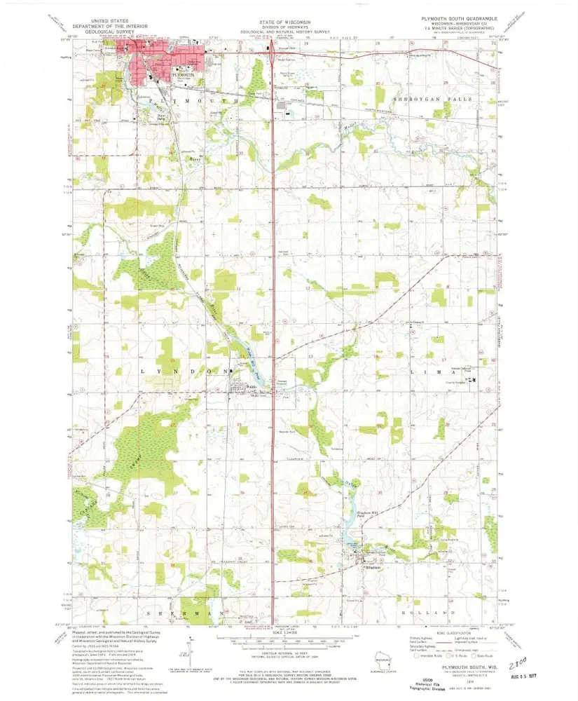
Plymouth South
1974
1:24k
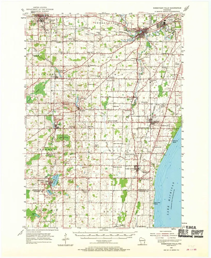
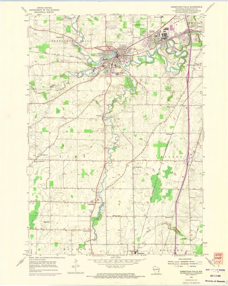
Sheboygan Falls
1954
1:24k
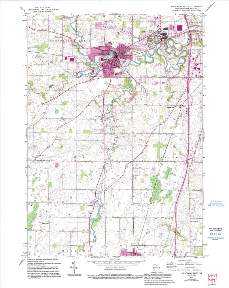
Sheboygan Falls
1954
1:24k
Sheboygan Falls
1954
1:24k
Howards Grove
1954
1:24k
Howards Grove
1954
1:24k
L'histoire