Project
Community
News
My App
My maps
Carte cataloguée
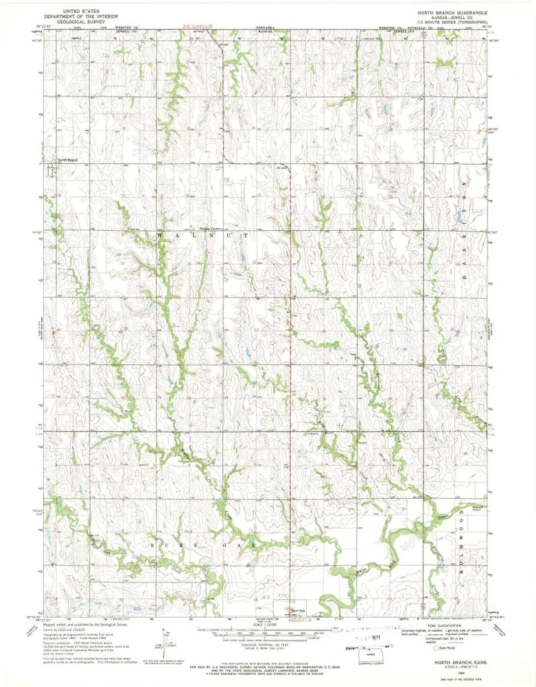
North Branch
View on external website
Institution:
United States Geological Survey
Titre complet:
North Branch
Année de l'image:
1969
Date de publication:
1971
Échelle de la carte:
1:24 000
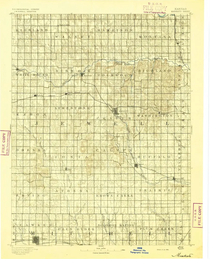
Mankato
1894
1:125k
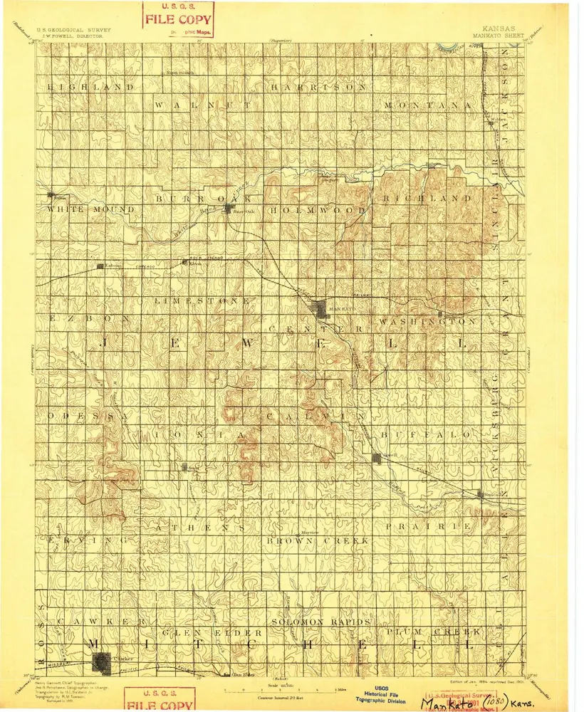
Mankato
1894
1:125k
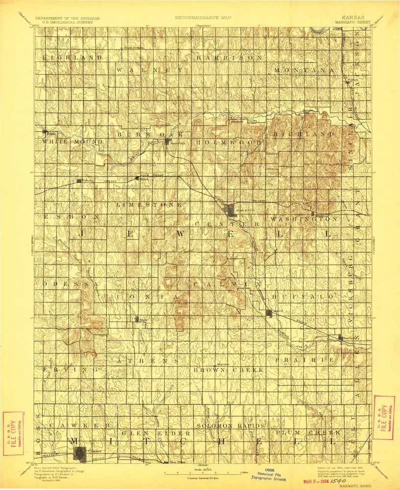
Mankato
1894
1:125k
Mankato
1894
1:125k
Smith Center
1985
1:100k
Smith Center
1985
1:100k
Cawker City NW
1969
1:24k
Ionia
1969
1:24k
Jewell
1969
1:24k
Randall
1969
1:24k
L'histoire