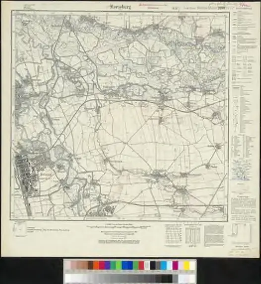
Meßtischblatt 2680 : Merseburg (Ost), 1937
Merseburg (Ost). - Hrsg. 1905, bericht. 1930, mehrfarb. Ausg. 1930, einz. Nachtr. 1937. - 1:25000. - [Berlin]: Reichsamt für Landesaufnahme, 1937. - 1 Kt.

Maps of
- No maps found for this area.Please adjust the year or set different filters.