Project
Community
News
My App
My maps
Gecatalogiseerde kaart
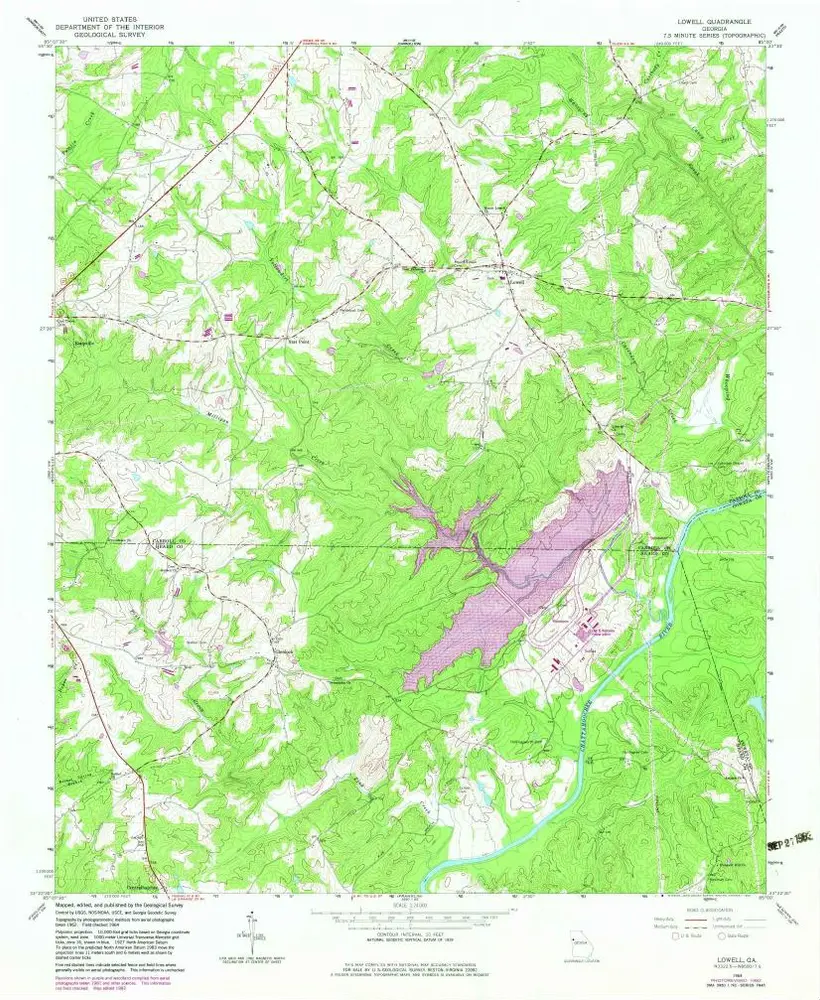
Lowell
View on external website
View digitized
Instelling:
United States Geological Survey
Volledige titel:
Lowell
Jaar illustratie:
1964
Pubdatum:
1983
Schaal kaart:
1:24 000
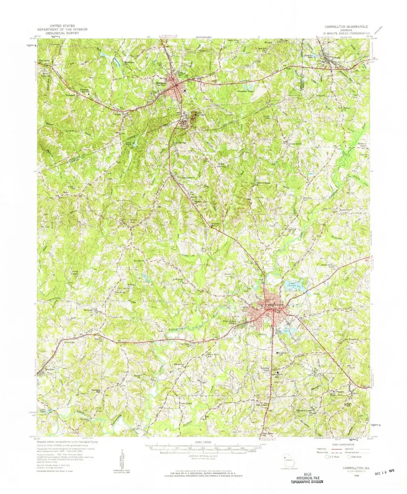
Carrollton
1958
1:63k
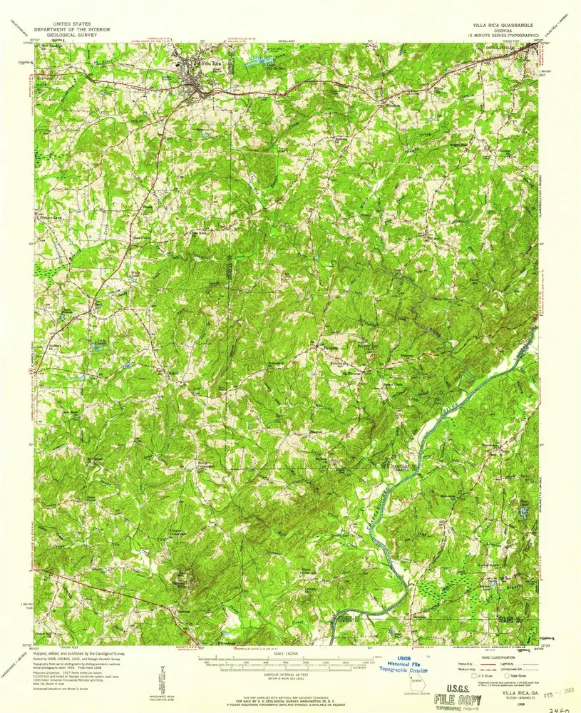
Villa Rica
1958
1:63k
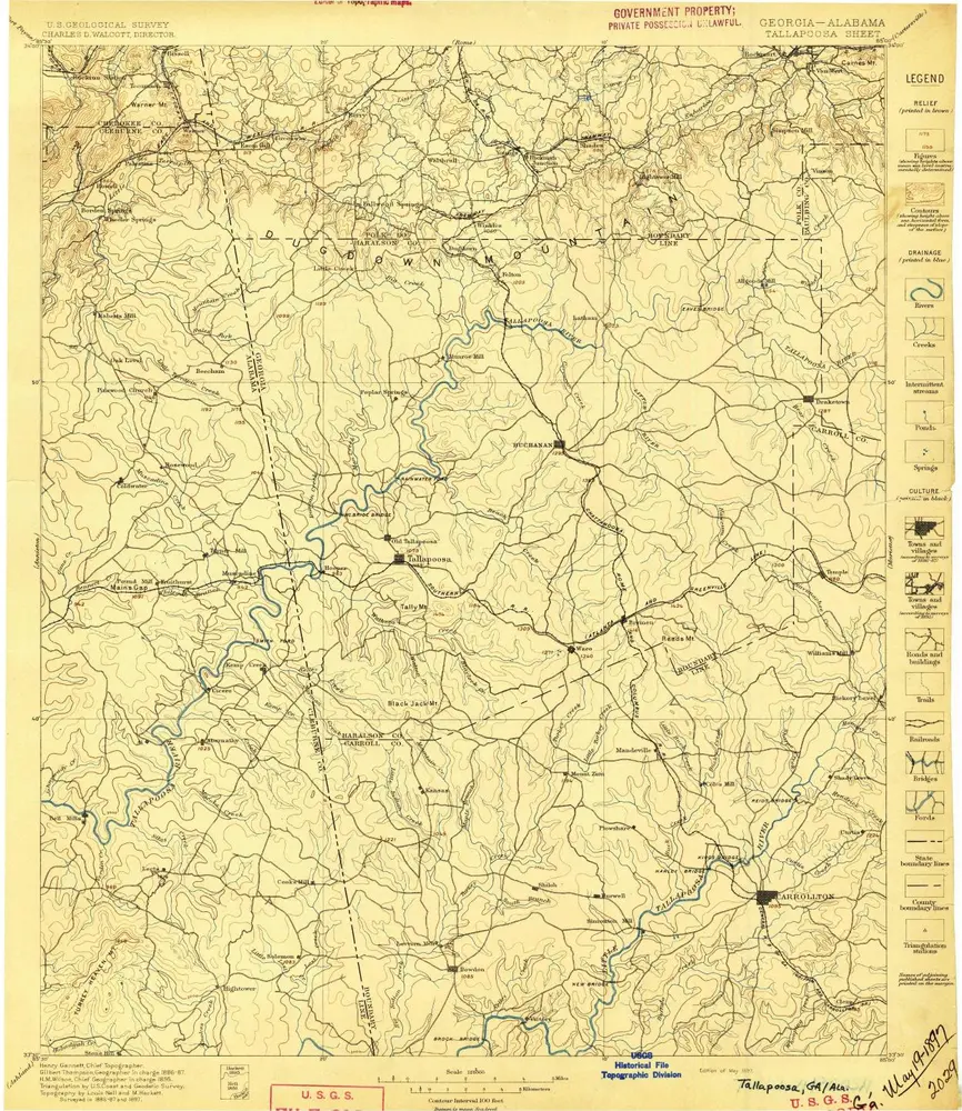
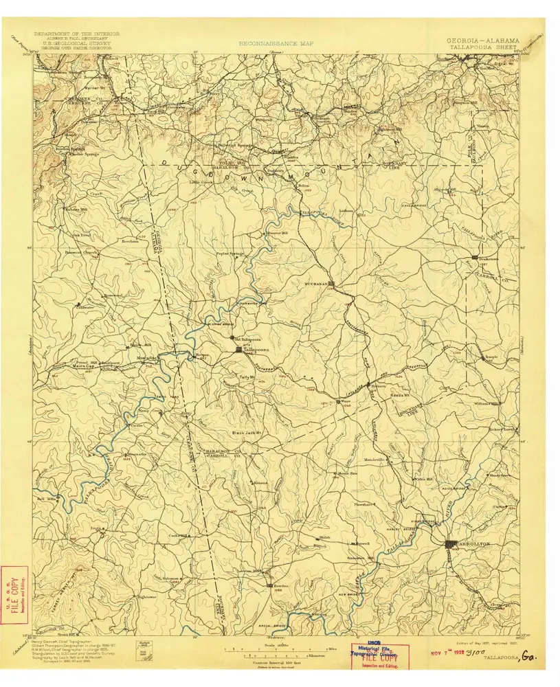
Tallapoosa
1897
1:125k
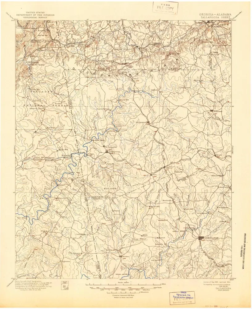
Tallapoosa
1897
1:125k
Tallapoosa
1897
1:125k
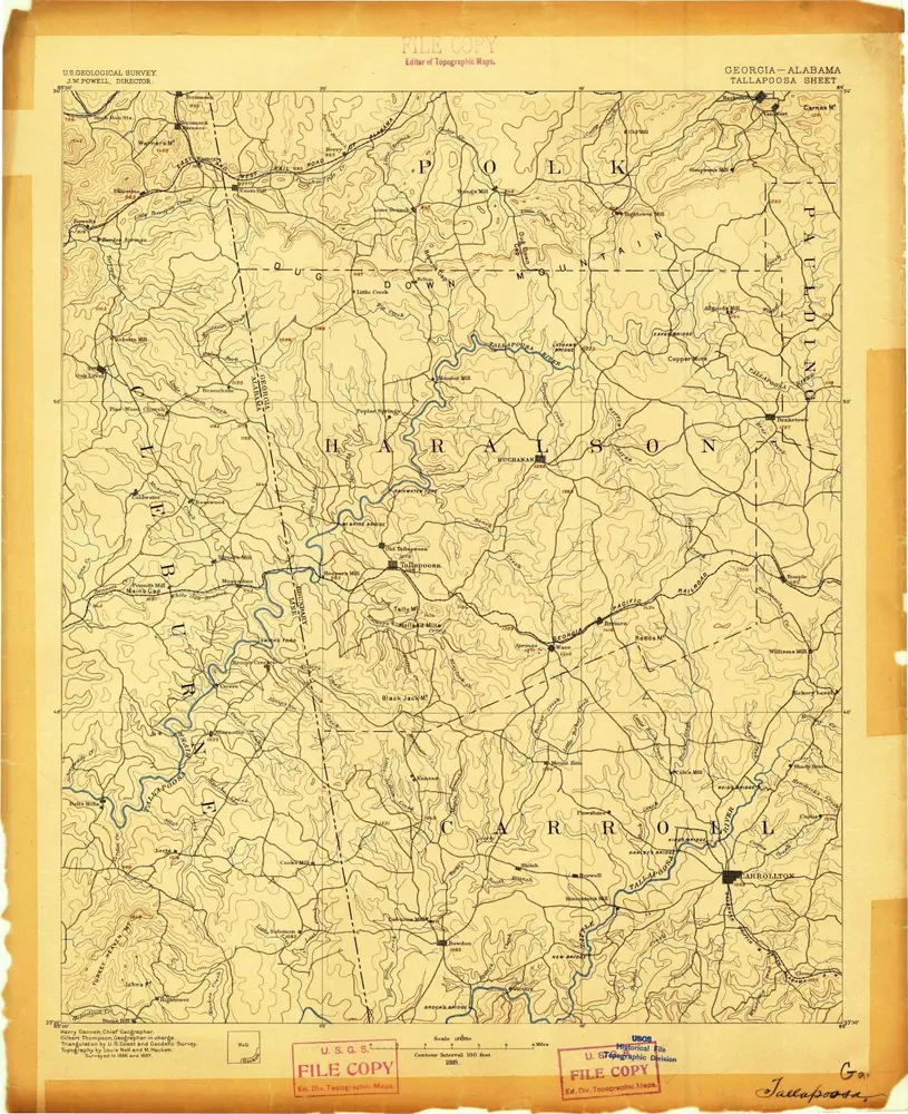
Tallapoosa
1889
1:125k
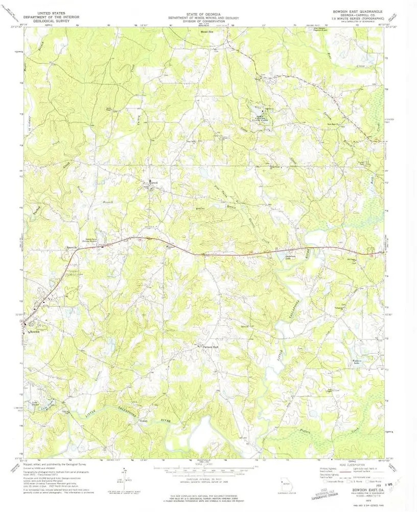
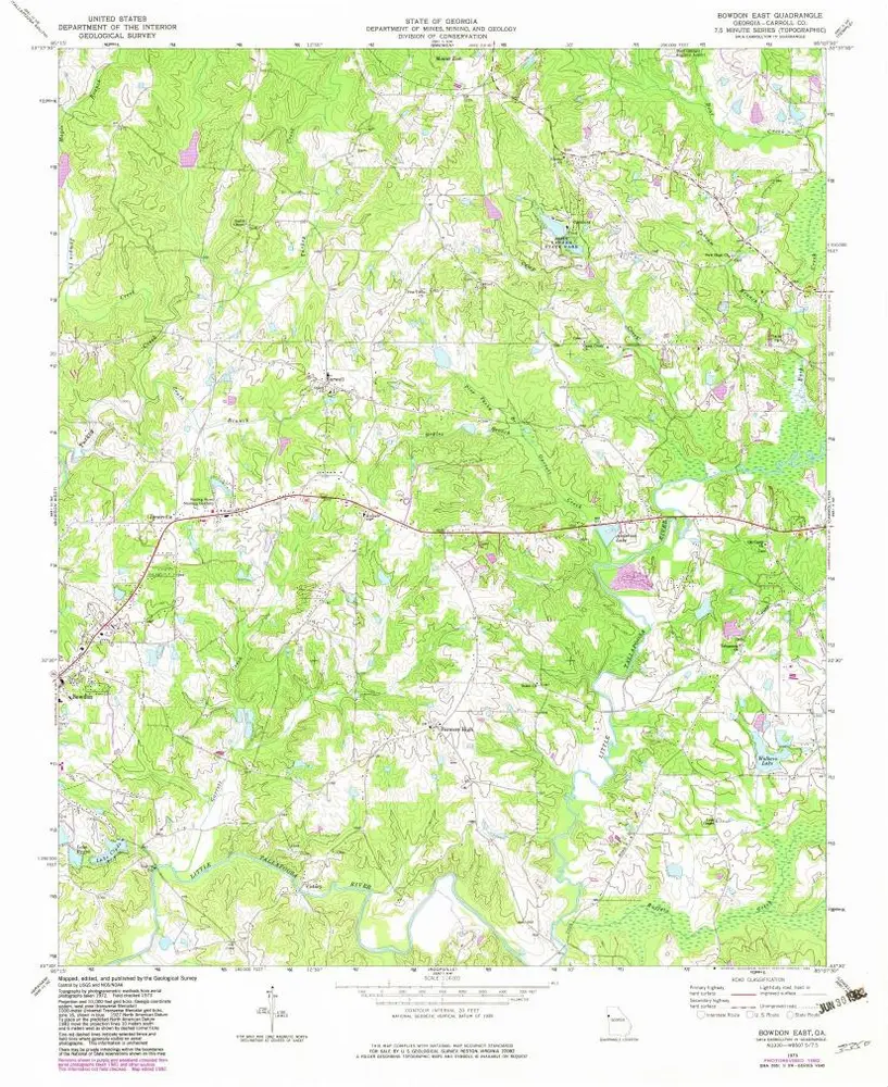
Bowdon East
1973
1:24k
Bowdon East
1973
1:24k
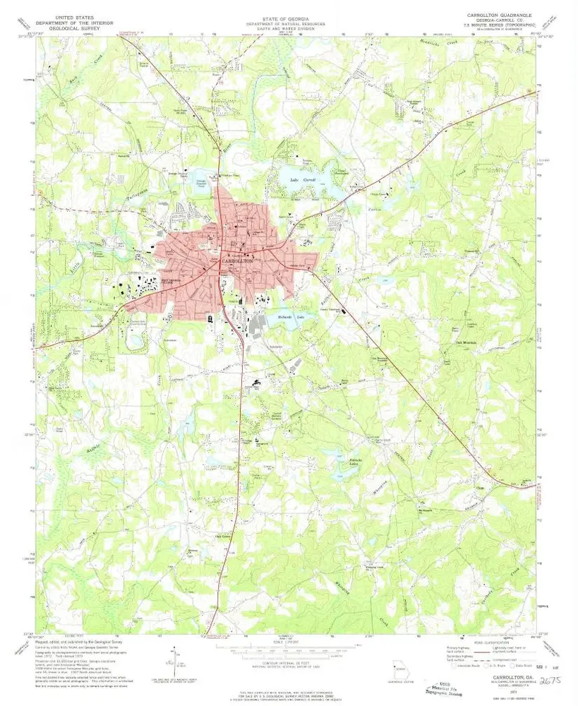
Carrollton
1973
1:24k
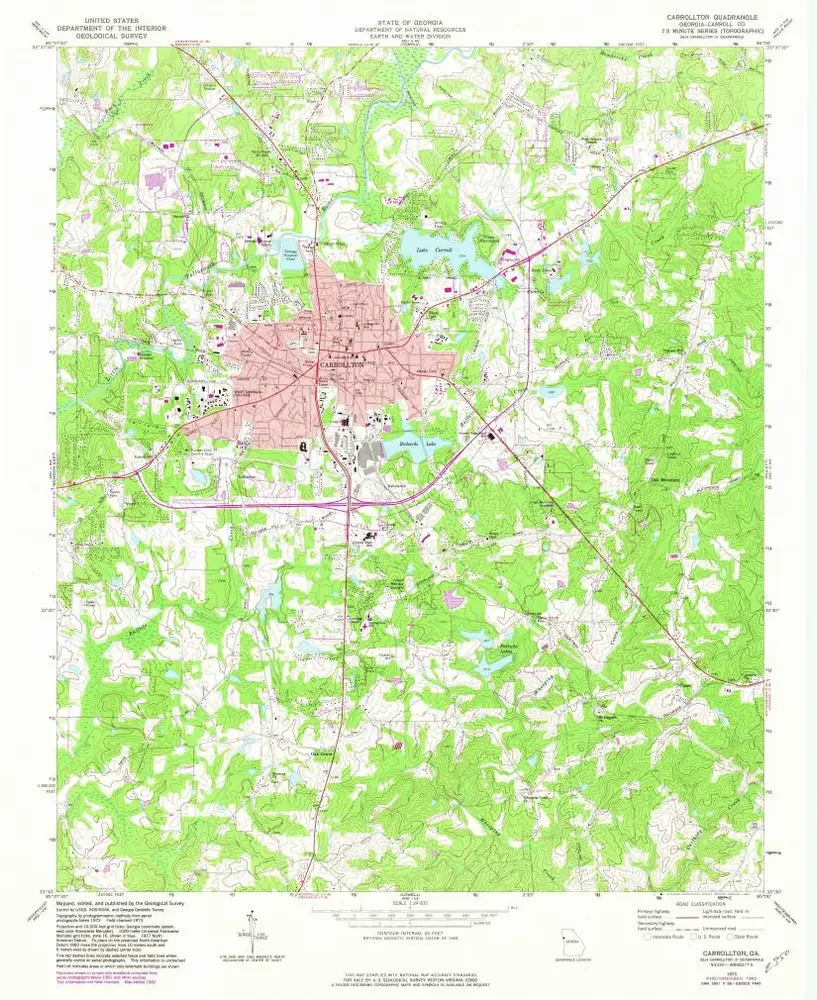
Carrollton
1973
1:24k
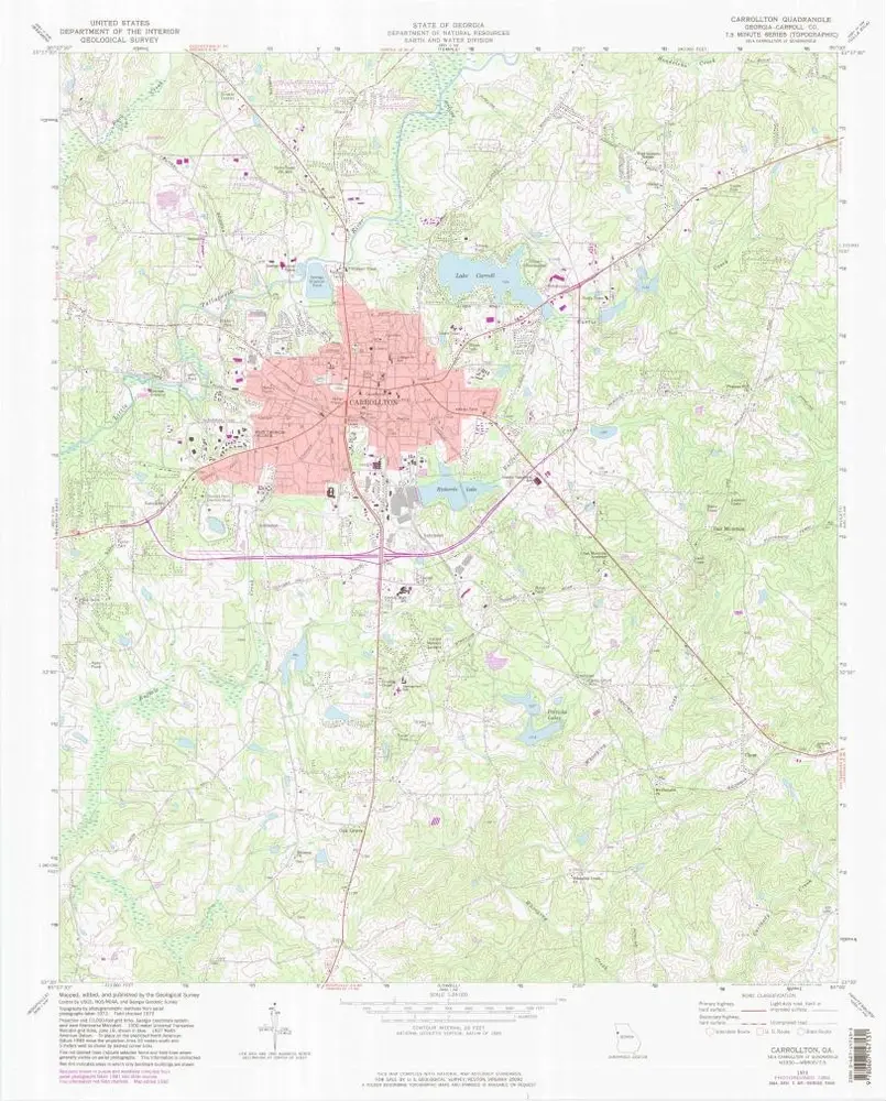
Carrollton
1973
1:24k
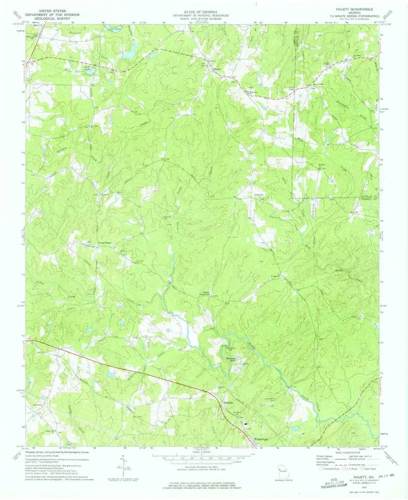
Hulett
1973
1:24k
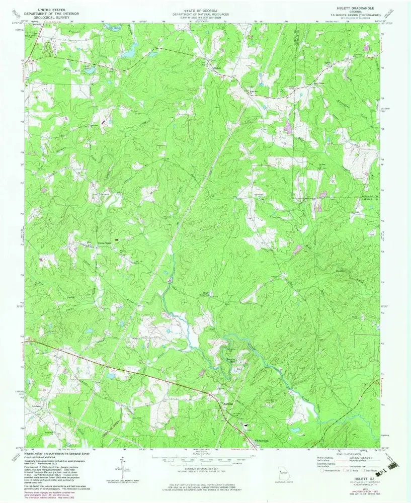
Hulett
1973
1:24k
Geschiedenis