Project
Community
News
My App
My maps
Katalogisierte Karte
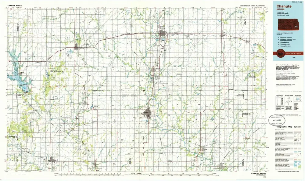
Chanute
View on external website
View digitized
Einrichtung:
United States Geological Survey
Vollständiger Titel:
Chanute
Jahr der Abbildung:
1985
Veröffentlichungsdatum:
1986
Maßstab der Karte:
1:100 000
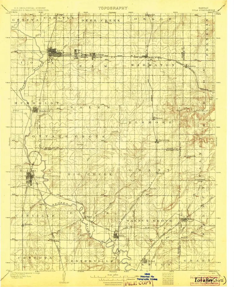
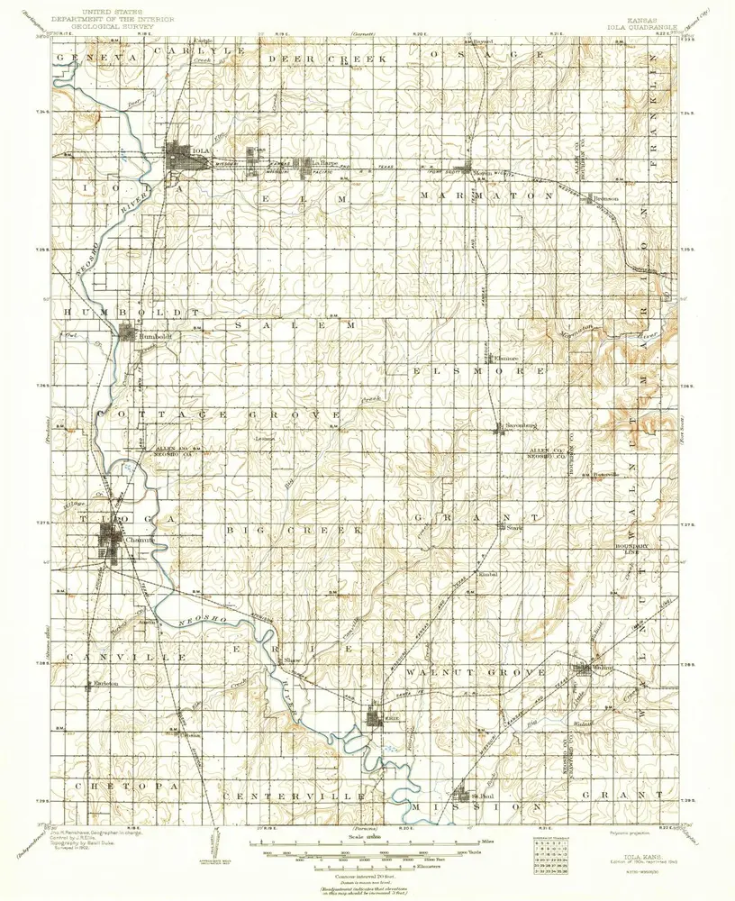
Iola
1904
1:125k
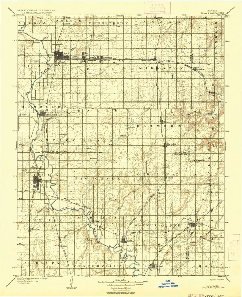
Iola
1904
1:125k
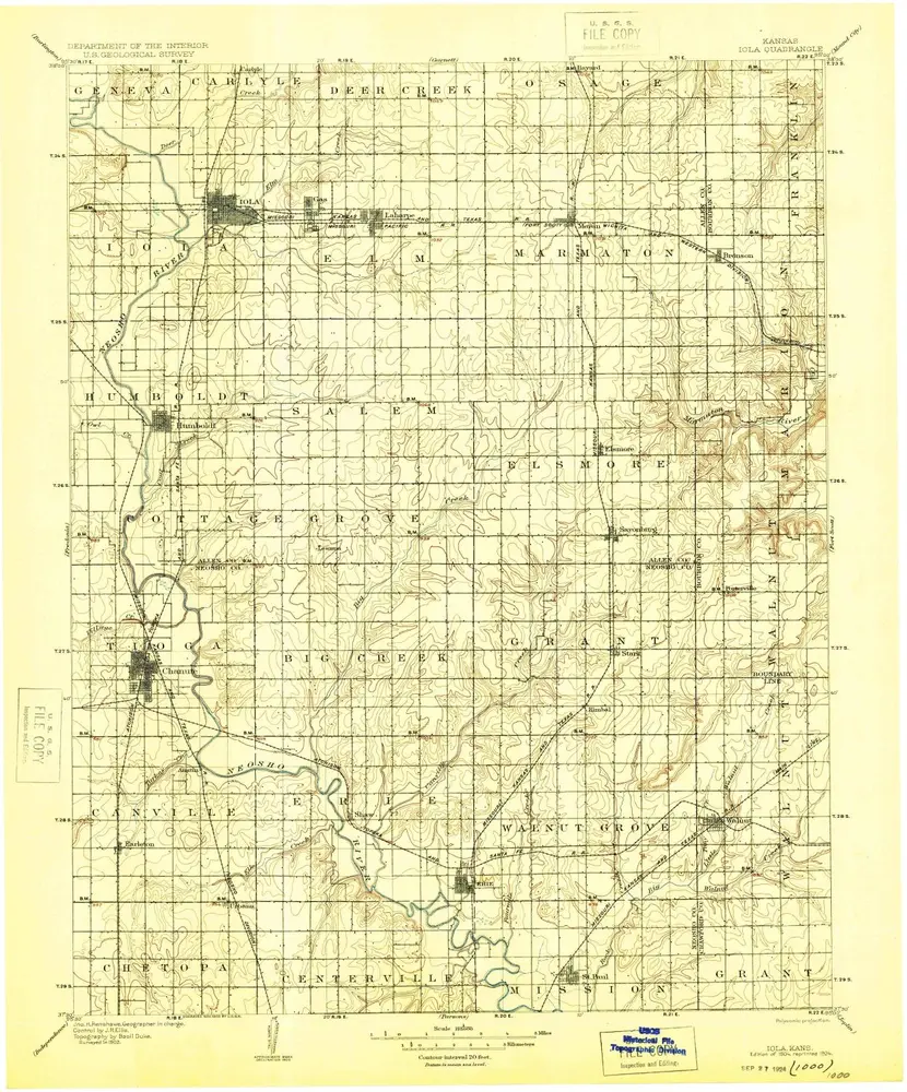
Iola
1904
1:125k
Iola
1904
1:125k
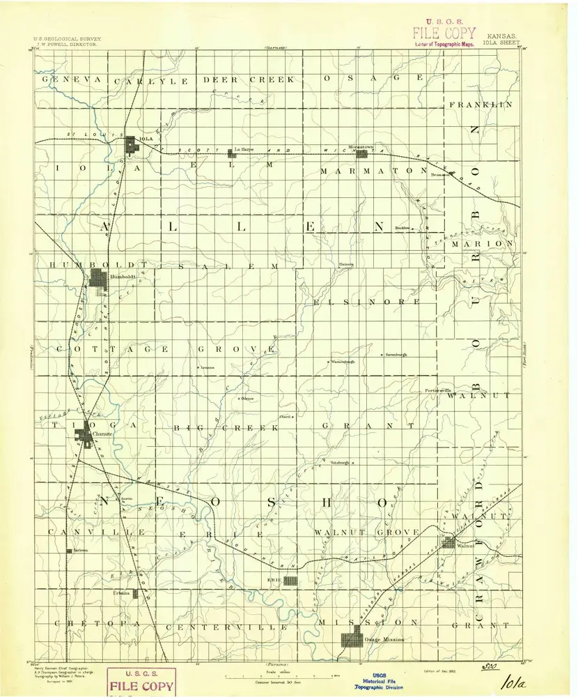
Iola
1893
1:125k
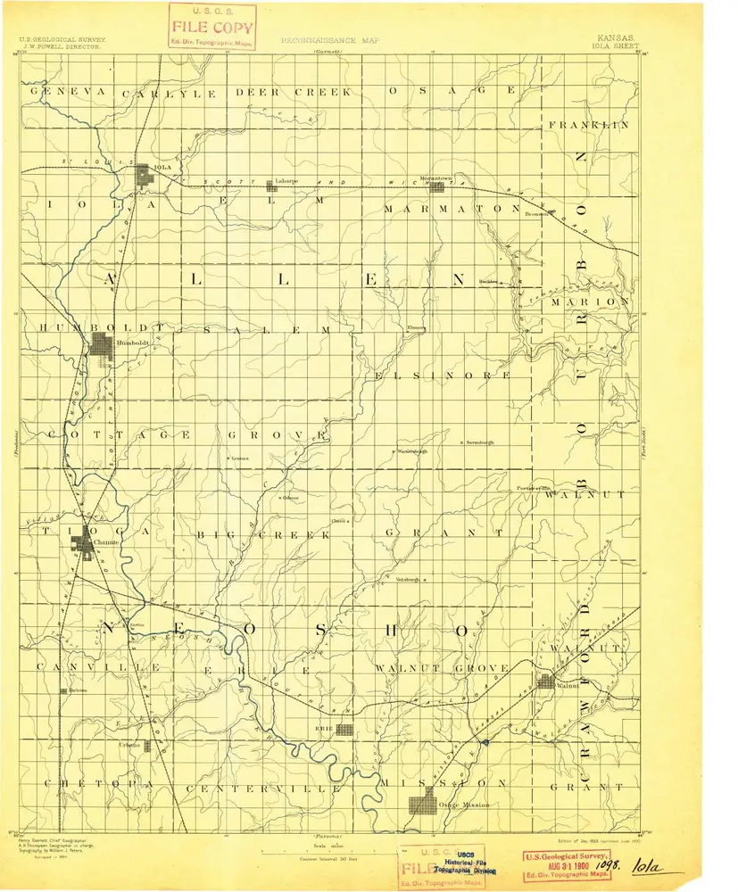
Iola
1893
1:125k
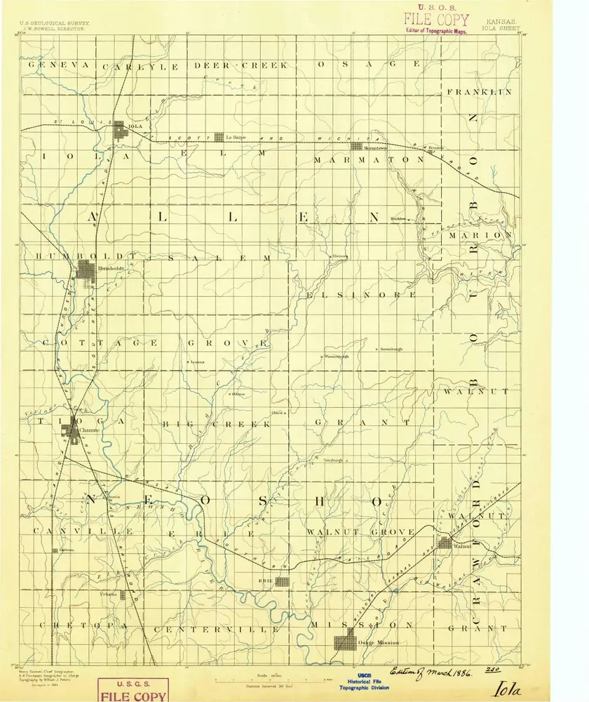
Iola
1886
1:125k
Humboldt
1966
1:24k
Humboldt
1966
1:24k
Elsmore
1966
1:24k
Iola SE
1965
1:24k
Geschichte