Carte cataloguée
Anamosa
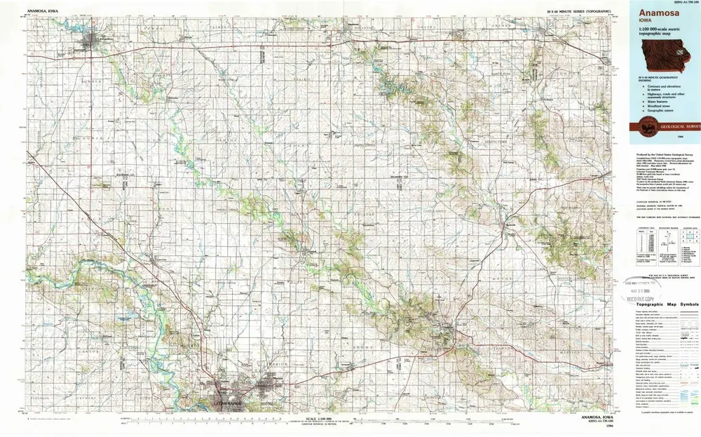

Institution:United States Geological Survey
Titre complet:Anamosa
Année de l'image:1984
Date de publication:1988
Échelle de la carte:1:100 000
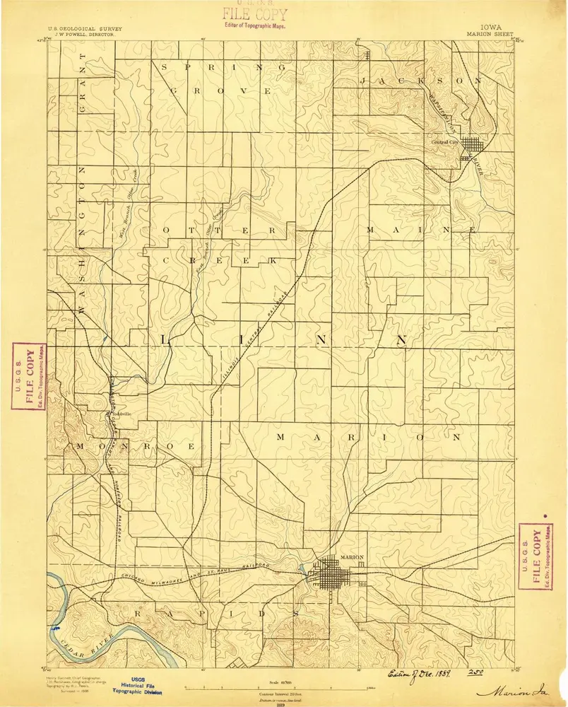
Marion
1889
1:63k
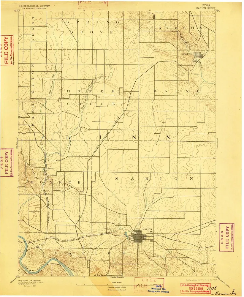
Marion
1889
1:63k
Marion
1889
1:63k
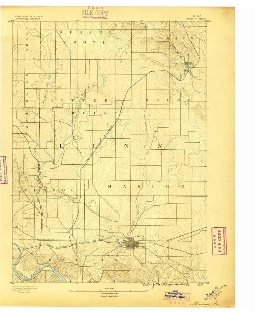
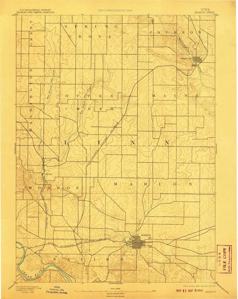
Marion
1888
1:63k

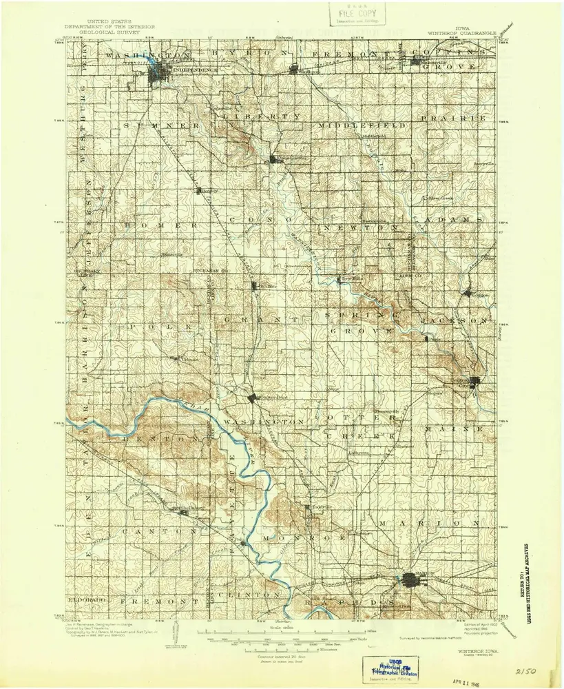
Winthrop
1903
1:125k
Winthrop
1903
1:125k
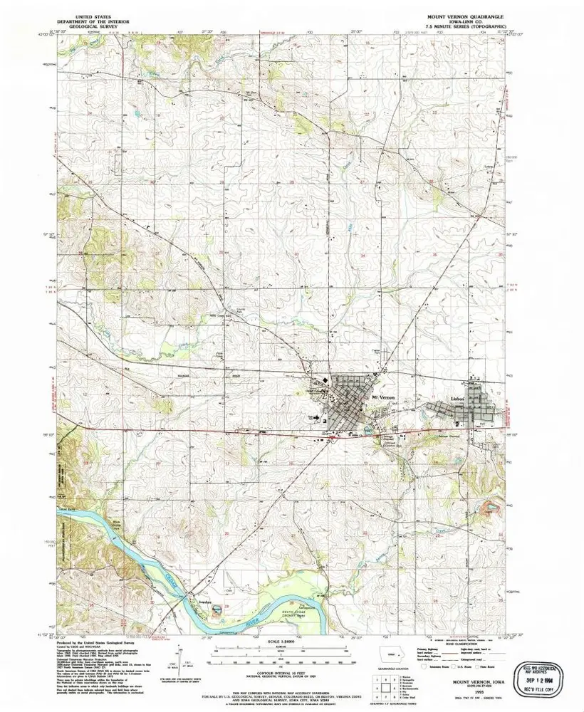
Mount Vernon
1993
1:24k
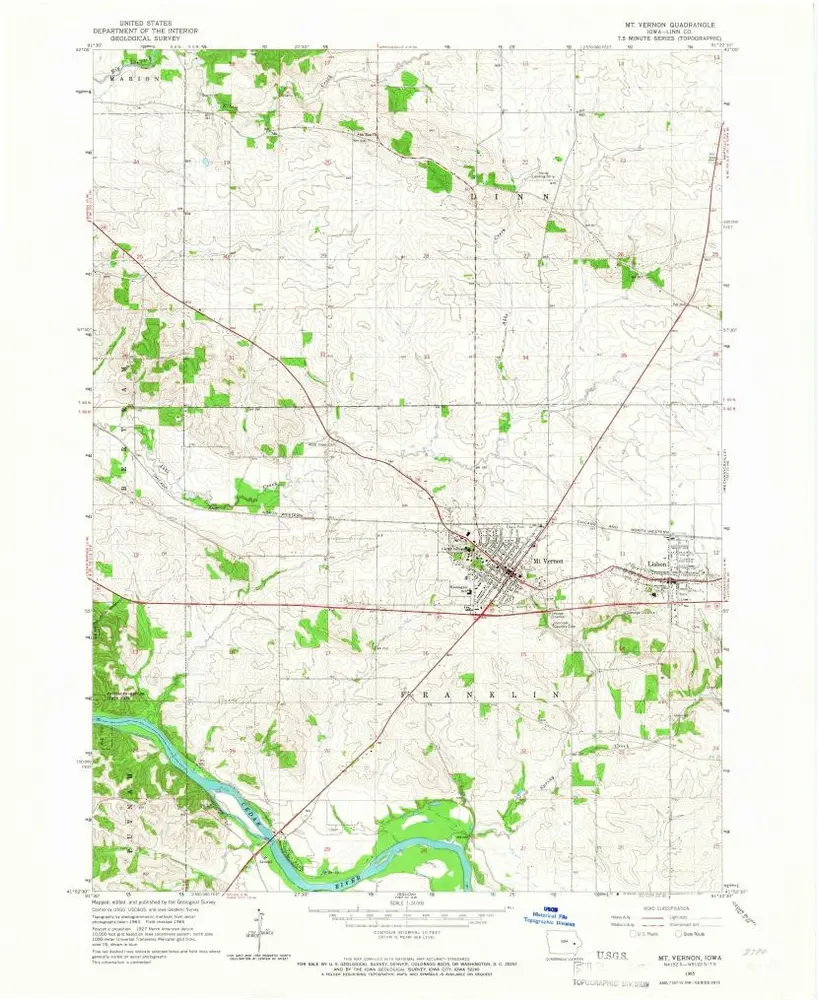
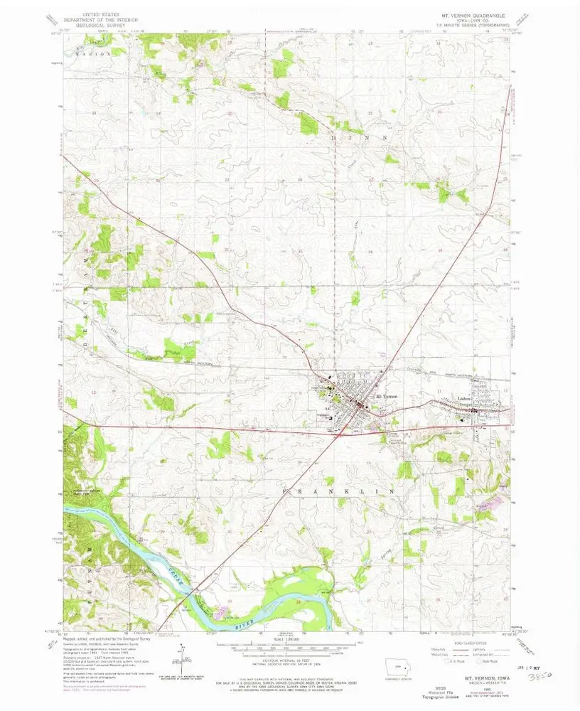
Mt Vernon
1965
1:24k
Mt Vernon
1965
1:24k

Cedar Rapids South
1994
1:24k

Bertram
1993
1:24k

Bertram
1968
1:24k

Bertram
1968
1:24k

Bertram
1968
1:24k

Cedar Rapids South
1967
1:24k

Cedar Rapids South
1967
1:24k

Cedar Rapids South
1967
1:24k