Project
Community
News
My App
My maps
Katalogisierte Karte
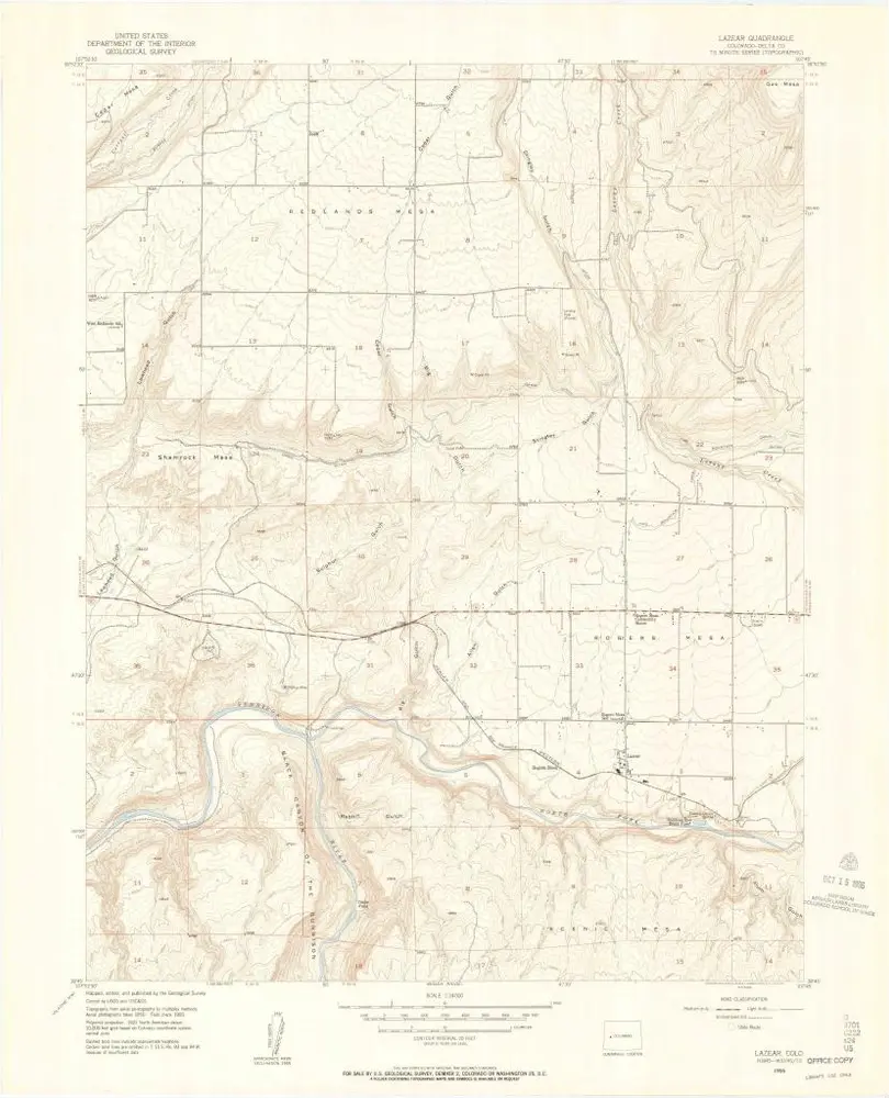
Lazear
View on external website
View digitized
Einrichtung:
United States Geological Survey
Vollständiger Titel:
Lazear
Jahr der Abbildung:
1955
Veröffentlichungsdatum:
1957
Maßstab der Karte:
1:24 000
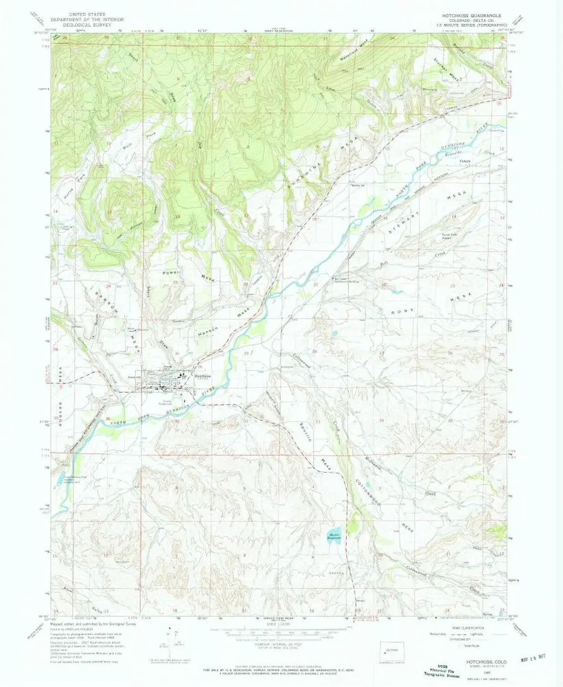
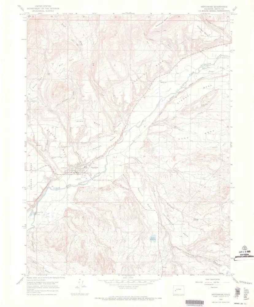
Hotchkiss
1967
1:24k
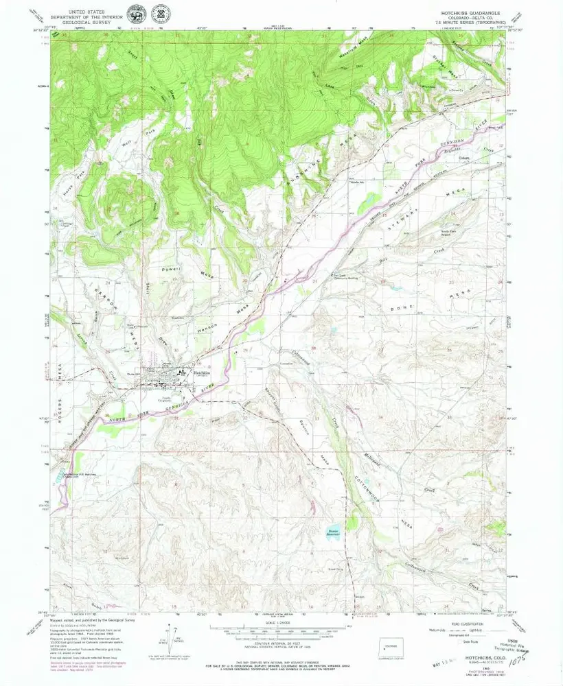
Hotchkiss
1965
1:24k
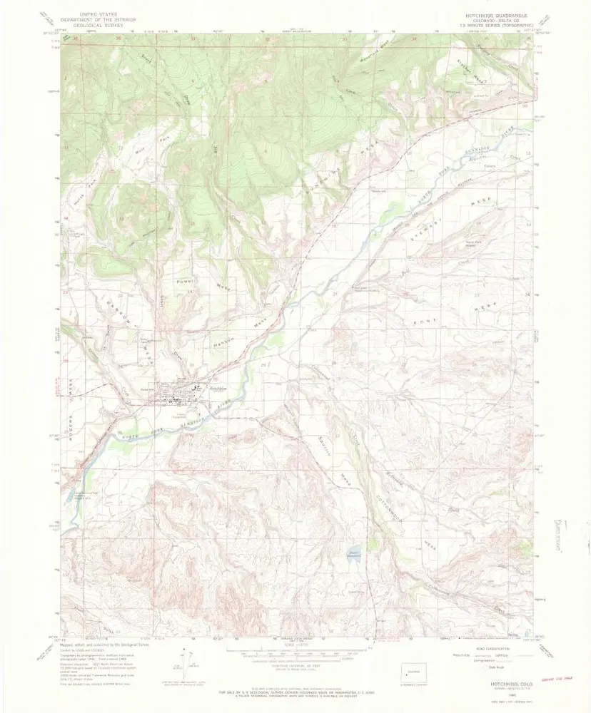
Hotchkiss
1965
1:24k
Hotchkiss
1965
1:24k
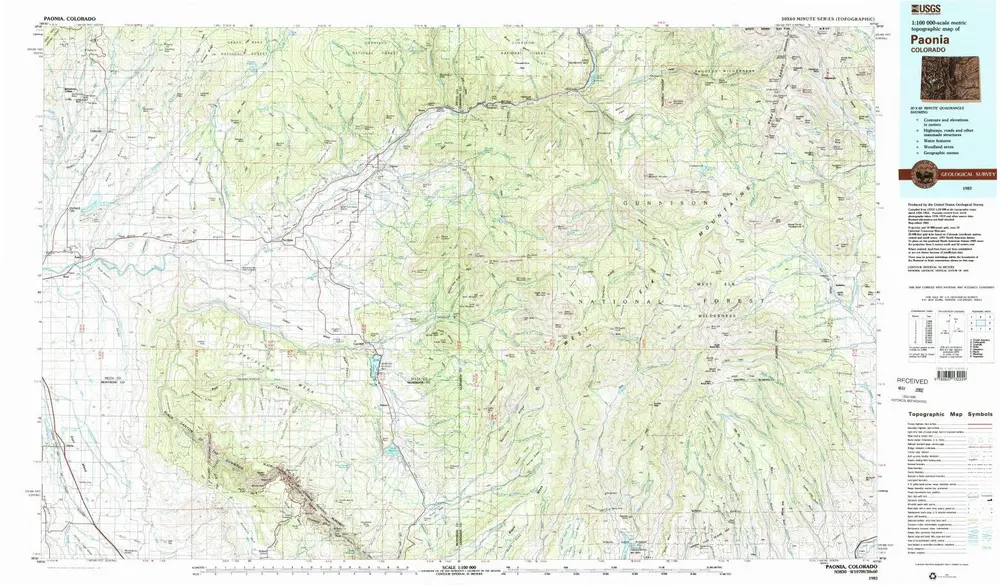
Paonia
1983
1:100k
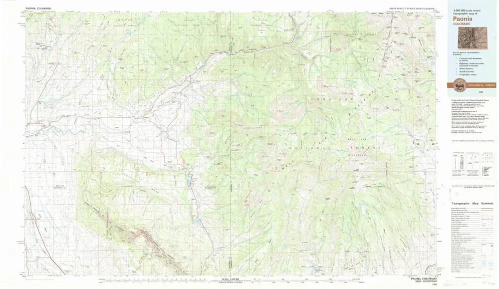
Paonia
1983
1:100k
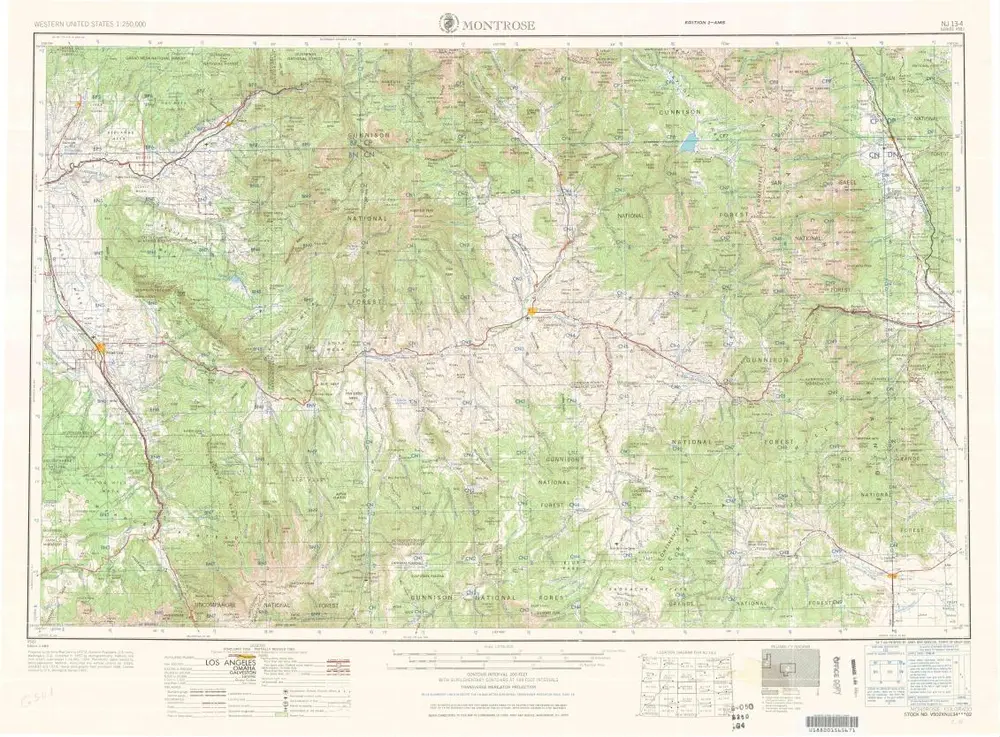
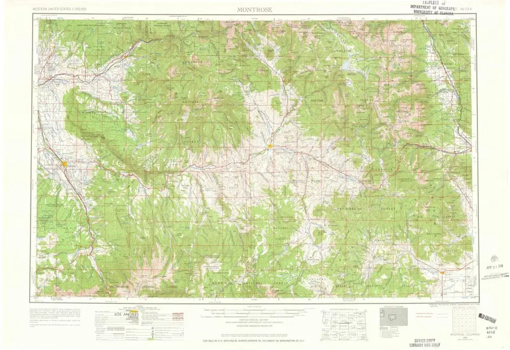
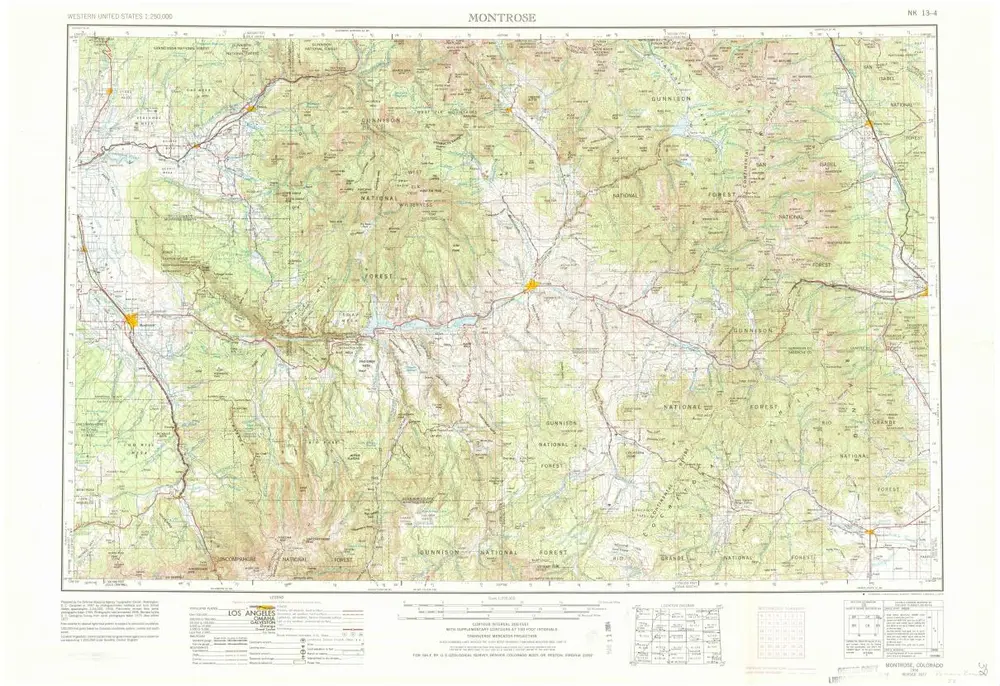
Montrose
1968
1:250k
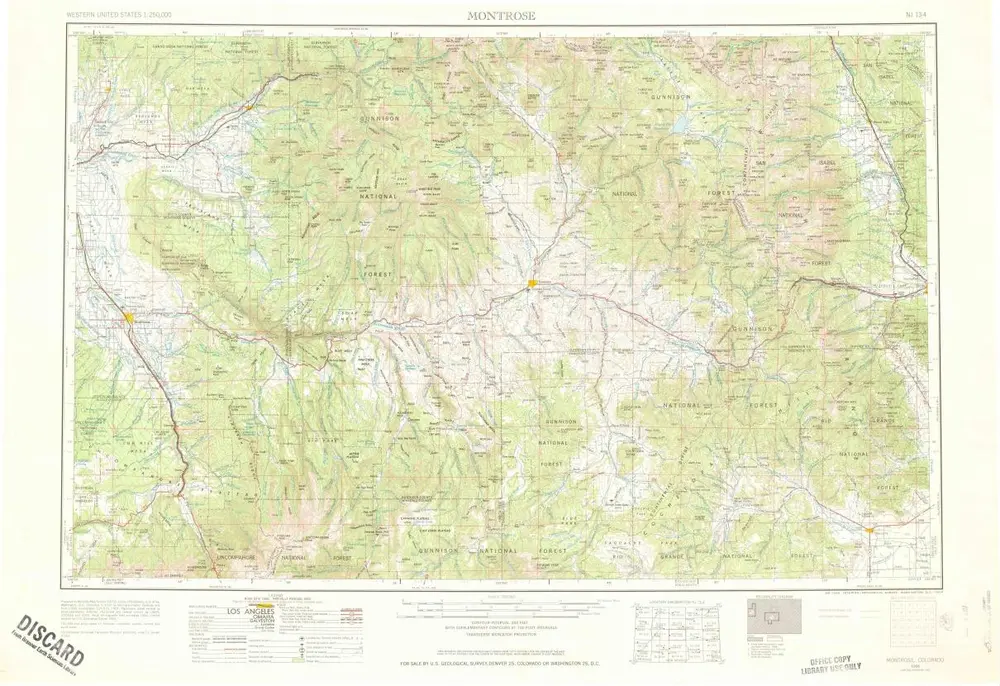
Montrose
1960
1:250k
Montrose
1960
1:250k
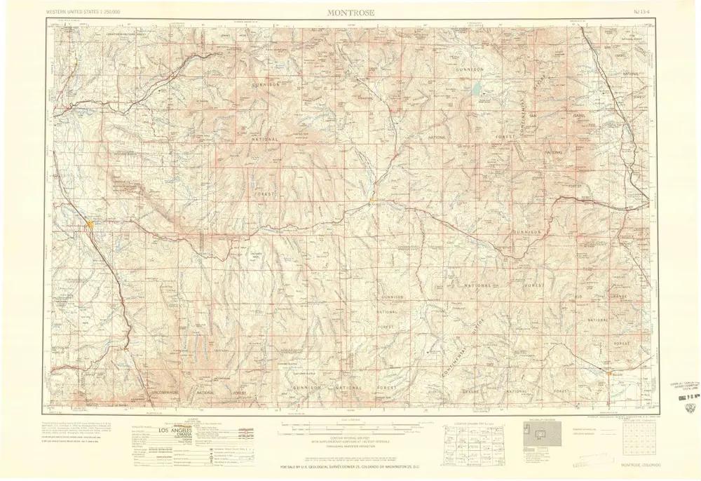
Montrose
1956
1:250k
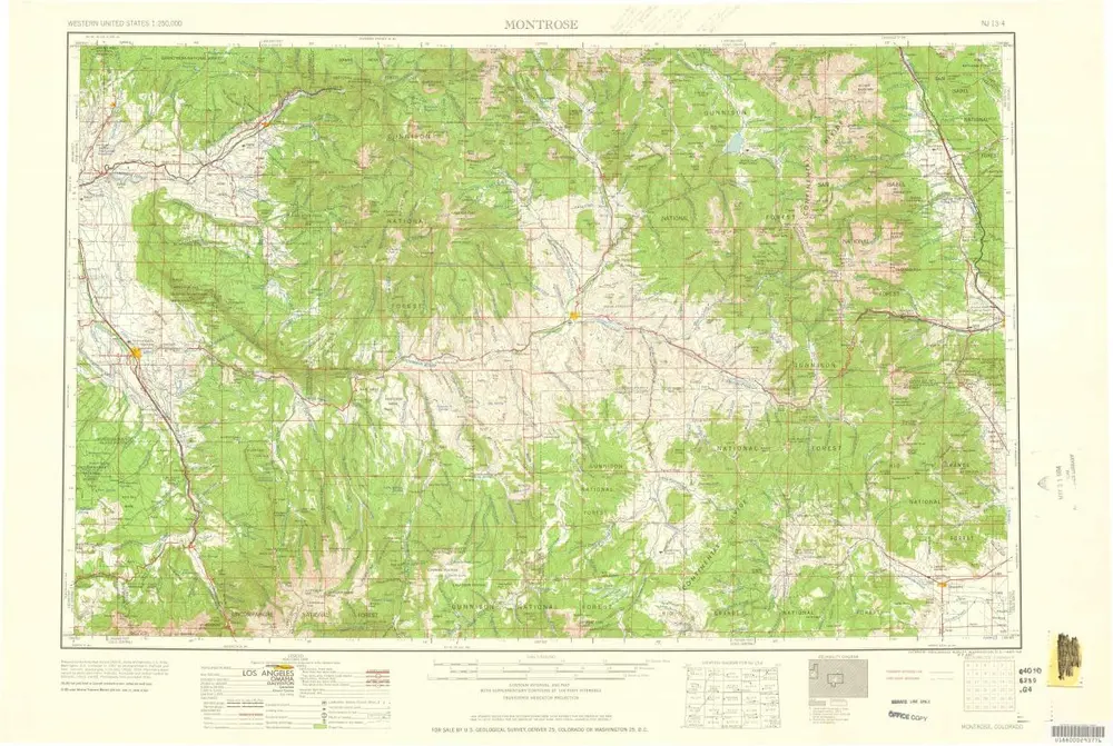
Montrose
1956
1:250k
Montrose
1956
1:250k
Geschichte